
Hiking
Via Dinarica in Montenegro: Sections, Permits and Huts
ByThe 3E Travel team · · 8 min read
A practical guide to the Via Dinarica in Montenegro: the stages from Durmitor to Prokletije, marking, huts, permits, water and the best season.
The Via Dinarica is a network of long-distance hiking trails along the Dinaric Alps. Its main line, the White Trail, runs about 1,260 km from Slovenia to northern Albania in 45 official stages. In Montenegro it crosses Durmitor, Sinjajevina, Biogradska Gora, Bjelasica and Komovi. Then it heads for Prokletije on the Albanian border.
The Montenegro part is about 200 km on the official stages, with close to 7,000 m of climbing. It suits fit hikers who can read a map and enjoy empty mountains. Most people pick one or two sections and spend a week there.
Via Dinarica in Montenegro at a glance
| Fact | Detail |
|---|---|
| Full White Trail | About 1,261 km, 45 stages, Slovenia to Albania |
| Montenegro stages | Durmitor to Gusinje, about 207 km on official stages 39 to 43 |
| Height gain in Montenegro | About 6,900 m up on those stages |
| Highest peaks near the route | Bobotov Kuk (about 2,523 m), Kučki Kom (2,487 m), Zla Kolata (about 2,534 m) |
| Surface | Mountain paths, pasture tracks, gravel and some village roads |
| Season | Late June to September for the high ground |
| Time needed | About 8 to 12 walking days for all of Montenegro, or 3 to 7 days per section |
| Start and finish | Pivska planina or Žabljak in the north, Gusinje or Plav in the south |
What the Via Dinarica is
The project started in 2010. A pilot trail linked Sutjeska National Park in Bosnia and Herzegovina with Durmitor in Montenegro. Today there are three trails. The White Trail follows the main ridge and passes the highest peak of each country except Slovenia. The Green Trail runs along the greener, lower eastern slopes and reaches into Serbia and Kosovo. The Blue Trail follows the Adriatic coast, islands and lower coastal mountains.
The White Trail is the finished one. The Green and Blue trails are still being built, and the official site adds stages as they open. The official route data on trail.viadinarica.com is published by Via Dinarica BiH. On the ground, the paint marks are mostly older paths kept up by local mountain clubs and national parks. That matters, because the quality of the marking changes from one area to the next.
The Montenegro section, stage by stage
The official White Trail enters Montenegro from Maglić in Bosnia and drops through the Piva Canyon to Pivska planina. From there it runs south and east in five main stages.
Durmitor (stage 39, about 42 km)
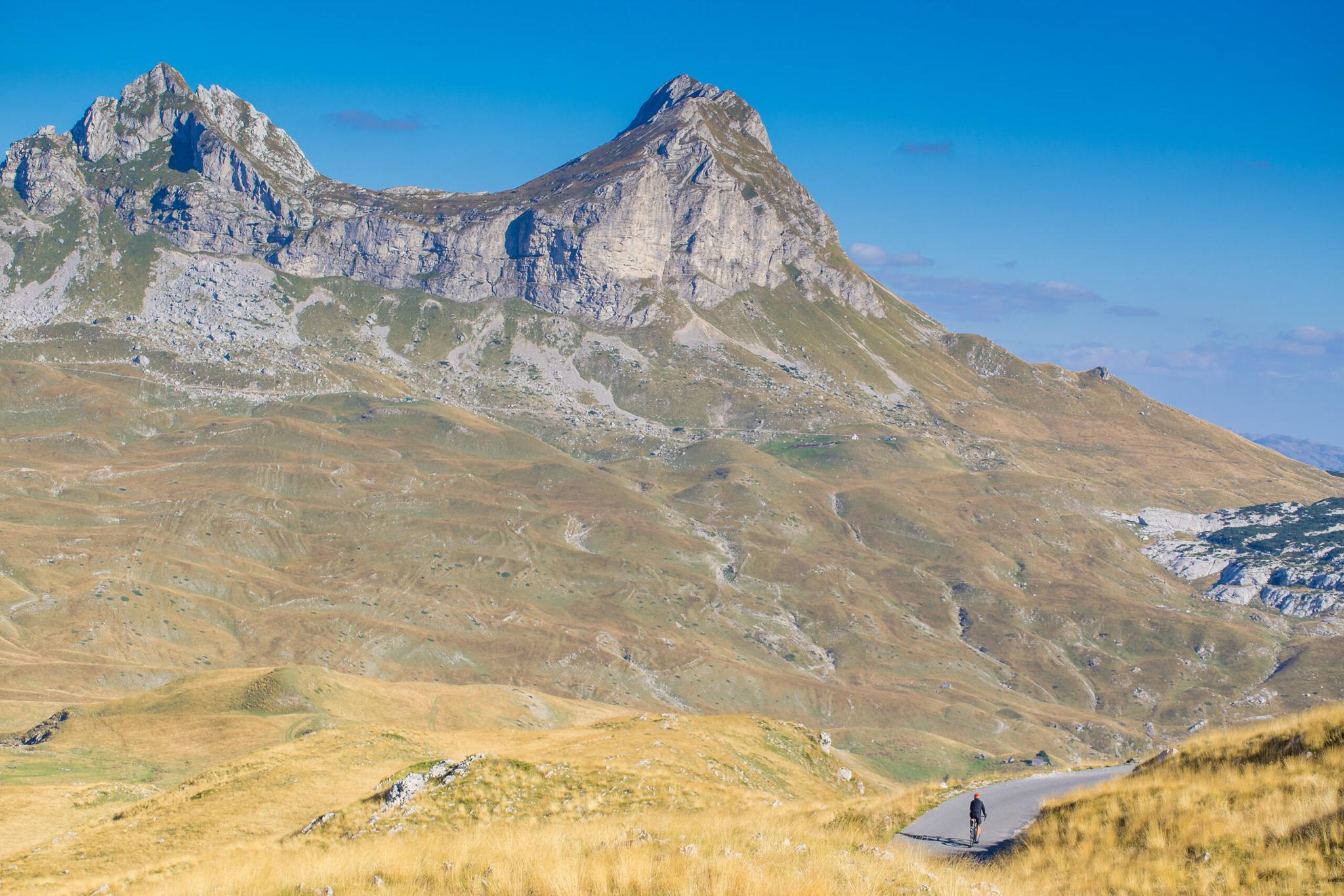
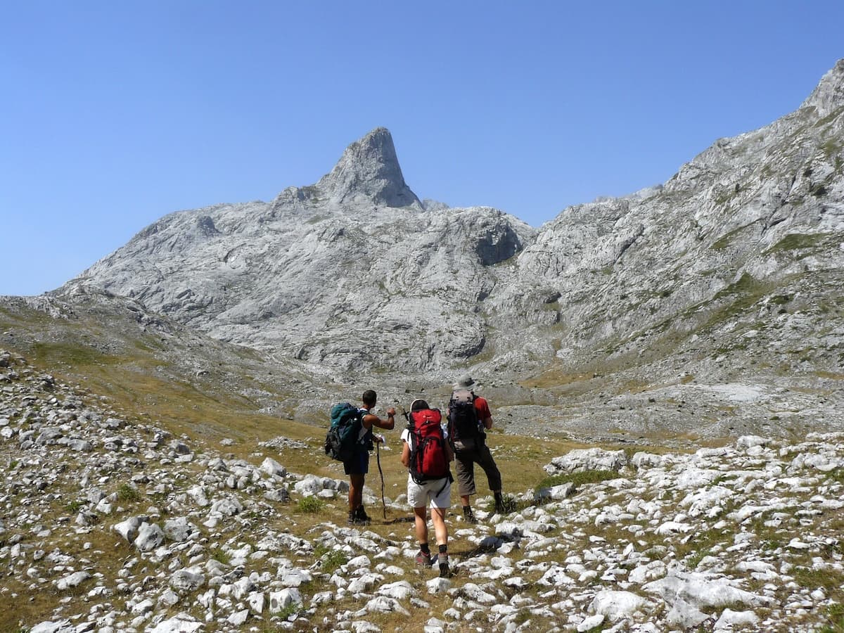
This is the most visited park in the country and the best marked part of the route. The stage climbs about 1,760 m across limestone peaks and glacial lakes around Žabljak. Bobotov Kuk, at about 2,523 m, is the highest summit fully inside Montenegro. Plan two days, plus a spare day for the summit.
Sinjajevina to Biogradska Gora (stage 40, about 78 km)
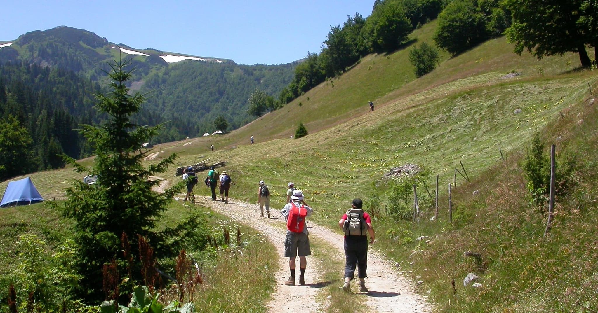
This is the longest official stage. It crosses the wide, high pastures of Sinjajevina, with shepherd camps and very little shade. Water is the main problem here. Plan three to four days and carry enough for long dry stretches. One hiker found few springs on the plateau between Mojkovac and Žabljak.
Bjelasica to Komovi (stage 41, about 41 km)
The route leaves the old forest of Biogradska Gora and crosses the rounded ridges of Bjelasica to Komovi. Kučki Kom is the high point at 2,487 m. Eko Katun Štavna, a group of rental huts on the plateau below the peaks, is the usual base. Plan two days.
Komovi to Gusinje (stages 42 and 43, about 45 km)
Stage 42 crosses into Albania at Vermosh. Stage 43 is a short, flat walk back into Montenegro to Gusinje. Plan two to three days. This is the remote end of the route, with few villages and long gaps between shops.
Prokletije and the Peaks of the Balkans
Stage 44 leaves Gusinje and crosses Prokletije to Theth in Albania. On the way it passes Maja Jezerce, at 2,694 m the highest point of the whole White Trail. Here the Via Dinarica meets the Peaks of the Balkans. That is a 192 km loop through Albania, Kosovo and Montenegro, usually walked in 10 stages. The two routes share the same mountains, villages and border rules, so many hikers mix them. See our Peaks of the Balkans trips.
What about Maganik?
Maganik sits off the official White Trail. It is a wild range in central Montenegro, between Nikšić and Kolašin, topping out at Međeđi Vrh (2,139 m). Its summit routes are mostly unmarked and rocky. Treat it as a separate trip for experienced hikers, or go with a local guide.
Waymarking, maps and apps
Look for a white circle with a red ring, painted on rocks and trees. Inside Durmitor and the other national parks the marks are good. Outside the parks they get thin. On pastures, tall grass hides the paint. On the limestone plateaus the marks are hard to follow, and in fog they disappear.
Do not rely on paint alone. Two separate trip reports say the official GPX track is wrong in places. Carry the track in an offline app such as Mapy.cz or Outdooractive. Keep a second source as backup, and bring a power bank. Phone signal is patchy in the high valleys, so download everything before you leave town.
Huts, katuns and camping
In Montenegro you sleep in a mix of guesthouses in Žabljak, Kolašin and Gusinje, self-catering huts, and katuns. A katun is a summer shepherd camp. Some now rent simple rooms or cabins and sell cheese, milk and bread. The official trail site lists huts such as Džambas near Mojkovac, a self-catering hut at 1,417 m. Book ahead in July and August.
Camping rules vary by park and by zone. Durmitor sells tent spaces for €3 a night and charges a €5 daily park ticket. Outside the parks, discreet one-night camping is usually tolerated, but ask the landowner or the nearest katun first. Water comes from springs, wells and cisterns. Treat or filter it, and carry at least two litres between sources.
Borders and permits
The Montenegro stages cross into Albania at Vermosh and come back at Gusinje. Prokletije routes also cross into Kosovo. Some crossings use an official road checkpoint. Others cross a mountain ridge with no checkpoint at all. Walking across there needs a border permit from the border police of each country.
Apply at least three to four weeks ahead, and earlier for July and August. You send your passport details, the crossing point, the date and the time. Many hikers ask a local agency to handle it for a small fee. Carry printed copies and photos of every permit. The rules and fees change, so check them each year before you go.
Durmitor and Prokletije also charge a small daily national park fee. Buy it online or at the entrance and keep the ticket with you.
When to go
The high ground is best from late June to September. In early June, hikers report snow on the passes, cold rain and thunderstorms in Montenegro. July and August are the driest months, but afternoon storms are common on Durmitor and Komovi. Start early and be off the ridges by mid-afternoon. September brings clear, quiet days. By October, the first snow can arrive above 2,000 m, and many katuns close for the winter.
For more detail by month, see our guide on when to hike in Montenegro.
On foot vs by bike
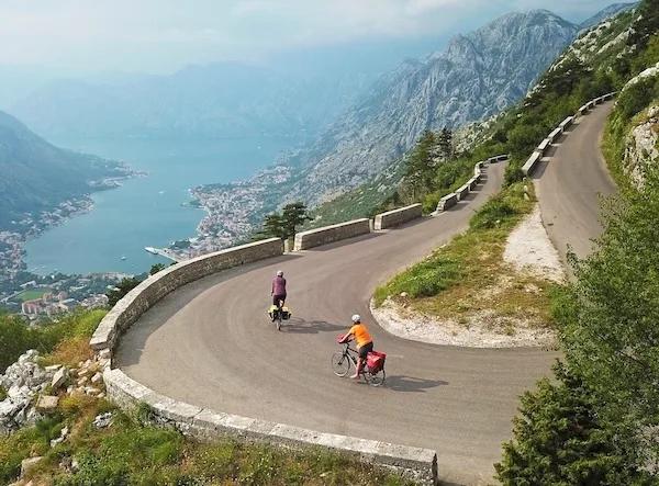
The Via Dinarica is a hiking route with steep, rocky sections you cannot ride. Cyclists have their own line, the Trans Dinarica. It is a 5,000-plus km cycle route across eight Western Balkan countries.
The Montenegro part of the Trans Dinarica is 369 km with about 6,010 m of climbing. About 94% of it is paved. It follows the Tara Canyon, climbs to Žabljak in Durmitor, then passes Kolašin, Biogradska Gora, Štavna, Andrijevica, Plav and Gusinje. Hikers get the ridges and the katuns. Cyclists get the canyons and cover more ground each day.
Hike a section with luggage transfers
The full route means a heavy pack, long dry stretches and border paperwork. The easier way is to walk the best days with a daypack. Your bags travel by road to the next bed. That is how we run our hiking and trekking tours in Montenegro.
Our Montenegro's Northern Majesty tour covers three Via Dinarica parks in 7 days, guided or self-guided. In Durmitor you walk through the upper Komarnica Canyon, climb Crvena Greda, and reach the ridge below Bobotov Kuk. Then come the lakes of Biogradska Gora, with an option to climb the highest peaks of Bjelasica. The trip ends in Prokletije on Talijanka (2,057 m) and the Karanfili range. Luggage transfers, GPX tracks, maps, a roadbook and a 24/7 service line are included. The Karanfili day is partly unmarked, so we recommend a guide unless you navigate well.
For the southern end, take our guided Peaks of the Balkans trek. It spends 8 days in the Accursed Mountains of Kosovo, Montenegro and Albania. It crosses the Jelenak Pass into Montenegro, then walks from Grebaje over the border to Theth and on to Valbona. A local English-speaking guide and luggage transfers are included. Read more in our Peaks of the Balkans guide.
How long is the Via Dinarica?
The White Trail is about 1,261 km in 45 official stages, from Slovenia to northern Albania. A full thru-hike takes most people 45 to 60 days.
How long is the Via Dinarica in Montenegro?
The official stages from Durmitor to Gusinje add up to about 207 km and 6,900 m of climbing. Plan 8 to 12 walking days, or pick one section and walk it in 3 to 7 days.
Is the Via Dinarica well marked in Montenegro?
Inside the national parks, yes, with red and white circles. Outside them the marks are patchy, so carry a GPX track in an offline app.
Do I need a permit for the Via Dinarica?
You need a border permit for every crossing on foot between Montenegro, Albania and Kosovo. National parks such as Durmitor also charge a daily entry fee.
Can I wild camp on the Via Dinarica in Montenegro?
Rules depend on the park and zone. Durmitor sells tent spaces, and outside the parks you should ask the landowner or the nearest katun first.
What is the difference between the Via Dinarica and the Peaks of the Balkans?
The Via Dinarica is a 1,260 km line across seven countries. The Peaks of the Balkans is a 192 km loop through Albania, Kosovo and Montenegro. They meet in Prokletije.
Written by
The 3E Travel team