


Montenegro
8 days · Hiking
From the Bay of Kotor to Lake Skadar – Historical trade and military trails
▲▲▲▲▲Moderate
Walking · Hiking · Cycling · Montenegro
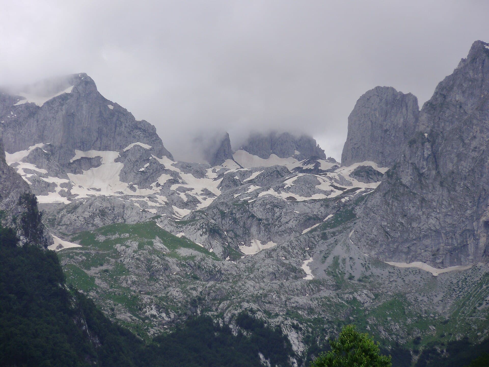
Walking, hiking and cycling holidays in Prokletije National Park, self-guided or with a local guide. Prokletije holds Montenegro's highest ground, Zla Kolata at 2,534 m, where the country meets Albania and Kosovo. Declared a national park in 2009, it covers 16,630 hectares of glacial lakes, waterfalls and peaks — more than 50 above 2,000 m. The 192 km Peaks of the Balkans Trail threads three countries through here. Gateway towns Plav and Gusinje sit in the valley below. Snow lingers year-round at altitude, so the range rewards those who plan their timing and come prepared.
Why Prokletije National Park
We've spent years walking, hiking and cycling across Prokletije National Park in every season. The trips below are built around the routes that work — the quiet ones, the beautiful ones, the ones with great food at the end of the day.
If none of them quite fit, get in touch. We'll happily build you a private version, shaped around your interests, fitness and pace.
How we travel here
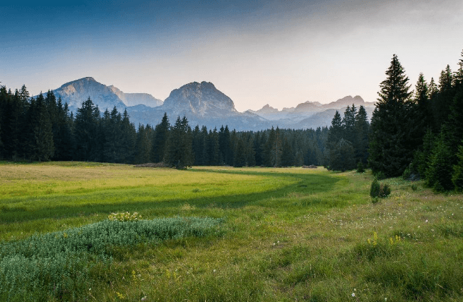
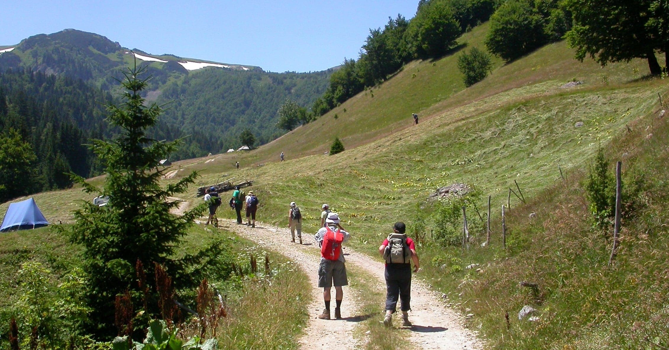
Walking
Coastal trails, village paths and slow days on foot, with time to stop.
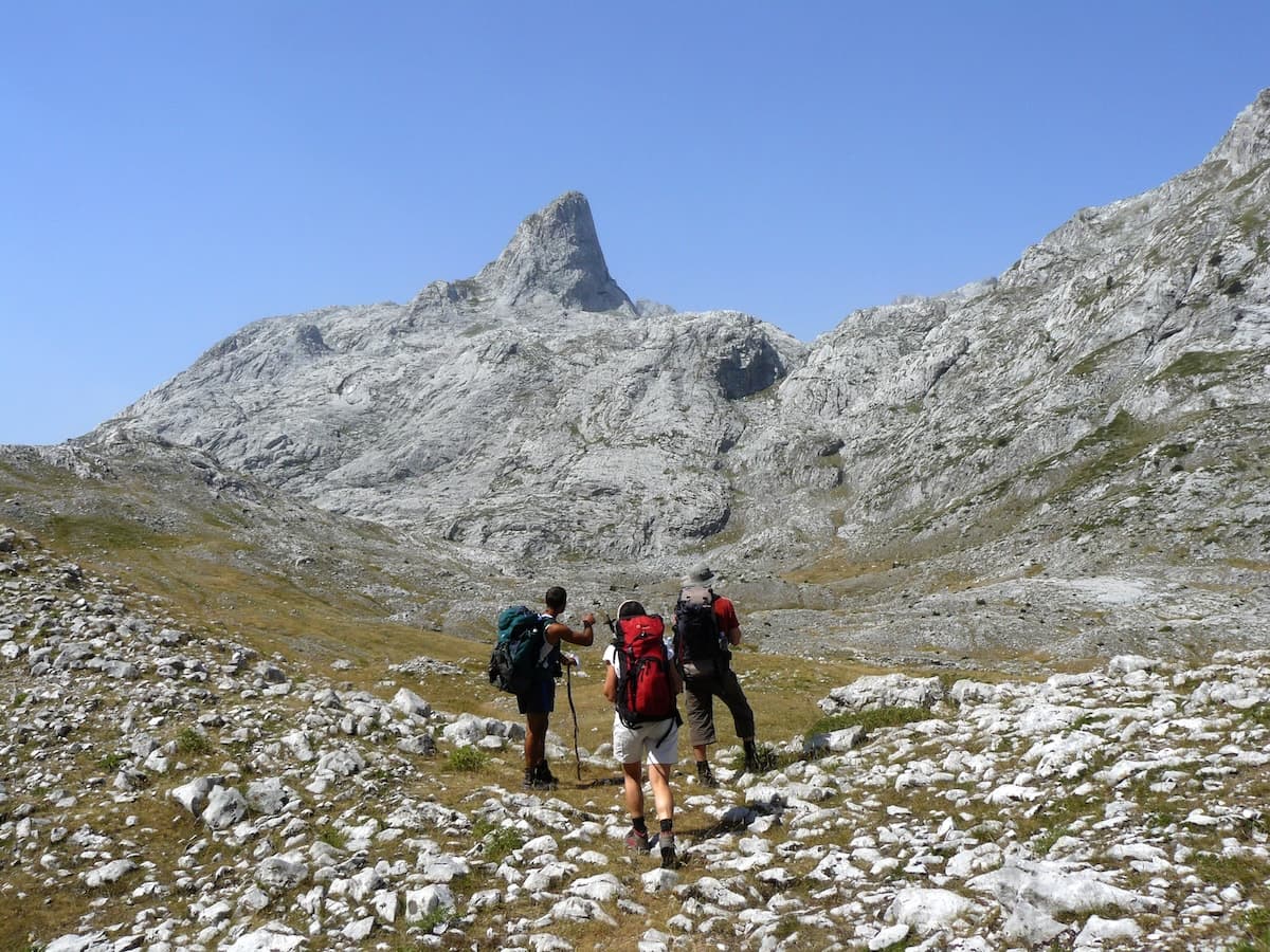
Hiking
Mountain trails, hut-to-hut days and summit walks, graded honestly.
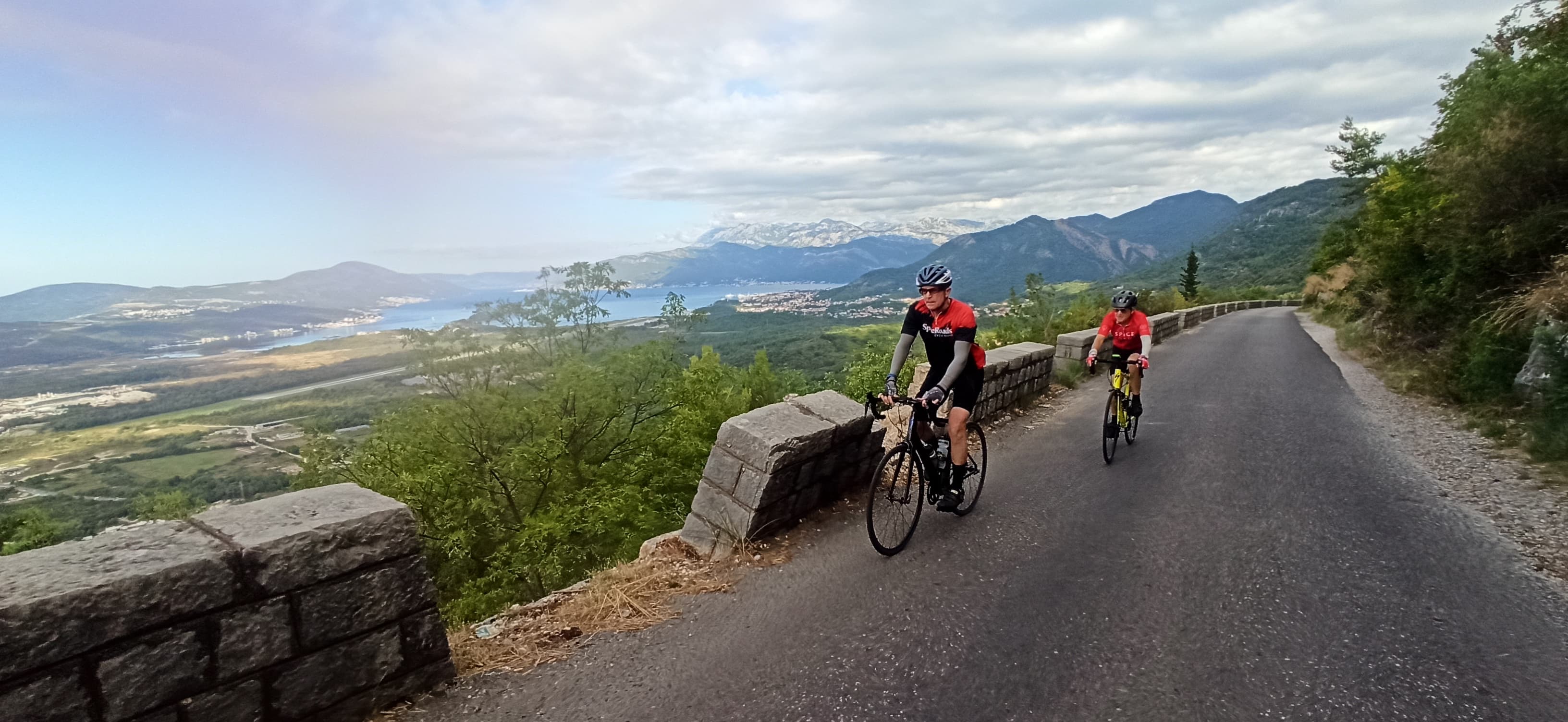
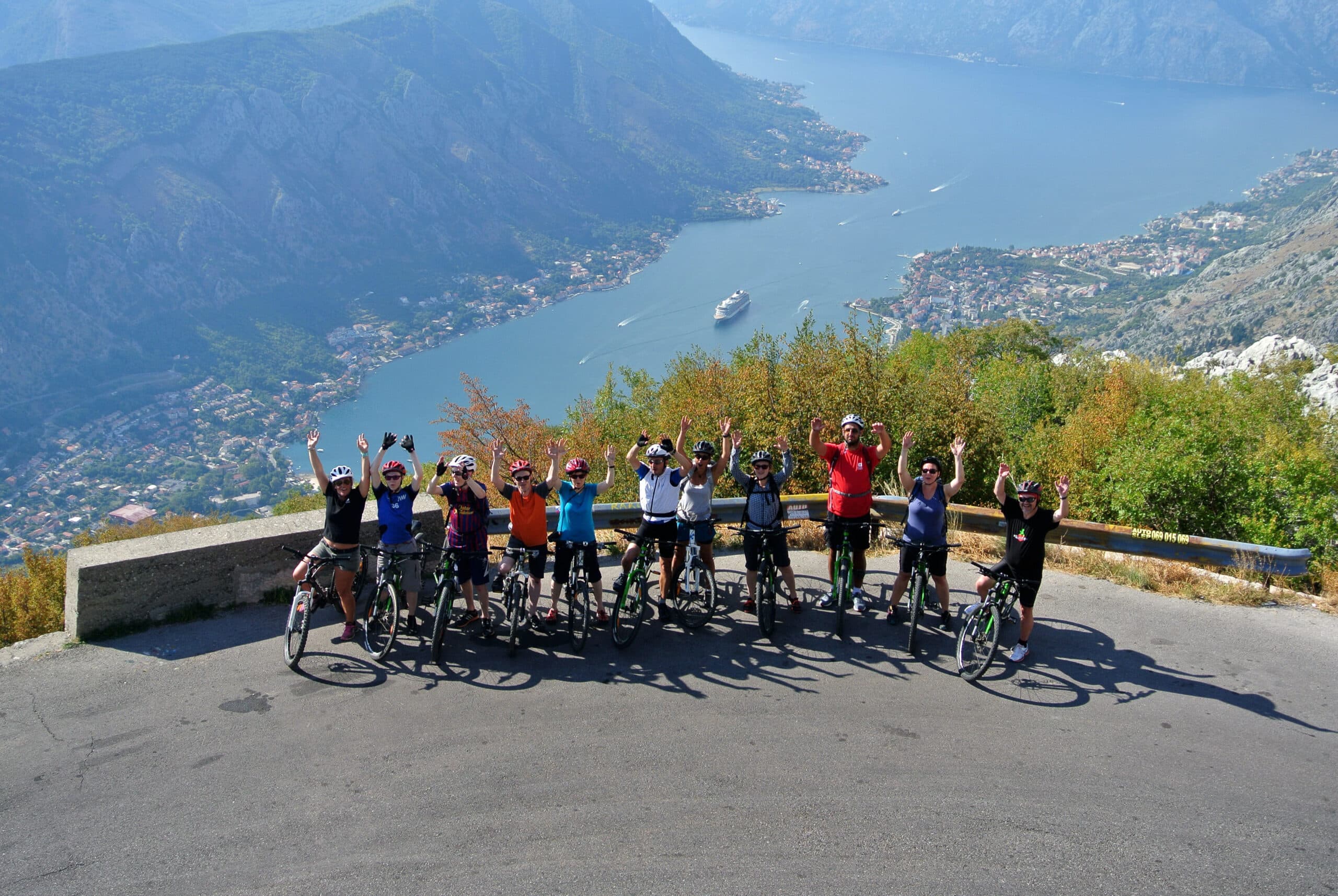
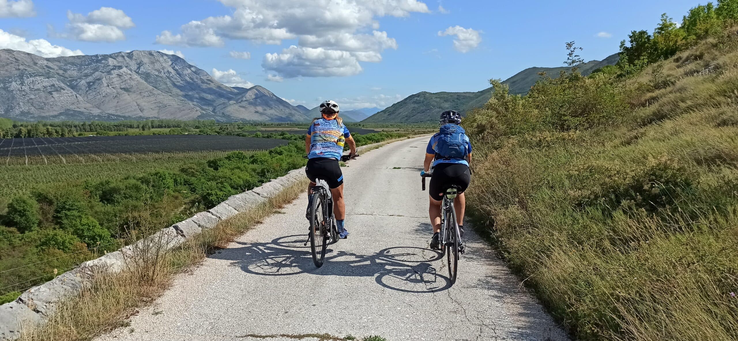
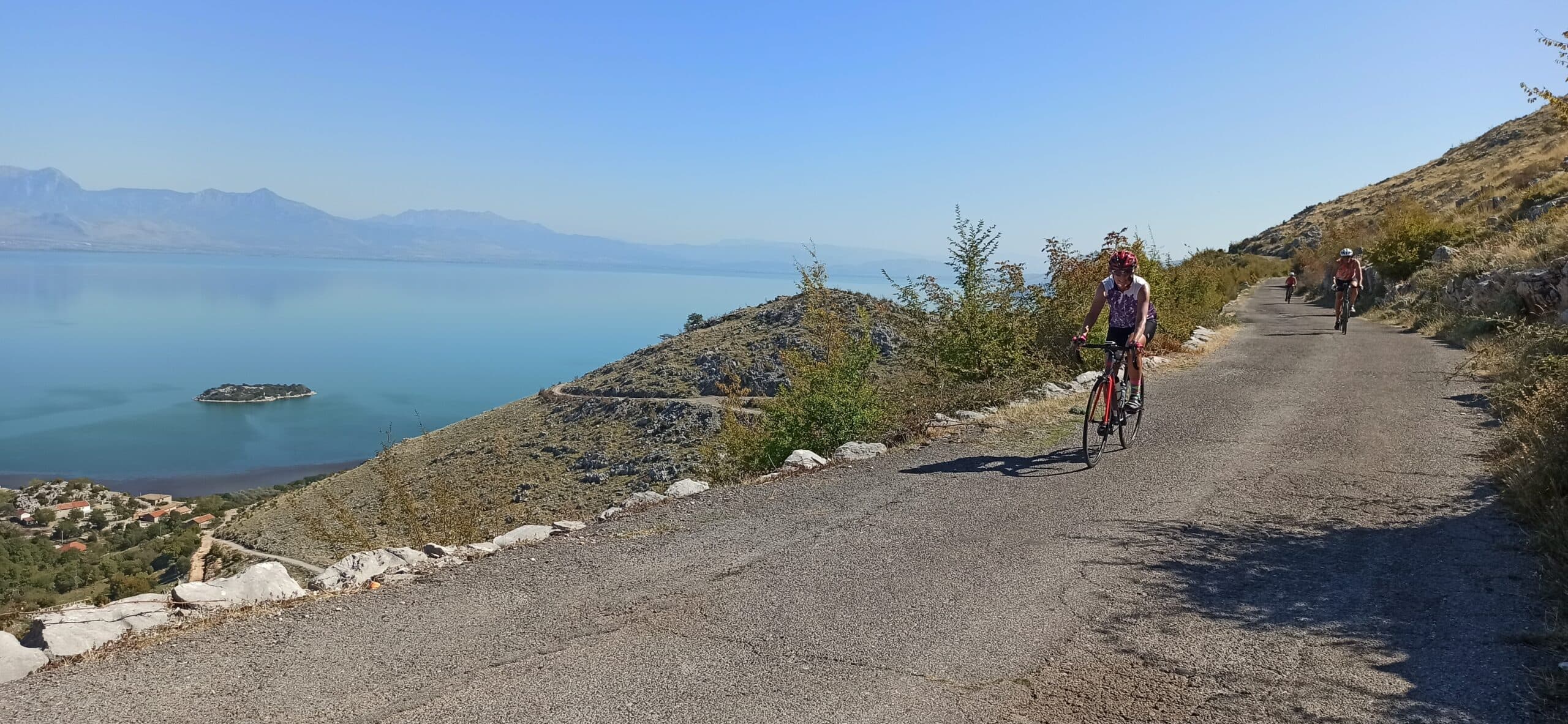
Cycling
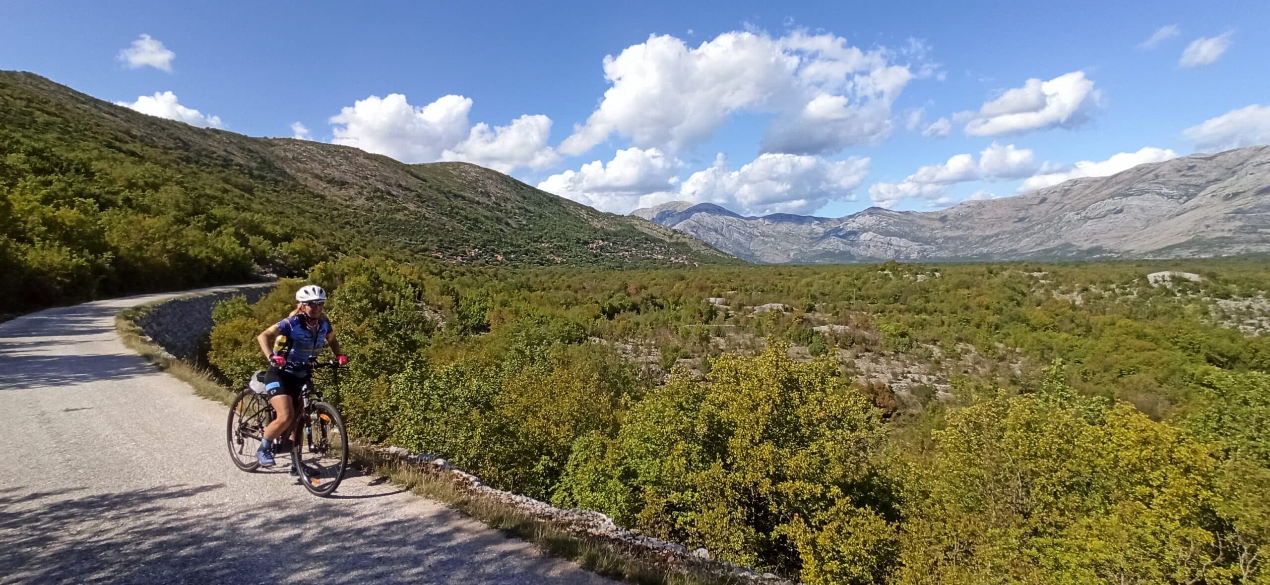
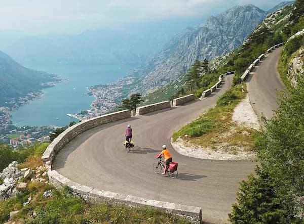
Quiet back roads and gravel routes — road, gravel and e-bike, with luggage moved between stays.
Travel guide
Prokletije National Park was proclaimed in 2009, the fifth national park in Montenegro and one of the youngest in the Dinaric region. It covers 16,630 hectares, with a protection zone of a further 6,252 hectares, and includes two nature reserves at Volušnica and Hridsko Lake. The park sits in the far southeast of the country, bordering Albania and Kosovo. To the north it is bounded by the Plav–Gusinje valley, to the south by high ridges and the Albanian frontier, to the west by the Grnčar river and to the east by Mount Bogičevica. The range lies at the southern end of the Dinaric Alps, more than 60 km from Skadar Lake. There are 76 named mountains, over 50 peaks above 2,000 m and 20 above 2,500 m. Zla Kolata (2,534 m), on the Albania–Montenegro border, is the highest point in Montenegro, followed by Maja Kolata (2,528 m). The name Prokletije means "damned".
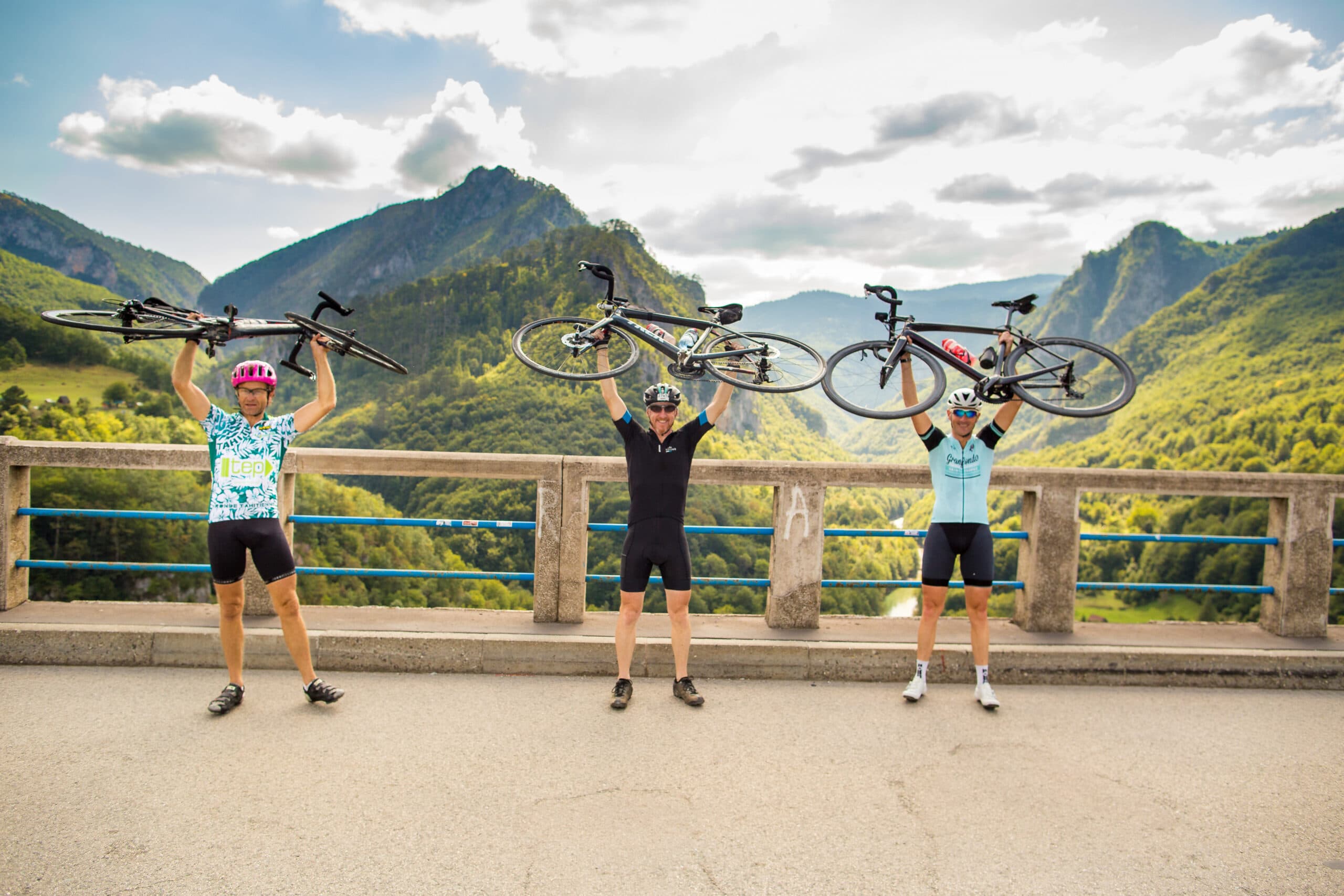
The range packs its scenery tightly. Zla Kolata reaches 2,534 m on the Albanian border, with Maja Kolata at 2,528 m and Maja e Rosit at 2,524 m close behind — part of over 50 peaks clearing 2,000 m. Glacial lakes are the other draw. Hrid Lake sits at 1,970 m, roughly 35,000 square metres in surface, 300 m long and 160 m wide, 5–6 m deep, reached by a rough 4x4 track to Veliki Hrid then a 10-minute walk. Plav Lake, at 906 m between the Visitor and Prokletije massifs, runs 2,160 m north to south, 920 m wide and up to 9 m deep; the Lim river flows out of it. Named lakes also include Visitorsko, Ropojansko and Tatarijsko. In Vusanje, at the mouth of the Ropojana Valley, the Grlja Waterfall drops 12 m into a canyon, fed by the Blue Eye spring and snowmelt. The Ali-Pasha Springs sit a couple of kilometres from Gusinje.
The headline route is the Peaks of the Balkans Trail, a 192 km waymarked circuit linking Montenegro, Albania and Kosovo across terrain between 670 m and 2,300 m. It typically takes around ten days, using the Plav–Gusinje valley as one of its access points, and requires cross-border permits arranged in advance. The Via Dinarica long-distance route also passes through the region; National Geographic Traveler has listed it among leading hiking destinations. Shorter days from Gusinje reach the Ropojana Valley, Grlja Waterfall and the Ali-Pasha Springs; Hrid Lake makes a stiffer objective given the 4x4 approach. Ascents of Zla Kolata start from the Montenegrin side near the Kolata massif and cross to 2,534 m on the border ridge.
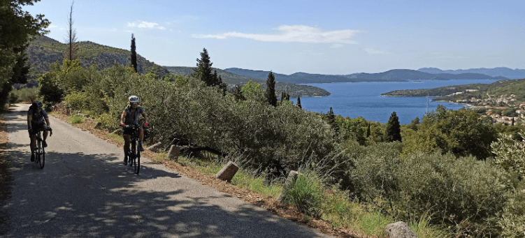
The nearest airport is Podgorica (TGD). By car, Podgorica bus station to Plav is about 52 miles and around 1 hour 53 minutes. Tivat airport is roughly 200 km from Plav, a taxi taking about 3.5 hours, so Podgorica is the more practical arrival point. Elan Company runs a bus from Podgorica bus station to Plav twice daily; tickets cost about €14–15 (quoted as roughly $16) and the journey takes about 3 hours 57 minutes. From Plav, a direct Elan bus to Gusinje runs four times a day and takes about 12 minutes; the two towns are 7.7 miles apart by road, around 16 minutes by car. Plav and Gusinje are the two gateway settlements and the natural bases for reaching trailheads, lakes and the Ropojana Valley. Beyond the surfaced roads, access to points such as Veliki Hrid needs a 4x4.
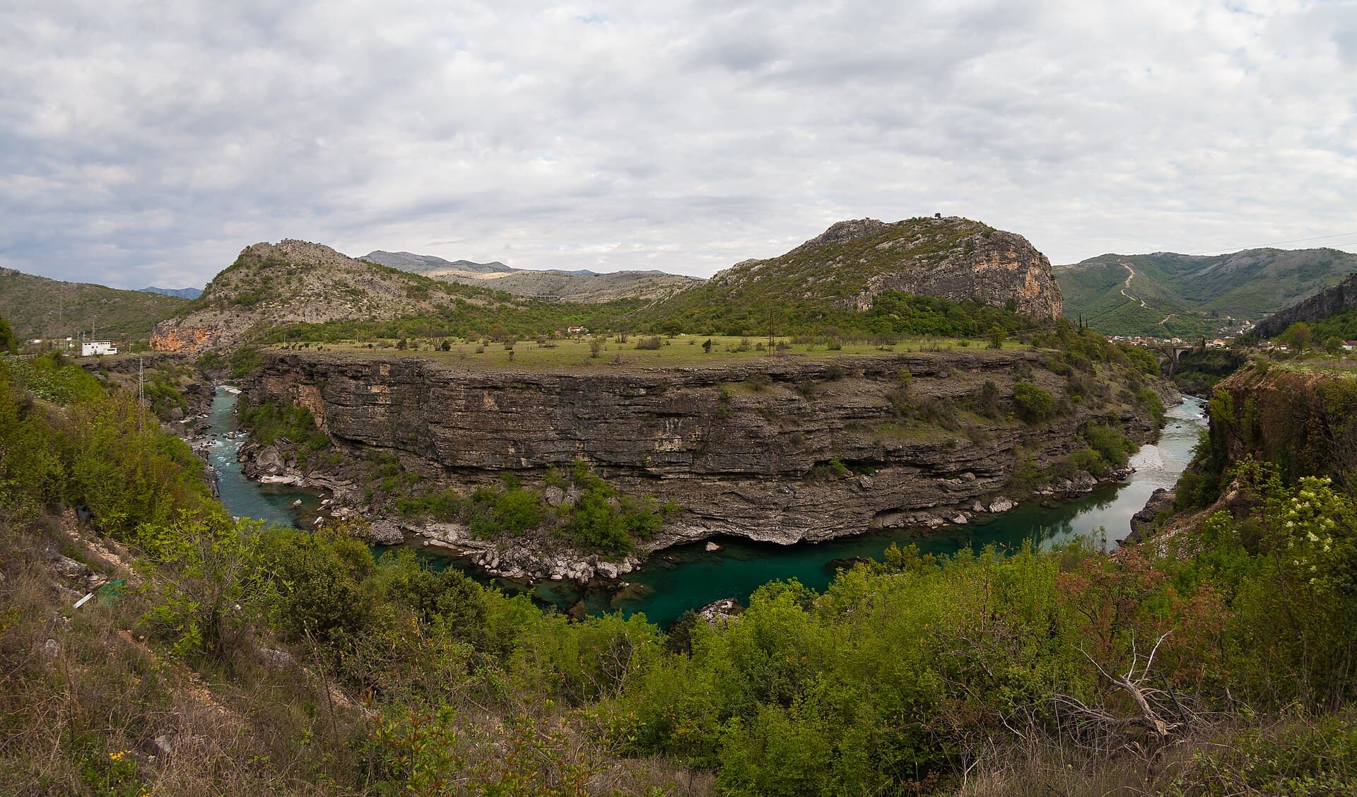
Ivan25 · CC BY-SA 3.0 · Wikimedia Commons
Entry to the national park is €3 per person. The park is effectively open-access, and no fixed 2026 calendar opening dates have been published by the sources consulted — access is governed by snow rather than a gate. Snow can lie year-round in the Prokletije mountains, particularly at higher altitudes, so the high peaks and passes are a summer proposition. For the Peaks of the Balkans Trail and ascents above 2,000 m, the reliable window is generally mid-summer into early autumn, once snow has cleared from the ridges between 670 m and 2,300 m. Lower objectives around Gusinje — the Grlja Waterfall, the Ropojana Valley and the Ali-Pasha Springs — open up earlier and hold their appeal through the shoulder months. Cross-border sections require permits arranged ahead of time.
Our journeys
21 journeys planned by our team in Podgorica — from gentle coastal weeks to high-mountain crossings.
Build your own trip →8 days · Hiking
7 days · Hiking
8 days · Cycling
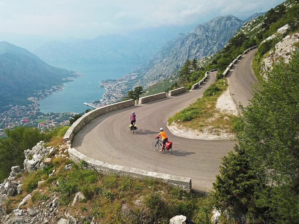
7 days · Cycling
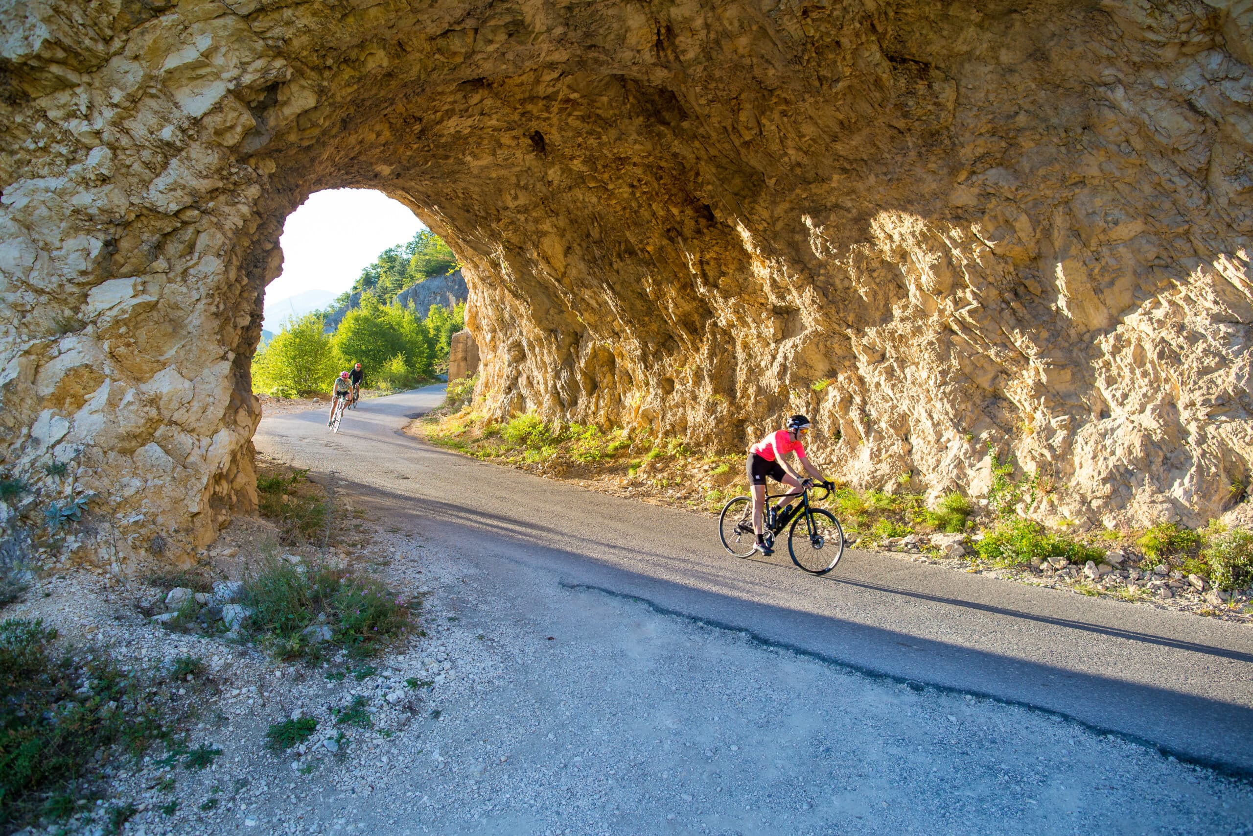
8 days · Cycling
8 days · Hiking
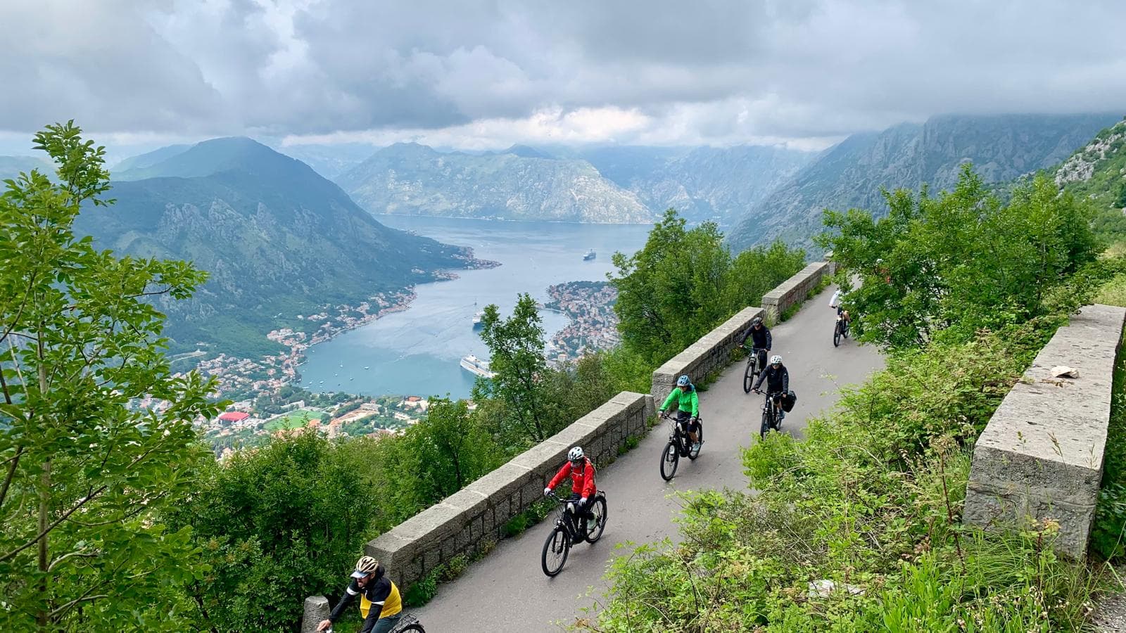
8 days · Cycling
7 days · Cycling
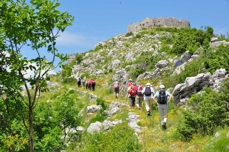
7 days · Hiking
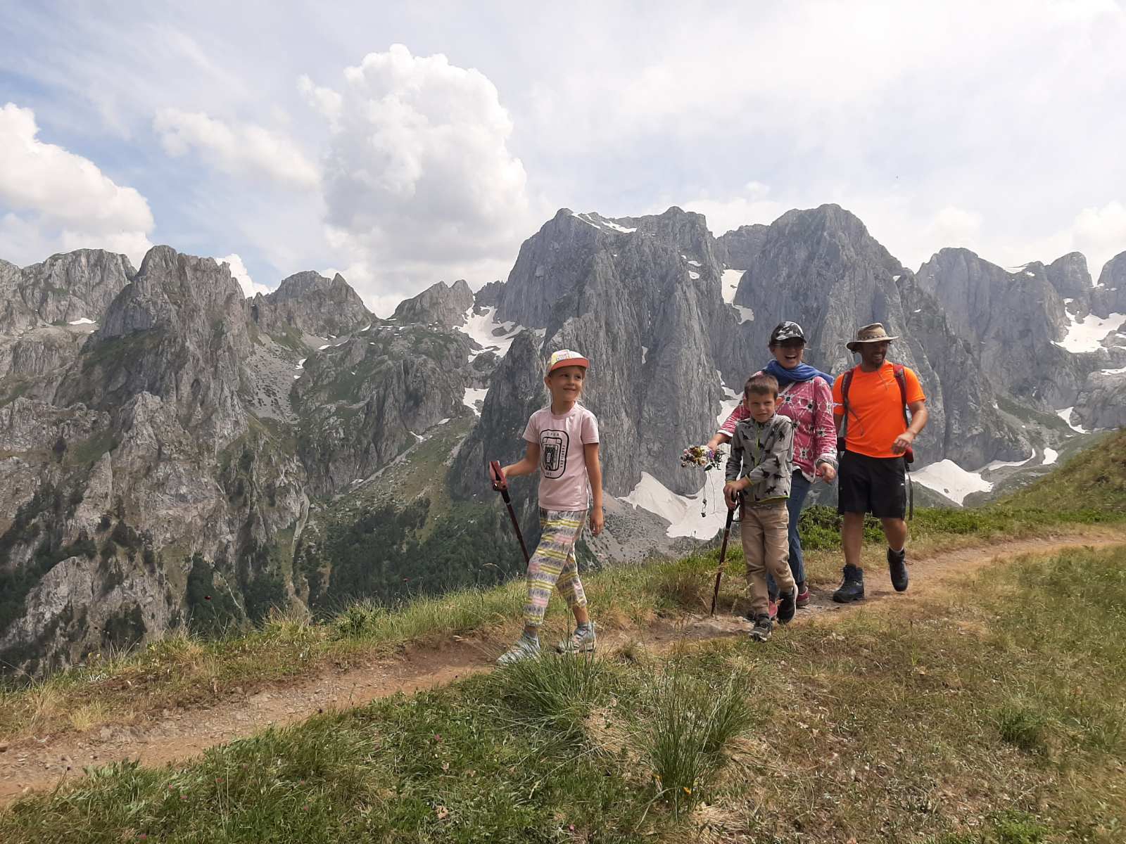
1 day · Cycling
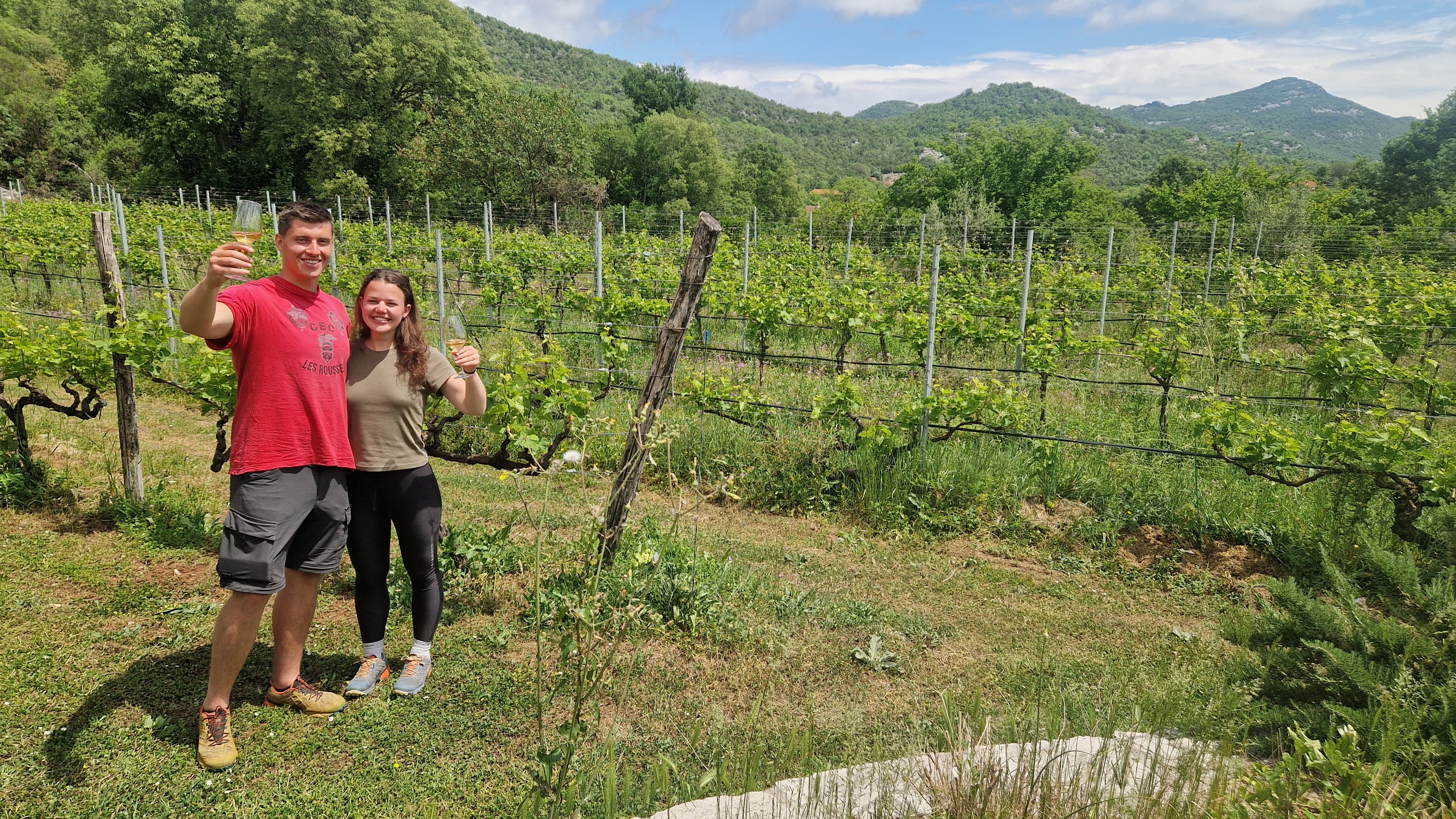
1 day · Cycling
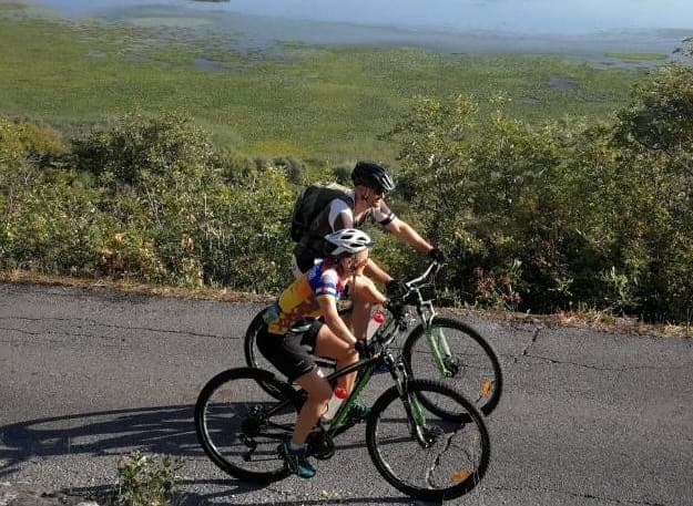
1 day · Cycling
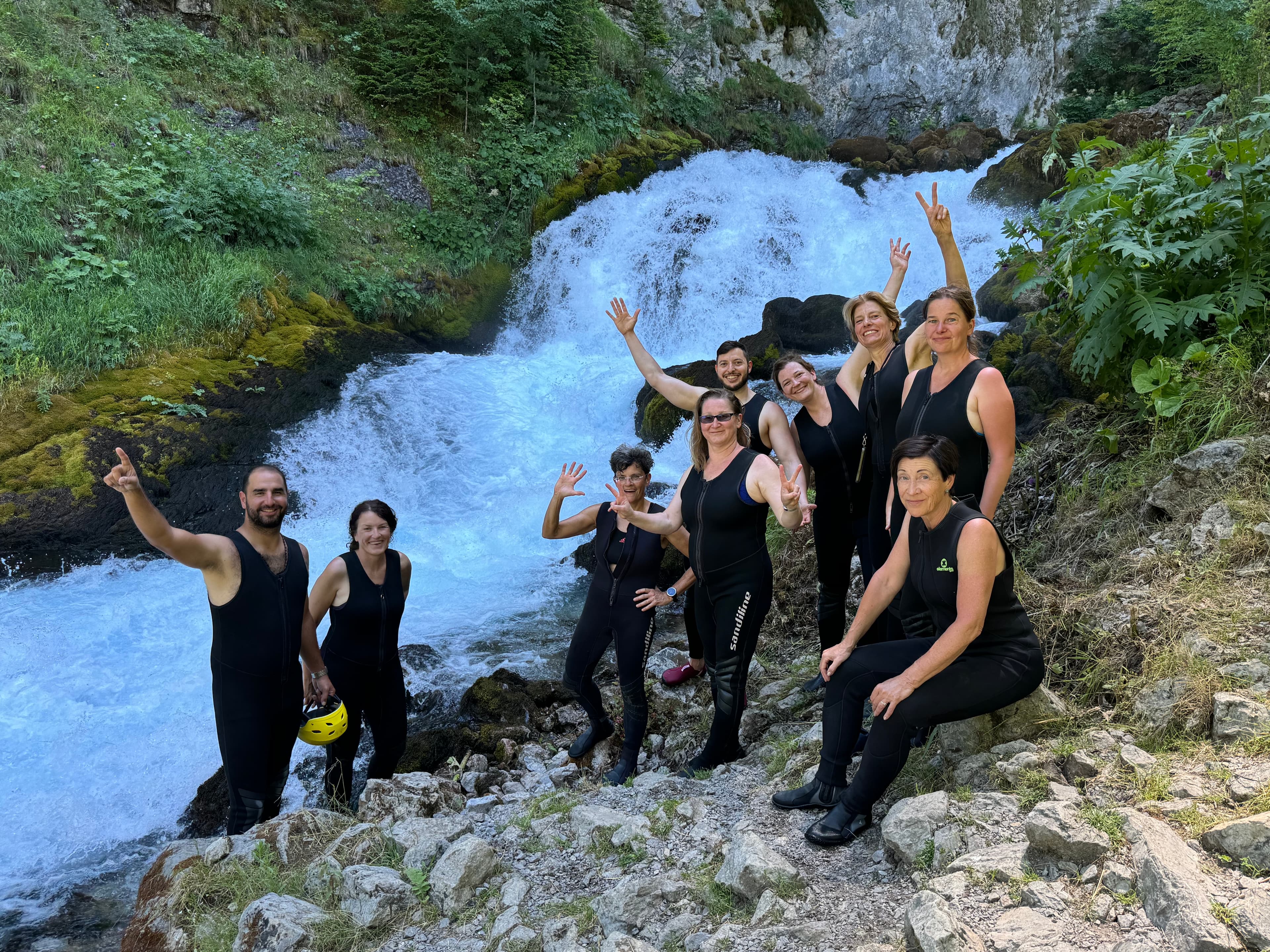
9 days · Cycling
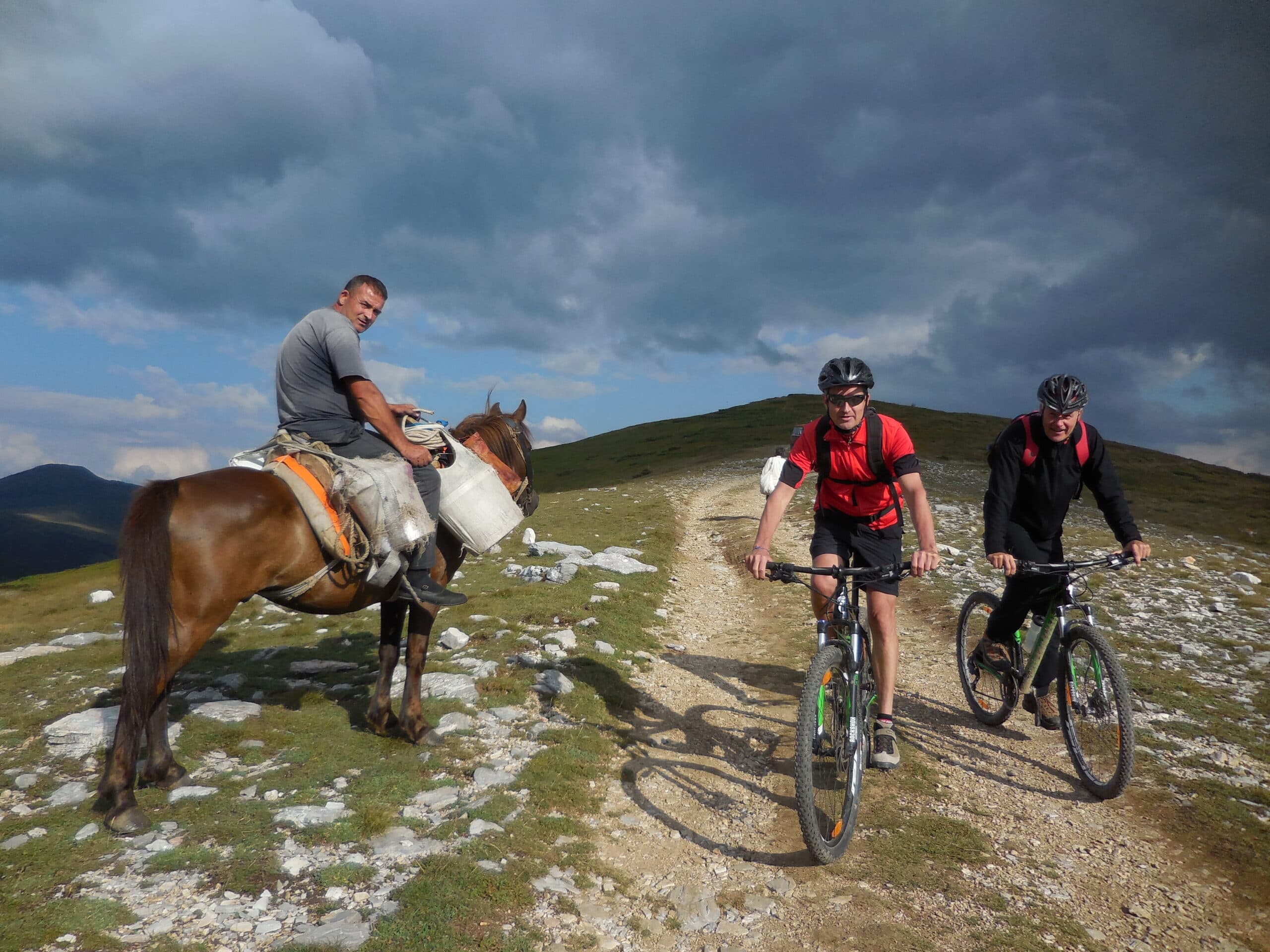
8 days · Cycling
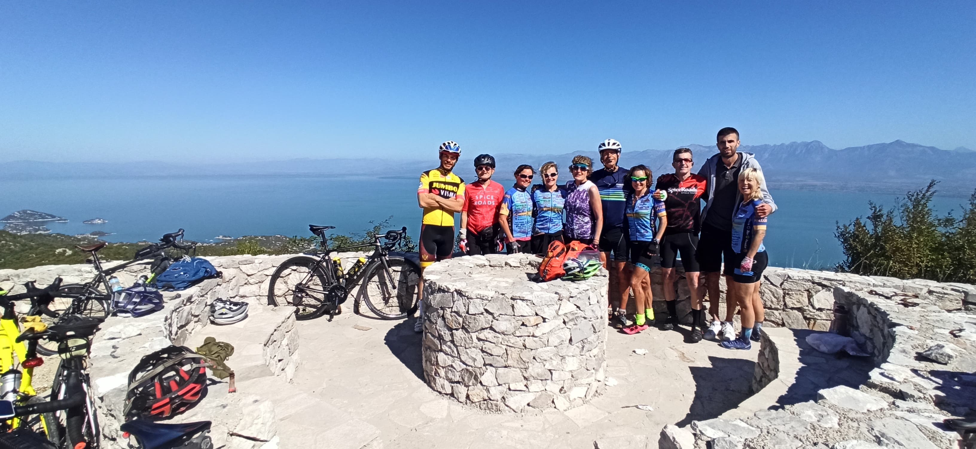
7 days · Cycling
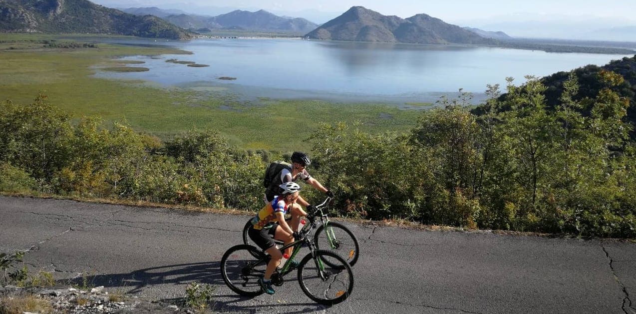
7 days · Cycling
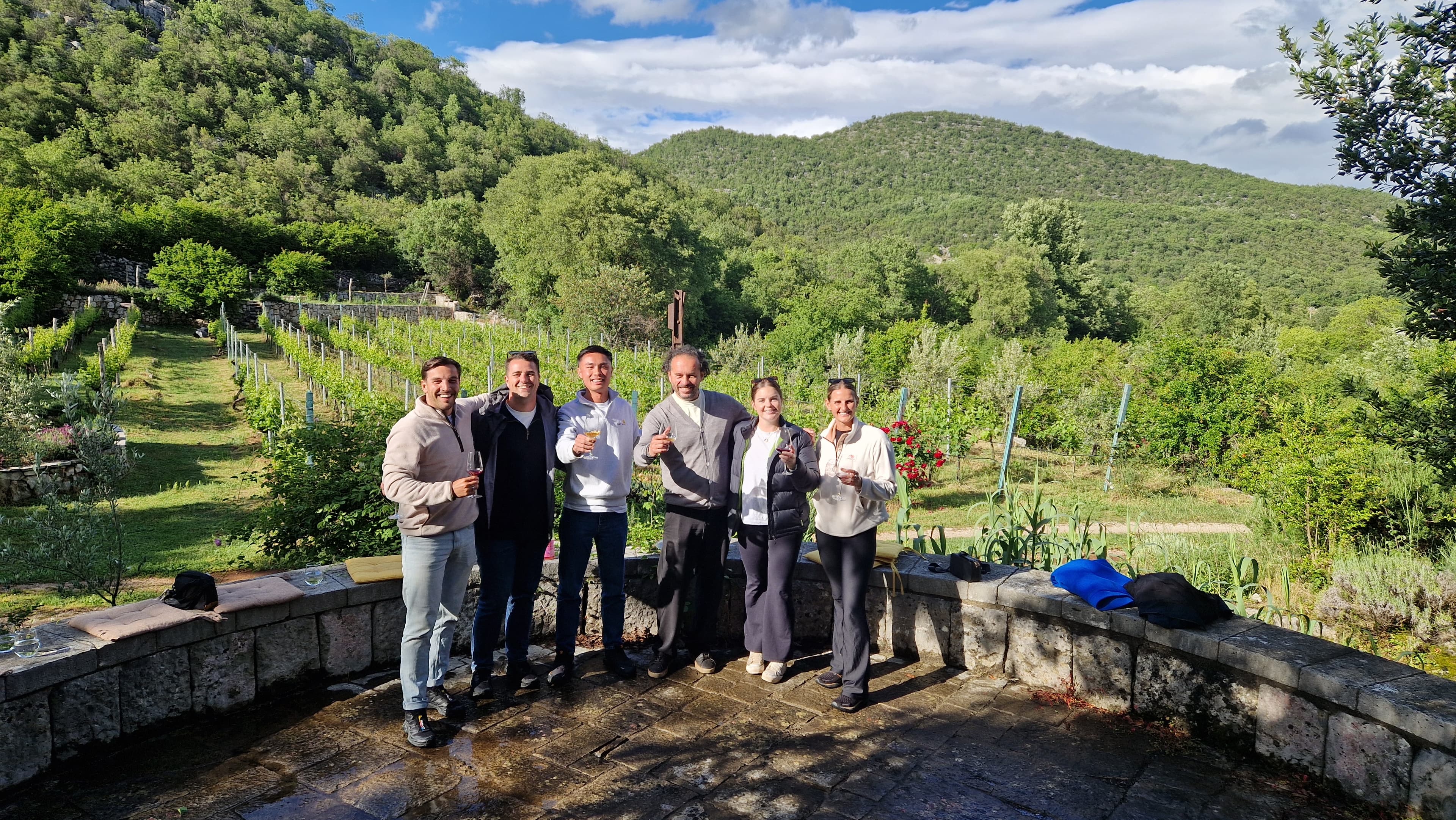
1 day · Multi-activity
from € 160,- / per person
Meet your guides
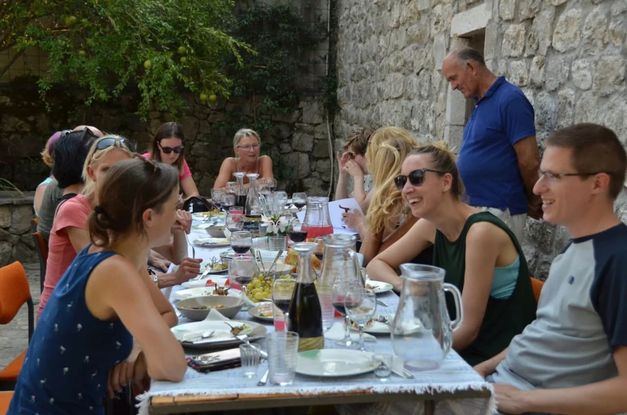
We live in Prokletije National Park. We walk these trails, ride these roads and eat in these konobas every week. When you book with us, you’ll usually speak directly to one of the people who’ll be guiding you.
Meet the whole team →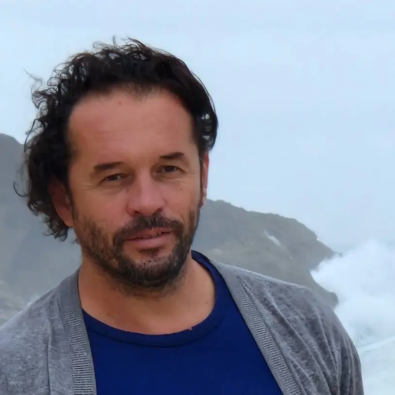
Management
Quality assurance, sales and communication.

Management
Product development, sustainability and marketing.
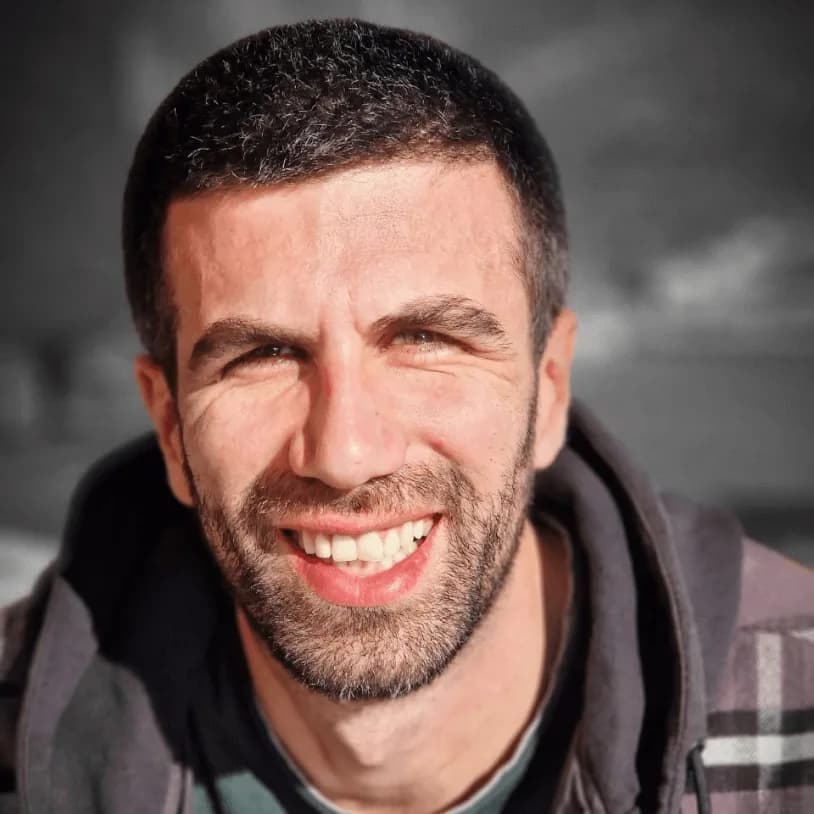
Tour operations manager
Backoffice — keeps every trip running smoothly on the ground.

Reservations & group tour operations
Backoffice — bookings, group logistics and guest care.
Tell us roughly when, who's travelling and what kind of pace you like. We'll send back a draft itinerary within 1–2 days, no payment until you're happy with the plan.
Plan your trip