

Cycling
Kotor Serpentine Road: Driving and Cycling the 25 Hairpins
ByThe 3E Travel team · · 8 min read
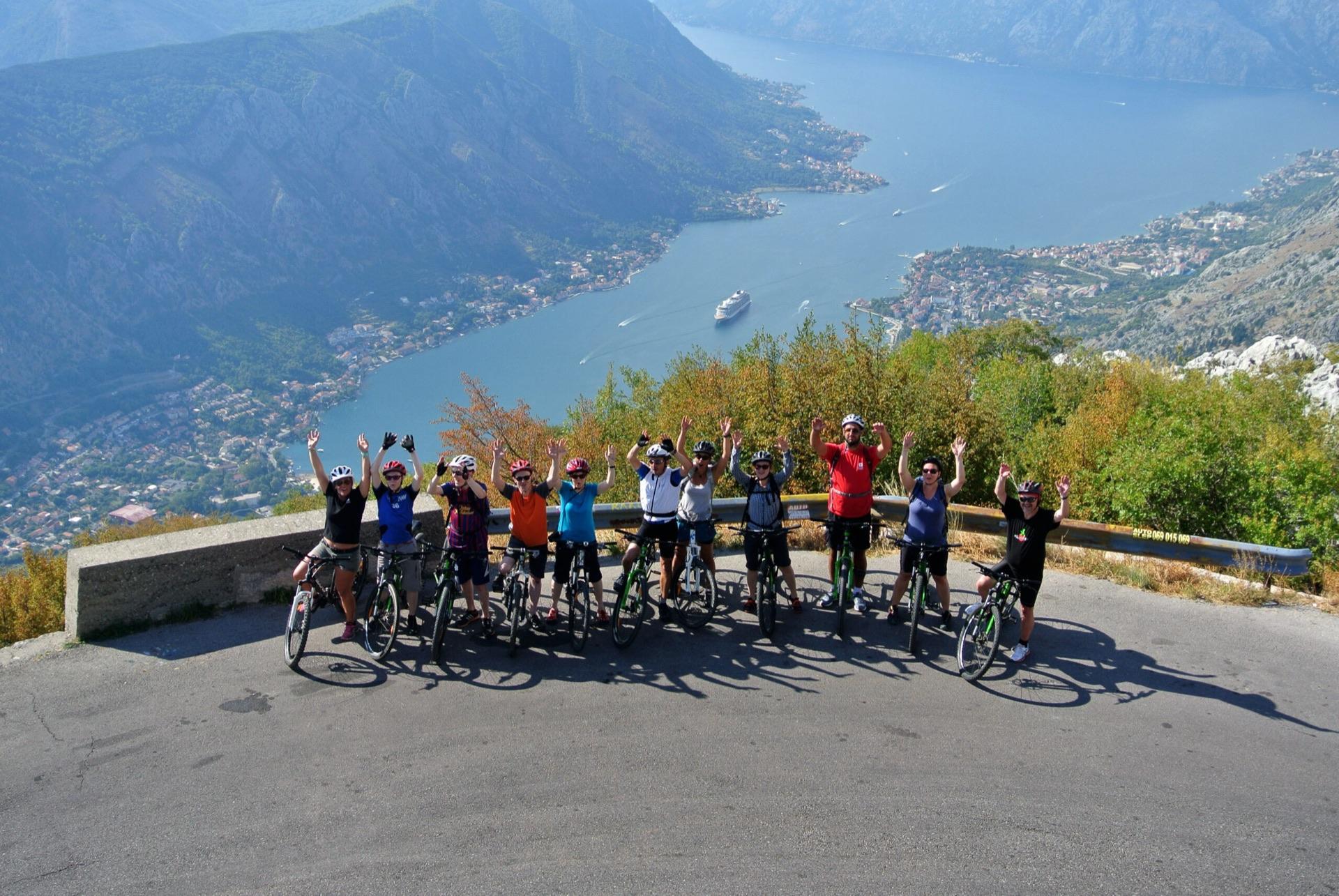
The Kotor Serpentine climbs 25 hairpins from the bay to Krstac. How to drive it, cycle it, park at the viewpoints and handle summer traffic.
The Kotor Serpentine road climbs from the Bay of Kotor to the Krstac pass, at about 960 m. It is part of road R-1, the old Kotor to Cetinje road. From Kotor to Krstac it runs about 20 to 23 km and gains about 950 m. Most of that comes on 25 tight hairpins. It suits confident drivers, motorcyclists, fit road cyclists and anyone who wants the classic view down over the bay.
Past Krstac, the road carries on to Njeguši, a village known for its ham and cheese. A side road climbs through Lovćen National Park and ends at the Njegoš Mausoleum on Jezerski vrh, 1,657 m up.
Kotor Serpentine road at a glance
| Fact | Detail |
|---|---|
| Road | R-1, the old Kotor to Cetinje road |
| Start and finish | Trojica junction above Kotor (near sea level) to the Krstac pass (about 960 m) |
| Length | About 20 to 23 km from Kotor to Krstac. The hairpin section itself is about 8 km |
| Height gain | About 950 m from Kotor to Krstac |
| Hairpins | 25, as commonly counted from the bay to the top |
| Gradient | Mostly a steady 4 to 6 percent |
| Surface and width | Asphalt all the way. About 5 m wide on the hairpins, with no centre line |
| Built | Completed in 1884, designed by engineer Josip Slade |
| Best months | May, June, September and October, when it is cooler and quieter |
| Time by car | About 1 hour from Kotor to Lovćen, plus photo stops |
| Time by bike | Climb to Krstac: about 1.5 to 2.5 hours for a fit rider. Descent from Lovćen to Kotor: more than 30 km, nearly all downhill |
A short history of the serpentine
Montenegro won recognition as an independent state at the Congress of Berlin in 1878. It then started building a road toward Kotor. The section from Cetinje to Krstac was built between 1879 and 1881. It is often called the oldest road for vehicles in Montenegro.
The famous climb down to Kotor came next. Engineer Josip Slade designed it, and it was completed in 1884 with its 25 bends. Kotor was then part of Austria-Hungary, which is why many guides call it the Austro-Hungarian road. Old photos show the hairpins cut into bare rock. Today the same bends wind through thick forest, but the line of the road has barely changed.
The route bend by bend
Kotor to the first hairpins
You leave the coast road at the Trojica junction, just above Kotor. The first stretch is a normal two-lane road with a centre line. It climbs at 4 to 6 percent into the trees.
The 25 hairpins
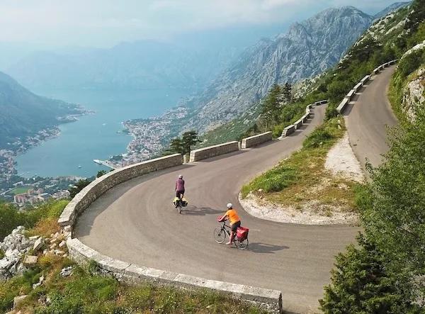
The real serpentine starts about 9 to 10 km out of Kotor. The road narrows to about 5 m and the bends stack up the slope, each one numbered. With every turn the view opens a little more. You see the old town, the fortress walls and the long arm of the bay toward Tivat.
Count carefully if you want to argue about it. Most sources, local signs and our own tour notes say 25 hairpins. Some cycling climb databases list 16 or 17. They count only the tightest bends on the main 8 km stretch.
Top of the hairpins to Krstac
The hairpins end at about 880 to 900 m, near the Nevjesta Jadrana restaurant. This is also where the Ladder of Kotor footpath meets the road. The road then rolls for about 2 km, past Konoba Krstac, to the Krstac junction.
Krstac to Njeguši and Lovćen
At Krstac you choose. Go straight for Njeguši, a few kilometres on, and then Cetinje. Turn south for the road through Lovćen National Park to the mausoleum. That last climb is the hardest part. One kilometre just after Krstac averages about 10 percent, and the final 2.5 km run at 7 to 9 percent.
Driving the Kotor Serpentine
The serpentine is about one and a half lanes wide. Two cars can pass with care. A car and a bus cannot, so someone has to stop or reverse to a wider spot. The walls on the outside of the bends are low, and in places there is no barrier at all.
How to handle passing and buses
Look ahead across the hairpins to see what is coming above you. If a bus or van is on its way down, wait at the nearest wide spot before the bend. If you meet it on the bend, the driver with the easier reverse should back up a few metres. Let the bus driver guide you. They do this every day.
In recent summers the police have banned buses, minibuses and campers from driving down the serpentine toward Kotor. Lorries over 7.5 tonnes are also banned in season. Some years have added time windows for each direction. The rules change each season, so check the current police notice before you go.
Parking at the viewpoints
There are three main viewpoints along the hairpins, roughly between km 15 and km 18 from Kotor. One spot often named as the best is near the 15th bend. Each pull-in takes only a few cars. Never stop on a bend or in the road for a photo. If a pull-in is full, drive on to the next one.
Which direction to drive
Going up from Kotor in the morning is the easiest plan. Traffic is lightest early. Coming down in the late afternoon, you face the view the whole way, but you also meet the most traffic. Use a low gear on the way down and let the engine do the braking.
Cycling the serpentine: up and down
Riding up
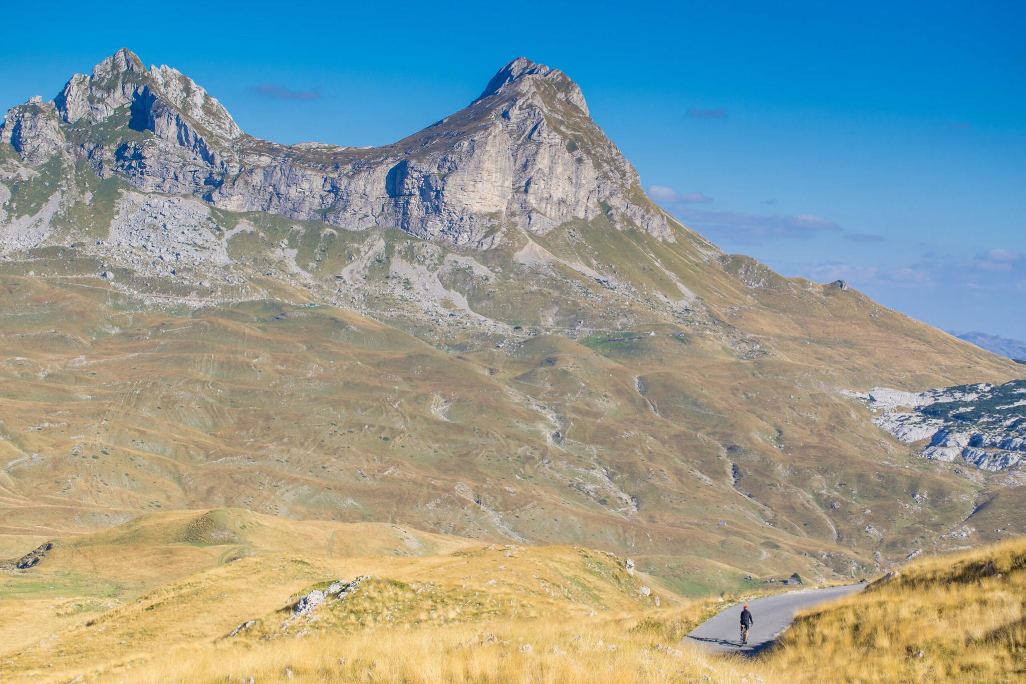
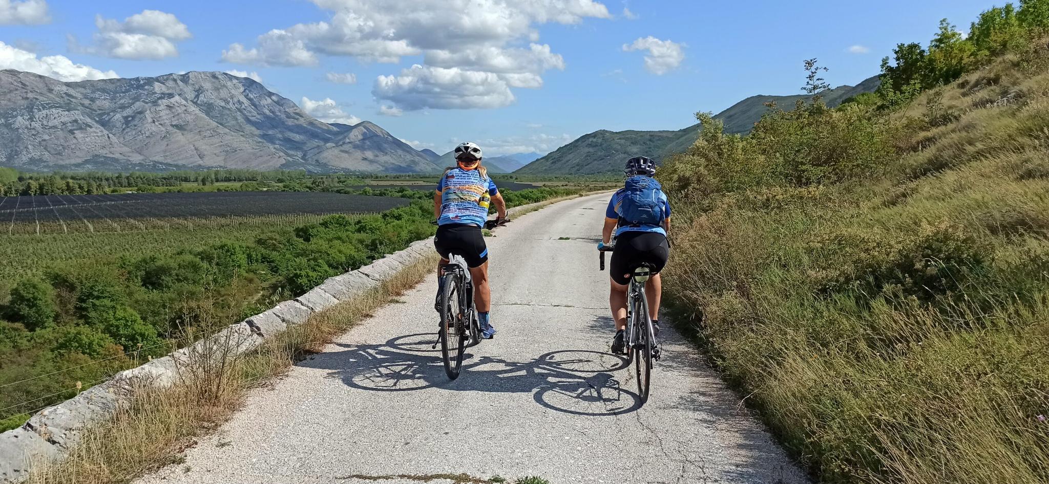
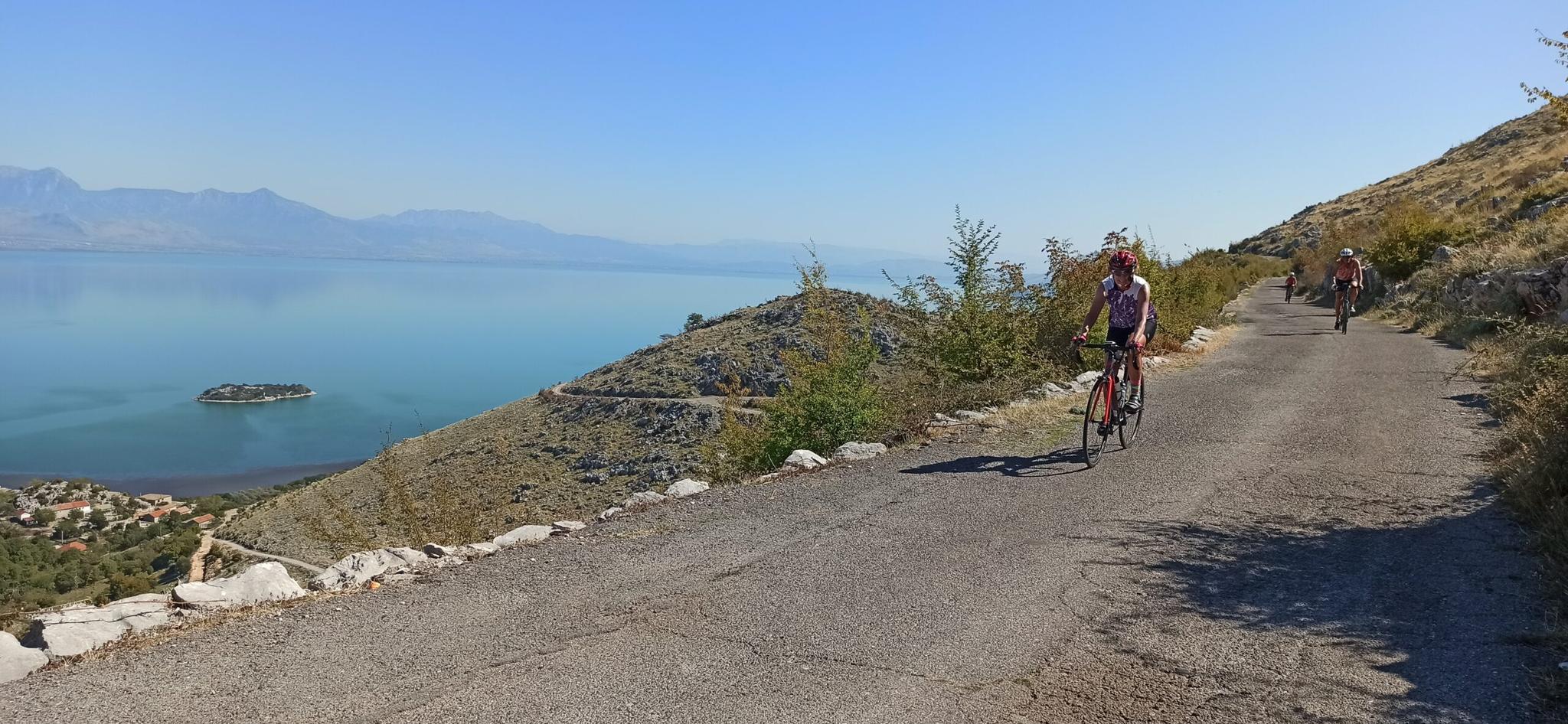
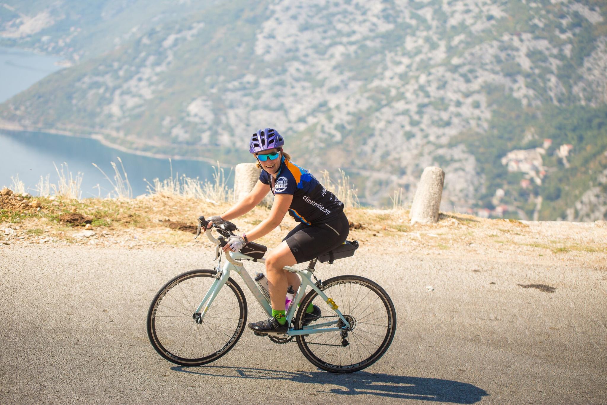
The climb is long and steady. At 4 to 6 percent most of the way, it rewards an even pace. Fill your bottles in Kotor, because there are no shops on the hairpins. Start before 8 am in summer. The heat on the bay side builds fast, and traffic grows through the morning.
Riding down
On our tours we ride the serpentine downhill, from Lovćen to the sea. It is one of the great descents in the Balkans, and we will be honest about the traffic. From June to September you will share the road with cars, vans and the odd bus coming up. Here is how to handle it:
Start early, ideally before 9 am. Ride in single file and keep to the right. Brake before each bend, never in it. When a car sits behind you, pull into the next wide spot and let it pass. Stop every few bends to cool your rims and take photos. Watch for loose stones after rain, and carry a light jacket. The top can be about 10°C cooler than the coast, and fog is common.
If you continue toward Cetinje, note the 490 m tunnel between Njeguši and Čekanje, opened in 2018. Use front and rear lights.
No bike? You can hire one from our bike rental in Kotor.
Njeguši, Lovćen and the mausoleum
Njeguši sits a few kilometres past Krstac. It is the home village of the Petrović-Njegoš family, who ruled Montenegro. It is best known for pršut, a dry-cured ham, and Njeguški sir, a firm local cheese. Our guide to the Njeguši ham and cheese stop says when to go and what to buy.
From Krstac, the park road climbs to a car park below Jezerski vrh. From there, 461 steps lead through a tunnel to the Njegoš Mausoleum. It honours Petar II Petrović-Njegoš, prince-bishop and poet, and opened in 1974. On a clear day you can see much of Montenegro from the top. You pay a small national park ticket and a separate mausoleum ticket.
Hiking: the Ladder of Kotor
Before the road, there was a mule track. The Ladder of Kotor is an old trade path from Kotor up toward Krstac. It has more than 70 zigzags. Traders carried goods up it to inner Montenegro. Walkers still use it today, and it meets the road near the top of the hairpins.
Many hikers walk up the Ladder and take a taxi or bus down the road. Our post on where the serpentine and the Ladder meet explains the links between the two. For a bigger day, see our Kotor to Lovćen day hike.
How 3E rides the serpentine
The serpentine descent is part of several of our cycling tours. On the EuroVelo 8 Odyssey, day 7 starts in Lovćen National Park. It ends at the walls of Kotor's old town. It covers 42 km, with 440 m up and 1,700 m down, and more than 30 km of downhill. Riders who want it can climb the last 200 m to the mausoleum first.
On Cycling highlights of Montenegro, day 6 starts in Cetinje. You climb into Lovćen and ride down the serpentine to the sea. The day is up to 50 km, with 850 m up and 1,500 m down. An optional shuttle to the top of the park saves you 17 km and 700 m of climbing.
Walkers can climb the Ladder of Kotor on our Bay of Kotor to Lake Skadar walking tour. Day 4 runs from Kotor to Njeguši: 6.5 km, with 1,130 m of ascent, in about 4 hours.
How many hairpins does the Kotor Serpentine have?
Most sources count 25 hairpins between the bay and the top of the climb. Some cycling databases list 16 or 17 because they count only the tightest bends.
Is the Kotor Serpentine road dangerous?
It is narrow and the barriers are low, but it is safe at a calm pace. Drive slowly, look ahead across the bends, and pull in to let buses pass.
How long does it take to drive the Kotor Serpentine?
Allow about an hour from Kotor to Lovćen National Park without stops. Add time for viewpoints, Njeguši and the mausoleum.
Can you cycle the Kotor Serpentine?
Yes. The climb from Kotor to Krstac gains about 950 m at a steady 4 to 6 percent. The descent is popular too. Start early in summer to avoid traffic.
Can buses drive the Kotor Serpentine?
Buses do drive it, mostly uphill. In recent summers the police have banned buses, minibuses and campers from driving down toward Kotor. Check the current rules before you travel.
Is the Ladder of Kotor the same as the serpentine road?
They are two separate routes. The Ladder of Kotor is an old footpath with more than 70 zigzags. It meets the road near the top of the hairpins.
Written by
The 3E Travel team