


Montenegro
8 days · Hiking
From the Bay of Kotor to Lake Skadar – Historical trade and military trails
▲▲▲▲▲Moderate
Walking · Hiking · Cycling · Montenegro
Walking, hiking and cycling holidays in Durmitor National Park, self-guided or with a local guide. Durmitor is a limestone massif in north-west Montenegro, 390 sq km of national park holding 18 glacial lakes, 48 peaks above 2,000 m and the Tara River Canyon cut 1,333 m deep. Established in 1952 and inscribed by UNESCO in 1980, it centres on the town of Žabljak at 1,456 m. The Black Lake, the Ice Cave at 2,180 m and Bobotov Kuk at 2,523 m draw walkers who want high country without long approaches.
Why Durmitor National Park
We've spent years walking, hiking and cycling across Durmitor National Park in every season. The trips below are built around the routes that work — the quiet ones, the beautiful ones, the ones with great food at the end of the day.
If none of them quite fit, get in touch. We'll happily build you a private version, shaped around your interests, fitness and pace.
How we travel here
Walking
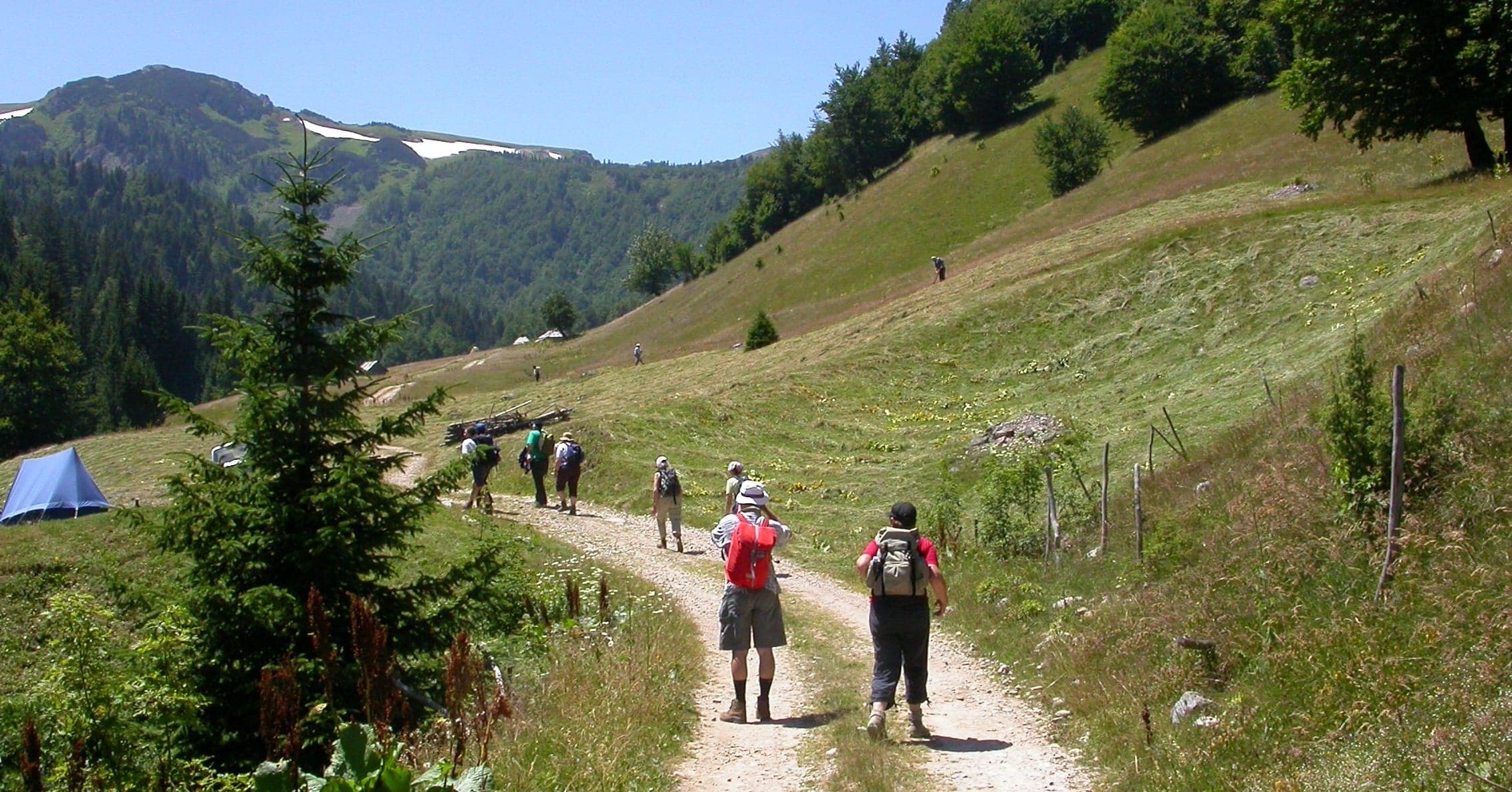
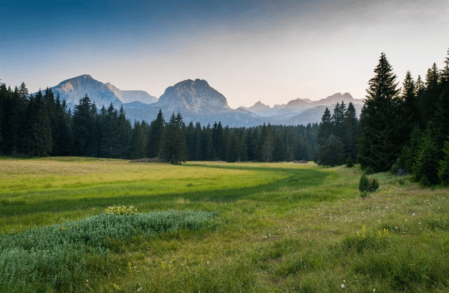
Coastal trails, village paths and slow days on foot, with time to stop.
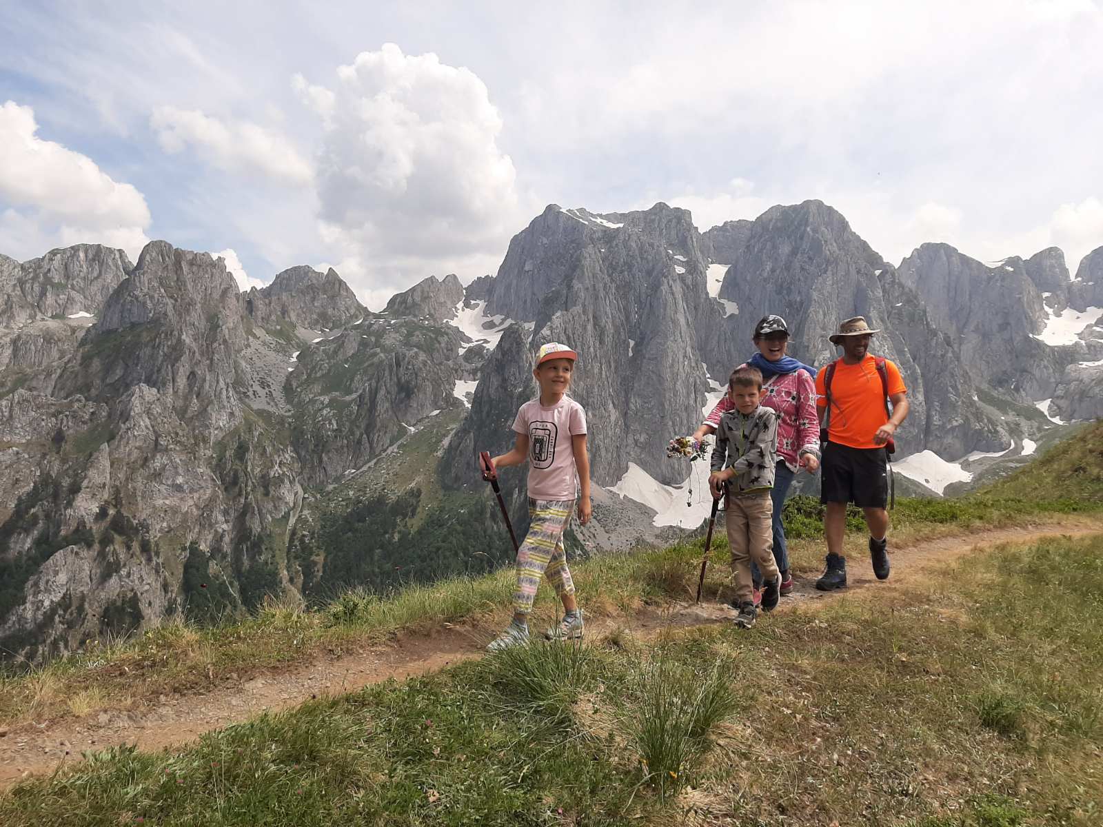
Hiking
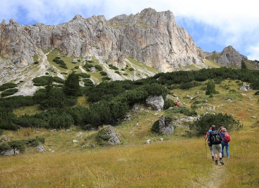
Mountain trails, hut-to-hut days and summit walks, graded honestly.
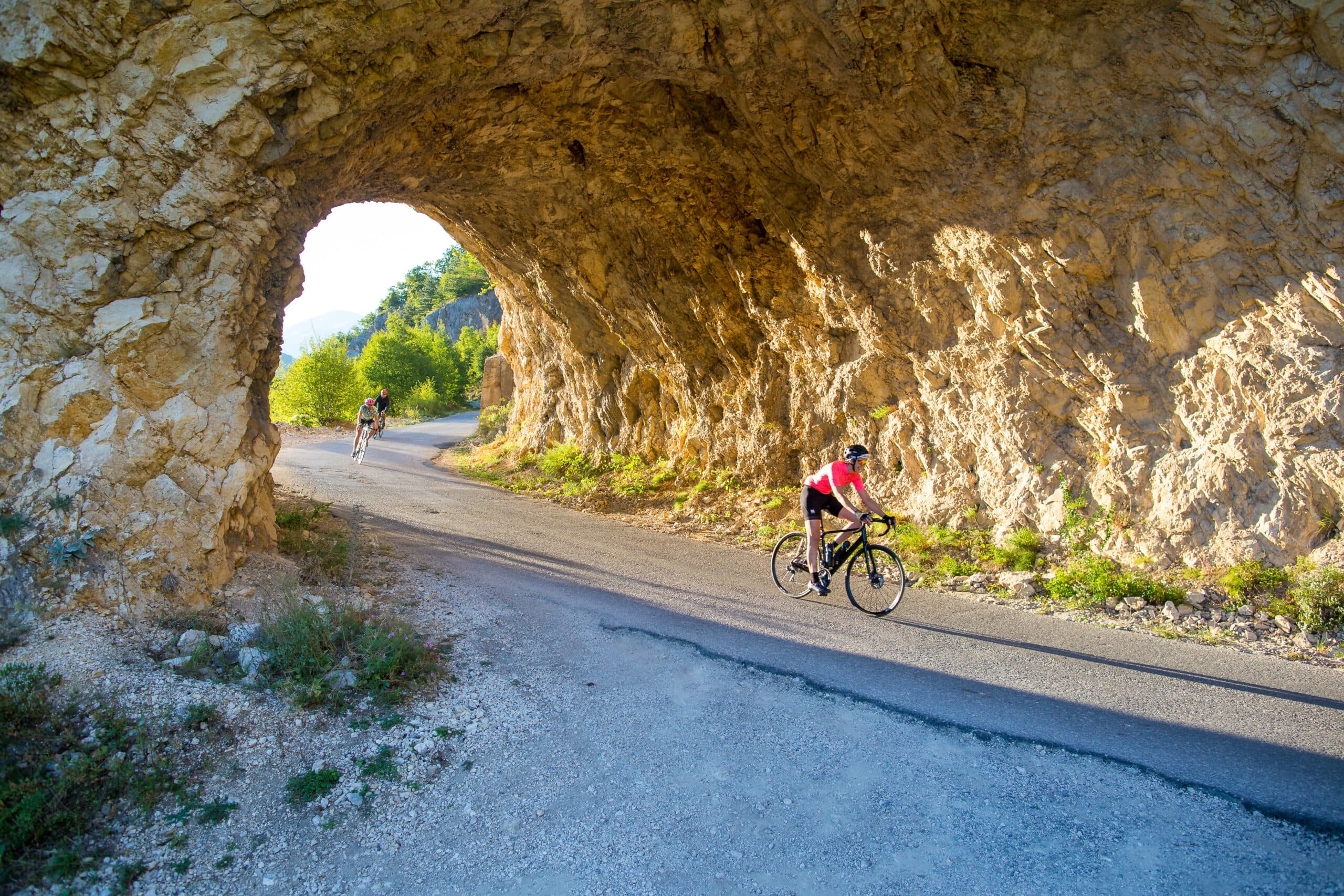
Cycling
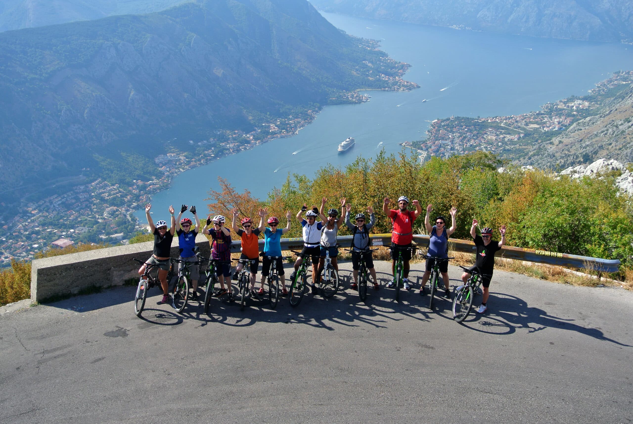
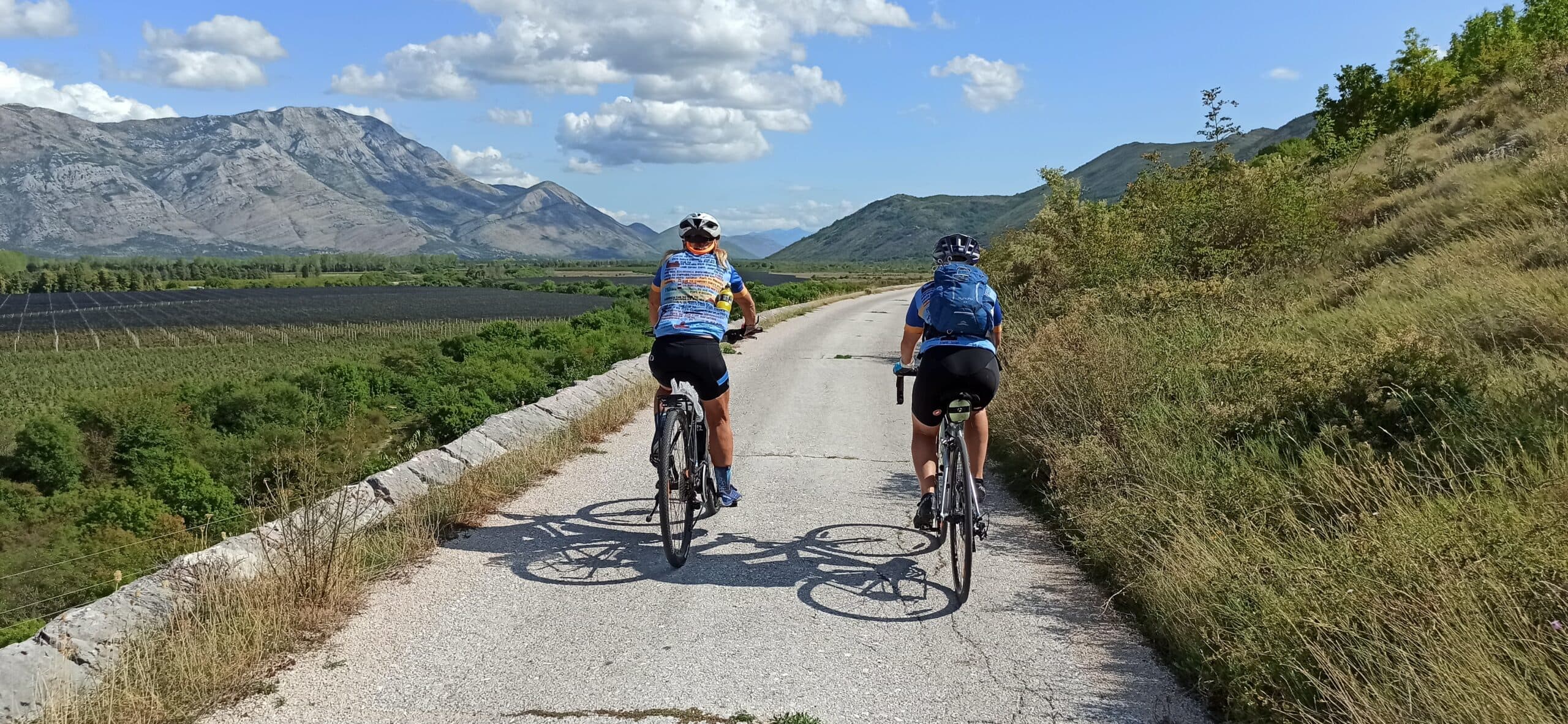
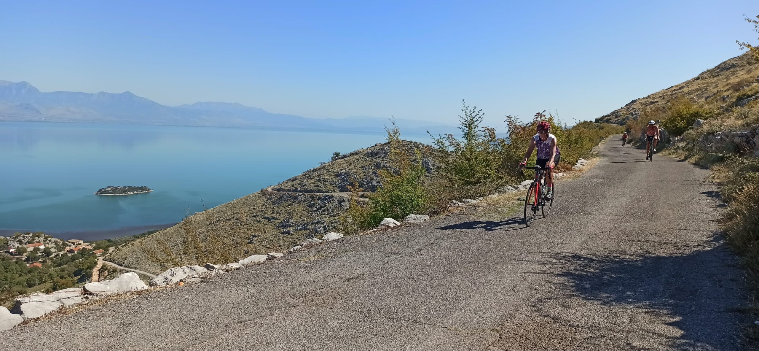
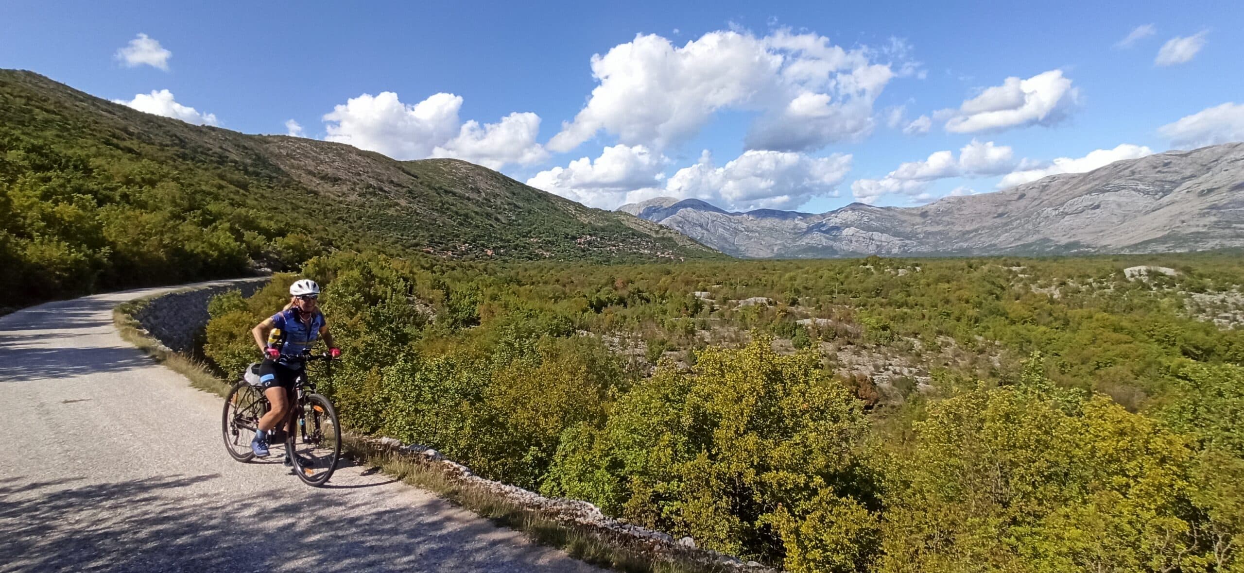
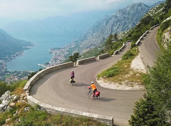
Quiet back roads and gravel routes — road, gravel and e-bike, with luggage moved between stays.
Travel guide
Durmitor National Park sits in north-western Montenegro, on the border with Bosnia and Herzegovina, governed by the municipalities of Žabljak, Plužine and Pljevlja. The Black Lake first received protected status in 1907; the national park was established in 1952 and the site was inscribed on the UNESCO World Heritage List in 1980, later listed under natural criteria (vii), (viii) and (x). The park covers roughly 390 sq km, while the World Heritage property spans 33,895 hectares taking in the massif and the Tara River Canyon. The wider Tara River Basin was designated a UNESCO Biosphere Reserve in 1976, covering 182,889 hectares. Elevations run from 450 m to more than 2,500 m. There are 181 named mountains, 48 above 2,000 m, topped by Bobotov Kuk at 2,523 m. Eighteen glacial lakes lie across the massif and plateau. Podgorica airport is about 75 km south by road; Žabljak is Montenegro's primary ski resort.
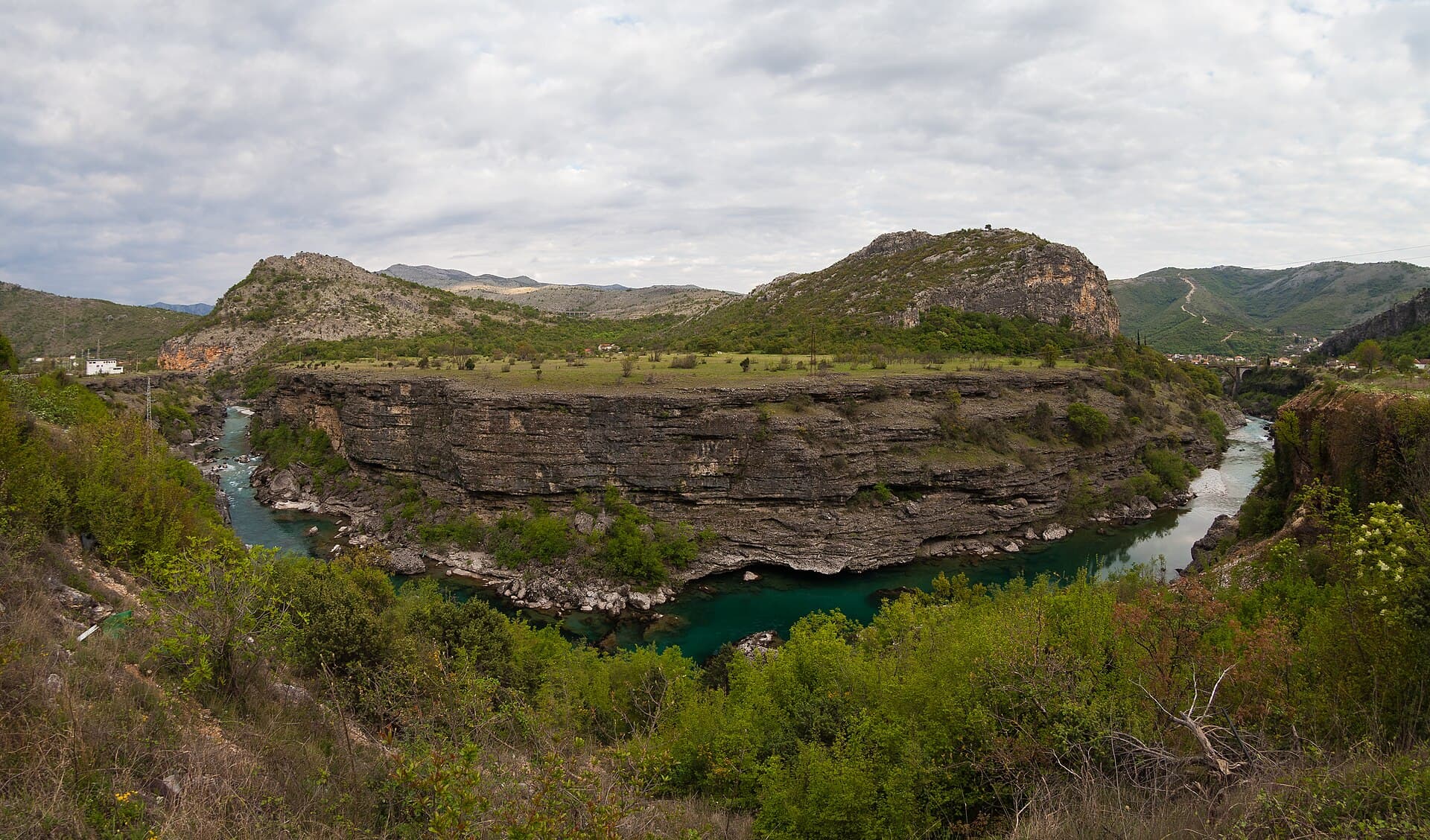
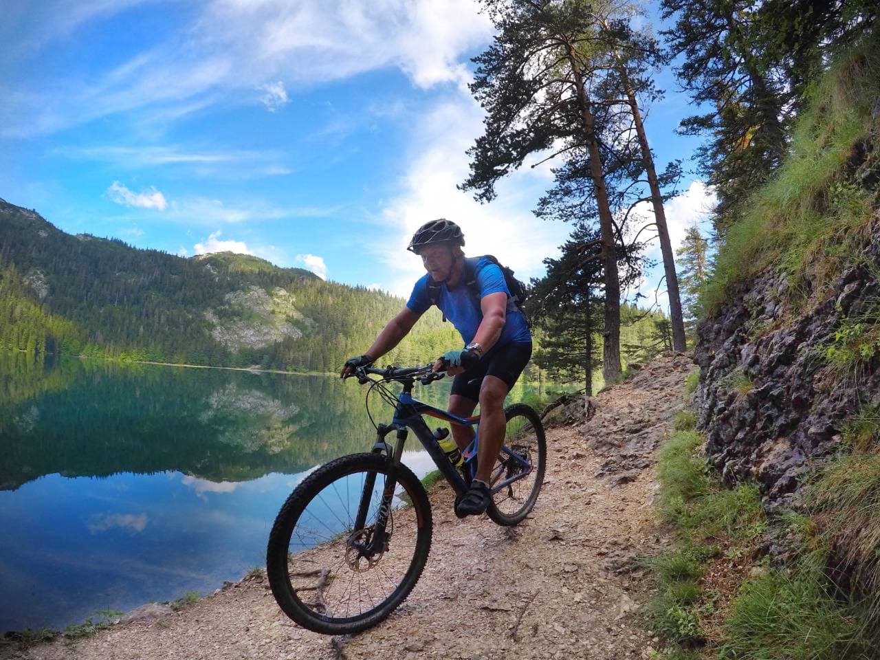
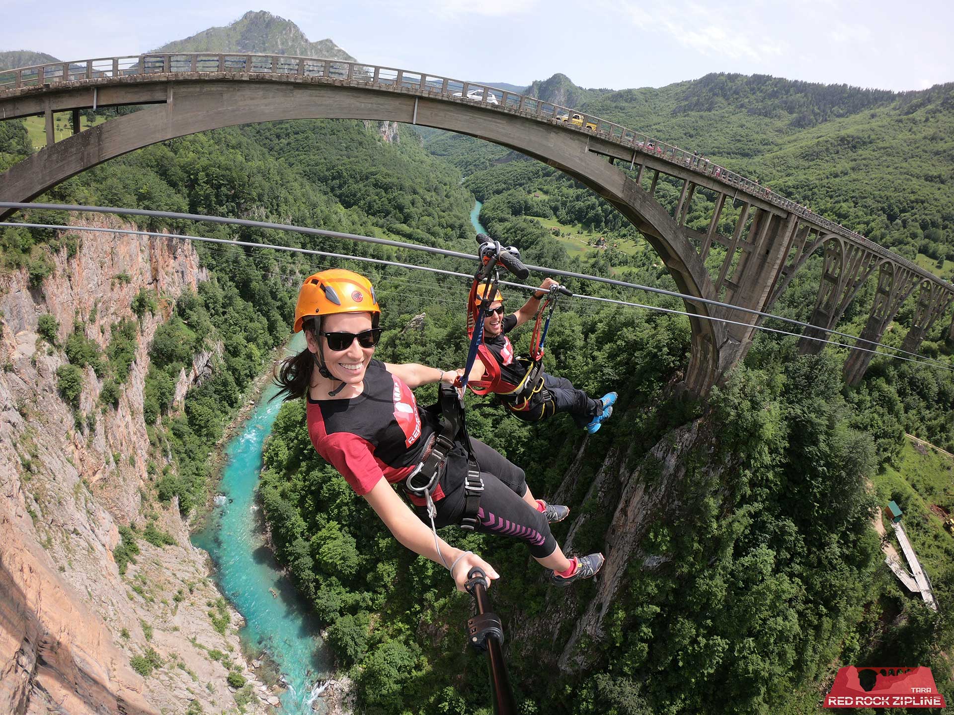
The Black Lake (Crno Jezero) sits at 1,416 m, its two basins covering 0.515 sq km; Little Lake reaches 49.1 m deep, Big Lake 24.5 m. It is the most accessible of the park's 18 glacial lakes and the usual first stop from Žabljak. Bobotov Kuk rises to 2,523 m, one of 48 named peaks above 2,000 m among 181 in total. The Tara River Canyon runs 82 km east to west, 60 km of it inside the park, cut to a maximum depth of 1,333 m through rock dating to the Triassic, Jurassic and Cretaceous. The Đurđevića Tara Bridge, built 1937–1940, spans 116 m at its widest arch and stands 172 m above the water; it was the tallest concrete automobile arch bridge in Europe on completion. The Ice Cave (Ledena pećina) opens at around 2,160–2,180 m beneath Obla Glava (2,303 m), a cold-trap cave holding ice year-round.
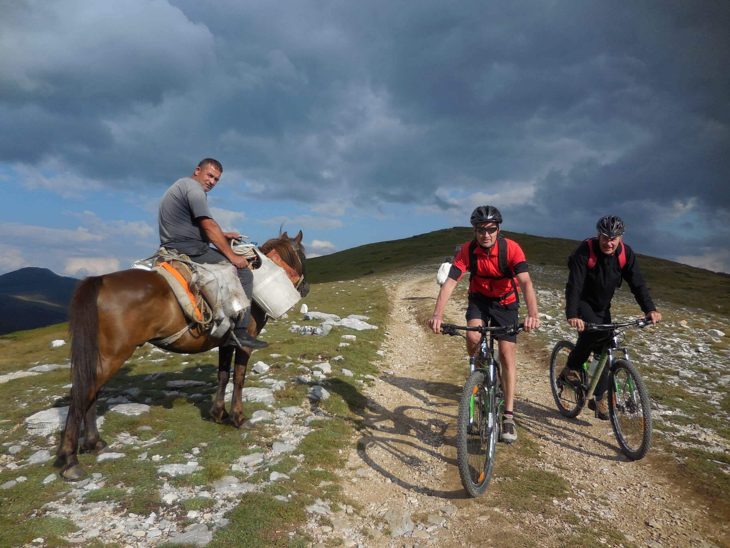
The Black Lake loop is the standard introduction: 3.4 km, largely level around the shore at about 1,416 m, taking 1 to 1.5 hours from the park entrance near Žabljak. Longer days climb from the lakes towards Bobotov Kuk at 2,523 m, with the Ice Cave below Obla Glava a further high objective near 2,160 m. Three canyons ring the massif — Tara, Draga and Sušica — giving lower, sheltered walking when the tops are exposed. The Obla Glava north face rises about 250 m for climbers. Distances between trailheads are short by mountain standards, since Žabljak sits high at 1,456 m and roads reach much of the plateau.
Durmitor is remote, and a car or bus is the main way in. From Podgorica the road distance to Žabljak is about 75 km; driving takes roughly 2 hours 15 minutes, and the bus about 2 hours 24 minutes. Podgorica (TGD) and Tivat (TIV) are the nearest international airports, both connected to Žabljak by road and bus. Sarajevo lies about 80 km to the north-west. Žabljak is the primary base town and holds the visitor centre. From there the park entrance, Black Lake and the plateau roads are within a short drive. The Đurđevića Tara Bridge on the canyon's northern edge is a common approach point when arriving from the Pljevlja side.
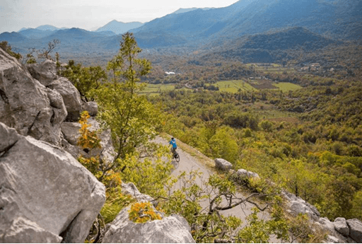
The park is accessible year-round, with the heaviest crowds in summer. Entry via the official Žabljak-road entrance, where the visitor centre stands, is commonly reported at €3 per person. Other 2025 accounts cite €5, and one August 2025 visitor reported €10 per person for Black Lake access plus €3 per hour for parking; prices vary by entrance and year, so confirm on-site for 2026. Summer gives the widest access to high routes and the Ice Cave, which depends on snow-free approaches above 2,000 m. Žabljak is Montenegro's primary ski resort, so winter turns the plateau over to snow sports. Spring and autumn bring quieter trails but variable weather at altitude, where elevations reach beyond 2,500 m.
Our journeys
21 journeys planned by our team in Podgorica — from gentle coastal weeks to high-mountain crossings.
Build your own trip →8 days · Hiking
7 days · Hiking
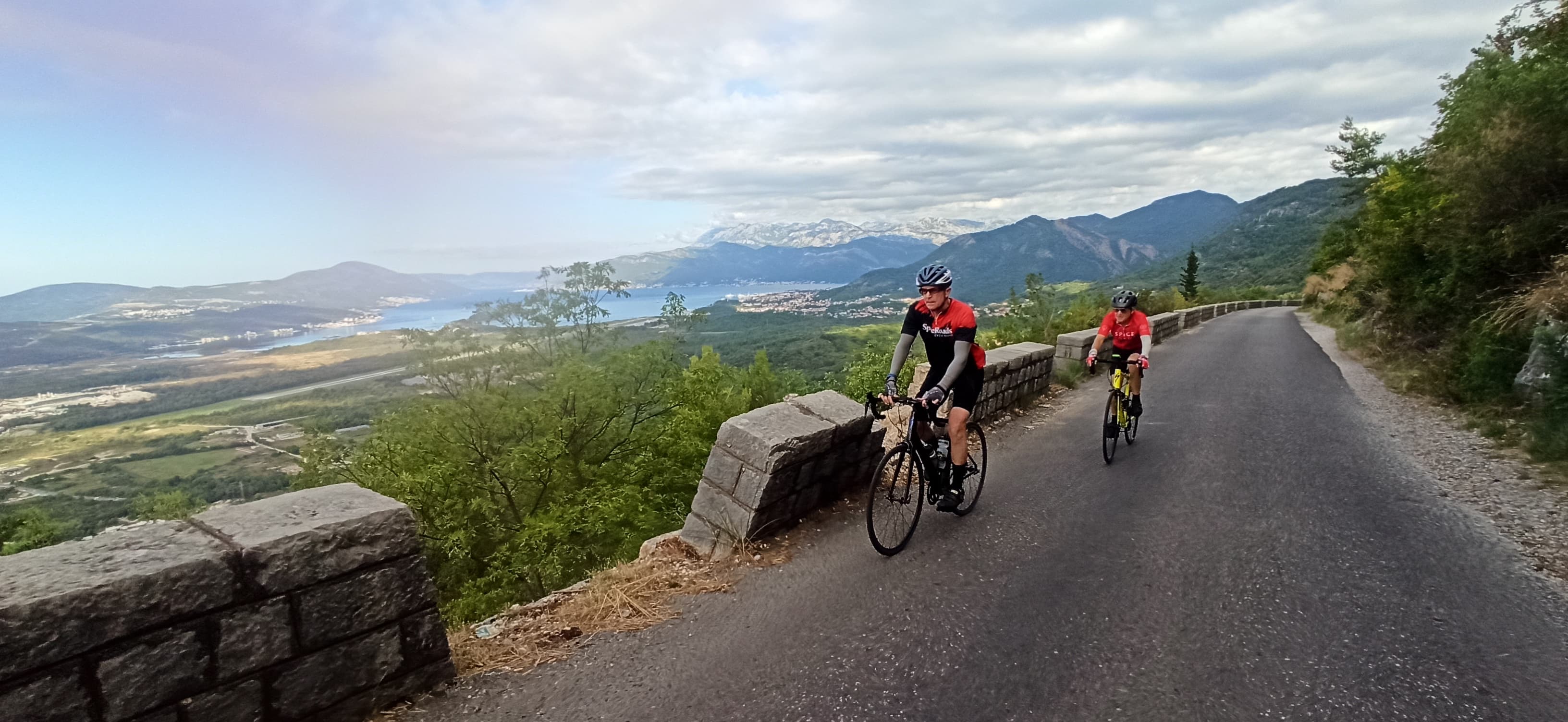
8 days · Cycling
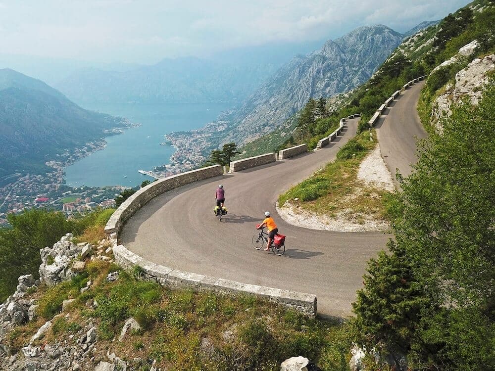
7 days · Cycling
8 days · Cycling
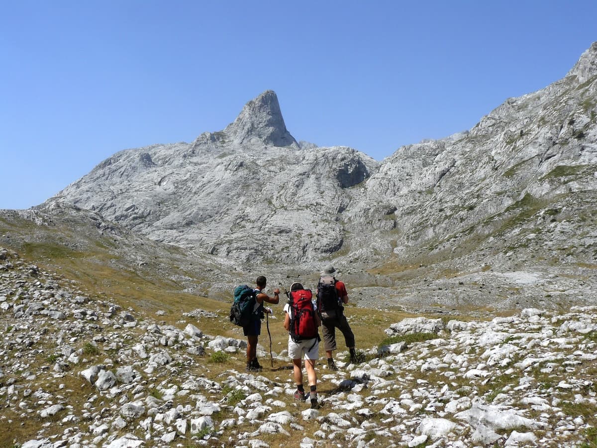
8 days · Hiking
8 days · Cycling
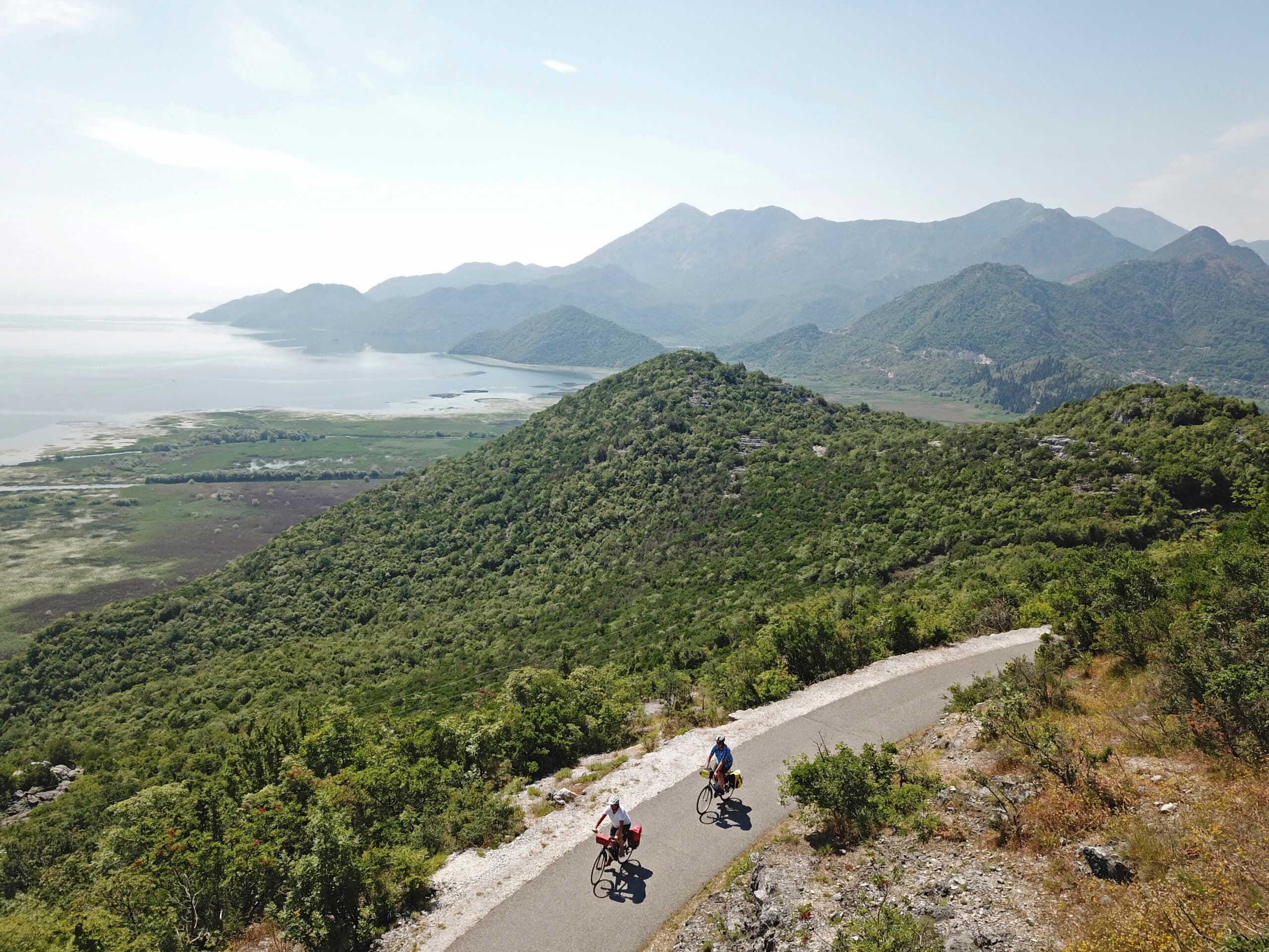
7 days · Cycling
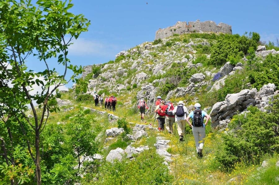
7 days · Hiking
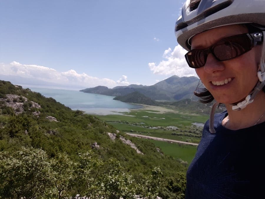
1 day · Cycling
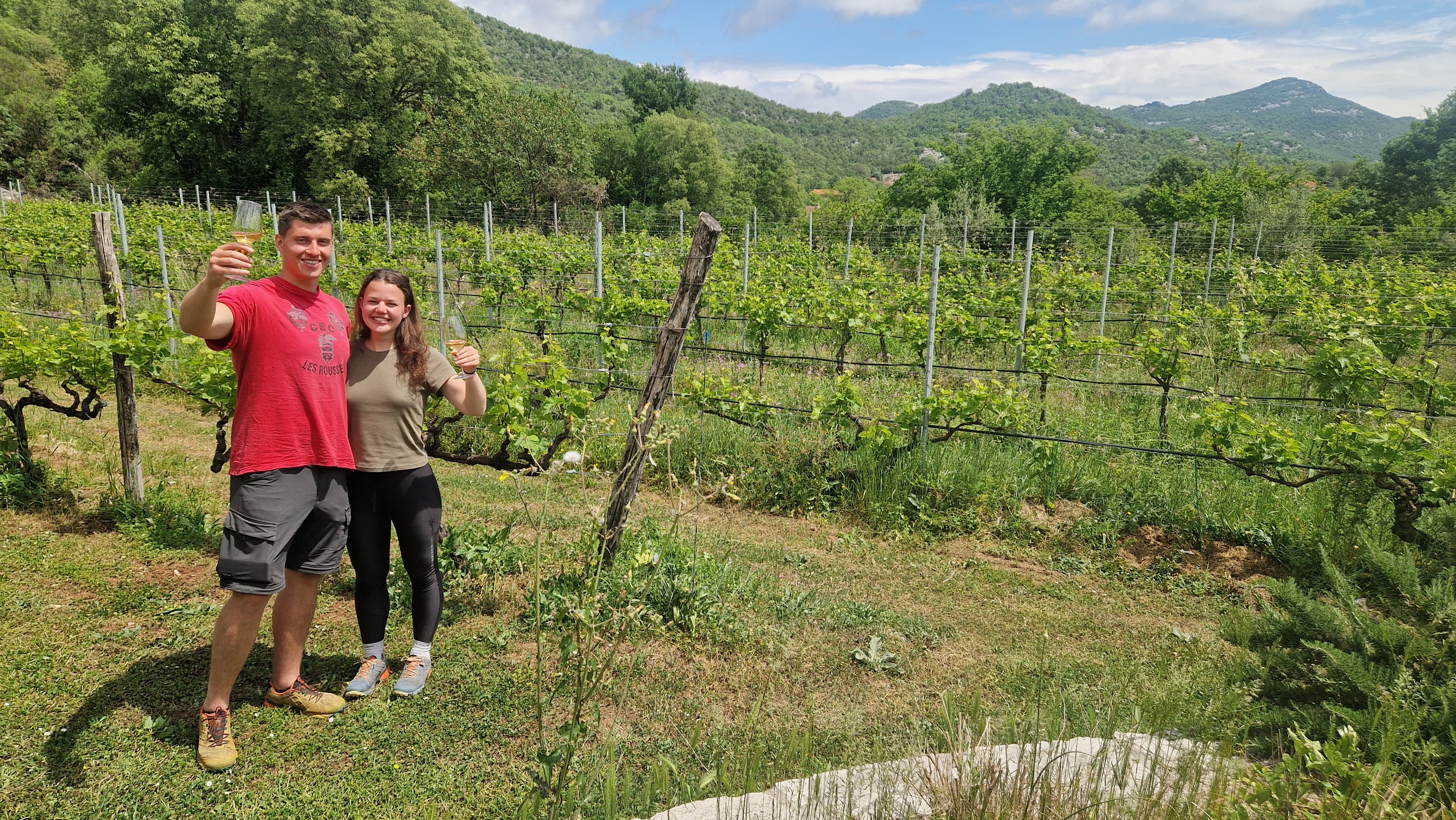
1 day · Cycling
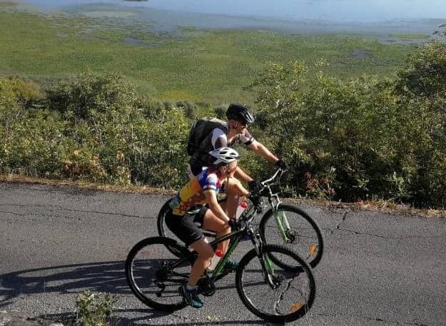
1 day · Cycling
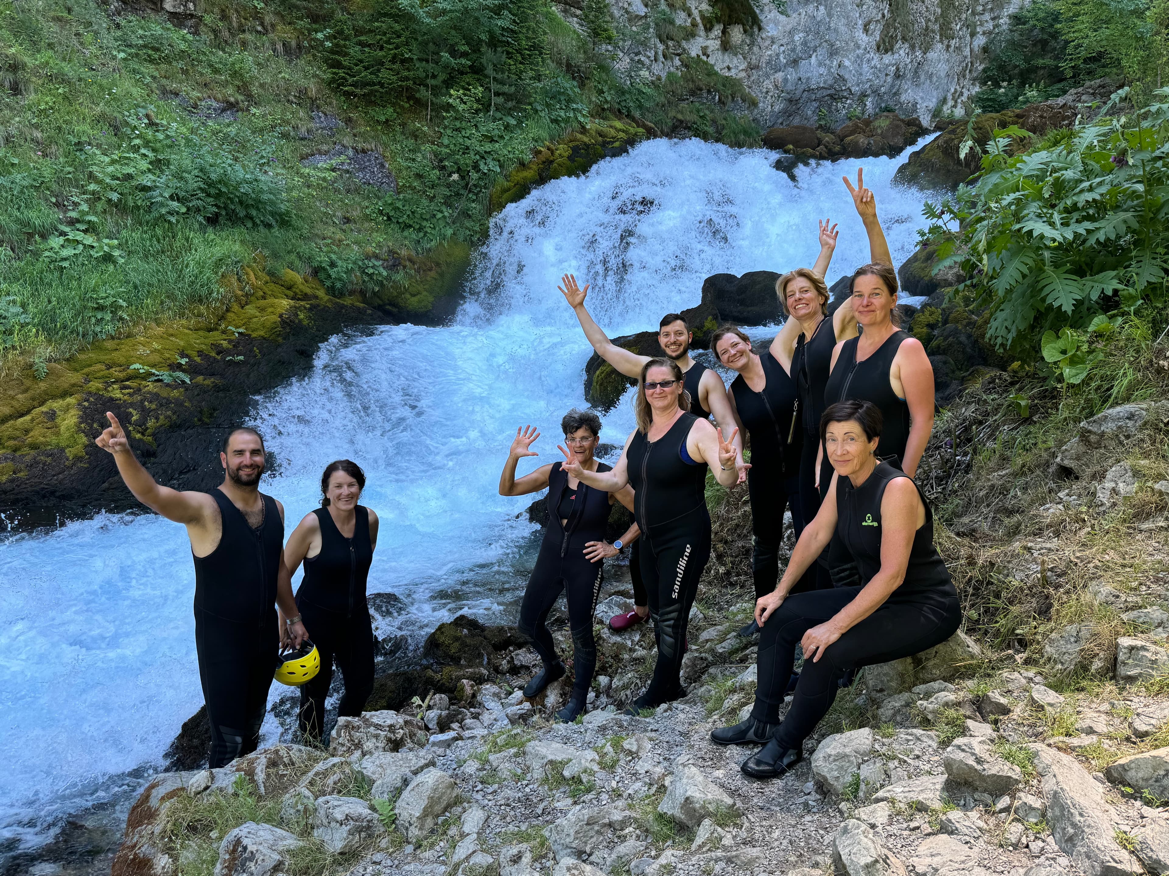
9 days · Cycling
8 days · Cycling
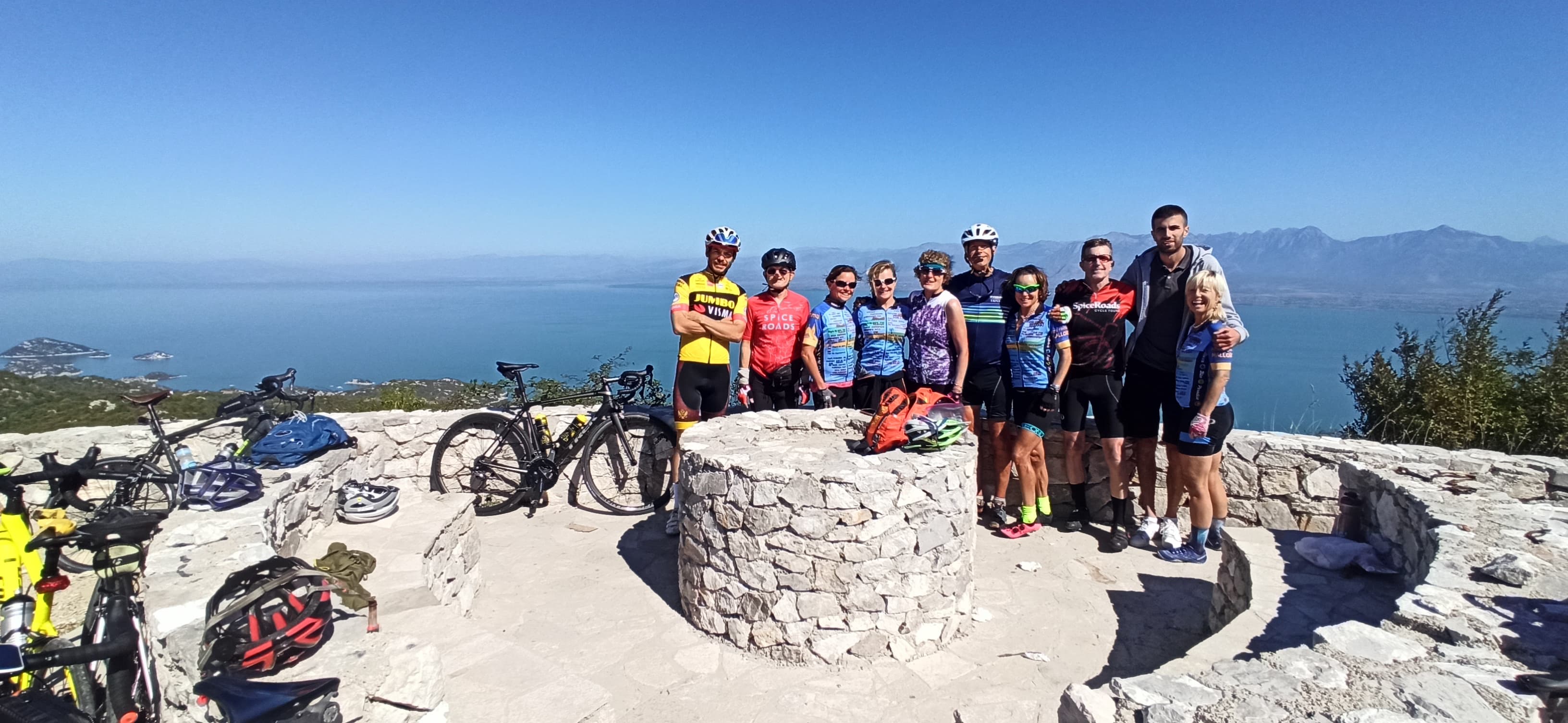
7 days · Cycling
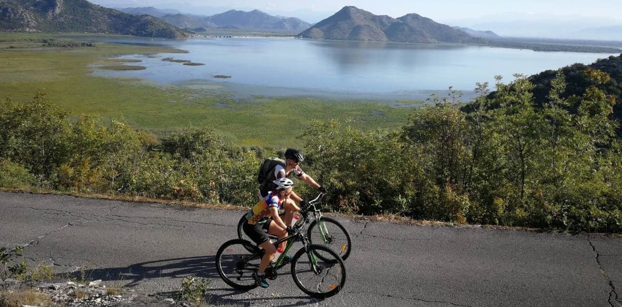
7 days · Cycling
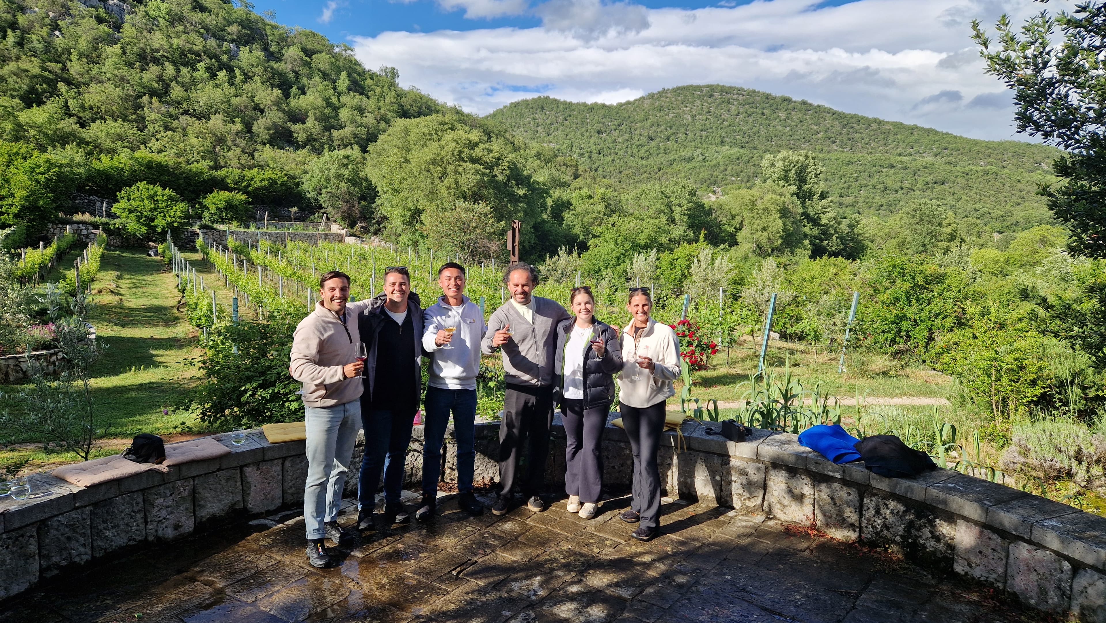
1 day · Multi-activity
from € 160,- / per person
Meet your guides
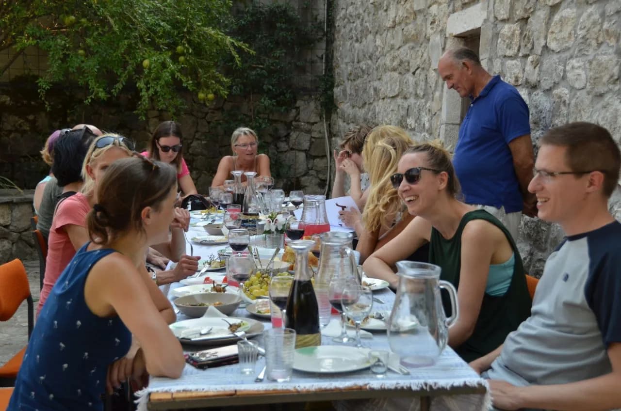
We live in Durmitor National Park. We walk these trails, ride these roads and eat in these konobas every week. When you book with us, you’ll usually speak directly to one of the people who’ll be guiding you.
Meet the whole team →
Management
Quality assurance, sales and communication.

Management
Product development, sustainability and marketing.

Tour operations manager
Backoffice — keeps every trip running smoothly on the ground.

Reservations & group tour operations
Backoffice — bookings, group logistics and guest care.
Tell us roughly when, who's travelling and what kind of pace you like. We'll send back a draft itinerary within 1–2 days, no payment until you're happy with the plan.
Plan your trip