


AlbaniaCroatiaMontenegroBosnia and Herzegovina
8 days · Cycling
Road cycling adventure - Bosnia, Croatia, Montenegro and Albania
▲▲▲▲▲Moderate
Walking · Hiking · Cycling · Bosnia and Herzegovina
Walking, hiking and cycling holidays in Bosnia & Herzegovina, self-guided or with a local guide. Bosnia and Herzegovina packs the highest reaches of the Dinaric Alps, a 300-year-old primeval forest and a 24 km Adriatic coastline into 51,209 km². The country's oldest national park, Sutjeska, established 1962, holds the summit of Maglić at 2,386 m, the untouched Perućica reserve and a 75 m waterfall. Add the memorial to a 1943 battle and a lake shaped like a heart at 1,517 m, and the case for the journey is straightforward.
Why Bosnia & Herzegovina
We've spent years walking, hiking and cycling across Bosnia & Herzegovina in every season. The trips below are built around the routes that work — the quiet ones, the beautiful ones, the ones with great food at the end of the day.
If none of them quite fit, get in touch. We'll happily build you a private version, shaped around your interests, fitness and pace.
How we travel here
Walking
Coastal trails, village paths and slow days on foot, with time to stop.
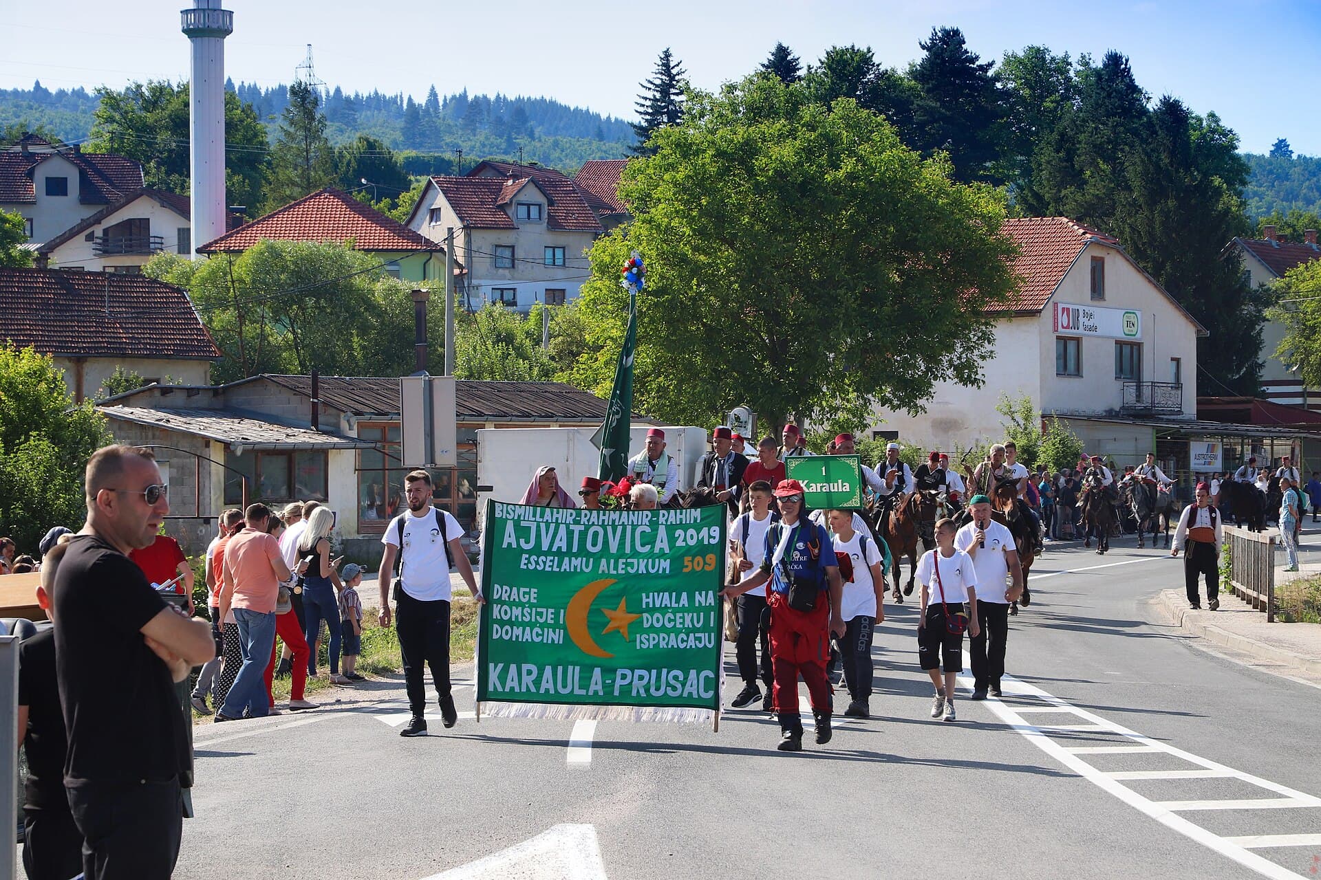
Hiking
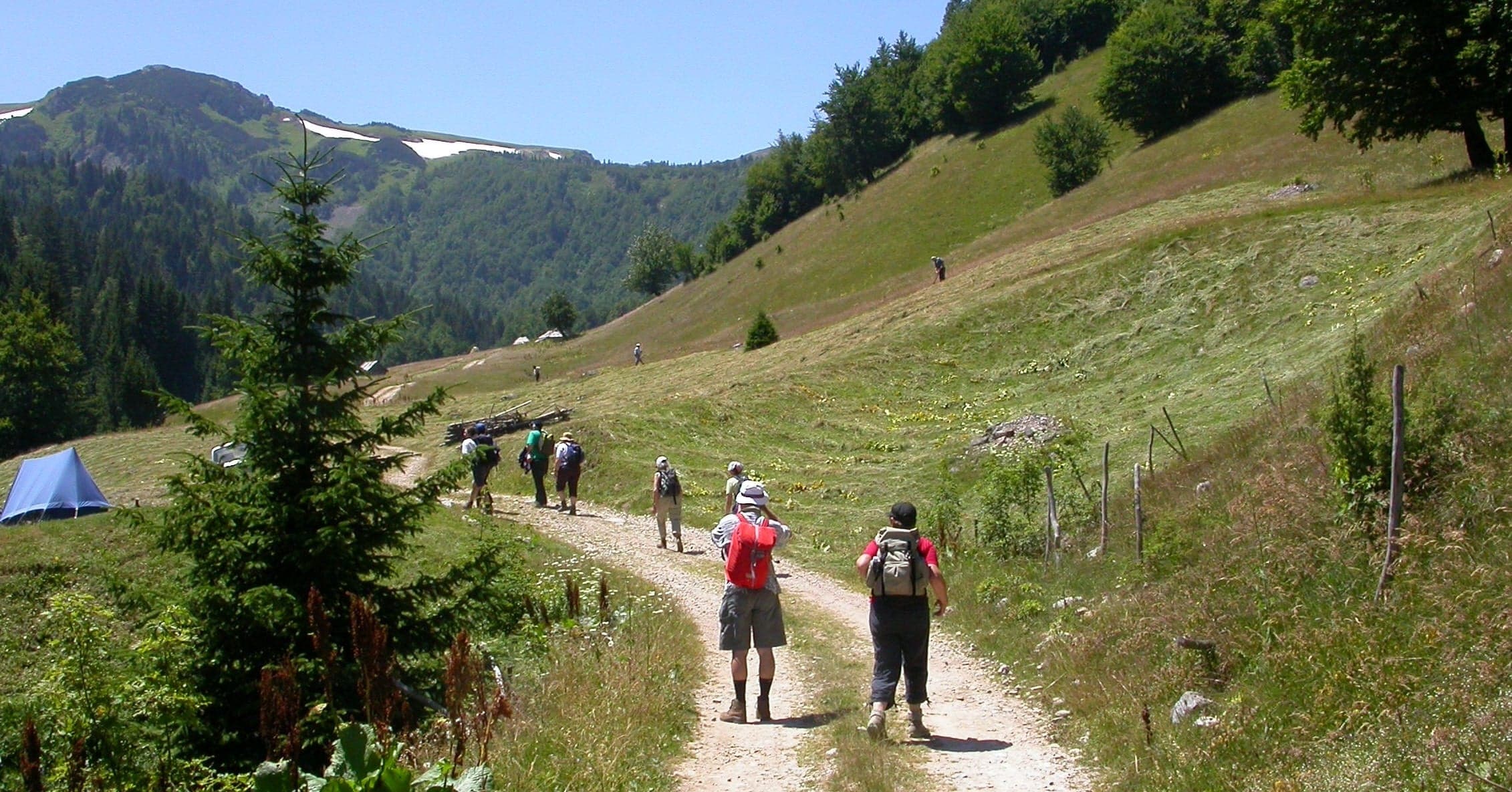
Mountain trails, hut-to-hut days and summit walks, graded honestly.
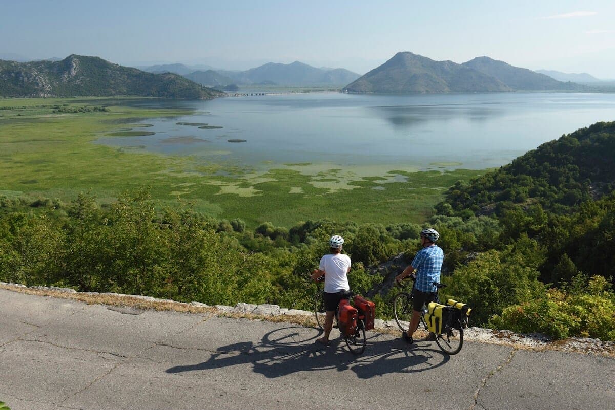
Cycling
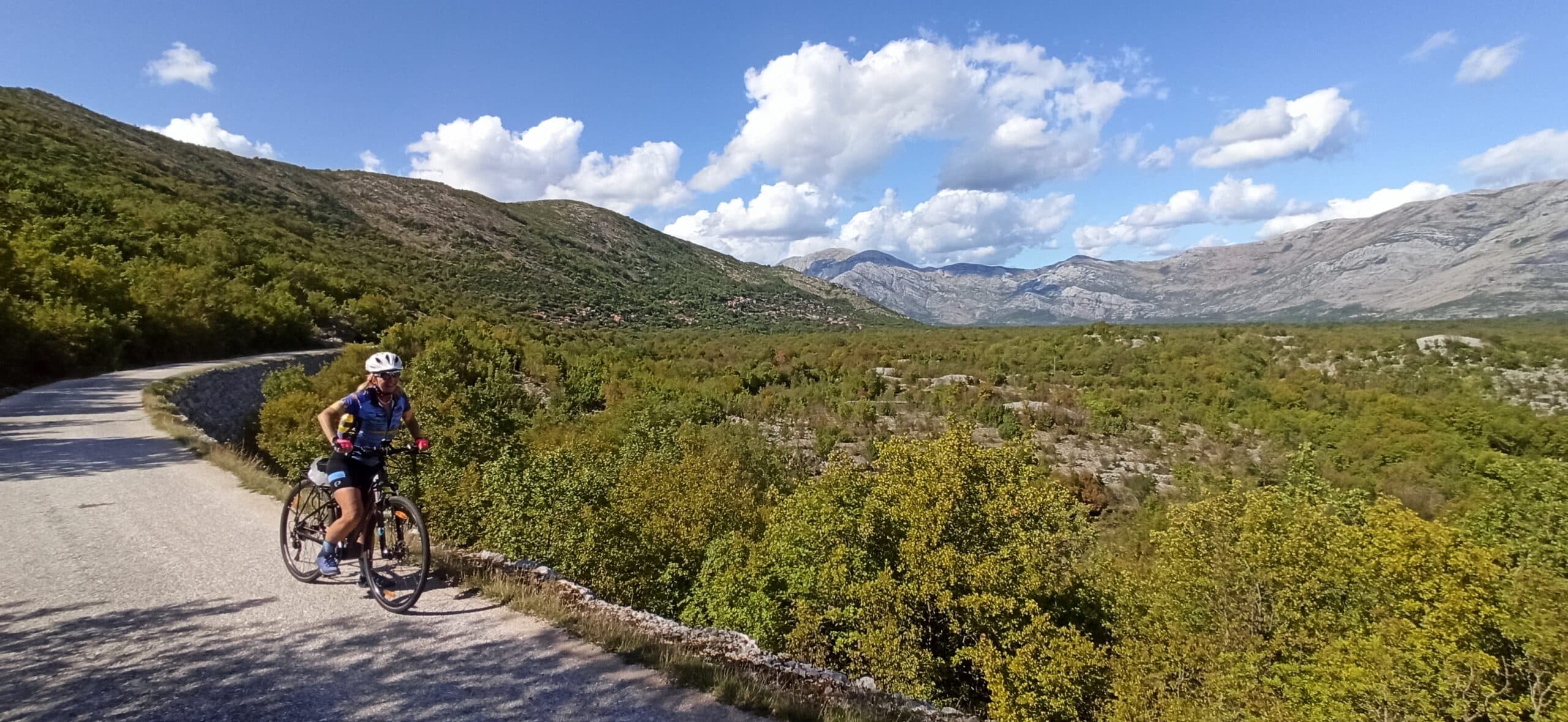
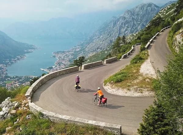
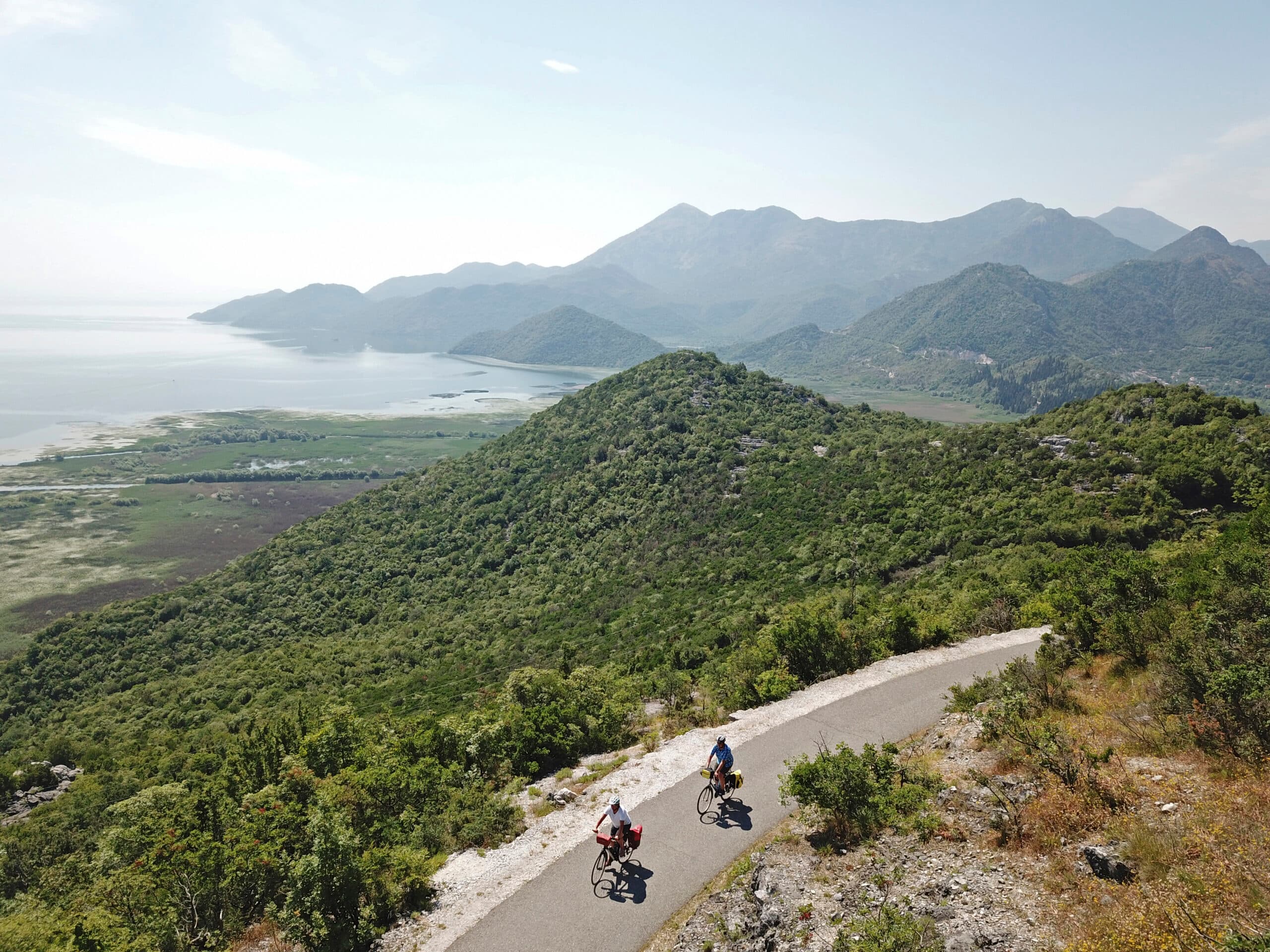
Quiet back roads and gravel routes — road, gravel and e-bike, with luggage moved between stays.
Travel guide
Bosnia and Herzegovina covers 51,209 km² and shares 1,538 km of land border with Croatia to the west and north, Serbia to the east and Montenegro to the southeast, plus a 24 km Adriatic coastline at Neum. The state took shape through an independence referendum on 1 March 1992, a declaration on 3 March 1992 and UN membership on 22 May 1992; the 1995 Dayton Agreement set the current constitution and its two entities, the Federation of Bosnia and Herzegovina and Republika Srpska. Its high ground is karst limestone Dinaric Alps, topping out at Maglić (2,386 m) on the Montenegrin border. Sutjeska National Park, established in 1962 and covering 160.52 km² (16,052.34 ha), is the country's oldest and largest park. It sits 100 km southeast of Sarajevo and 20 km south of Foča, bordered by the Piva, Drina and upper Neretva rivers and overlooked by Maglić, Volujak, Bioč and Vučev.
Sutjeska National Park protects 160.52 km² (16,052.34 ha), of which more than 66% is tree cover, fields and pasture. Its centrepiece is Perućica, a 1,434-hectare virgin forest reserve that has never been logged, with trees over 300 years old reaching 60 m in height. Within it, the Skakavac waterfall on Perućica Creek falls 75 m. The park is overlooked by four peaks — Maglić (2,386 m), Volujak, Bioč and Vučev — and bordered by the Piva, Drina and upper Neretva rivers. Trnovačko Lake, reached on foot from the massif, sits at 1,517 m, measures roughly 700 m by 400 m, reaches 9 m deep and is known for its heart-like shape; it lies on the Montenegrin side of the range. At Tjentište stands the spomenik commemorating the Battle of Sutjeska, fought 15 May–16 June 1943, a monumental concrete memorial to those who fell there.
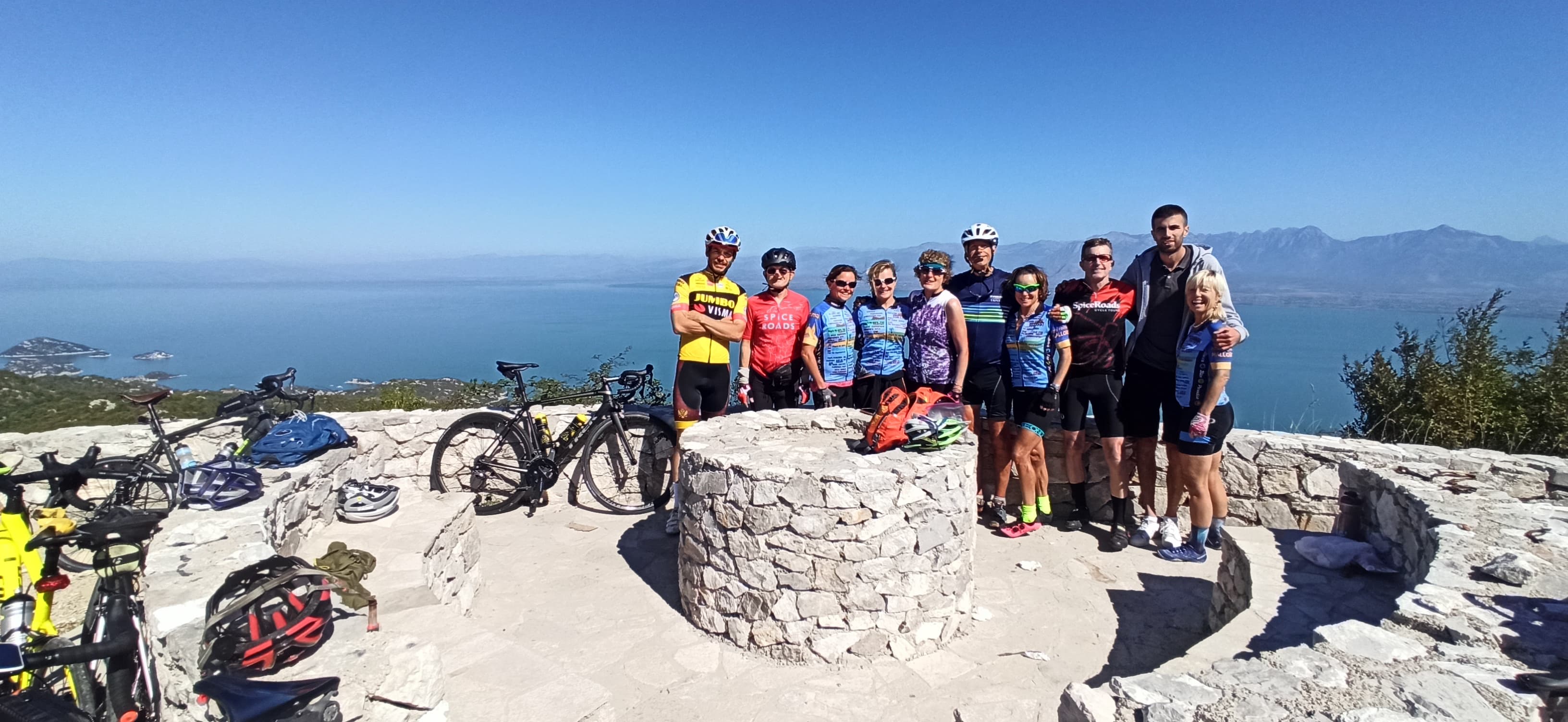
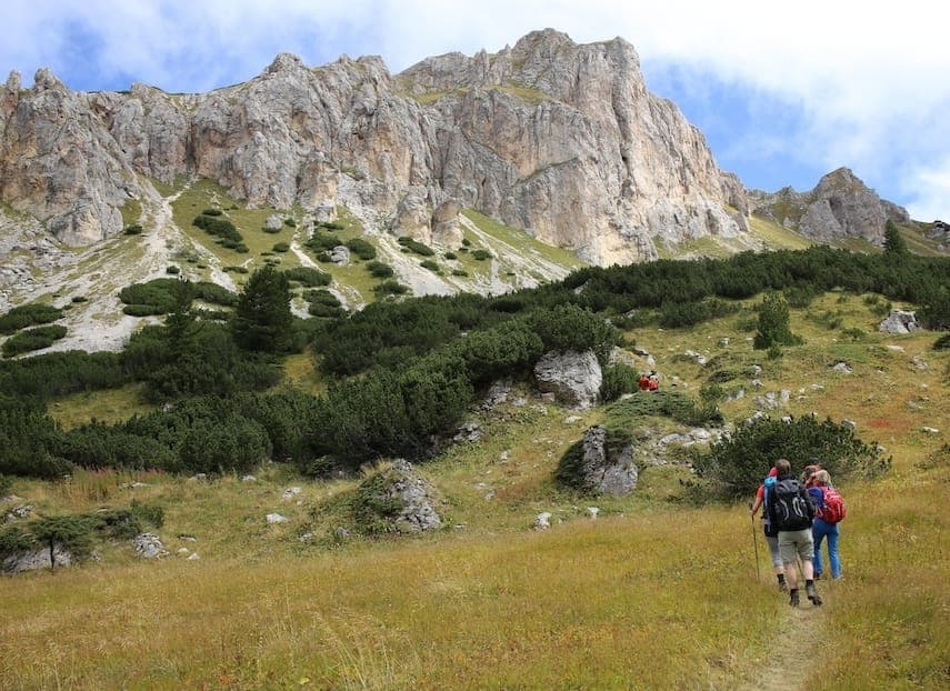
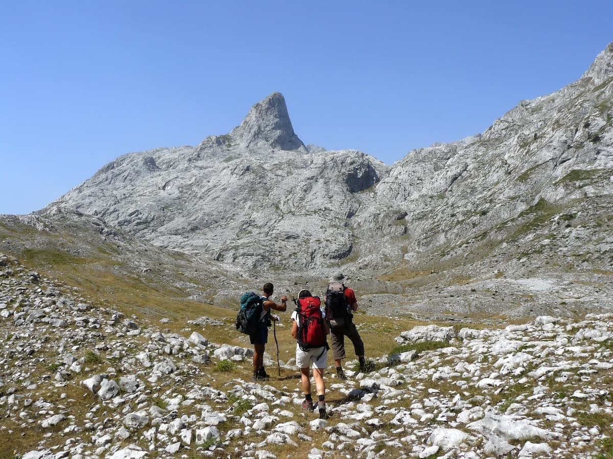
The park's walking centres on Perućica and the ascent of Maglić, the highest point in the Dinaric Alps at 2,386 m, with Trnovačko Lake (1,517 m) a common objective reached from the massif. Perućica is a strict reserve: access to the primeval forest is regulated and generally requires a park ranger or authorised guide rather than free wandering, which shapes how any itinerary is planned. Viewpoints over the Perućica basin give the clearest sight of the forest canopy and the Skakavac waterfall without entering the reserve floor.
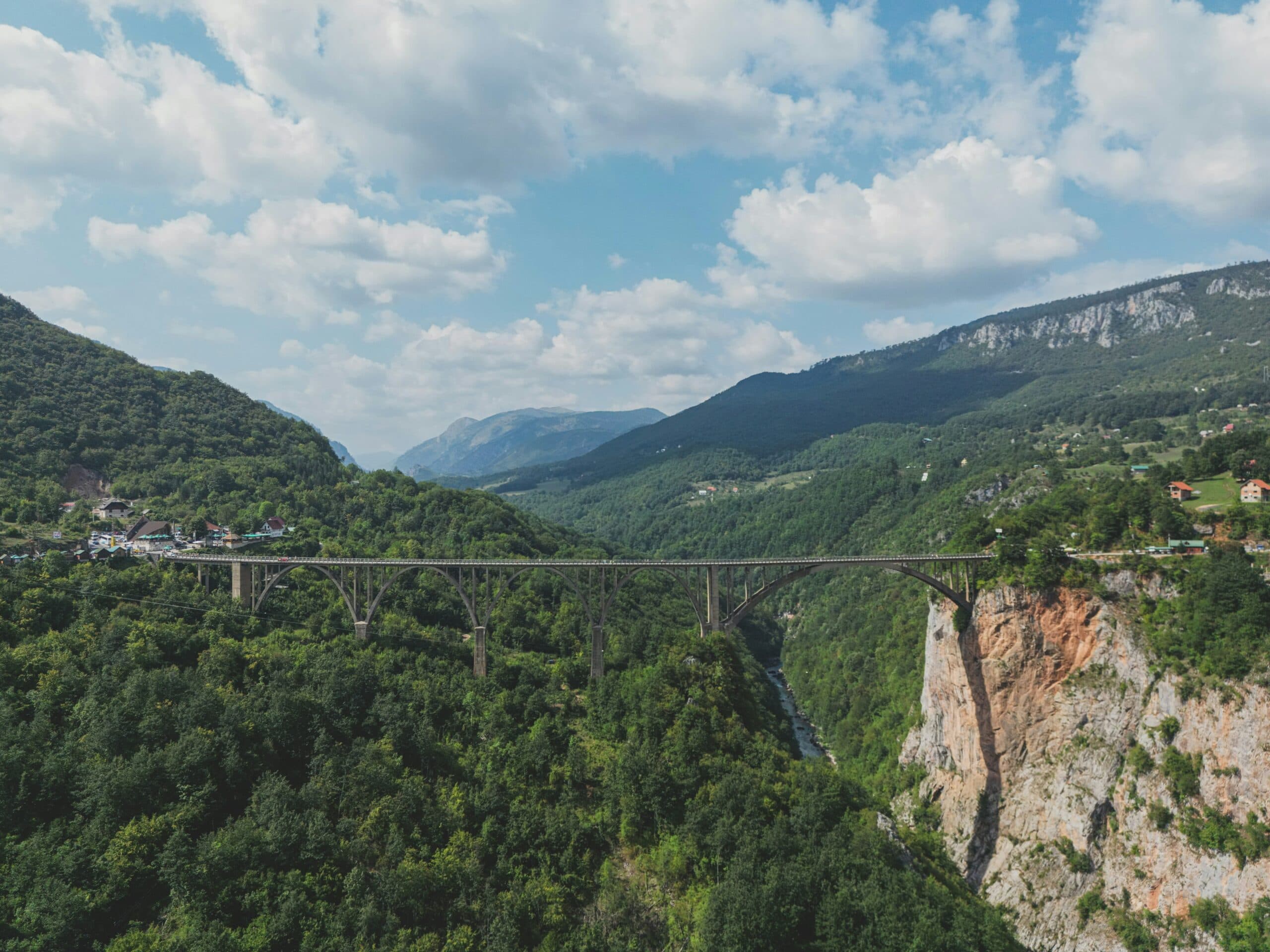
Sutjeska sits 100 km southeast of Sarajevo. By car it is about 2 hours via the M18 and the Šćepan Polje road, or 2.5 hours via Foča, which lies 20 km north of the park. From Sarajevo Airport (SJJ) the fastest option is to drive, roughly 1 hour 29 minutes; there is no direct bus, with services running via East Sarajevo Bus Station taking about 4 hours 23 minutes including transfers. From Foča bus station, a direct service to Tjentište runs three times a day; the drive covers about 27 km in around 26 minutes. Returning north, SONS doo operates a Foča–Sarajevo bus once daily, taking 1 hour 40 minutes. A vehicle gives the most flexibility for reaching trailheads inside the park, as public services are limited to a handful of daily departures.
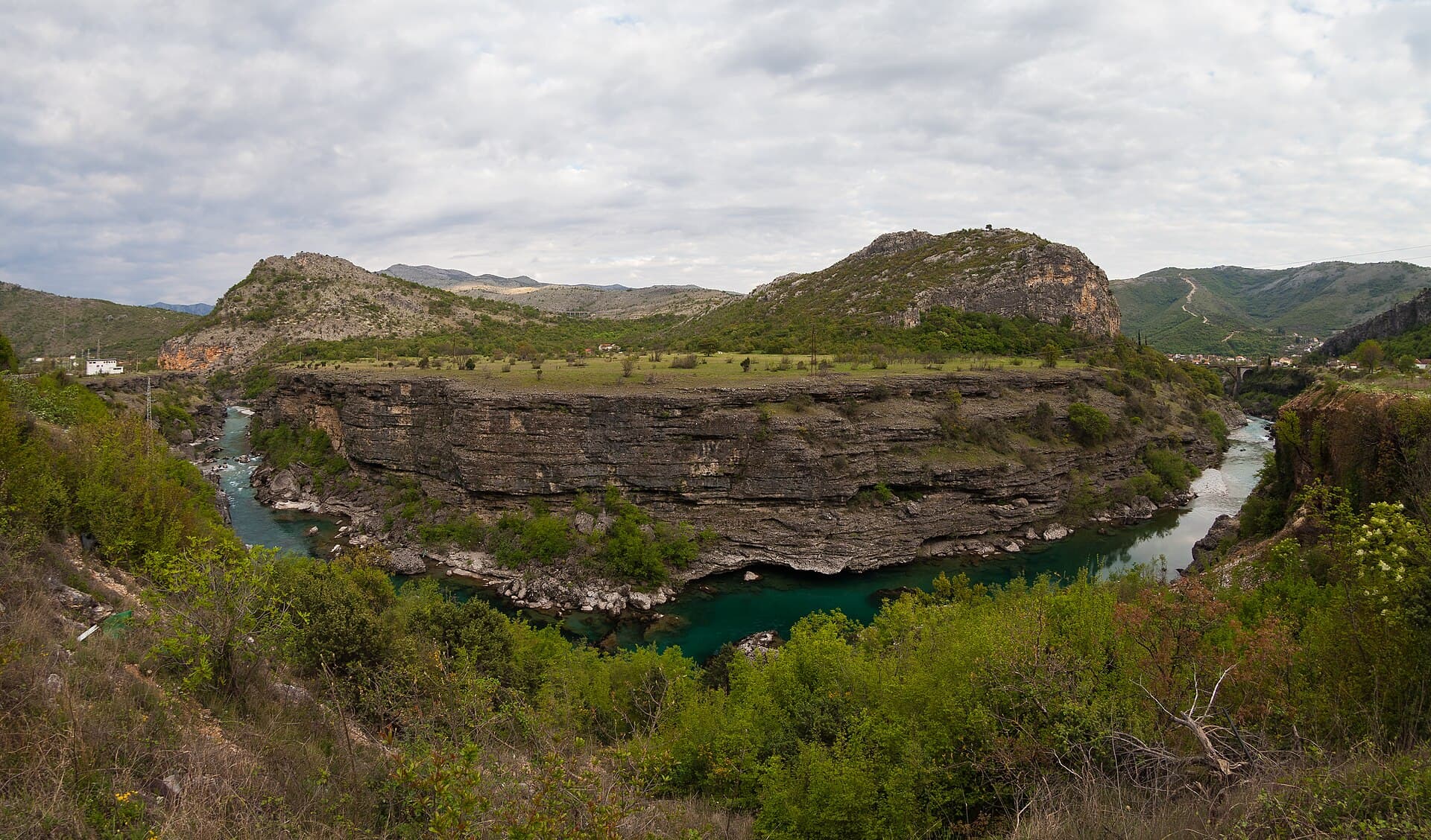
Marek Ślusarczyk (Tupungato) Photo portfolio · CC BY 3.0 · Wikimedia Commons
Park entry is collected at the checkpoint on the main road into Sutjeska. The published figure is 10 BAM / 5 EUR per person (visitsutjeska.com), though a second source lists roughly 5 KM / 2.5 EUR (evendo.com); the two do not agree and no dedicated 2026 fee schedule was found, so confirm the current rate with the park before travelling. All fees are cash only — carry BAM or EUR in small denominations. High mountain ground and the Maglić approach are summer objectives; snow and karst terrain make the peaks and Trnovačko Lake most sensible from late spring through early autumn. Perućica viewpoints are open across a longer window, but the reserve's access rules apply year-round.
Our journeys
3 journeys planned by our team in Podgorica — from gentle coastal weeks to high-mountain crossings.
Build your own trip →8 days · Cycling
7 days · Cycling
7 days · Cycling
Explore deeper
Meet your guides
We live in Bosnia & Herzegovina. We walk these trails, ride these roads and eat in these konobas every week. When you book with us, you’ll usually speak directly to one of the people who’ll be guiding you.
Meet the whole team →
Management
Quality assurance, sales and communication.

Management
Product development, sustainability and marketing.

Tour operations manager
Backoffice — keeps every trip running smoothly on the ground.

Reservations & group tour operations
Backoffice — bookings, group logistics and guest care.
Tell us roughly when, who's travelling and what kind of pace you like. We'll send back a draft itinerary within 1–2 days, no payment until you're happy with the plan.
Plan your trip