
Cycling
Durmitor Ring Road and Sedlo Pass: Drive, Ride or Hike It
ByThe 3E Travel team · · 7 min read
The Durmitor Ring is a 76 km mountain loop from Žabljak over the 1,907 m Sedlo pass. How to drive, cycle and hike it, with season and safety tips.
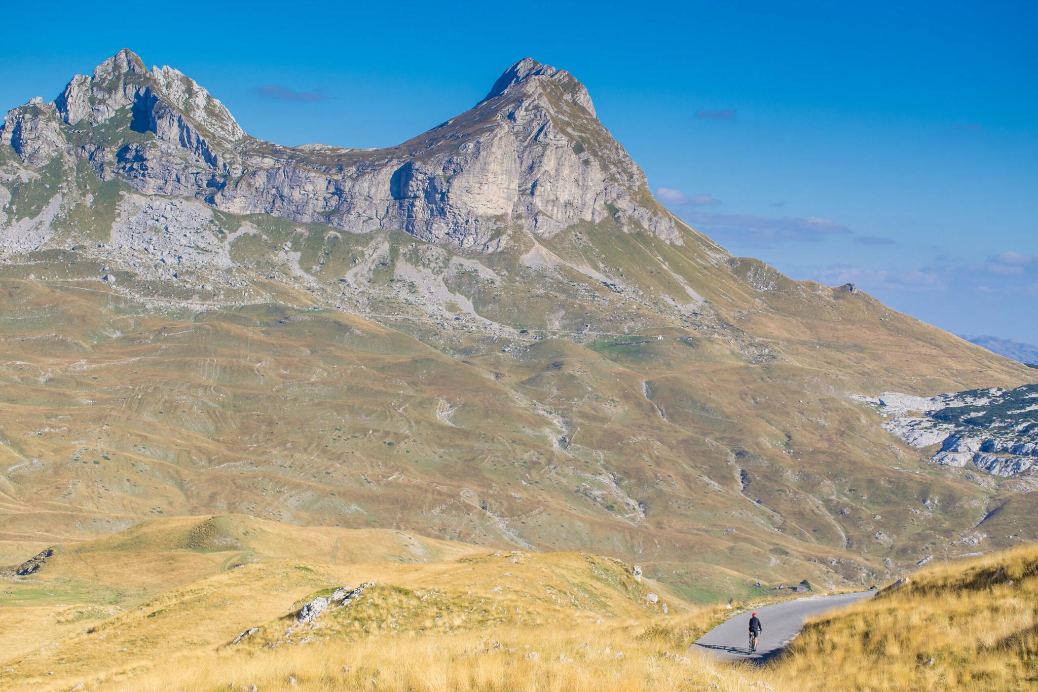
The Durmitor Ring is a 76 km paved loop that starts and ends in Žabljak, in northern Montenegro. It circles the Durmitor massif, runs along the edge of the Tara and Sušica canyons, and tops out at the Sedlo pass at 1,907 m. Most people drive it in a day. Strong cyclists ride it in one long day, and hikers use Sedlo as the trailhead for Bobotov Kuk.
It suits confident drivers, motorcyclists who like slow, twisty roads, and fit road or gravel cyclists. It is open from late May to October. Snow closes the high section in winter.
Durmitor Ring at a glance
| Fact | Detail |
|---|---|
| Length | 76 km official loop. Many GPS bike tracks run 85 to 90 km with detours |
| Start and finish | Žabljak (about 1,456 m) |
| Highest point | Sedlo pass, 1,907 m, the highest paved pass in Montenegro |
| Height gain by bike | About 1,700 m on a popular 87 km cycling track |
| Surface | Paved all the way, often patched and one lane wide |
| Season | Late May to October. Closed by snow in winter |
| Time by car | About 3 hours of pure driving. Plan a full day with stops |
| Time by bike | A full, long day for fit riders |
| Park fee | €5 per person per day for Durmitor National Park |
| Fuel | Only in Žabljak on the loop itself |
The Durmitor Ring stop by stop
The standard direction is anticlockwise. You leave Žabljak to the north, swing west along the canyons, turn south through the villages, then come back east over Sedlo. This order gives you the narrow northern section early, while it is quiet.
Žabljak to the Tara canyon rim
The first stretch runs north from town toward the rim of the Tara canyon. The Ćurevac viewpoint looks down into the canyon from the plateau. The road here is narrow and rolls up and down through meadows and pine woods.
Mala Crna Gora, Sušičko Lake and the Sušica canyon
Next you pass the hamlet of Mala Crna Gora and reach Sušičko Lake. A national park ticket booth stands near here. Switchbacks climb out of the valley to a viewpoint over the Sušica canyon. The canyon is about 15 km long and several hundred metres deep.
Nedajno, Trsa and Pišče
This is the tightest part of the ring. Between Nedajno and Trsa the road is roughly one lane wide. Rock rises on one side and the slope drops away on the other. Trsa sits on a high plateau at about 1,450 m. From Trsa a side road drops west to Plužine and Piva Lake. Pišče is a small village of stone houses and a church on the southern slopes.
Prutaš, Sedlena Greda and Sedlo
Climbing east, the big limestone walls of Prutaš and Sedlena Greda fill the view. Bobotov Kuk, the highest peak in the park at 2,523 m, sits just behind them. At Sedlo the road crests at 1,907 m. There is a parking area and the main trailhead for Bobotov Kuk.
Sedlo back to Žabljak
The last stretch runs down the Pošćenska valley, past Savin Kuk and back into Žabljak. This side is wider and gentler.
Sedlo pass: the high point of the ring
Sedlo, also called Prevoj Sedlo, is the highest paved road pass in Montenegro at 1,907 m. It sits on the P14 road, which runs about 50 km from Žabljak to Plužine. On a clear day you look across a bare, rocky saddle to the peaks of central Durmitor.
From Žabljak the climb to Sedlo is about 13 km with roughly 450 m of height gain. That works out at about 3.5% on average, and the lower part is gentle. The western climb from Lake Piva is much longer and harder. It reaches the Trsa plateau after about 11 km of climbing. Then it dips before the final push to the pass.
Snow is the main thing to watch. Sedlo can hold snow into late spring. In some years snow sits on the road from about 1,800 m into May, and cars turn back. If you plan a trip before mid June, ask in Žabljak before you set out.
Driving and riding the Durmitor Ring by car or motorbike
Allow about 3 hours of pure driving and a full day with stops. The official estimate is 4 to 5 hours. Most of the road is too narrow for two cars to pass at speed. Expect to pull over or reverse to a wider spot.
The ring is a poor fit for big vehicles. It is not recommended for campers or anything longer than 7 m. If you drive a campervan anyway, go clockwise. You climb the narrow sections instead of descending them.
Fill up in Žabljak. It has the only fuel station on the loop. Plužine also has fuel, but only if you take the side road down to Piva Lake. Carry cash too, since card payment is patchy outside town.
Durmitor National Park charges €5 per person per day. Keep the ticket with you. Motorcyclists get the best of the road: long sightlines on the plateau and tight bends on the canyon side. Watch for loose stones and livestock on the road.
Cycling the Durmitor Ring
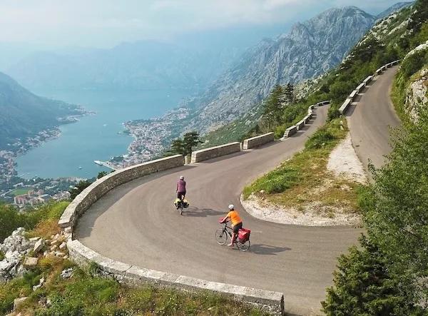
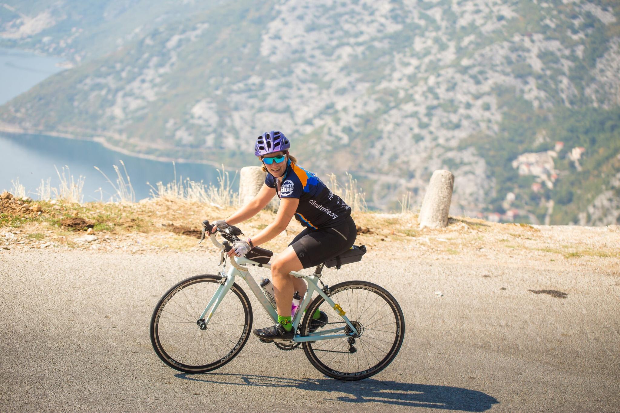
By bike the ring is a big day at altitude. A popular 87 km cycling track logs about 1,700 m of climbing. Sedlo is the high point, but most of the work comes from the many ups and downs around the canyons. The Sedlo climb from Žabljak is the gentlest part.
The hardest part is the narrow canyon section between Sušica and Trsa. The switchbacks out of Sušičko Lake are tight, and the surface changes every few kilometres. Ride it with good brakes and wider tyres. A gravel bike is a comfortable choice.
Water and food on the bike
Shops and cafés are few once you leave Žabljak. Carry two full bottles and food for the day. Some springs run all summer and some dry up. Check our guide to filling water on the Durmitor Ring in late August before you go.
Weather
Summer days at this height are warm. Nights can drop to about 10°C, and afternoon thunderstorms are common in July and August. Pack a wind jacket and long-fingered gloves for the descent from Sedlo.
Hiking from Sedlo: Bobotov Kuk and more
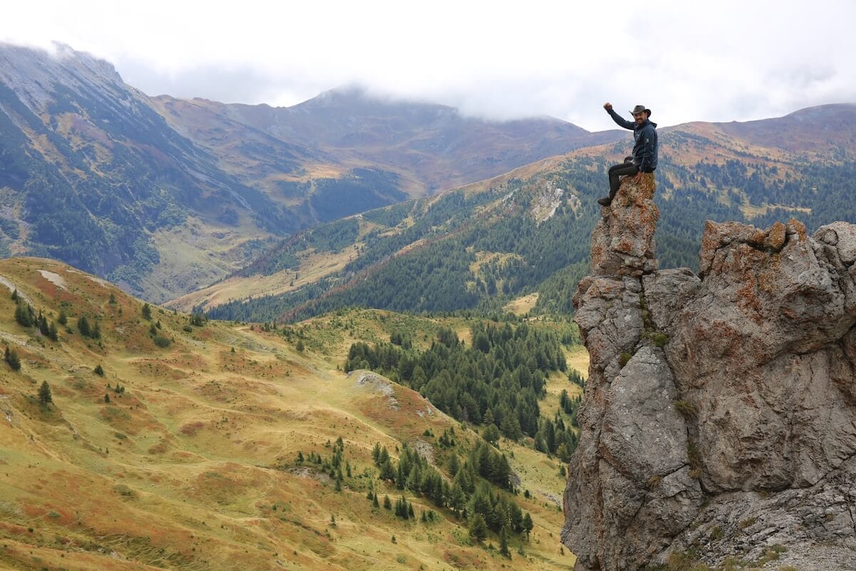
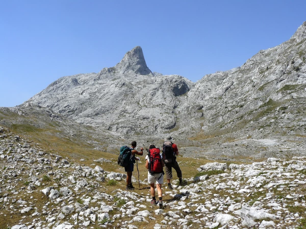
Sedlo is the shortest way up Bobotov Kuk, at 2,523 m. The round trip is about 10 to 12 km. With the ups and downs between passes you climb roughly 900 m. Most hikers take 5 to 8 hours. The last stretch to the summit is steep and exposed, with fixed cables, so go only in dry, settled weather.
Prutaš, at 2,393 m, is a shorter option. The usual trail starts at the Šarban pass at about 1,700 m and is about 8 km long, with around 700 m of climbing. Its summit gives one of the best views of Bobotov Kuk. For a gentle walk, the area around Sedlena Greda gives big views with little effort.
When to go and closures
The best window is late May to October. June brings flowers and long days, but check Sedlo for snow. July and August are the busiest months, with afternoon storms. September is calmer, with clear air and fewer cars. From November to April, snow closes Sedlo and the western half of the loop. Road signs are not a reliable guide to whether it is open, so ask locally.
How 3E rides the Durmitor Ring
Durmitor is a core part of our northern trips. On Cycling Highlights of Montenegro, Day 3 crosses the Durmitor high country from Žabljak and drops to Plužine on Lake Piva. That stage is 55 km with 900 m up and 1,600 m down. Day 4 follows the lake to Nikšić, with a detour to Piva Monastery.
On the 4-in-1 road cycling adventure, Day 4 starts with a panorama ride through Durmitor, then descends to the Tara bridge and Mojkovac. It is up to 82 km with 1,100 m up and 1,750 m down. Mountain bikers get a self-guided 48 km day in the park on Trans Montenegro by e-mountain bike.
Not a cyclist? On the Multisport Expedition, Day 6 drives the Durmitor Ring down to Piva Lake. Hikers on Montenegro's Northern Majesty start Day 4 at the Durmitor saddle. They walk to the ridge below Bobotov Kuk, about 14 km in 6 hours. See all our trips in Durmitor National Park, or send us a request for a tailor-made route.
How long is the Durmitor Ring?
The official loop is 76 km, starting and ending in Žabljak. Many cycling GPS tracks are 85 to 90 km because they add detours.
How long does it take to drive the Durmitor Ring?
About 3 hours without stops. Plan 4 hours at a minimum and a full day if you want to stop at viewpoints or hike.
How high is the Sedlo pass?
Sedlo is 1,907 m, the highest paved road pass in Montenegro. The climb from Žabljak is about 13 km.
When is the Durmitor Ring open?
Usually from late May to October. Snow closes Sedlo and the western part of the loop in winter, and late snow can linger into June.
Do you pay to drive the Durmitor Ring?
There is no road toll. The route runs through Durmitor National Park, which charges €5 per person per day.
Can you drive the Durmitor Ring in a campervan?
It is not recommended for vehicles longer than 7 m. If you go, drive clockwise and expect to reverse to passing places.
Written by
The 3E Travel team