


Montenegro
8 days · Hiking
From the Bay of Kotor to Lake Skadar – Historical trade and military trails
▲▲▲▲▲Moderate
Walking · Hiking · Cycling · Montenegro
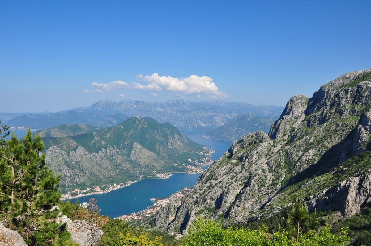
Walking, hiking and cycling holidays in Vrmac mountain range, self-guided or with a local guide. Vrmac is a limestone ridge separating the inner and outer parts of the Bay of Kotor, rising to 785 metres at Sveti Ilija. An old Austro-Hungarian military road runs its full length, linking a ruined fort above Kotor to the villages of Tivat municipality. The reward is walking that stays high above the water for hours, with Kotor on one side and Tivat Bay on the other, on a ridge you can reach in under twenty minutes from either town.
Why Vrmac mountain range
We've spent years walking, hiking and cycling across Vrmac mountain range in every season. The trips below are built around the routes that work — the quiet ones, the beautiful ones, the ones with great food at the end of the day.
If none of them quite fit, get in touch. We'll happily build you a private version, shaped around your interests, fitness and pace.
How we travel here
Walking
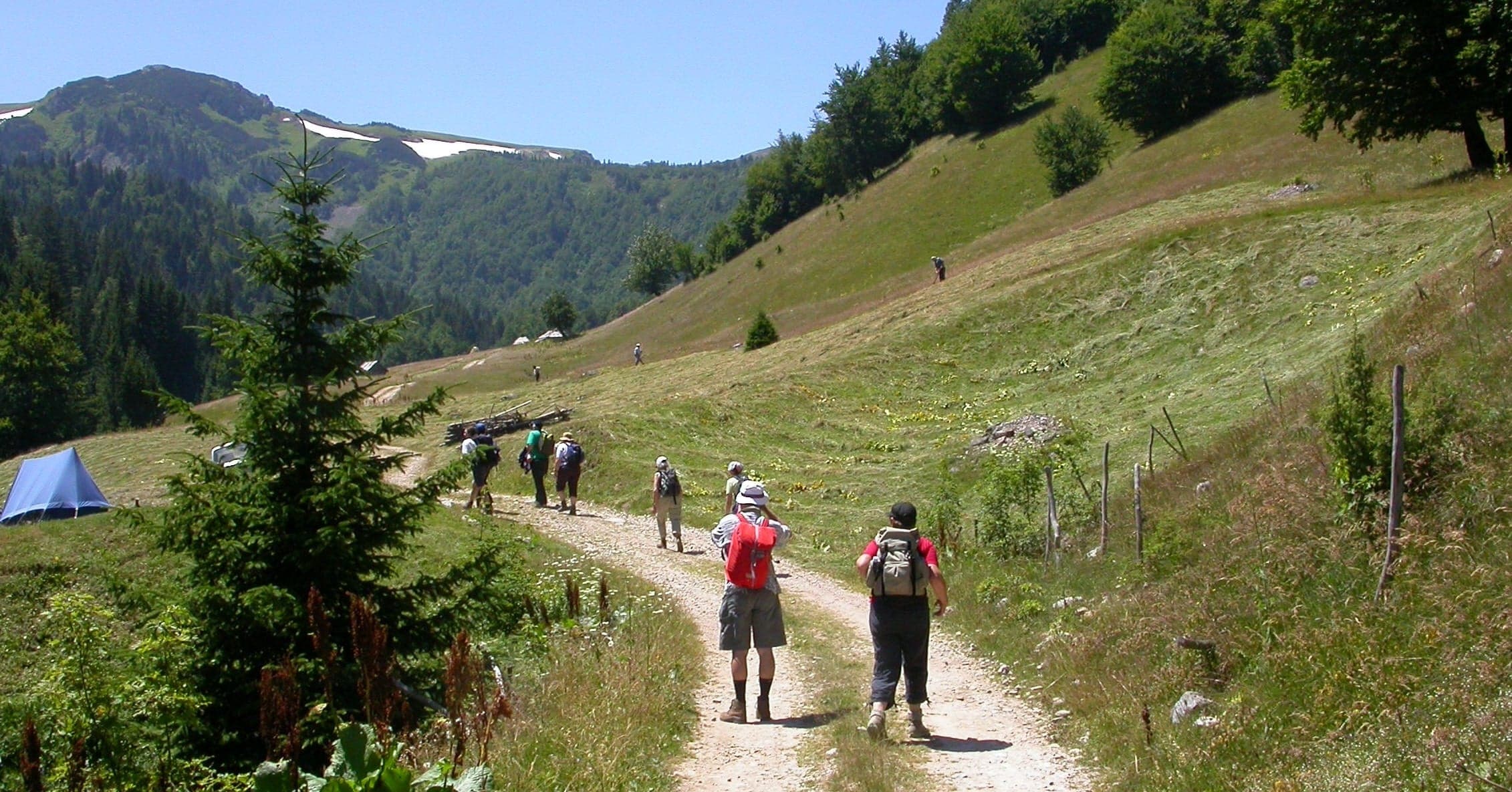
Coastal trails, village paths and slow days on foot, with time to stop.
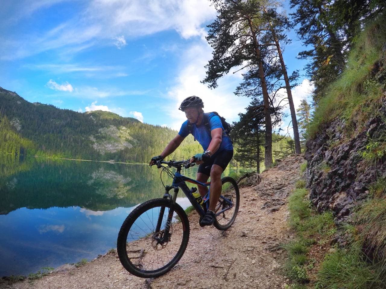
Hiking
Mountain trails, hut-to-hut days and summit walks, graded honestly.
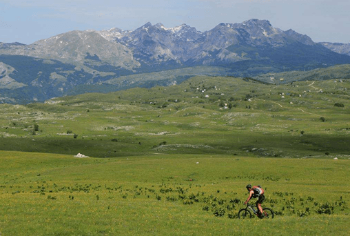
Cycling
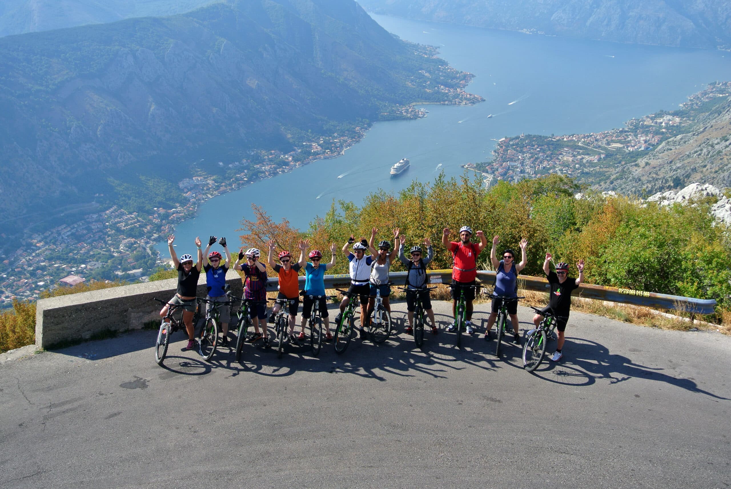
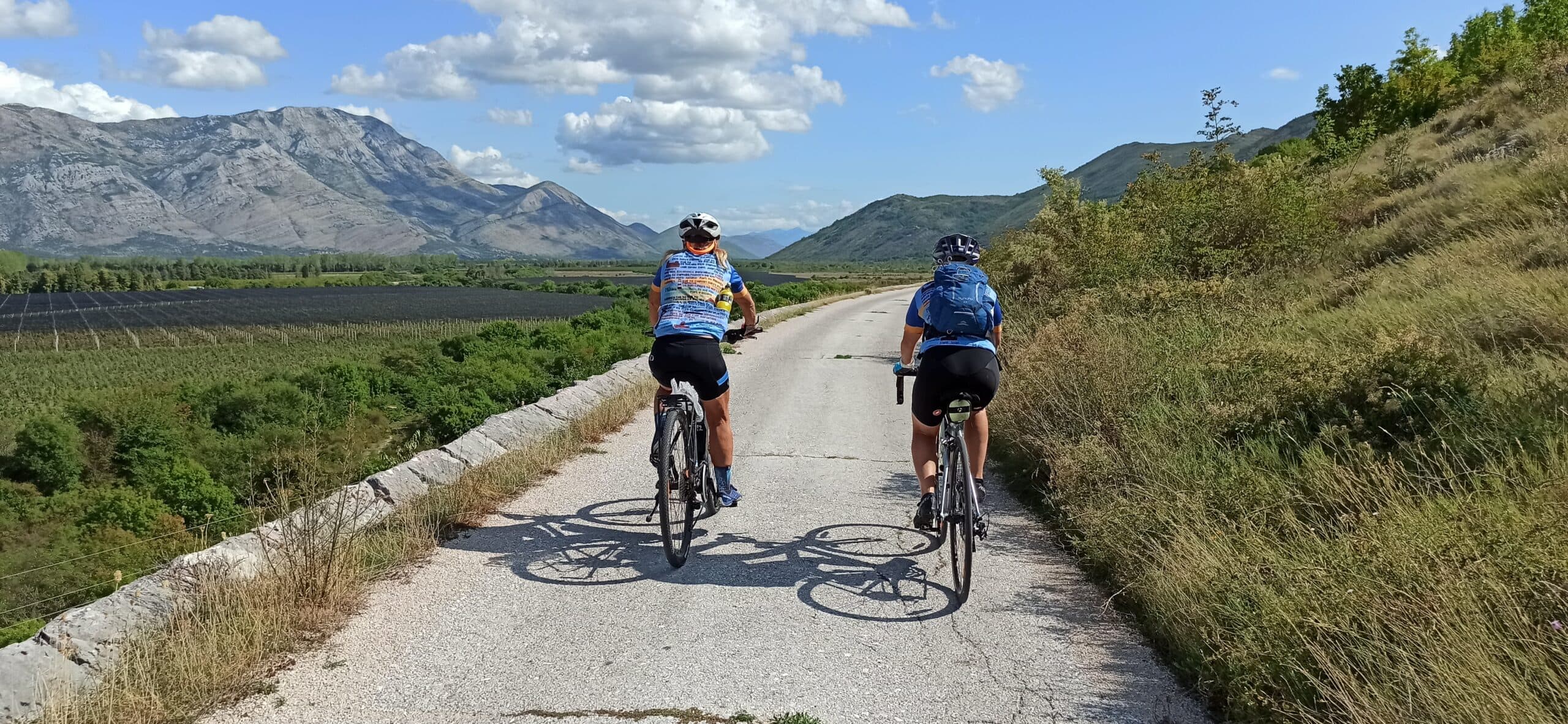
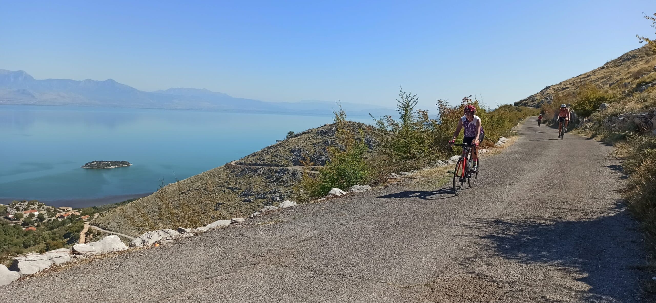
Quiet back roads and gravel routes — road, gravel and e-bike, with luggage moved between stays.
Travel guide
Vrmac is a mountain and peninsula in southwestern Montenegro, an extension of Mount Lovćen, dividing Tivat Bay from Kotor Bay. Its highest point is Sveti Ilija at 785 metres (some hiking sources cite 765 m). It carries no national-park or protected-area designation; Montenegro's national parks are governed by the Law on National Parks (Official Gazette 56/09 and 28/2014), and Vrmac is not on that list. The ridge sits northeast of Tivat and southwest of Kotor. Its principal monument is Fort Vrmac, at 480 metres: a first fortress was built in 1860, and the present structure was constructed by the Austro-Hungarian Empire between 1894 and 1897. It was heavily bombarded by Montenegrin forces during the First World War, repaired and disarmed before the war ended, then abandoned. Now controlled by the municipality of Kotor, it is one of the best-preserved forts in the Bay of Kotor area.
The ridge itself is the attraction: a limestone crest dividing the inner and outer Bay of Kotor, walked along an old military road built by the Austro-Hungarians. Fort Vrmac is the principal monument, sitting at 480 metres. A first fortress was established here in 1860; the present structure dates to 1894–97 and was armed with eight 12 cm M80/85 mortars and four 10 cm M05 guns. It saw action in the First World War when Montenegrin forces bombarded it, and it survives as one of the best-preserved forts around the bay. Below the summit of Sveti Ilija there is a ruin with a concrete surface that works as a viewpoint over the Bay of Kotor. The ridge is not a delineated reserve, so there is no published flora or fauna inventory; walkers report pine forest and free-roaming cattle and goats rather than a managed wildlife trail.
The Vrmac Ridge Trail runs point-to-point from Fort Vrmac over Sveti Ilija down to Donja Lastva, covering 13.4 km with 303 m of ascent and taking roughly 4.5 to 5 hours. It follows the Austro-Hungarian military road along the crest, connecting the fort ruin to the high point. If you want to reach the ridge from Kotor on foot, a 4.4 km switchback trail climbs to the fort with 505 m of ascent, taking about 1 hour 45 minutes. Our full account of the crossing is in Vrmac Ridge Trail: A Scenic Hike Between Kotor and Tivat, which covers the walk between the two towns. The old road surface also suits cycling, though gradients and rough sections vary;
Vrmac sits directly between Kotor and Tivat, and Fort Vrmac is about a 17-minute drive from Kotor. The fort is reached by the military road that crosses the ridge from Troica to Gornja Lastva in Tivat municipality, or by a winding path up from Muo, a suburb of Kotor. Through traffic no longer crosses the mountain: the 1,637 m Vrmac Tunnel now links Kotor to the Adriatic Motorway beneath the ridge, replacing the old curved road over the top. The nearest airport is Tivat (TIV), 6 km from the centre of Kotor, a taxi transfer of around 9 minutes. Podgorica (TGD) is 89 km from Kotor by road and Dubrovnik (DBV) 71 km. Because the ridge is a point-to-point walk, plan transport back: check bus or taxi options between Donja Lastva or Tivat and your start point.
There is no entry fee for Vrmac and no gated opening season. The ridge trail is an open, unmanned old military road with free public access, and no ticketing has been recorded. The fort is controlled by the municipality of Kotor; it was sold to a Swedish company in 2006 for 2.83 million euros for a tourism scheme, but the firm went bankrupt in 2011 before any construction began, so the site remains a ruin without managed access. The full ridge crossing takes 4.5 to 5 hours with limited shade on the exposed crest, so the shoulder seasons of spring and autumn suit it better than the height of summer. Carry water: no supply points are recorded along the route, and the concrete-surfaced ruin below Sveti Ilija is the main shaded stopping place.
Our journeys
21 journeys planned by our team in Podgorica — from gentle coastal weeks to high-mountain crossings.
Build your own trip →8 days · Hiking
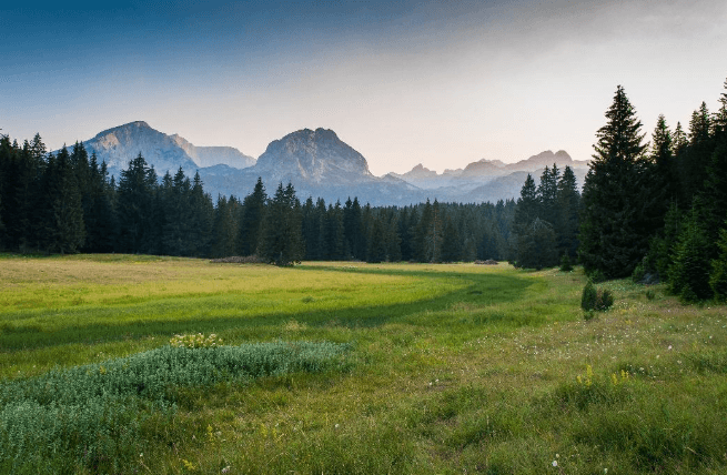
7 days · Hiking
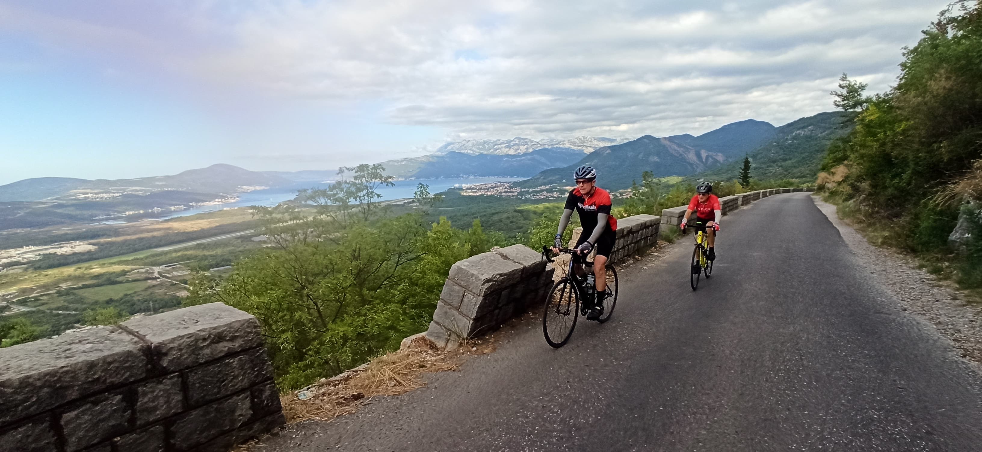
8 days · Cycling
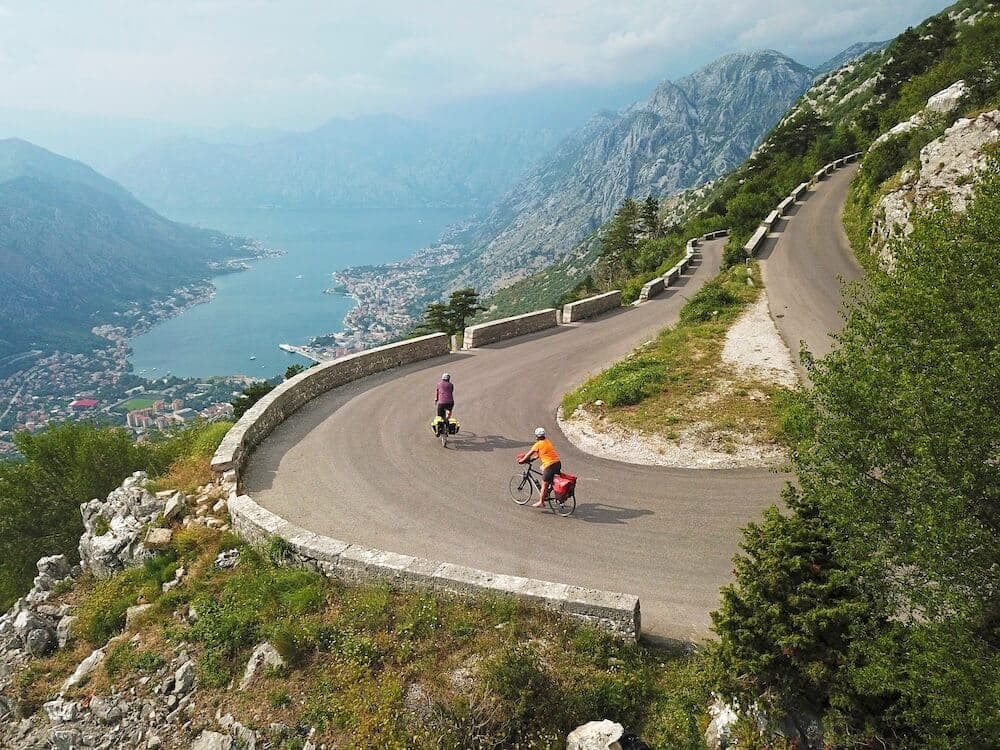
7 days · Cycling
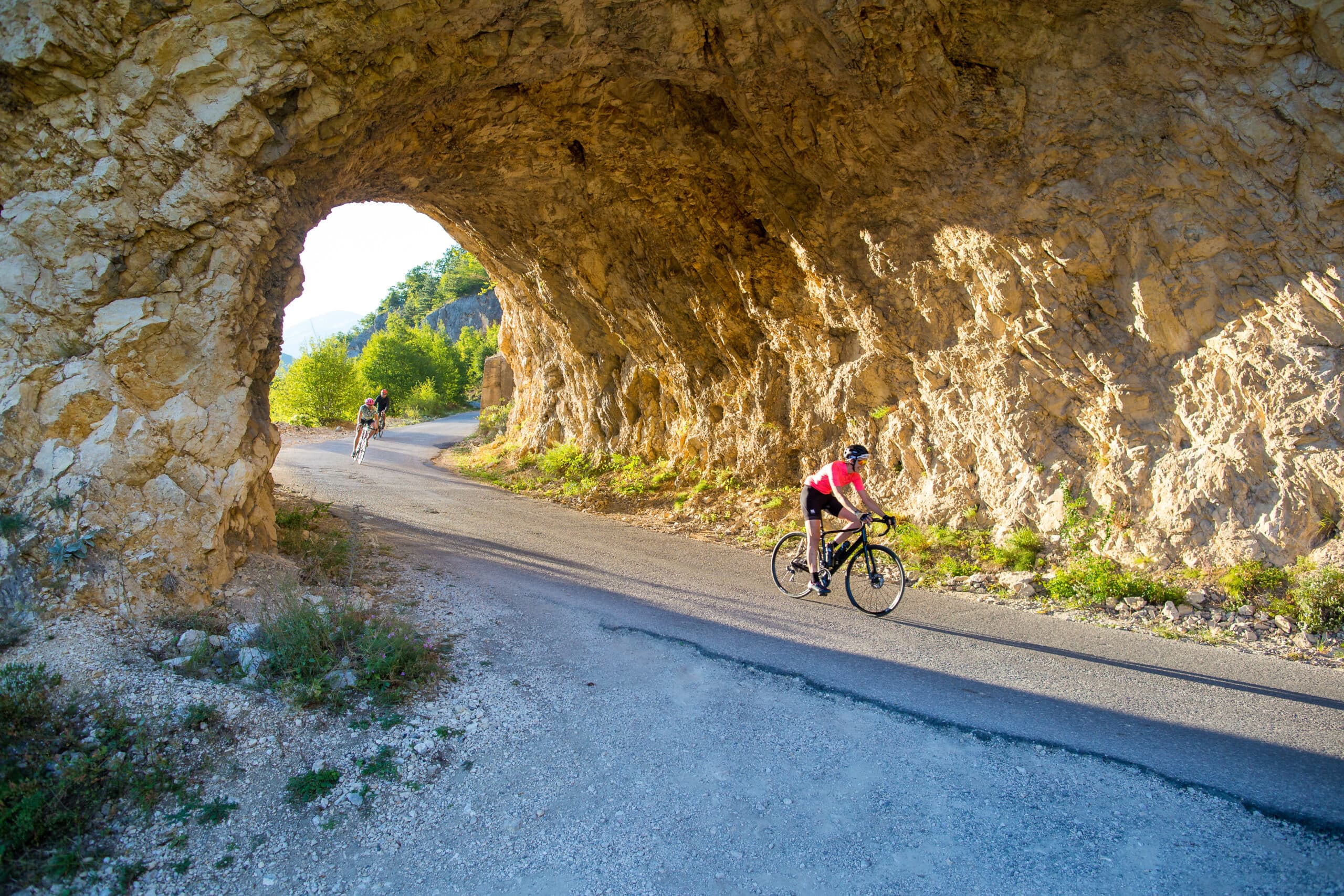
8 days · Cycling
8 days · Hiking
8 days · Cycling
7 days · Cycling
7 days · Hiking
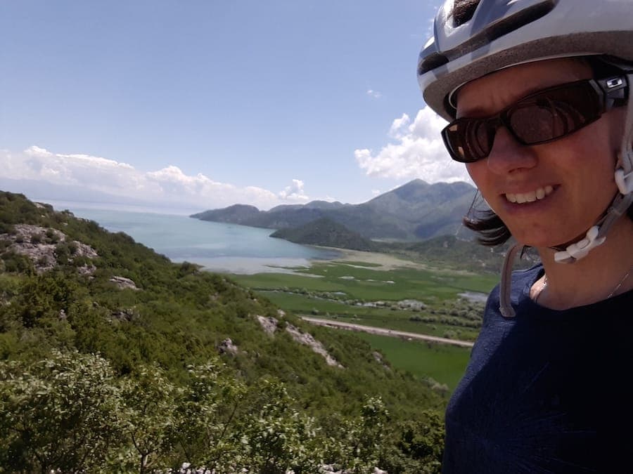
1 day · Cycling
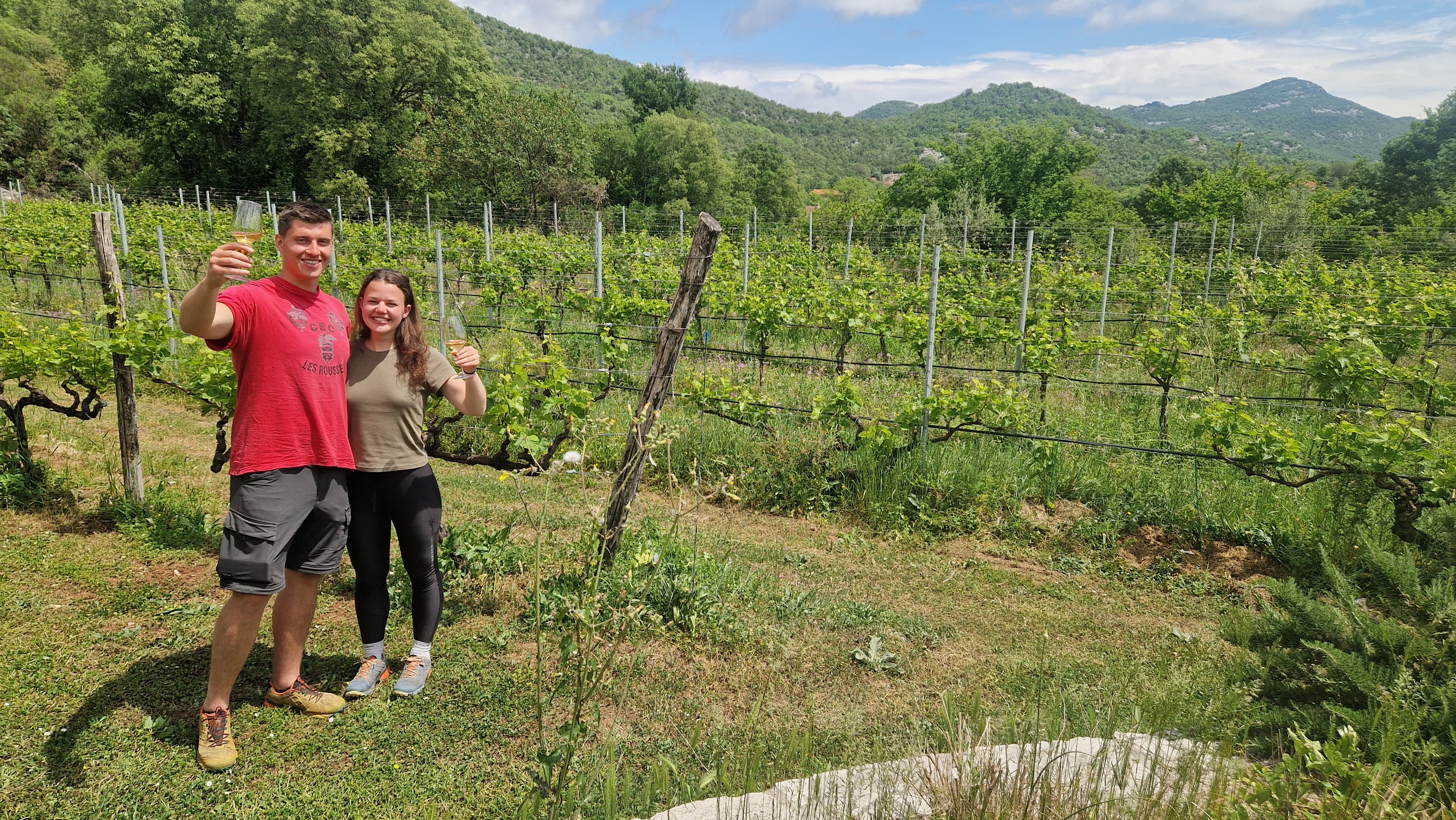
1 day · Cycling
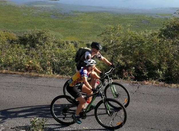
1 day · Cycling
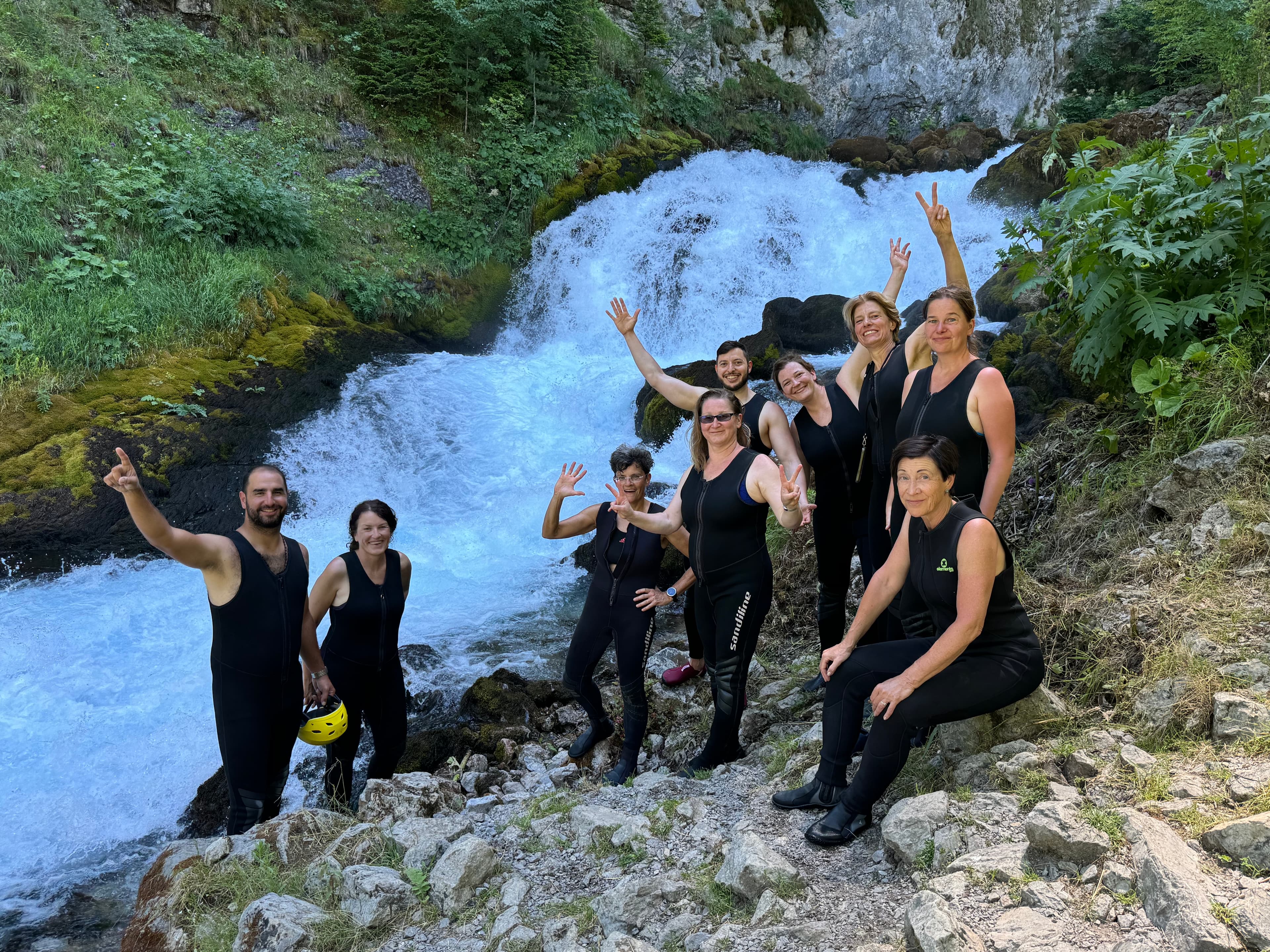
9 days · Cycling
8 days · Cycling
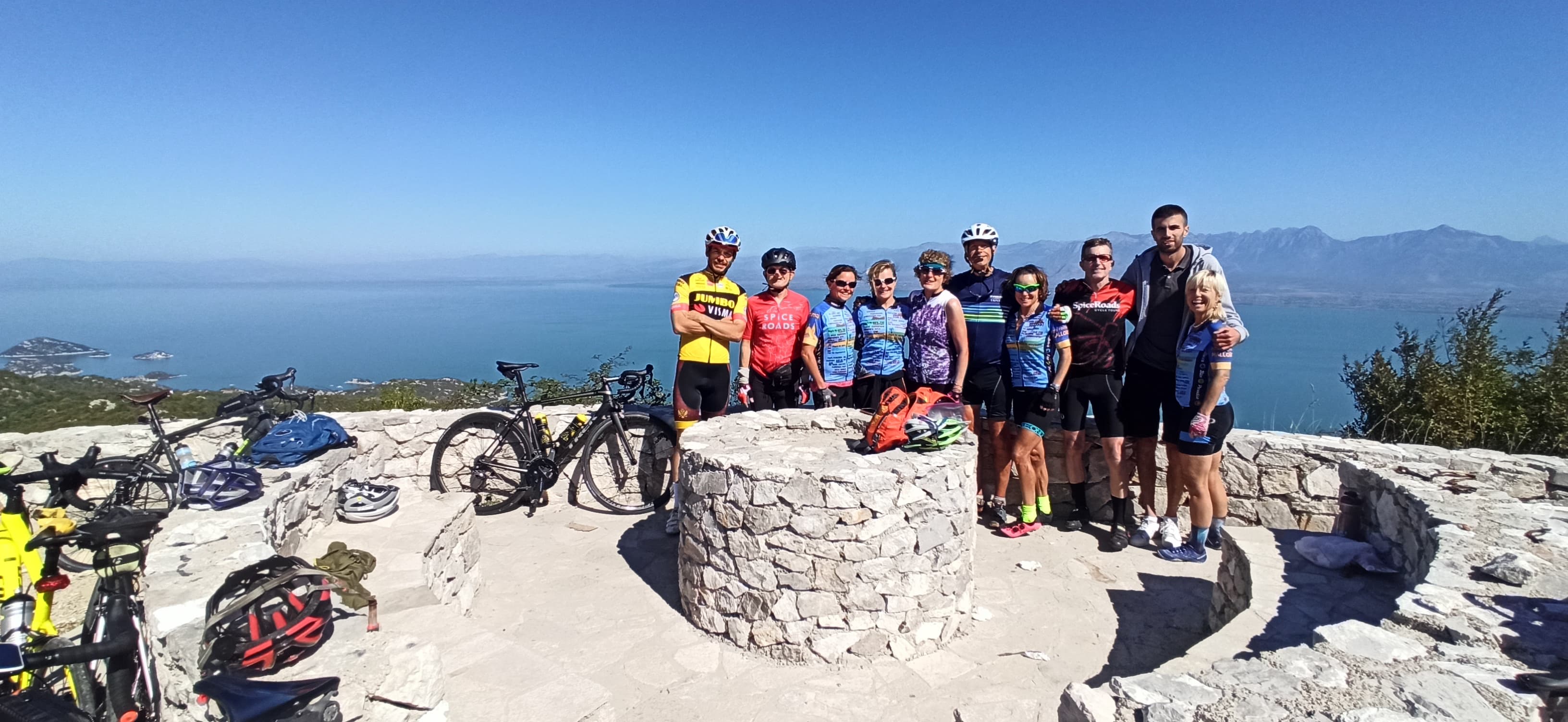
7 days · Cycling
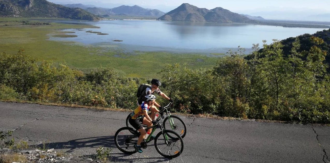
7 days · Cycling
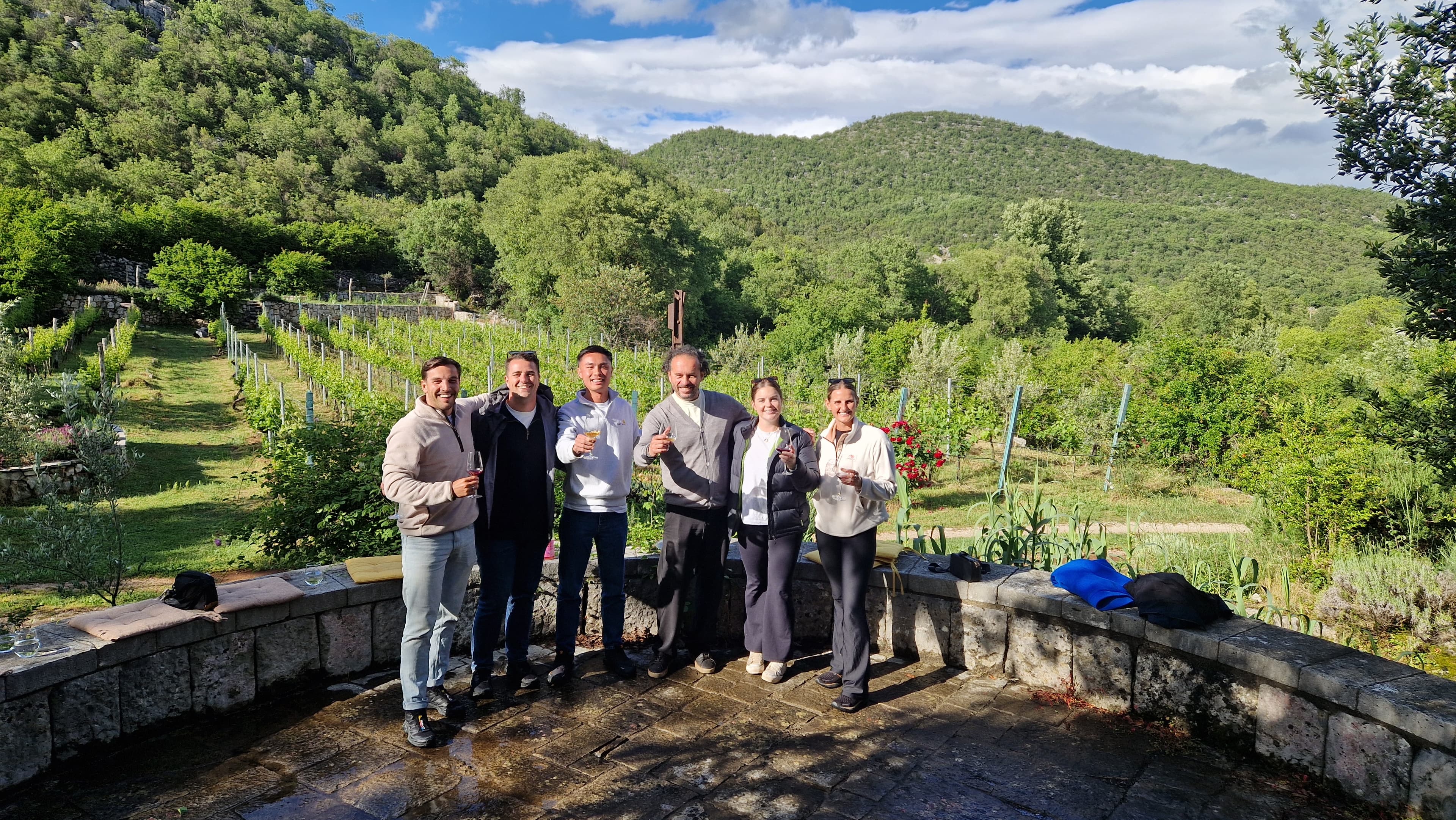
1 day · Multi-activity
from € 160,- / per person
Meet your guides
We live in Vrmac mountain range. We walk these trails, ride these roads and eat in these konobas every week. When you book with us, you’ll usually speak directly to one of the people who’ll be guiding you.
Meet the whole team →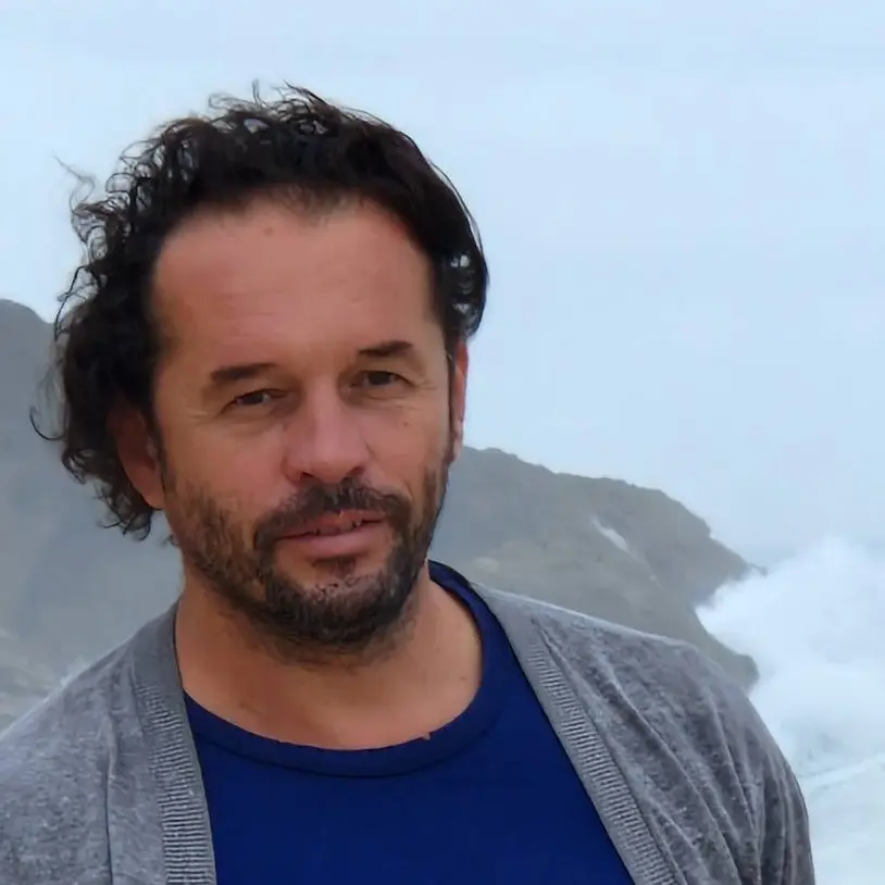
Management
Quality assurance, sales and communication.

Management
Product development, sustainability and marketing.

Tour operations manager
Backoffice — keeps every trip running smoothly on the ground.

Reservations & group tour operations
Backoffice — bookings, group logistics and guest care.
Tell us roughly when, who's travelling and what kind of pace you like. We'll send back a draft itinerary within 1–2 days, no payment until you're happy with the plan.
Plan your trip