


Montenegro
8 days · Hiking
From the Bay of Kotor to Lake Skadar – Historical trade and military trails
▲▲▲▲▲Moderate
Walking · Hiking · Cycling · Montenegro
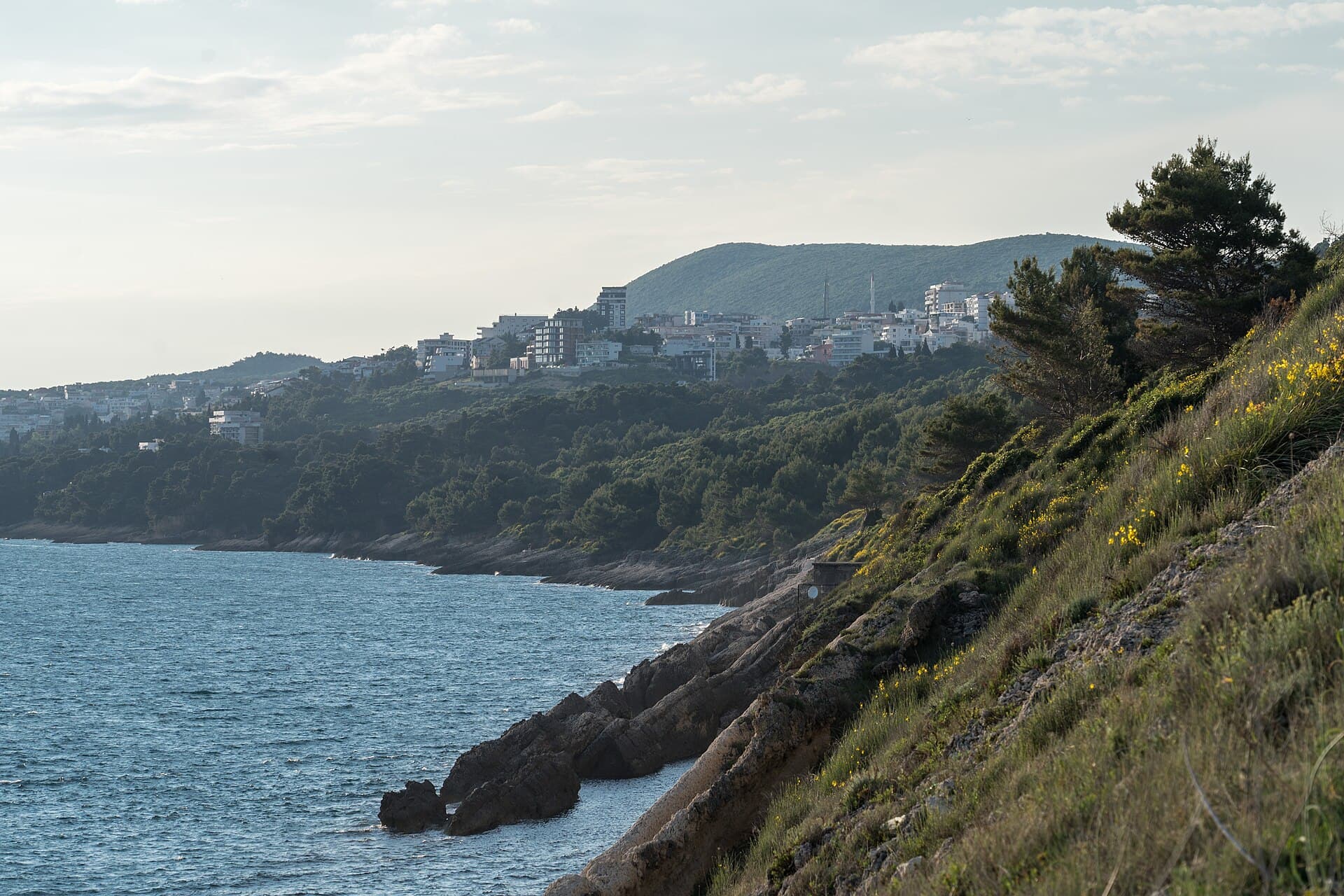
Walking, hiking and cycling holidays in Ulcinj, self-guided or with a local guide. Ulcinj is Montenegro's southernmost municipality, a 255 km² wedge of coast between Bar, Albania and the Adriatic. It holds the country's longest beach at 13 km, the largest salt pans in the Adriatic at 1,500 hectares, a walled Old Town on a rocky peninsula and a river-delta island where the Bojana meets the sea. For birdwatchers, walkers and anyone drawn to a quieter southern coast, the range of landscapes packed into one municipality earns the drive.
Why Ulcinj
We've spent years walking, hiking and cycling across Ulcinj in every season. The trips below are built around the routes that work — the quiet ones, the beautiful ones, the ones with great food at the end of the day.
If none of them quite fit, get in touch. We'll happily build you a private version, shaped around your interests, fitness and pace.
How we travel here
Walking
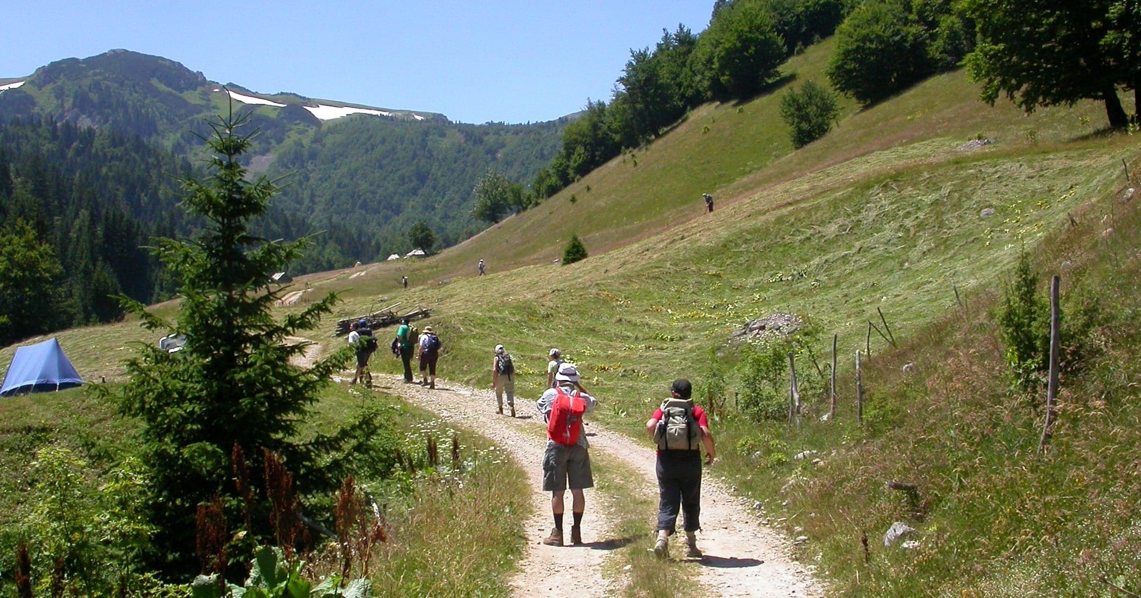
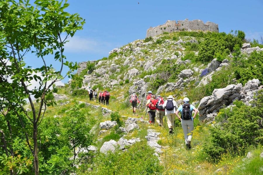
Coastal trails, village paths and slow days on foot, with time to stop.
Hiking
Mountain trails, hut-to-hut days and summit walks, graded honestly.
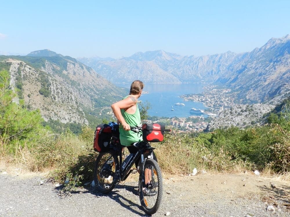
Cycling
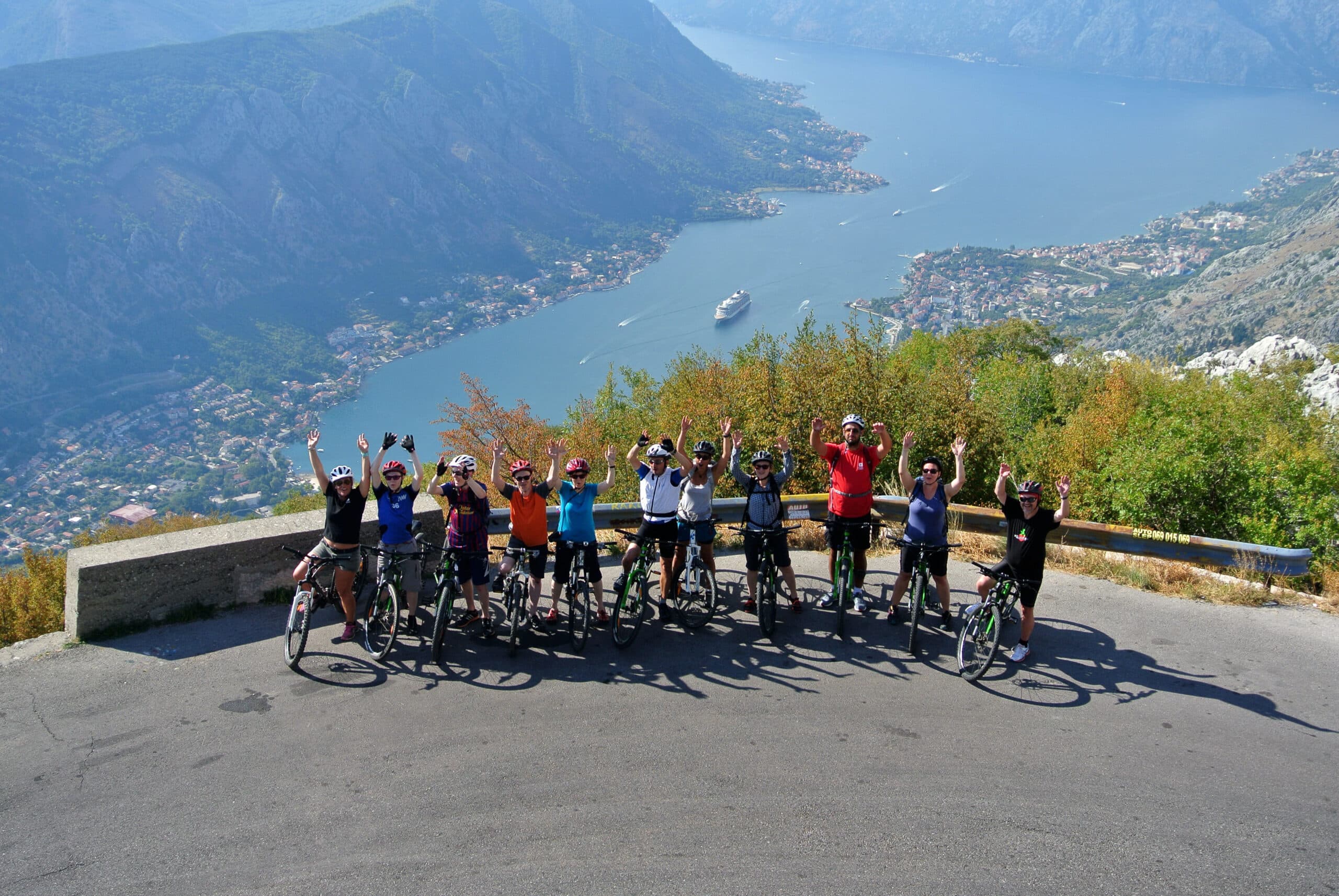
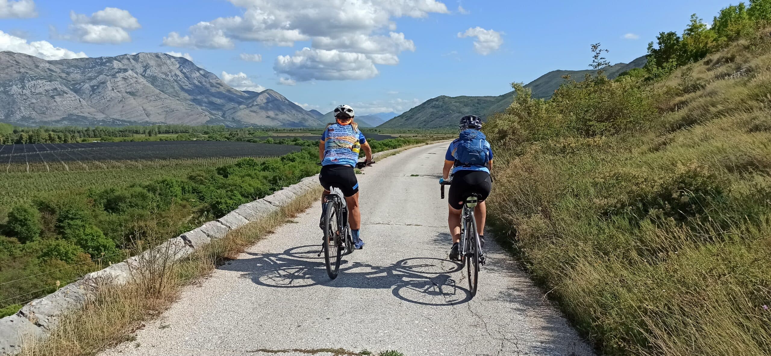
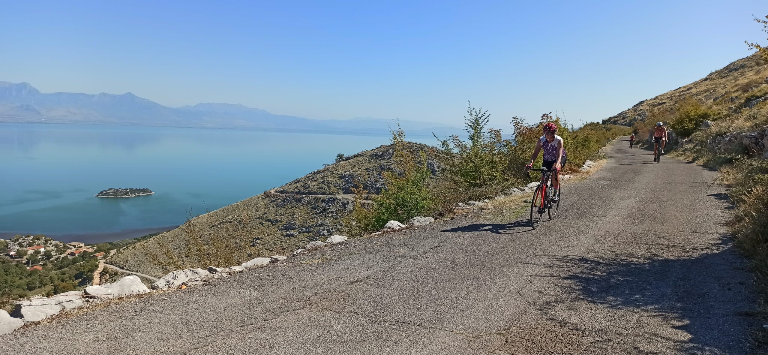
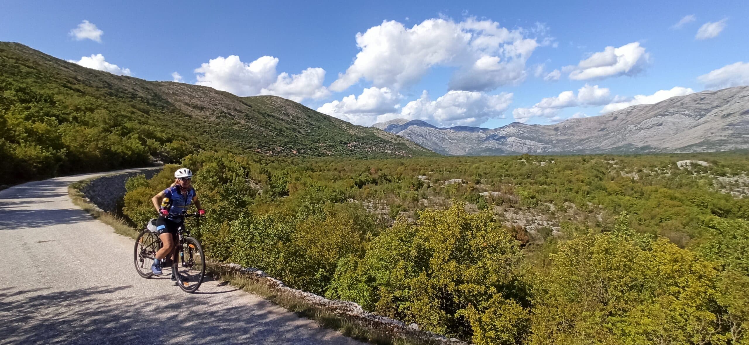
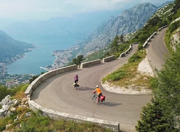
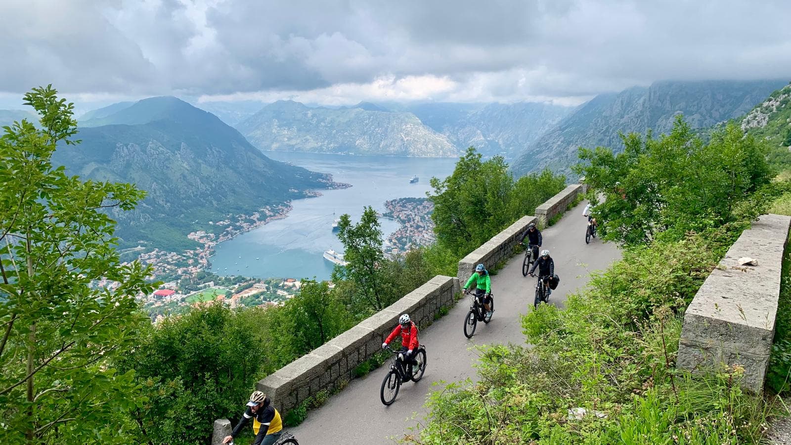
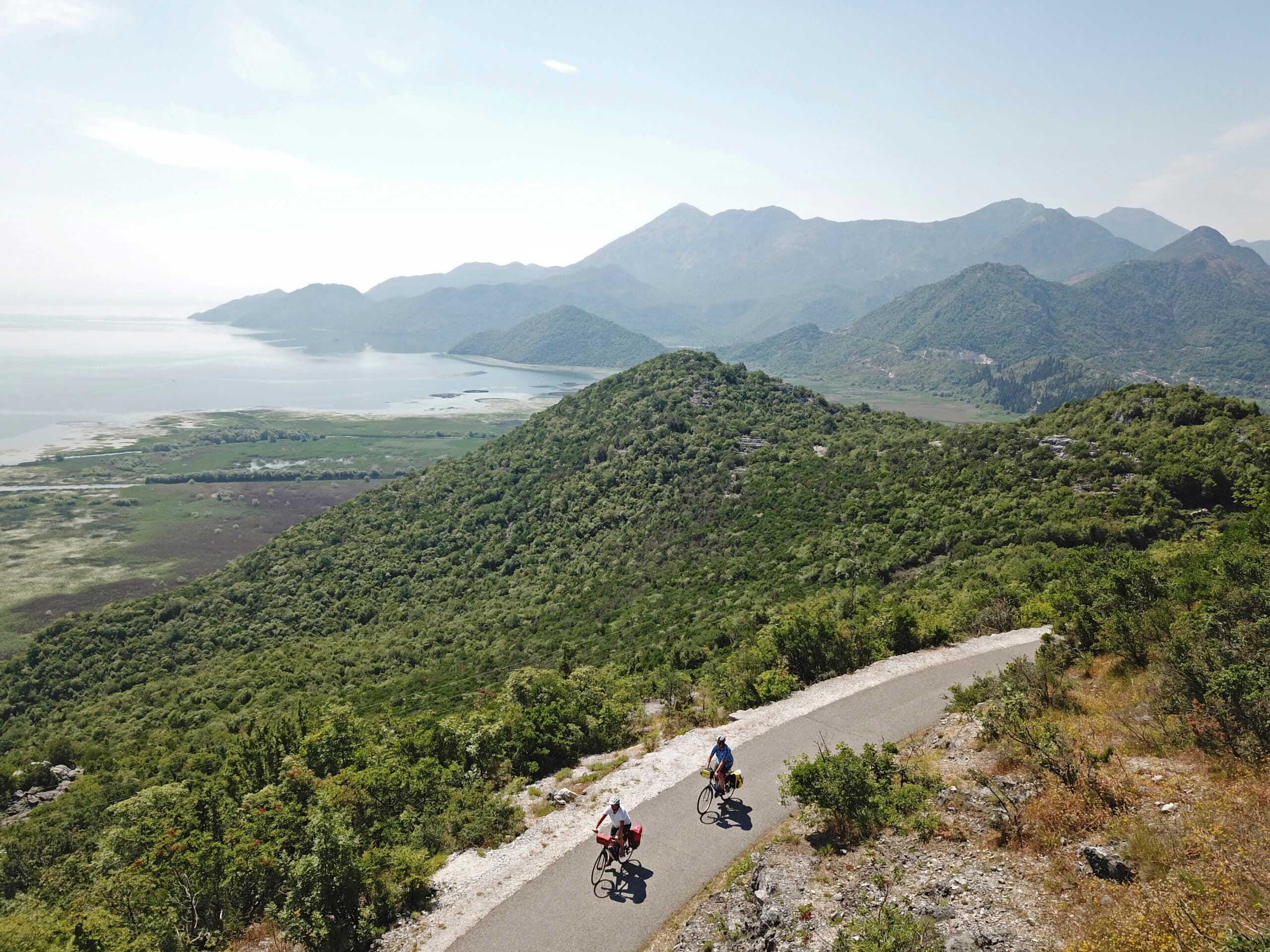
Quiet back roads and gravel routes — road, gravel and e-bike, with luggage moved between stays.
Travel guide
Ulcinj municipality covers 255 km² and recorded 19,921 residents at the 2011 census. Its principal protected feature is the Ulcinj Salina, salt pans built in the 1930s where production stopped in 2013. The site was declared a Nature Park on 24 June 2019 and, on 10 September 2019, became Montenegro's third Ramsar Wetland of International Importance (Site no. 2399, the largest salina in the Adriatic), spanning 1,500 hectares. The town itself is an ancient seaport, believed founded by Greek settlers in the fifth century BC under the name Colchinium, captured by the Romans in the second century BC, and rebuilt over centuries by Byzantines, Venetians and Ottomans. Ulcinj sits at the far south of the country, bordered by Albania to the east, Bar Municipality to the north and the Adriatic to the south and west. Podgorica Airport lies about 45 miles north by road; Bar is roughly 34 minutes away by car.
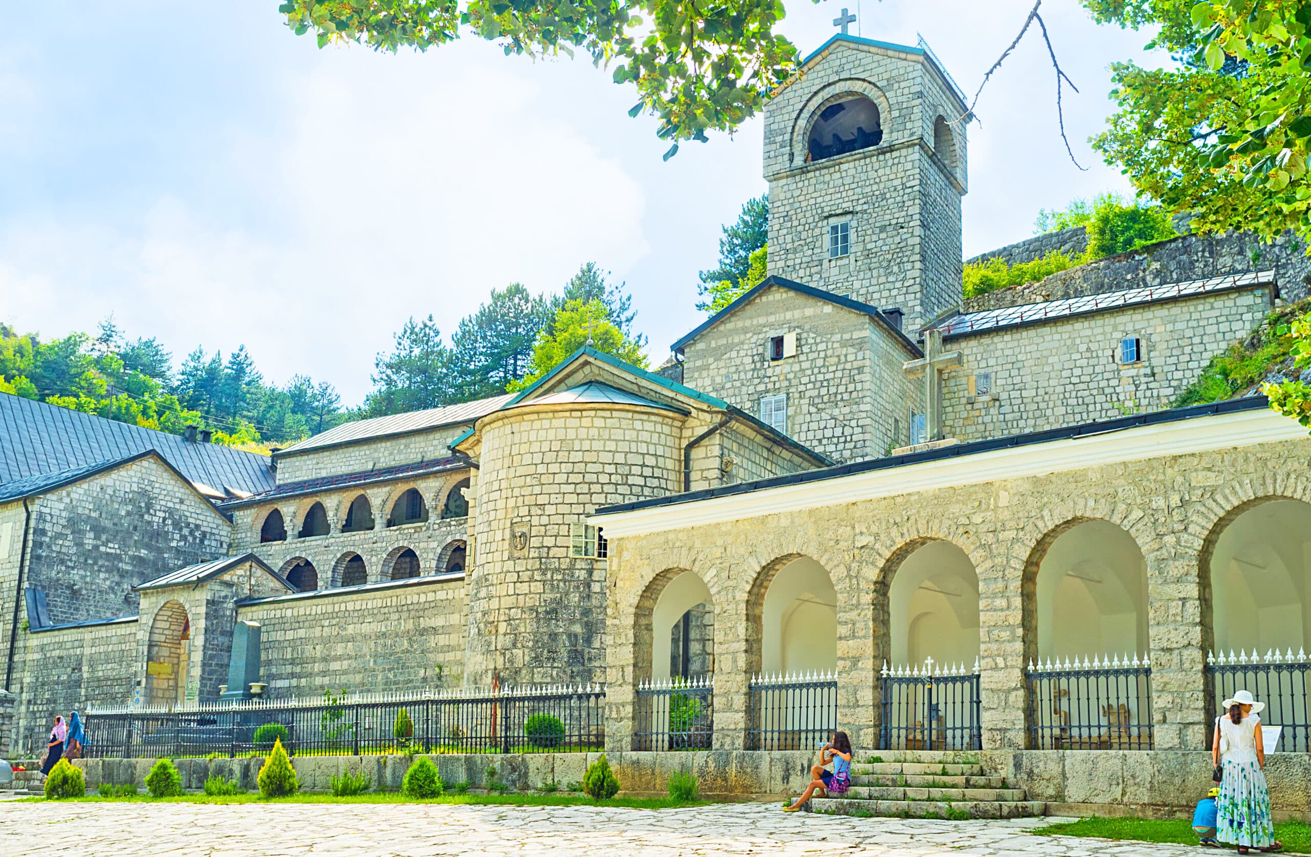
Four distinct landscapes sit within one municipality. Velika Plaža, the Long Beach, runs for 13 km, among the longest beaches on the Adriatic. The Ulcinj Salina covers 1,500 hectares of former salt-production basins, now largely grassland, halophyte vegetation and reeds, still divided into old crystallisation and evaporation areas. Ada Bojana is an island of 4.81 km² in the Bojana River delta, 3 km long and rising to just 3 m, with a resident population of 201. Lake Šas (Šasko jezero) lies northeast of town near the village of Šas: 3.2 km long, 1.5 km wide, 5.5 km² in surface area and up to 7.8 m deep, with an 8.6 km shoreline. Above the Rana Gulf, the Old Town and castle (Kalaja) stand on a small peninsula first fortified by the Illyrians, with only the Cyclopean Wall surviving from the earliest phase and later work by Byzantines, Venetians and Ottomans.
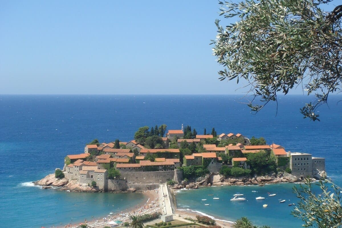
Velika Plaža's 13 km of level shoreline and the flat delta terrain around Ada Bojana and the Salina lend themselves to walking and cycling without steep climbs; the island tops out at 3 m and the salt pans are near sea level. The Salina's dyke tracks between basins give straightforward walking and birdwatching lines, and the Old Town's peninsula rewards a slower walk through its restored lanes and walls. We walk and ride the routes we sell, but no 3E route article for Ulcinj is recorded here yet.
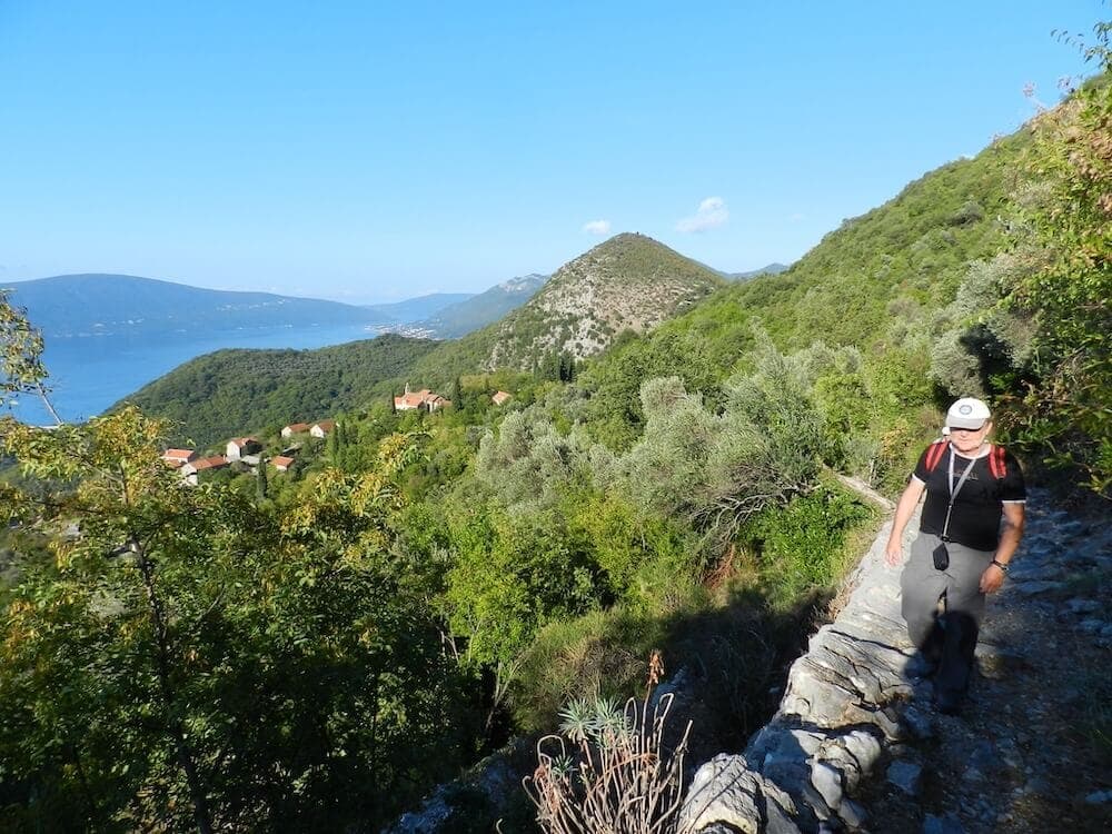
By road, Bar is about 34 minutes north by car. Podgorica Airport (TGD) is the nearest airport, roughly 45 miles by road, a drive of about 1 hour 20 minutes; Podgorica city lies about 59 km north. A direct bus links Ulcinj bus station with Podgorica Airport three times daily, taking approximately 1 hour 34 minutes for around $9. Other airports within reach include Tirana (TIA) at about 44 miles, Dubrovnik (DBV) at about 67 miles, Pristina (PRN) at about 100 miles and Skopje (SKP) at about 122 miles; Tirana is roughly 71–73 km and Tivat about 76 km by road. Within the municipality, the coast, delta and lake sit fairly close together, though the sites are spread across the 255 km² area and a vehicle helps.
The Salina became a Nature Park on 24 June 2019 and a Ramsar Site on 10 September 2019. Its birdlife is the strongest reason to plan timing: 252 species have been recorded, so migration periods in spring and autumn concentrate numbers, while summer suits the 13 km beach and the delta. The Old Town castle is open to the public. We could not verify standardised 2026 entry fees or seasonal opening schedules for the Salina Nature Park, Ada Bojana or the castle from the research sources, so treat these as unconfirmed.
Our journeys
21 journeys planned by our team in Podgorica — from gentle coastal weeks to high-mountain crossings.
Build your own trip →8 days · Hiking
7 days · Hiking
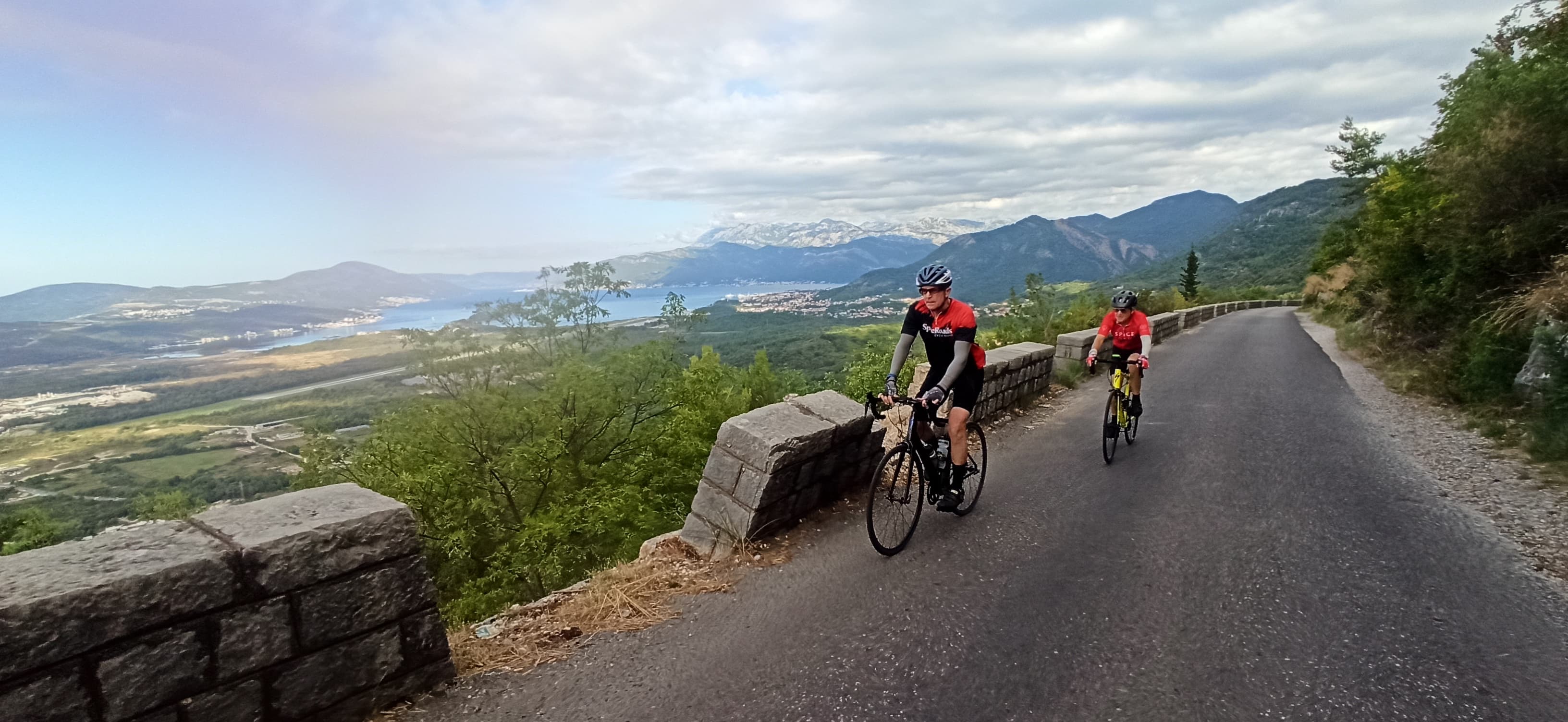
8 days · Cycling
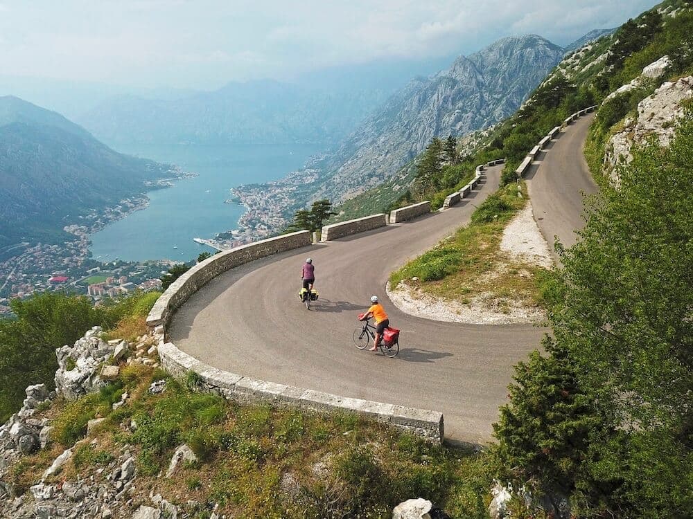
7 days · Cycling
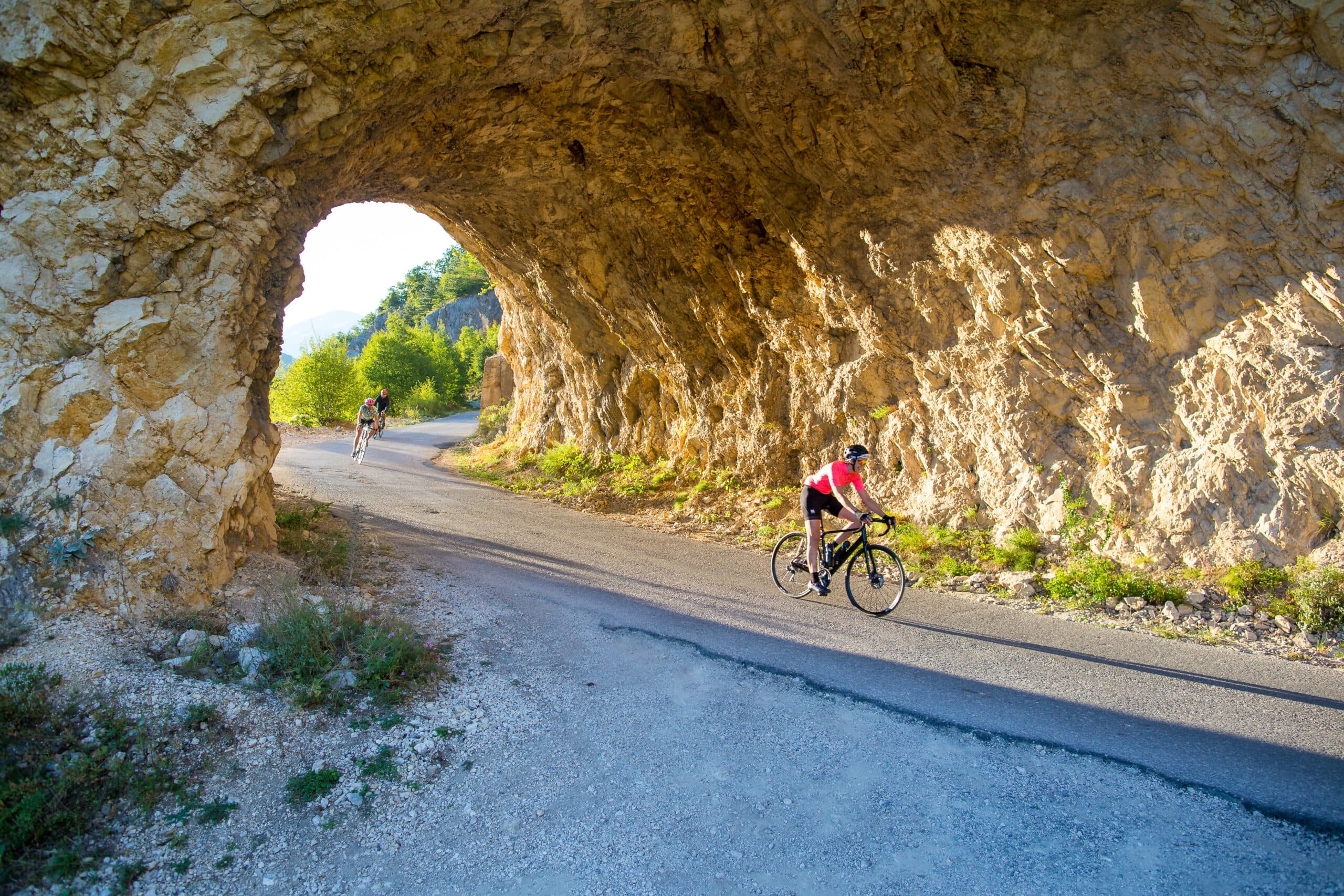
8 days · Cycling
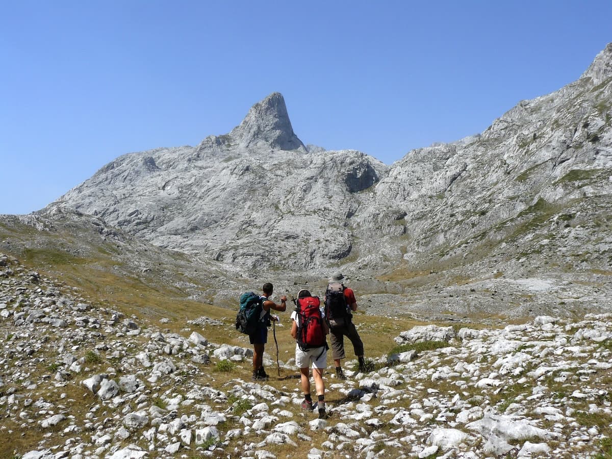
8 days · Hiking
8 days · Cycling
7 days · Cycling
7 days · Hiking
1 day · Cycling
1 day · Cycling
1 day · Cycling
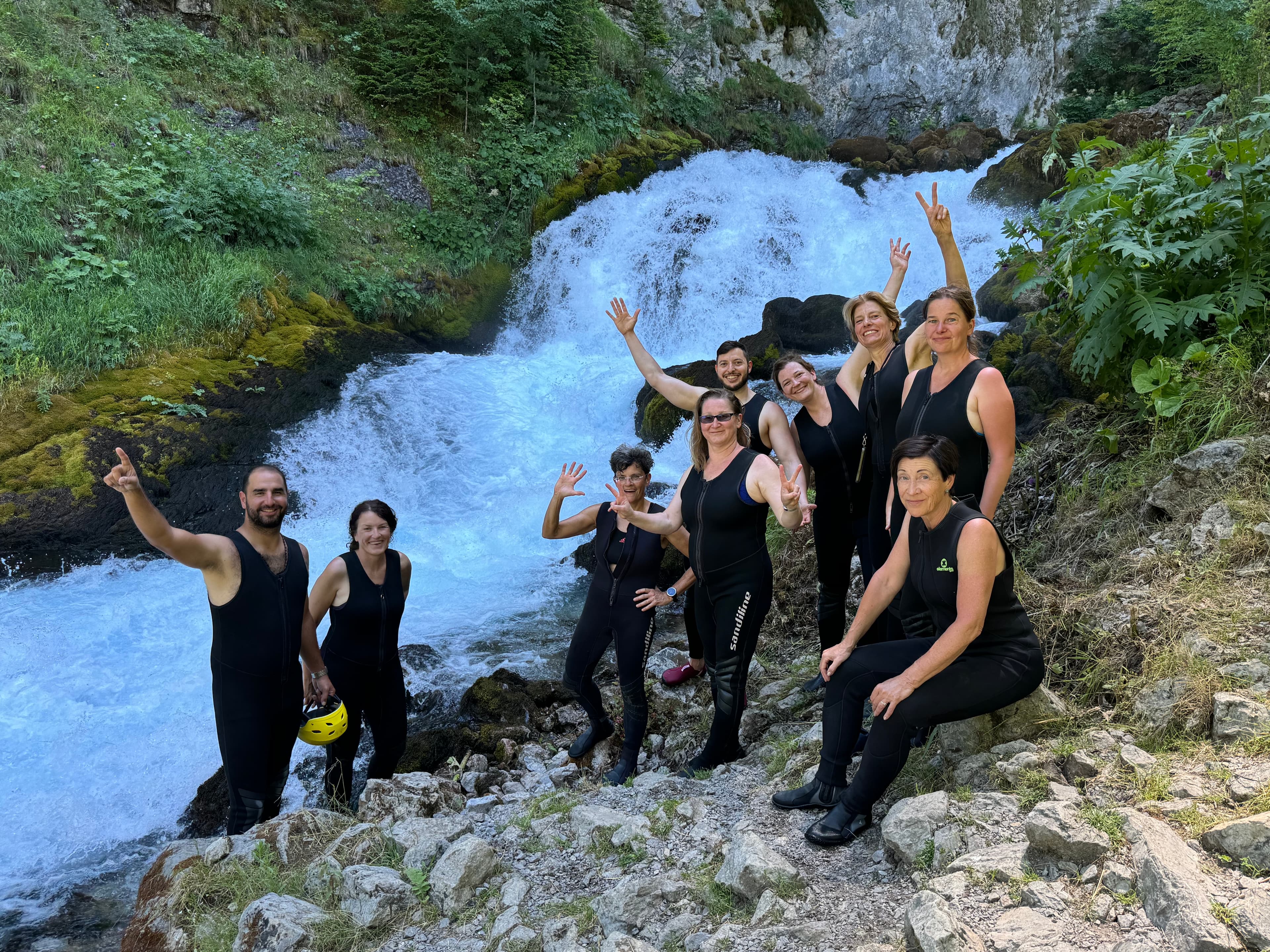
9 days · Cycling
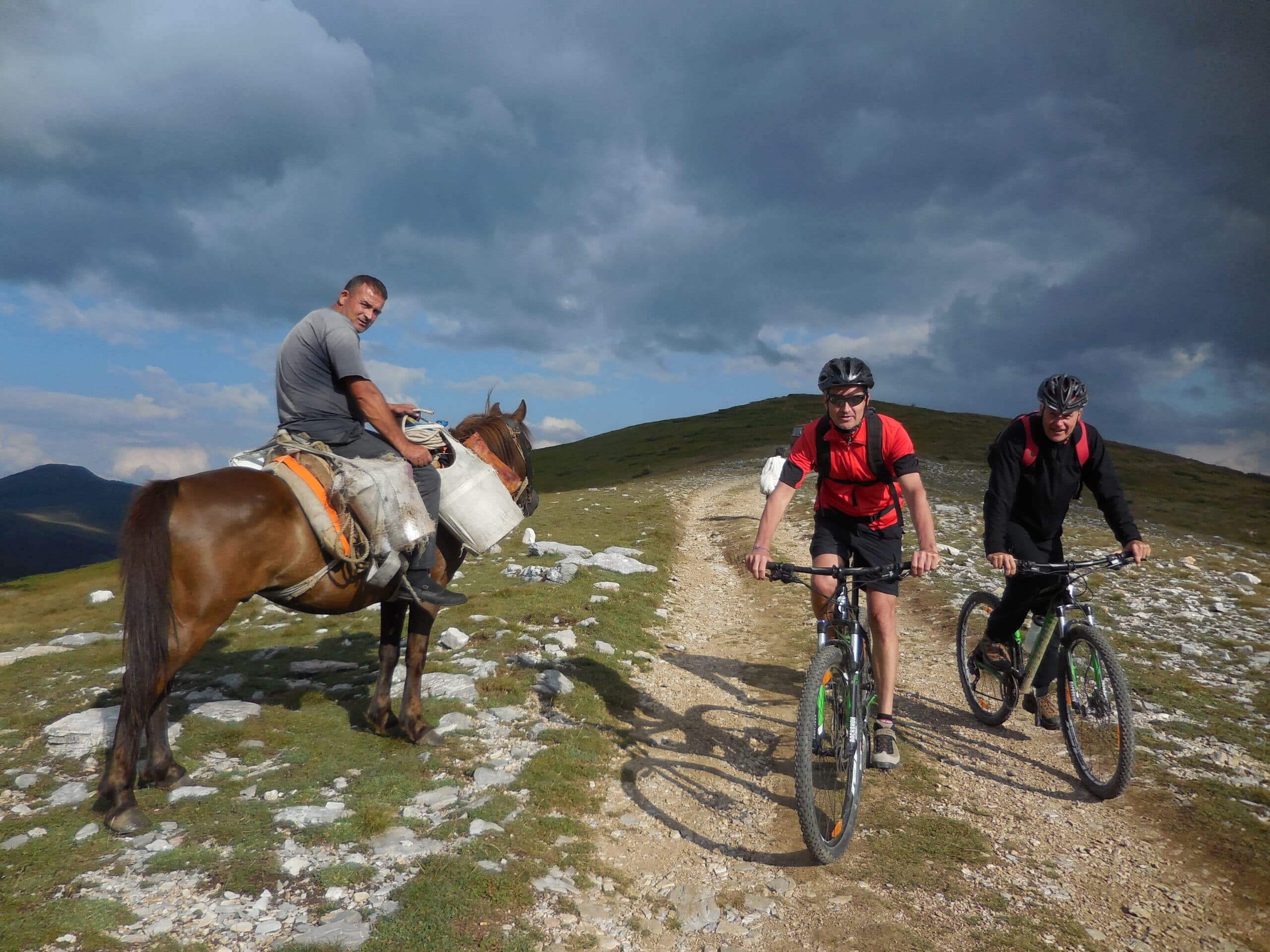
8 days · Cycling
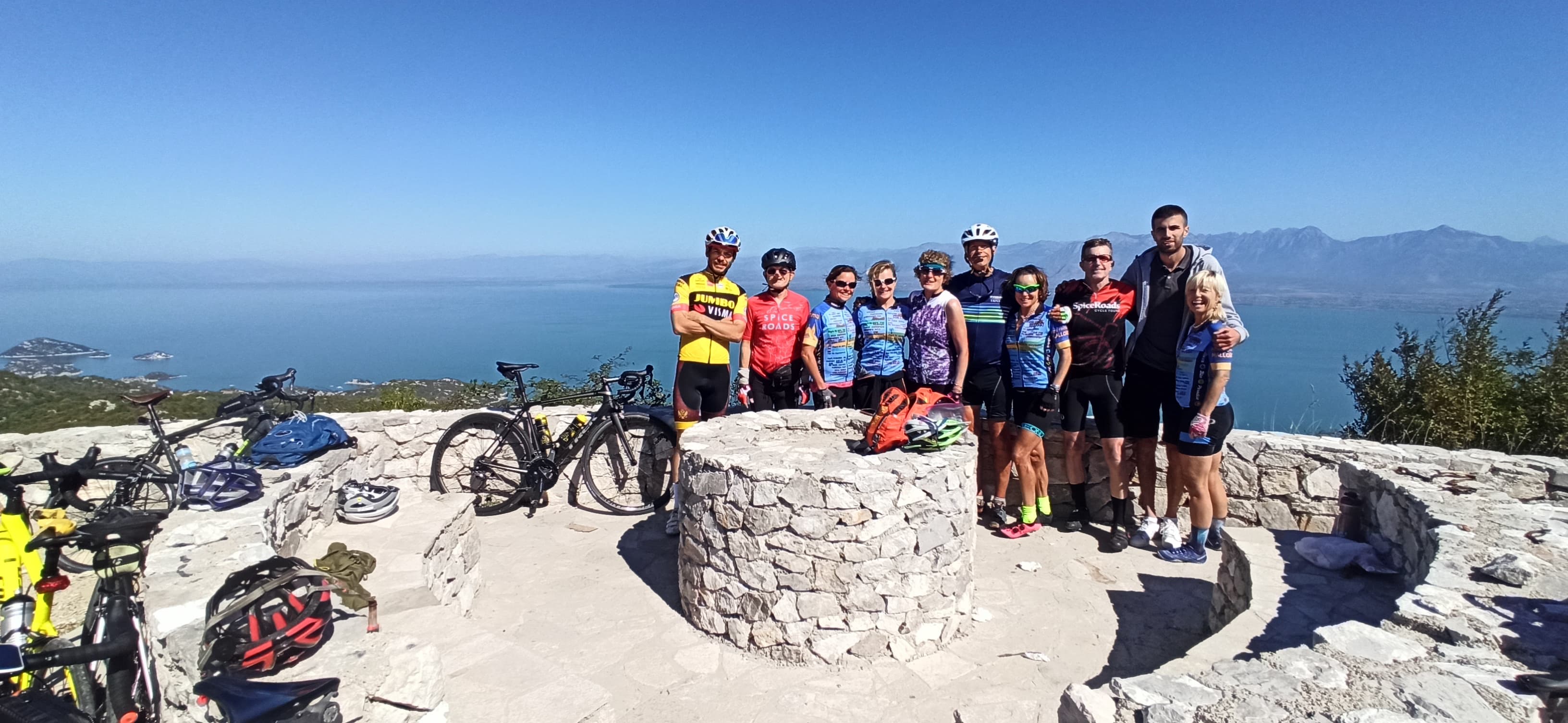
7 days · Cycling
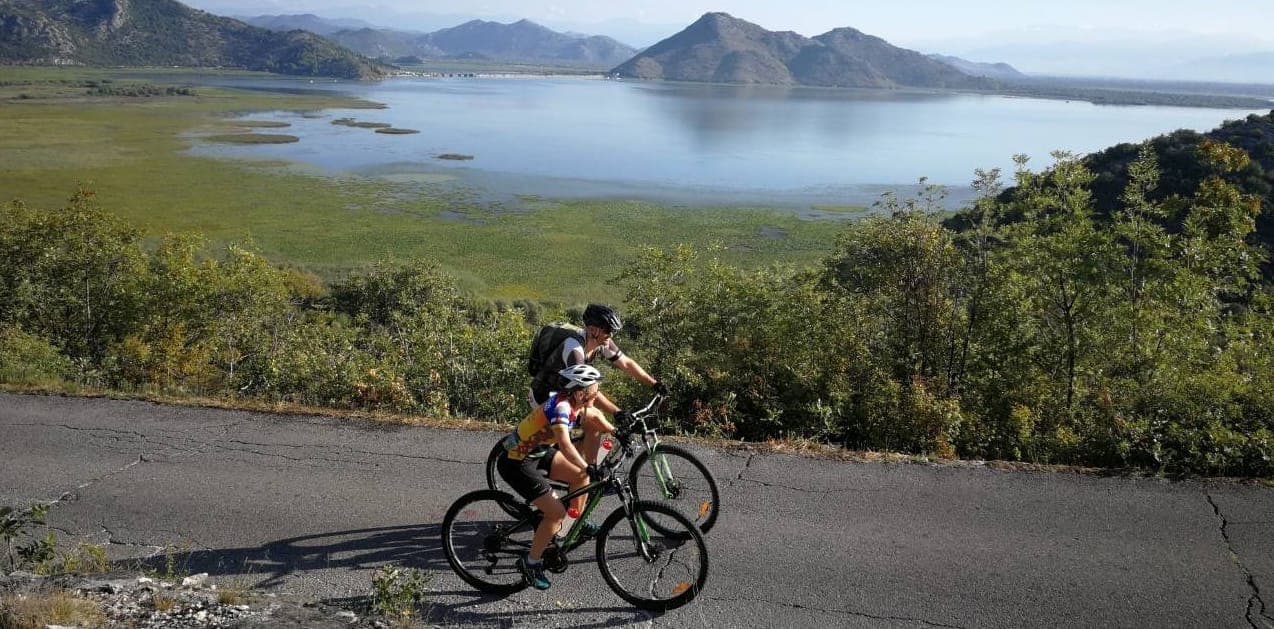
7 days · Cycling
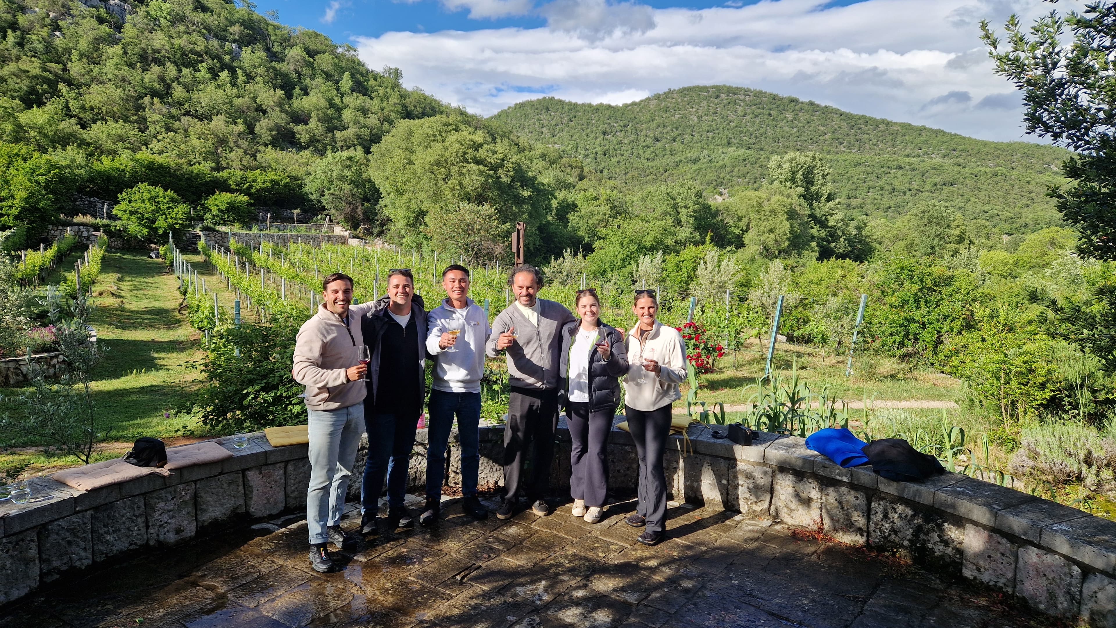
1 day · Multi-activity
from € 160,- / per person
Meet your guides
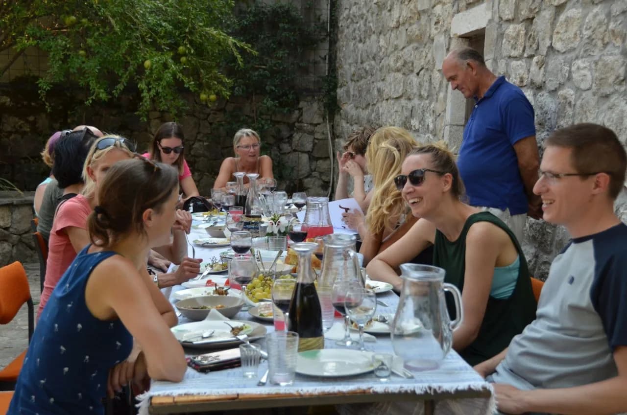
We live in Ulcinj. We walk these trails, ride these roads and eat in these konobas every week. When you book with us, you’ll usually speak directly to one of the people who’ll be guiding you.
Meet the whole team →
Management
Quality assurance, sales and communication.

Management
Product development, sustainability and marketing.

Tour operations manager
Backoffice — keeps every trip running smoothly on the ground.

Reservations & group tour operations
Backoffice — bookings, group logistics and guest care.
Tell us roughly when, who's travelling and what kind of pace you like. We'll send back a draft itinerary within 1–2 days, no payment until you're happy with the plan.
Plan your trip