


Montenegro
8 days · Hiking
From the Bay of Kotor to Lake Skadar – Historical trade and military trails
▲▲▲▲▲Moderate
Walking · Hiking · Cycling · Montenegro
Walking, hiking and cycling holidays in Orahovac, self-guided or with a local guide. Orahovac is a fishing village on the inner Bay of Kotor, on the coastal road between Dobrota and Perast. It has a 150-metre stony beach, a 15th-century church set on a limestone cliff, and freshwater springs feeding the neighbouring settlements. The population was 298 at the 2011 census in Donji Orahovac. The road is roughly 12 km from Kotor, mostly flat, and the setting makes it a working base for walks and rides along the northern shore of the bay.
Why Orahovac
We've spent years walking, hiking and cycling across Orahovac in every season. The trips below are built around the routes that work — the quiet ones, the beautiful ones, the ones with great food at the end of the day.
If none of them quite fit, get in touch. We'll happily build you a private version, shaped around your interests, fitness and pace.
How we travel here
Walking
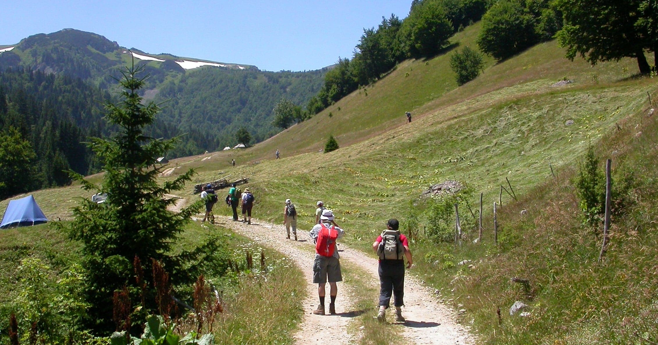
Coastal trails, village paths and slow days on foot, with time to stop.
Hiking
Mountain trails, hut-to-hut days and summit walks, graded honestly.
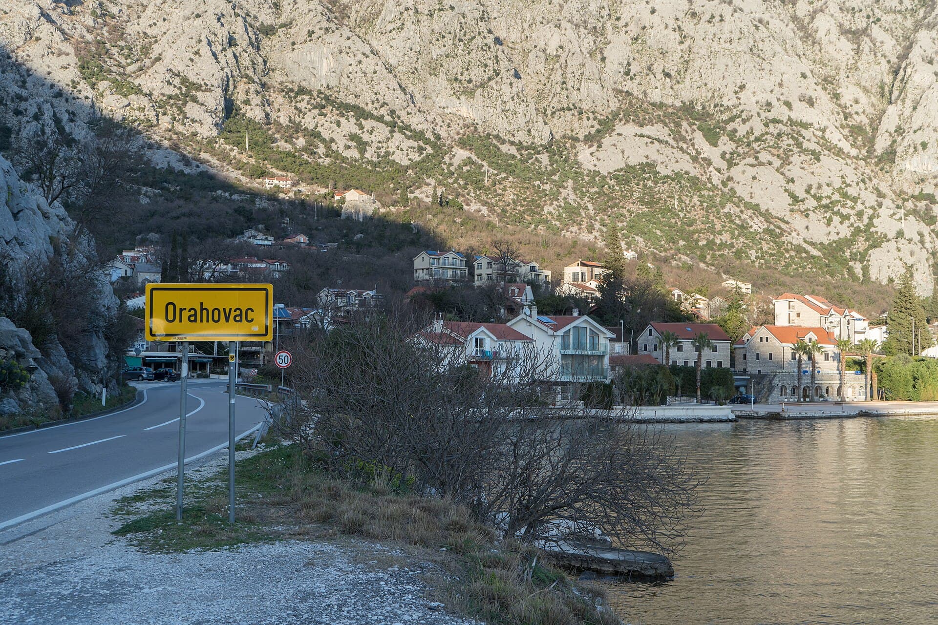
Cycling
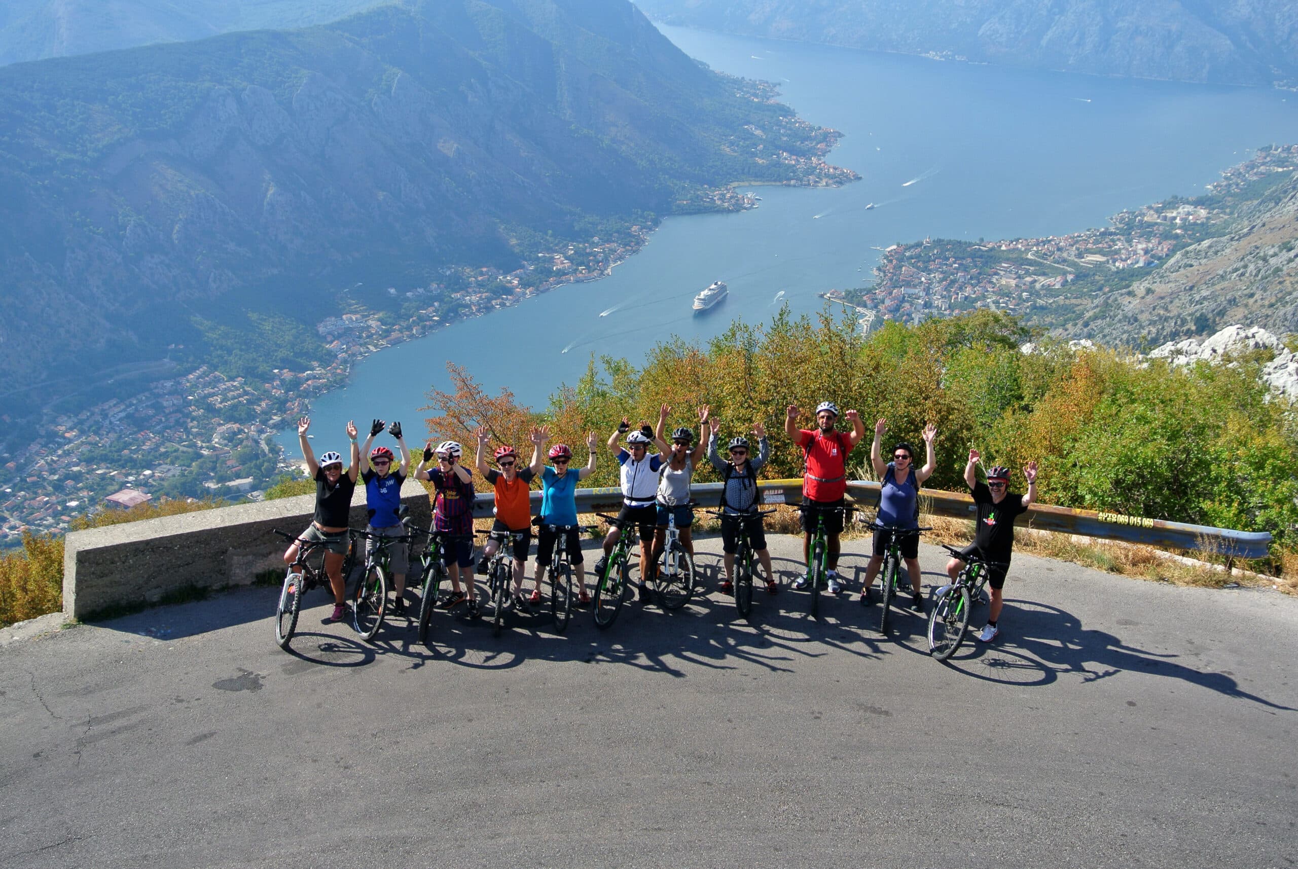
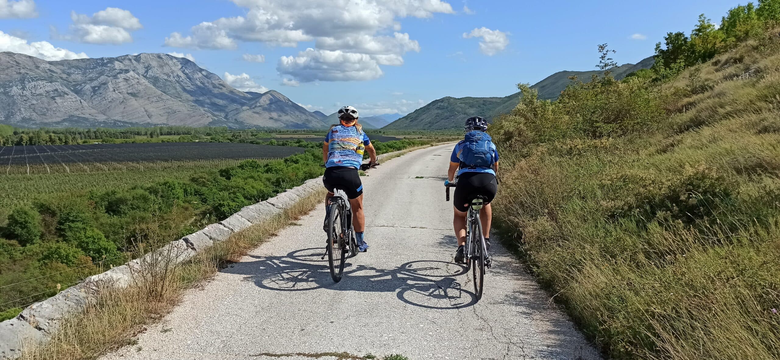
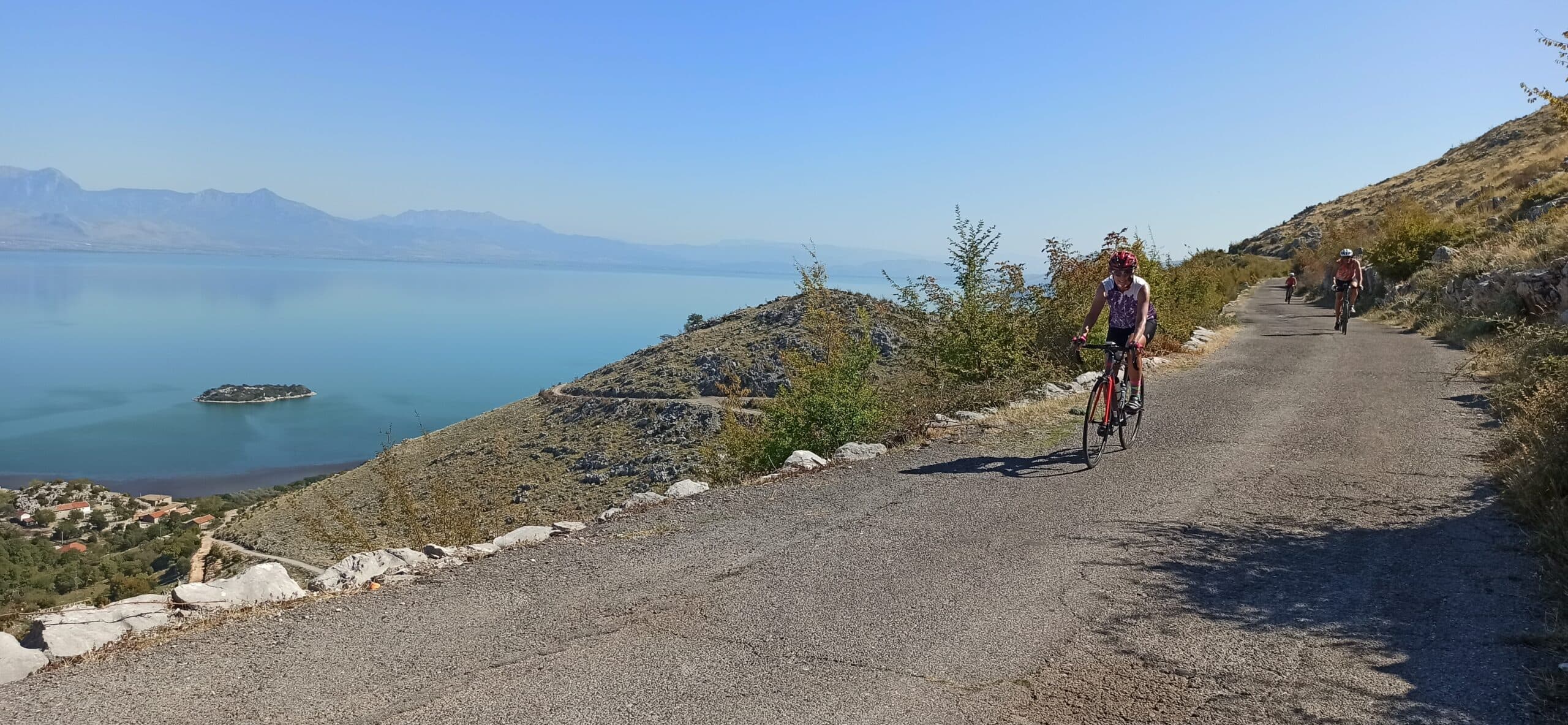
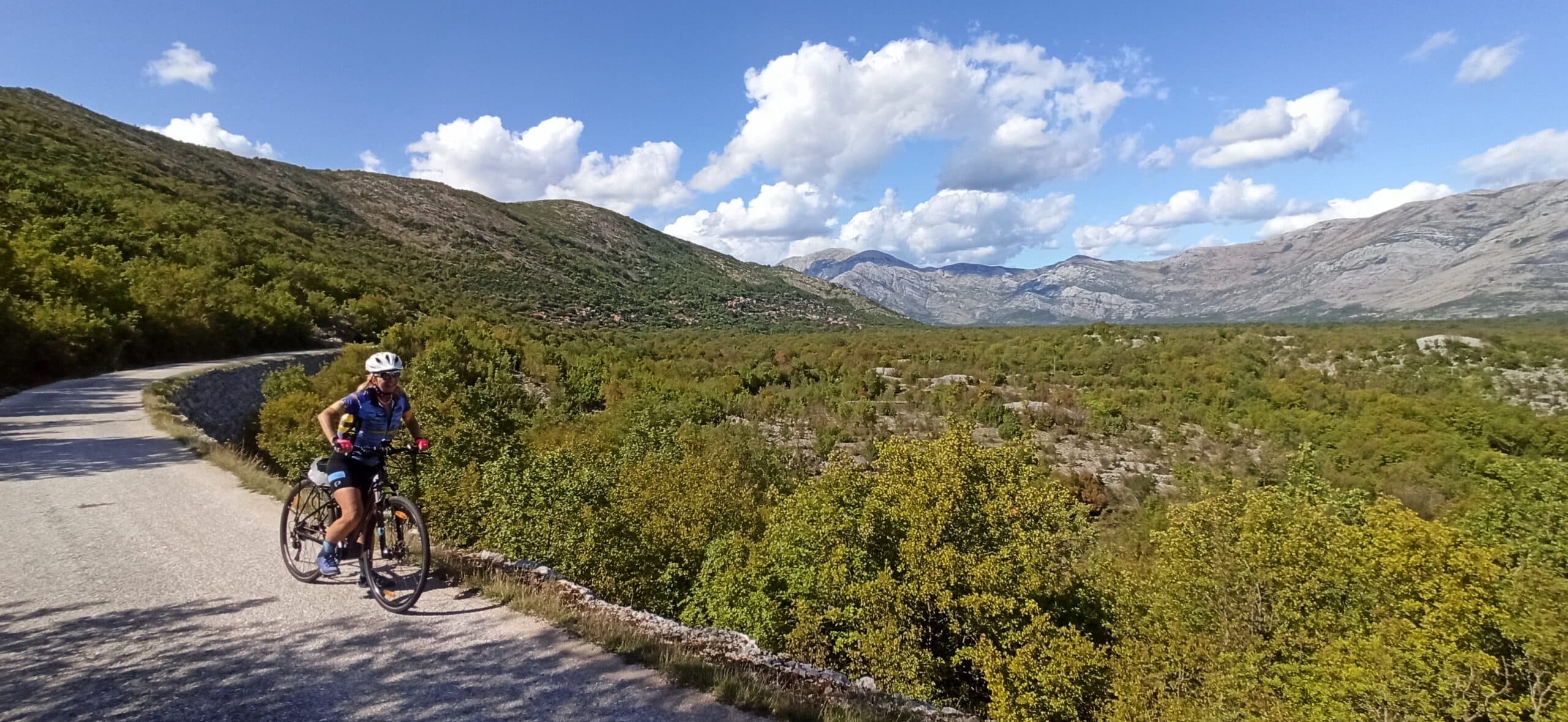
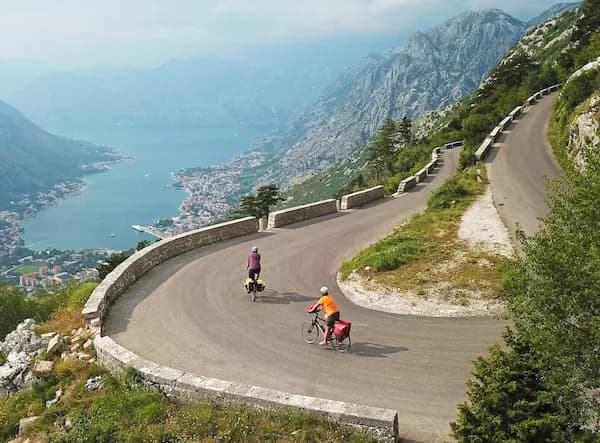
Quiet back roads and gravel routes — road, gravel and e-bike, with luggage moved between stays.
Travel guide
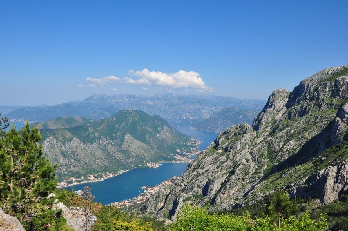
Orahovac is a coastal village in Kotor municipality, not a protected area, so there is no park designation, entry fee or season to plan around. It sits at the northern part of the Bay of Kotor, in the stretch that runs from Ljuta to Perast, and is split into two settlements: Donji (Lower) Orahovac on the shore and Gornji (Upper) Orahovac in the hinterland. The name is first recorded in the 15th century, and comes from the walnut trees ("orah") that once covered the surrounding hills. The upper settlement formed first, the coastal area later. The Ljuta river separates Orahovac from Dobrota to the south and marks the entrance to this part of the bay; Perast lies to the north. Donji Orahovac recorded 298 residents in the 2011 census, and 257 permanent residents in 2003. There are no named lakes and no official flora or fauna inventory, because this is a residential and tourist village rather than a national park.
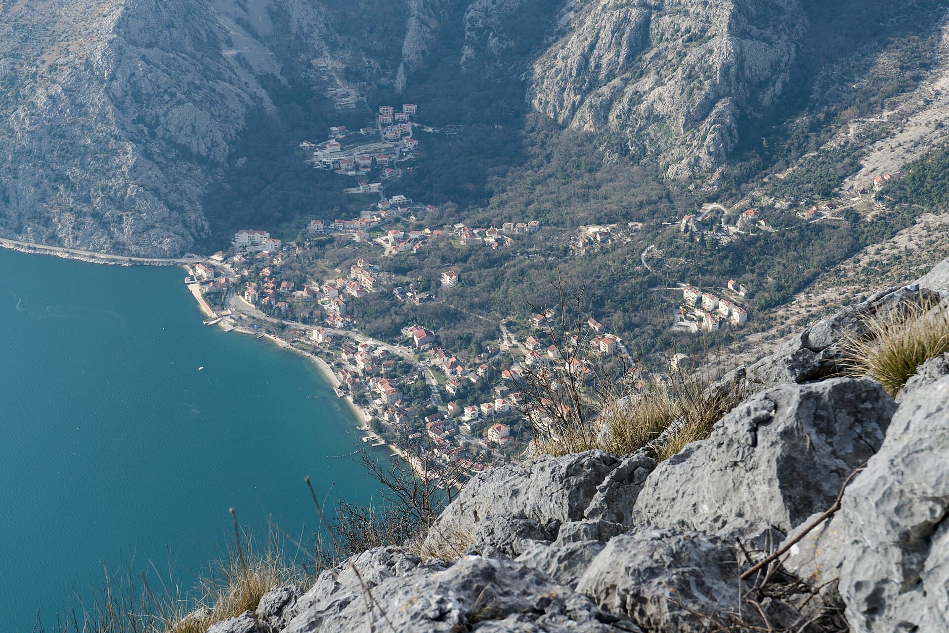
The village bathing spot, Orahovac Beach, runs about 150 metres along the inner bay road between Dobrota and Perast. It has a stony foreshore, a sunbed concession and a beach bar on the larger stretch. Above the village, on a 150-metre limestone cliff, stands St George's Church (Sveti Đorđe), built in the 15th century. It holds frescoes from the 15th and 16th centuries and an iconostasis carved by local artist Spiro Đuranović. At water level, the Ljuta (Orahovačka ljuta) belongs to the group of Orahovac springs, sitting next to the Perast–Kotor road; the springs are of ascending siphon character and supply fresh water to most of the neighbouring settlements. The two settlements — Donji Orahovac on the shore and Gornji Orahovac in the hinterland — reflect the older pattern of Bokelian villages, with the upper part formed first and the coastal urban area added later.
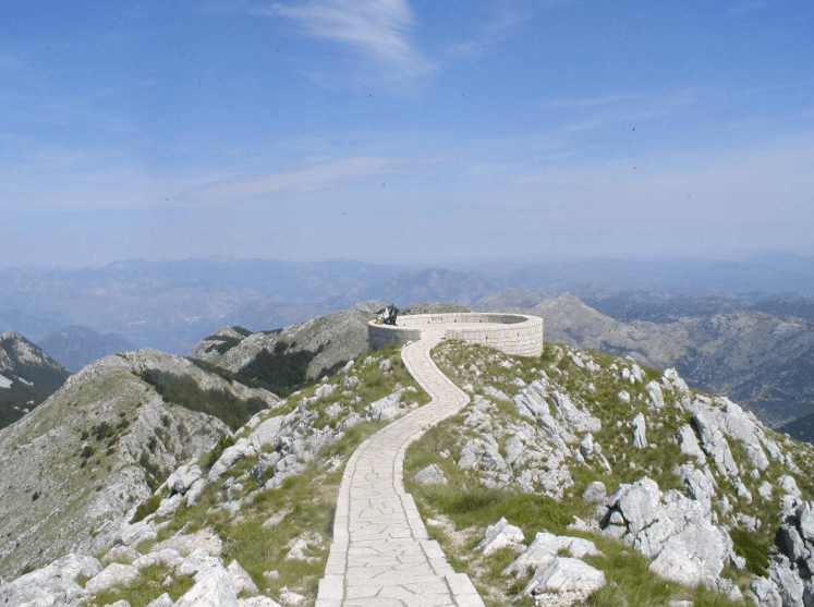
The marked route from Donji Orahovac to Perast via Vranovo Brdo is a 5.9-mile (about 9.5 km) point-to-point trail, rated challenging, with an average time of 4 hours 12 minutes. A recorded loop variant, Orahovac to Perast returning by bus, covers 8.27 miles (about 13.3 km) with roughly 755 metres of ascent and a moving time near six hours. For cyclists, a longer road ride from the village to Jezerski vrh runs 41 km with 1,689 metres of climbing. Along the shore itself, the coastal road from Kotor toward Perast is about 12 km and mostly flat, taking around 40 minutes by bike. Carry water, sun cover and shoes with grip for the stony stretches; the cliff paths above the village gain height quickly.
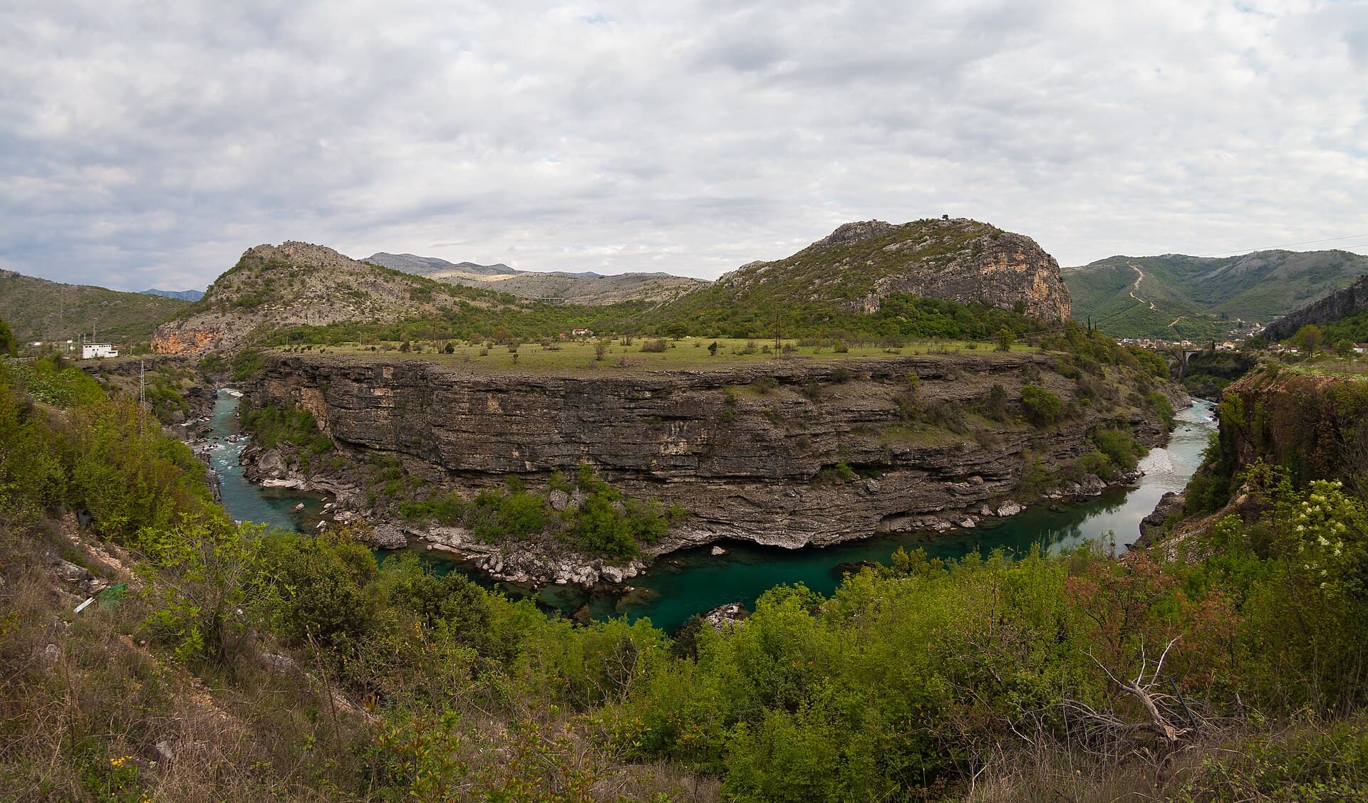
Alexkom000 · CC BY 4.0 · Wikimedia Commons
Orahovac lies on the inner Bay of Kotor coastal road, between Dobrota and Kotor to the south and Perast to the north. From Kotor it is about 12 km, and the road is mostly flat. The nearest airport is Tivat (TIV). There is public transport between Tivat Airport and Kotor, the closest city to the airport, with a bus running from Tivat Bus Station to Kotor once daily and a journey time of around 15 minutes; the onward stretch from Kotor to Orahovac is along the coastal road. Public transport within Orahovac itself is limited, with local buses connecting to nearby towns such as Kotor, so renting a car is the practical alternative. For orientation on the bay, Perast to Kotor is about 9 km in a straight line, with Perast at 29 metres above sea level and Kotor at 5 metres.
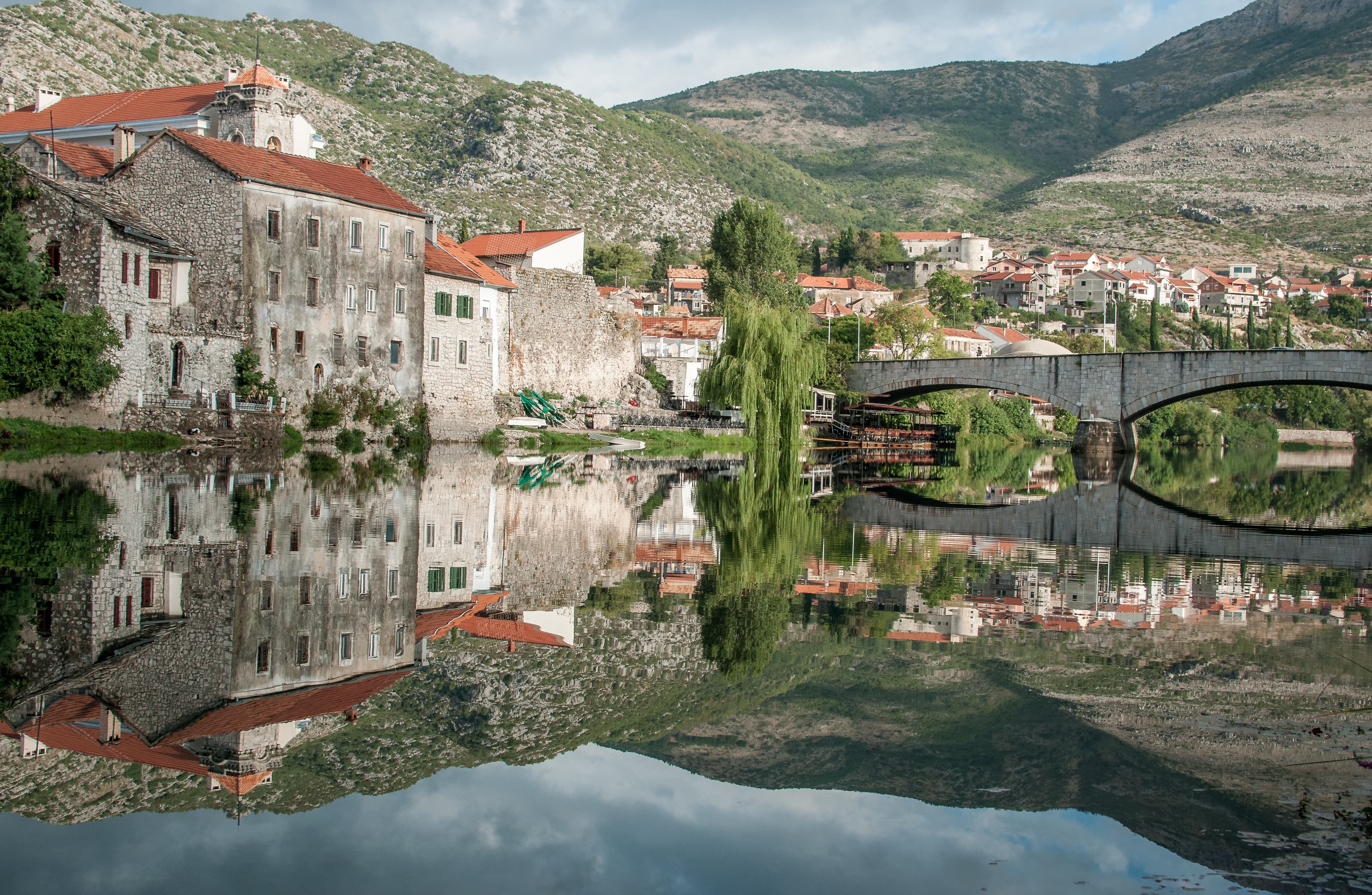
Alexkom000 · CC BY 4.0 · Wikimedia Commons
Orahovac is a village on a public road, not a park, so there is no entry fee, no opening season and no ticket to buy for the village or its trails. Any charges apply only to private beach concessions — sunbeds and the beach bar on the larger stretch of the 150-metre beach. The bathing season on the bay runs through the warmer months, when the beach concession and bar operate; walking and cycling are possible outside that window, though the cliff paths above the village are steep and best avoided in wet conditions. Spring and autumn suit the longer routes to Perast and Jezerski vrh, when temperatures are lower for climbs of several hundred metres.
Our journeys
21 journeys planned by our team in Podgorica — from gentle coastal weeks to high-mountain crossings.
Build your own trip →8 days · Hiking
7 days · Hiking
8 days · Cycling
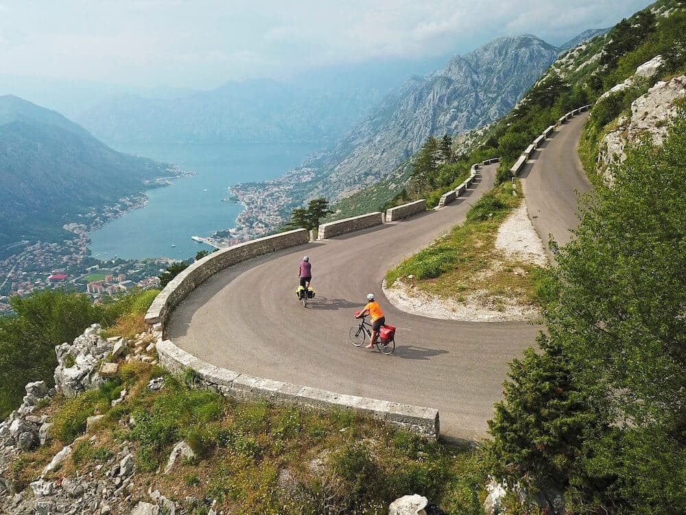
7 days · Cycling
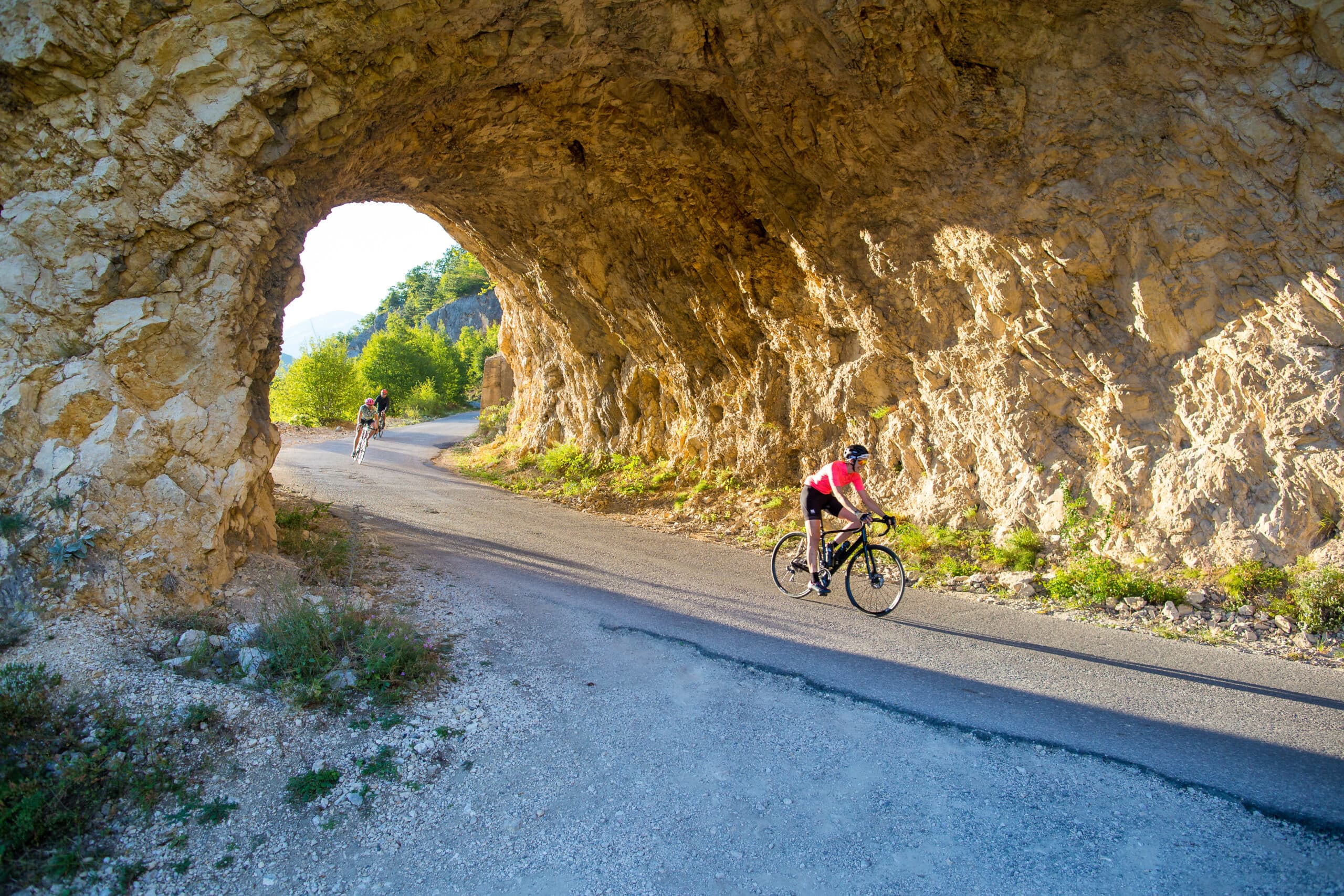
8 days · Cycling
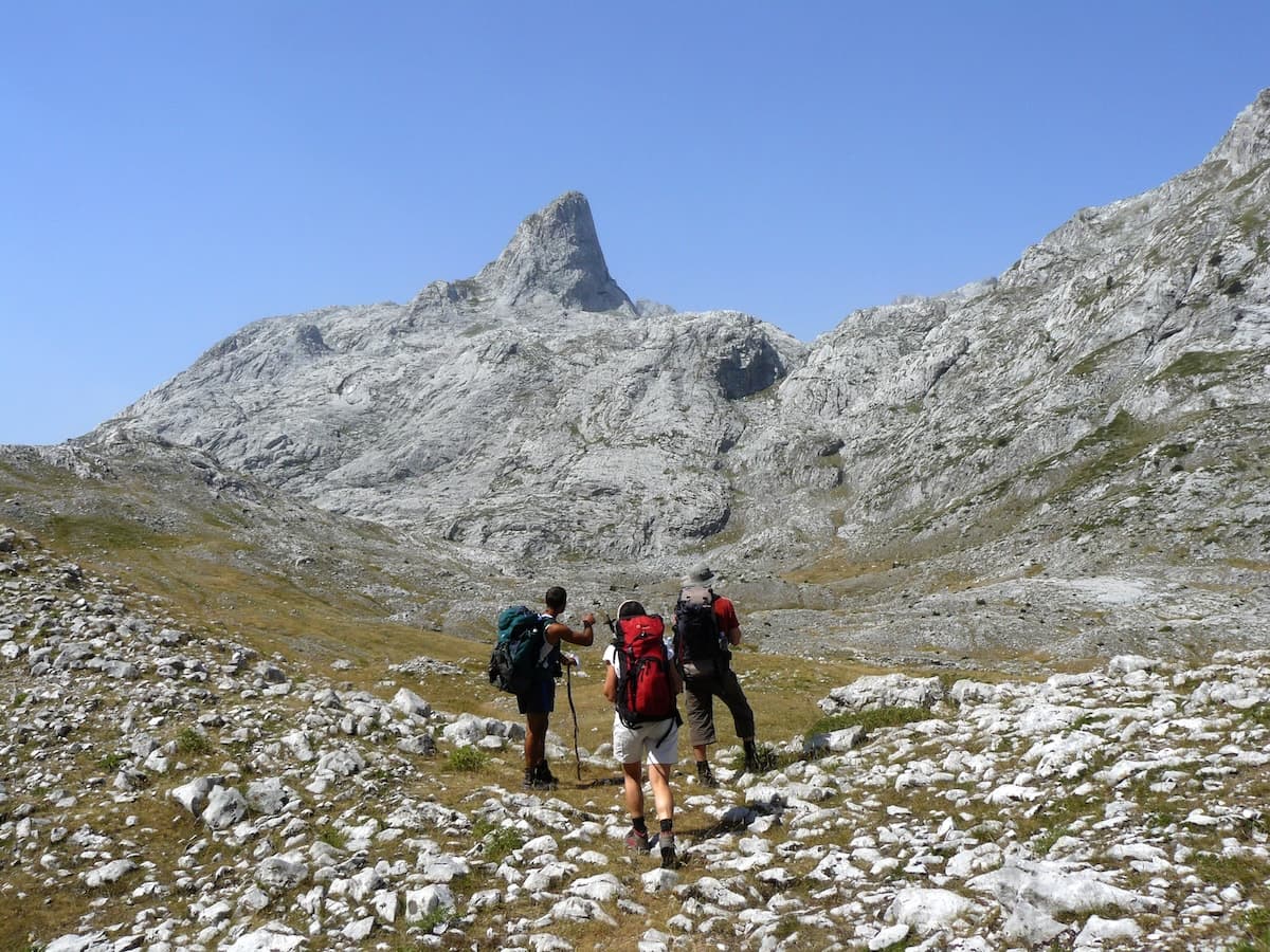
8 days · Hiking
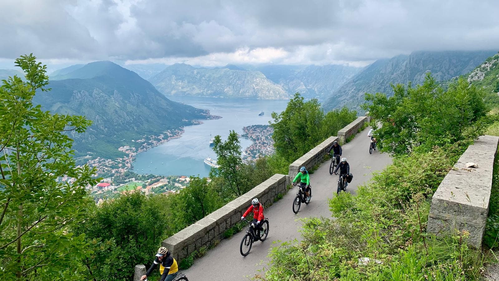
8 days · Cycling
7 days · Cycling
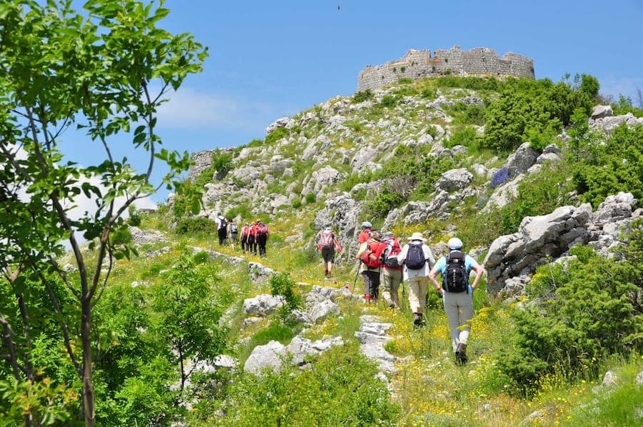
7 days · Hiking
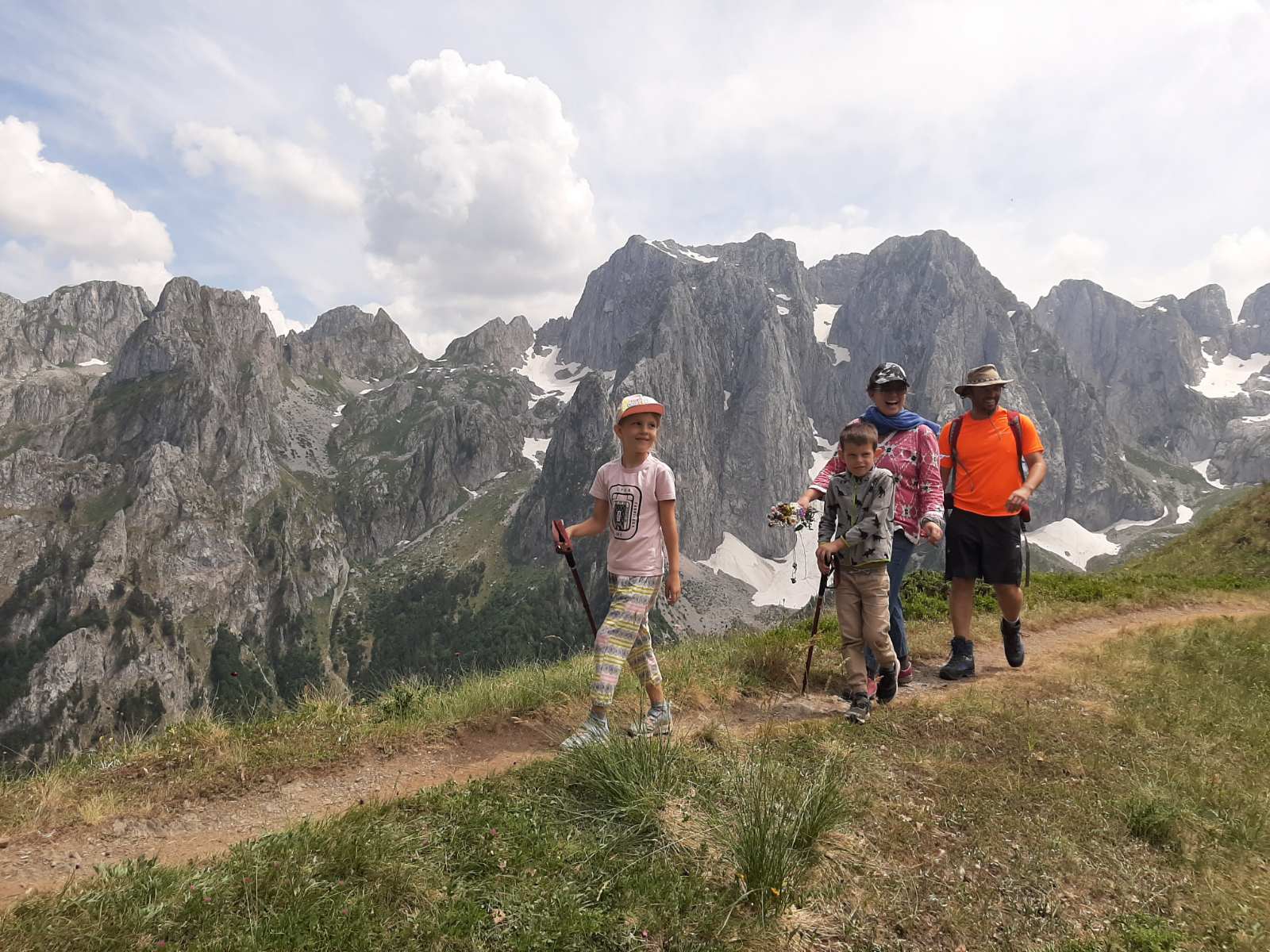
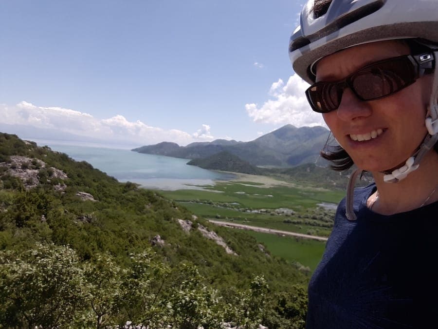
1 day · Cycling
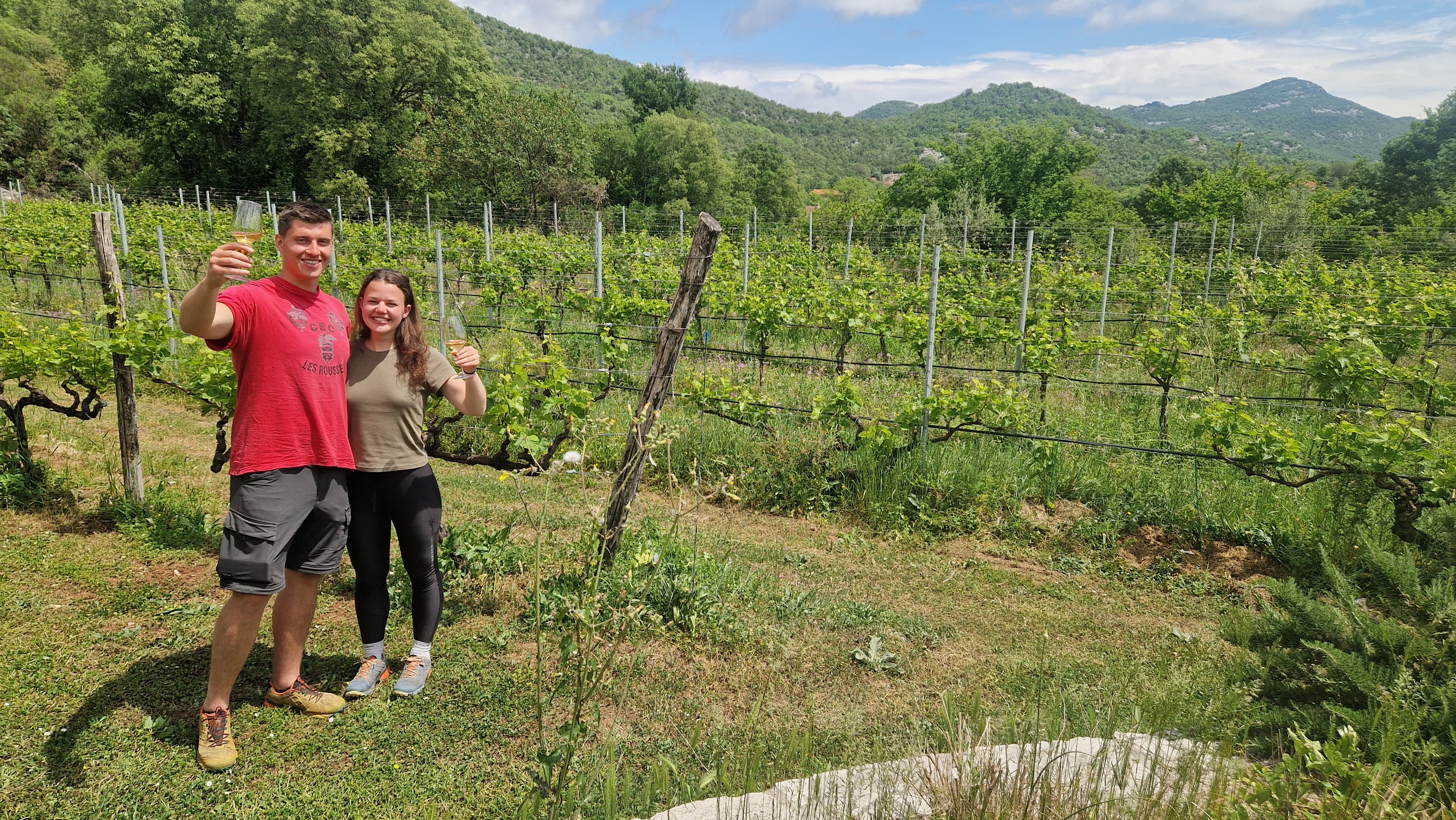
1 day · Cycling
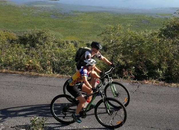
1 day · Cycling
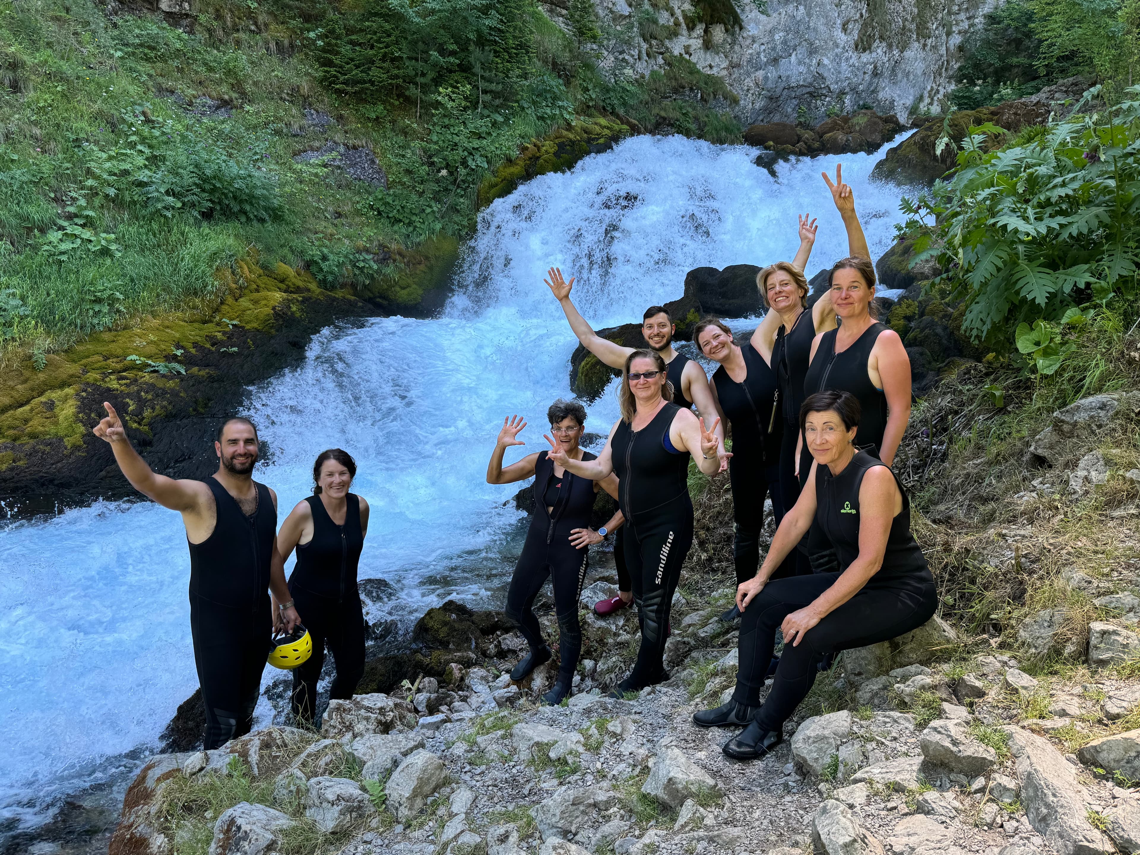
9 days · Cycling
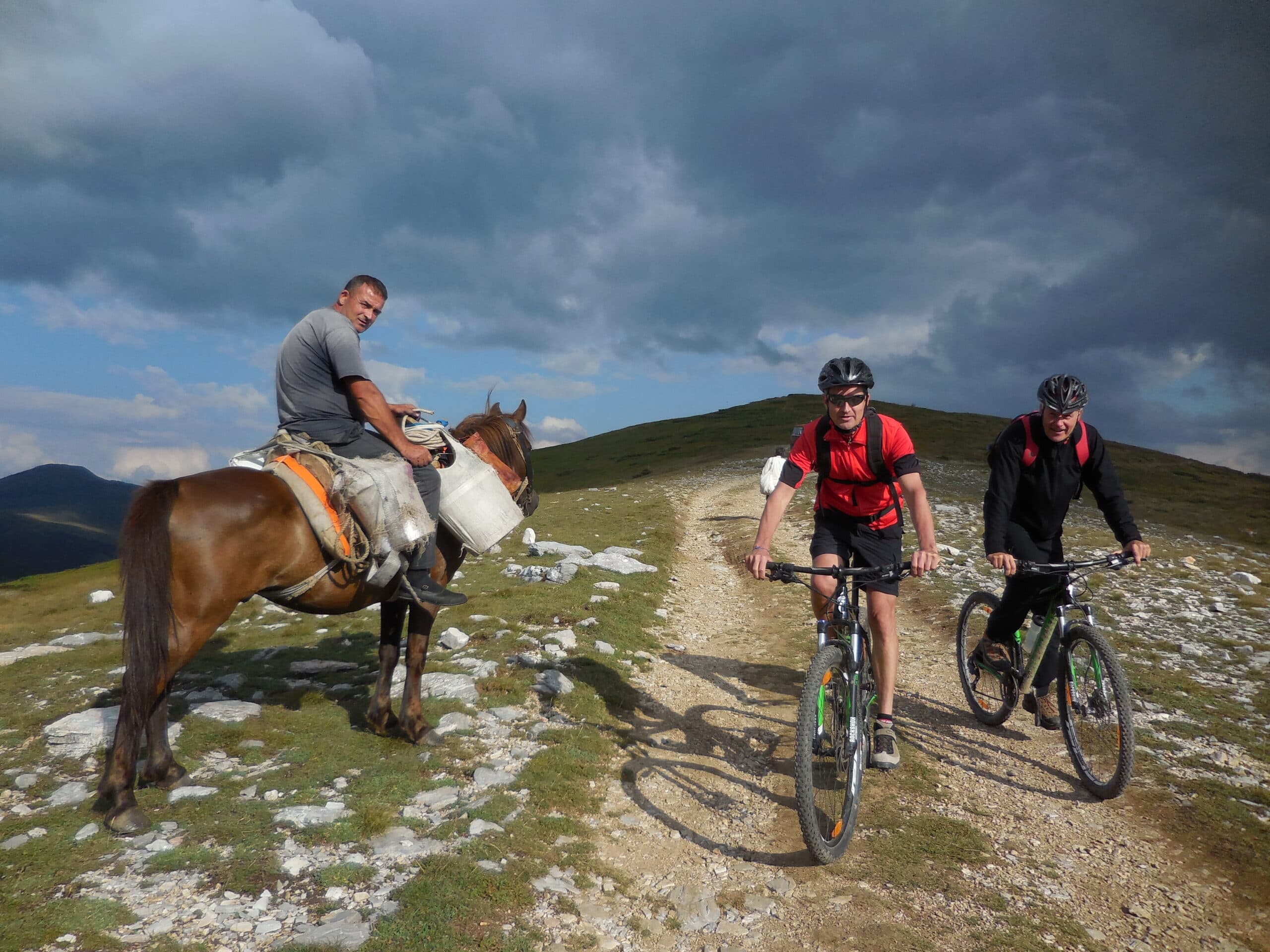
8 days · Cycling
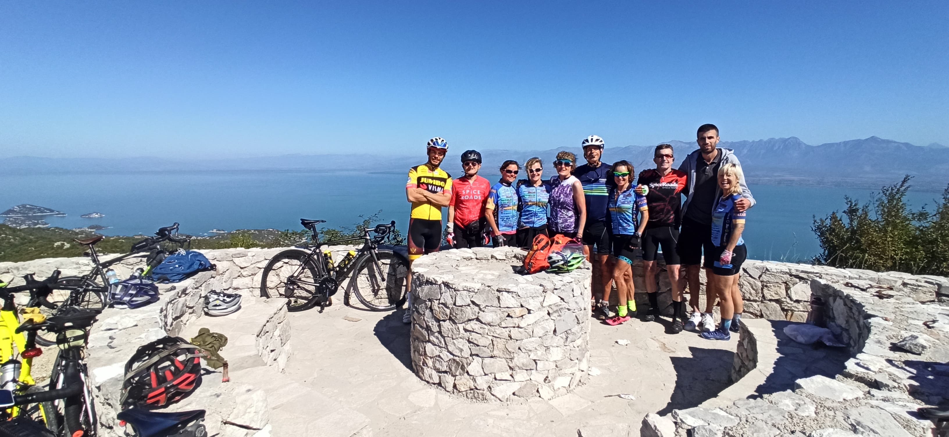
7 days · Cycling
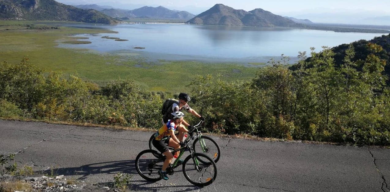
7 days · Cycling
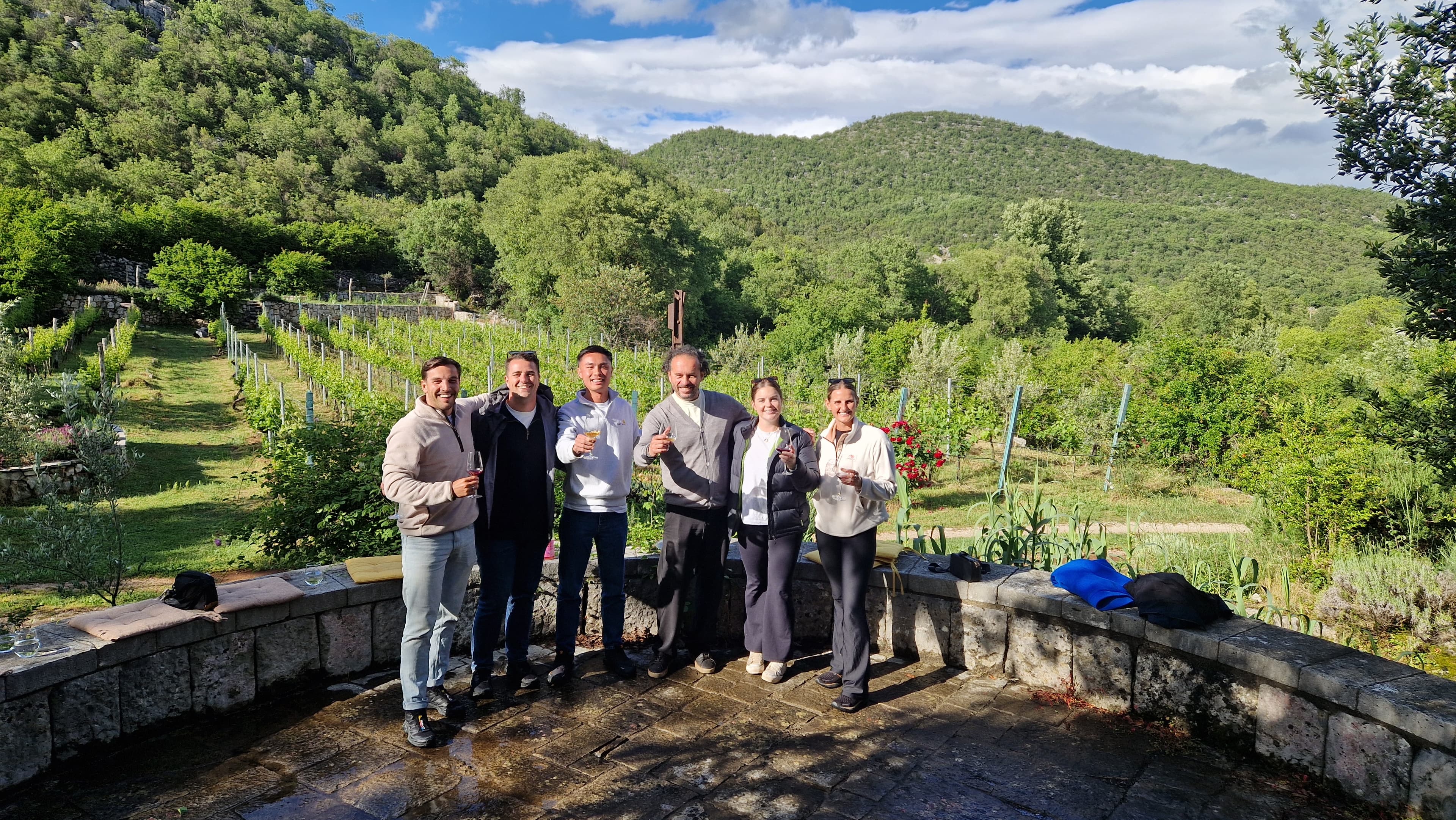
1 day · Multi-activity
from € 160,- / per person
Meet your guides
We live in Orahovac. We walk these trails, ride these roads and eat in these konobas every week. When you book with us, you’ll usually speak directly to one of the people who’ll be guiding you.
Meet the whole team →
Management
Quality assurance, sales and communication.

Management
Product development, sustainability and marketing.

Tour operations manager
Backoffice — keeps every trip running smoothly on the ground.

Reservations & group tour operations
Backoffice — bookings, group logistics and guest care.
Tell us roughly when, who's travelling and what kind of pace you like. We'll send back a draft itinerary within 1–2 days, no payment until you're happy with the plan.
Plan your trip