


Montenegro
8 days · Hiking
From the Bay of Kotor to Lake Skadar – Historical trade and military trails
▲▲▲▲▲Moderate
Walking · Hiking · Cycling · Montenegro
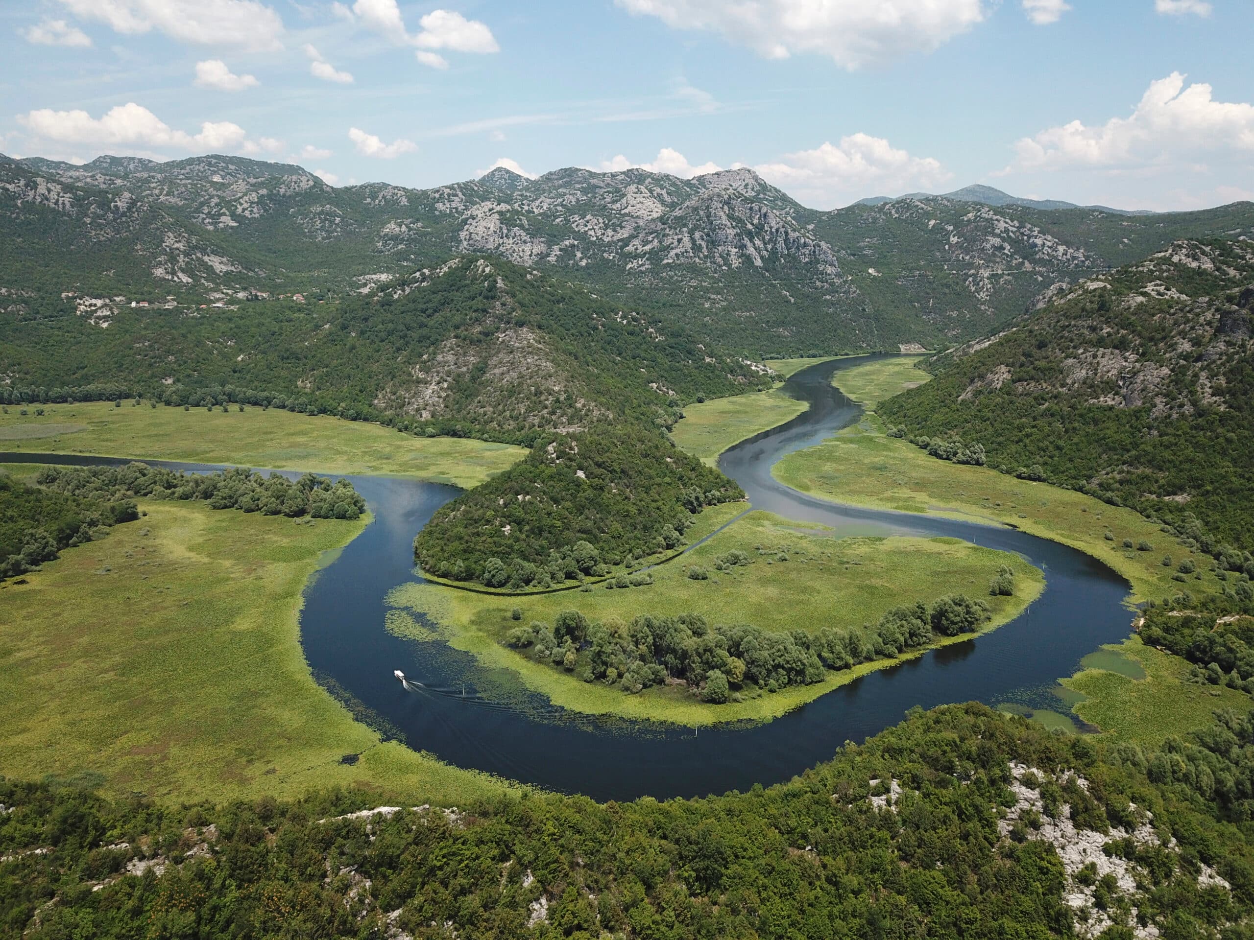
Walking, hiking and cycling holidays in Mojkovac, self-guided or with a local guide. Mojkovac sits at 853 metres in northern Montenegro, a small town of 2,506 people at the road and rail crossing between the coast, Podgorica and Serbia. Its reason for the journey lies on the Bjelasica massif next door: Biogradska Gora National Park, one of Europe's last stands of virgin forest, with glacial lakes, 500-year-old trees and eight peaks above 2,000 metres. Add a 1916 battlefield in the town's own name, and you have a base for walking, cycling and forest days.
Why Mojkovac
We've spent years walking, hiking and cycling across Mojkovac in every season. The trips below are built around the routes that work — the quiet ones, the beautiful ones, the ones with great food at the end of the day.
If none of them quite fit, get in touch. We'll happily build you a private version, shaped around your interests, fitness and pace.
How we travel here
Walking
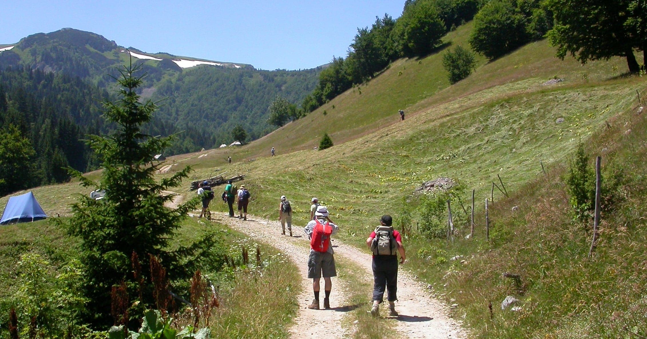
Coastal trails, village paths and slow days on foot, with time to stop.
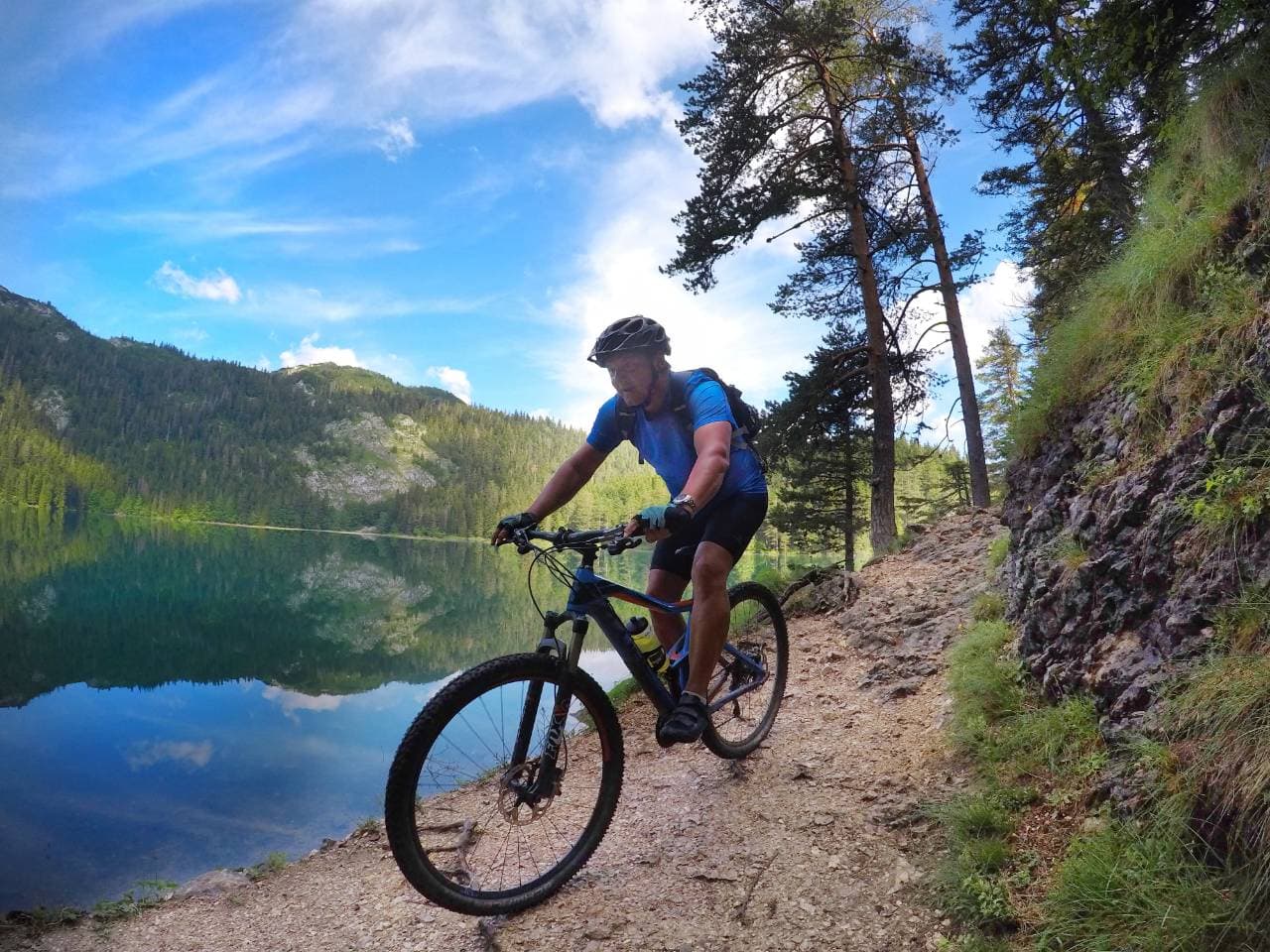
Hiking
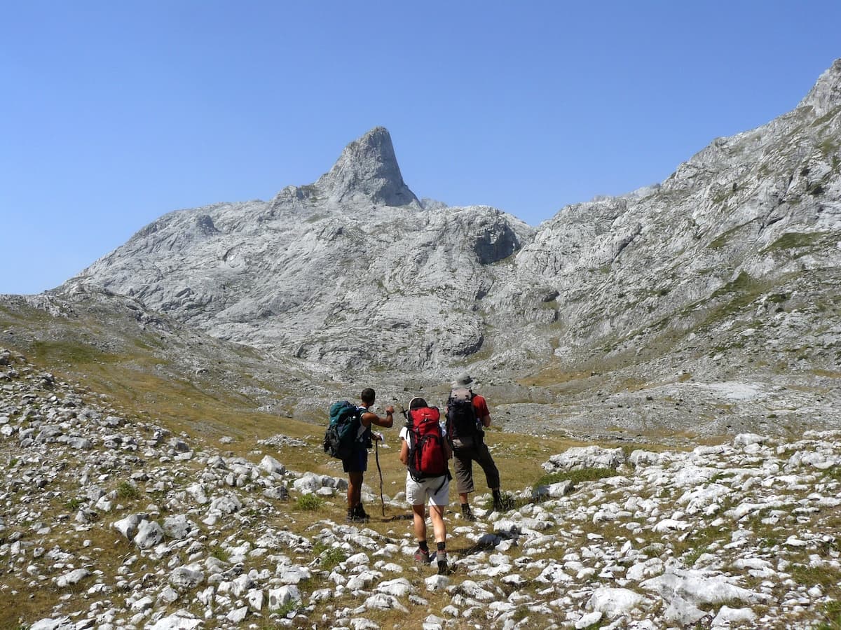
Mountain trails, hut-to-hut days and summit walks, graded honestly.
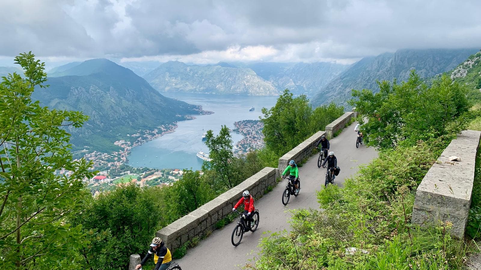
Cycling
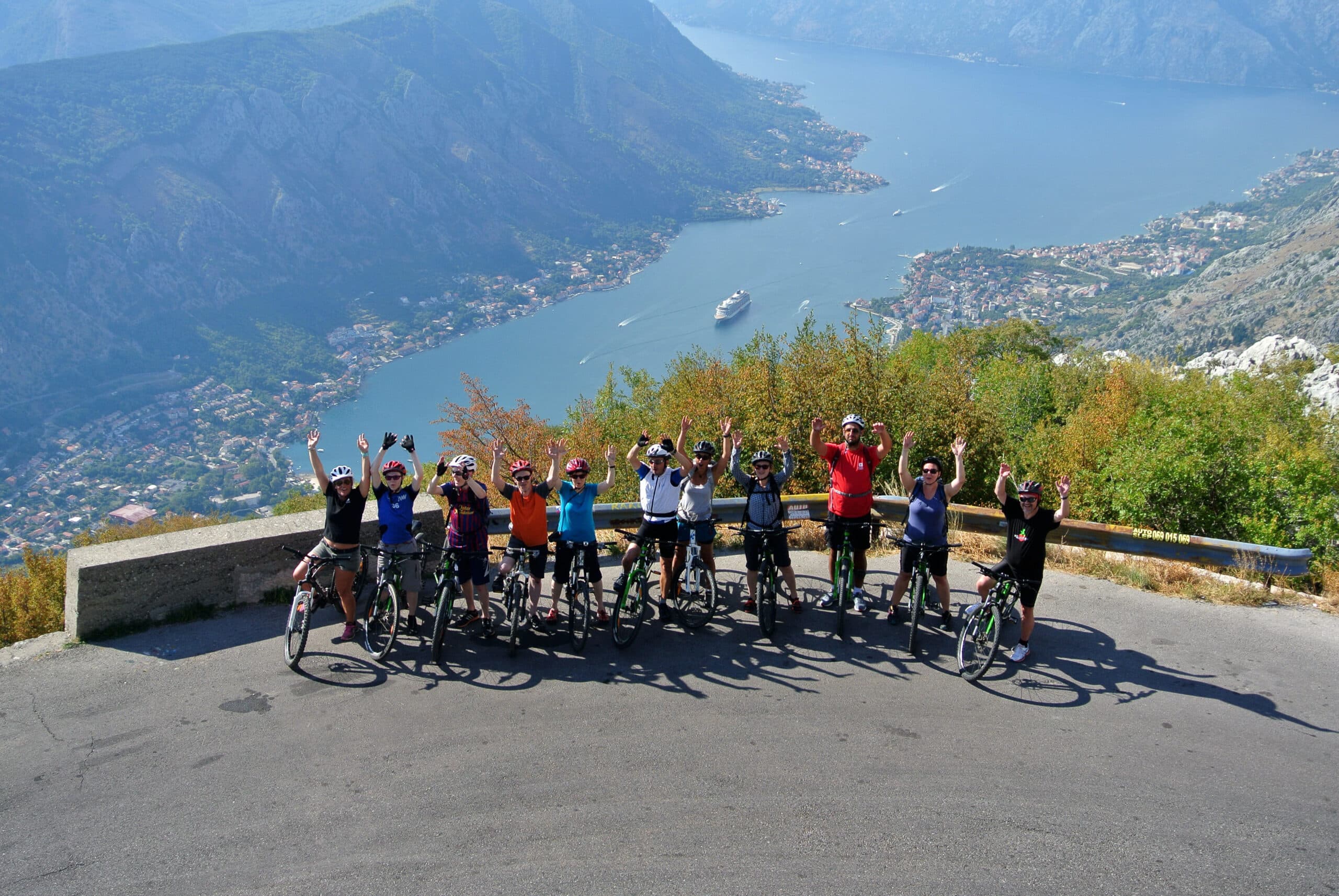
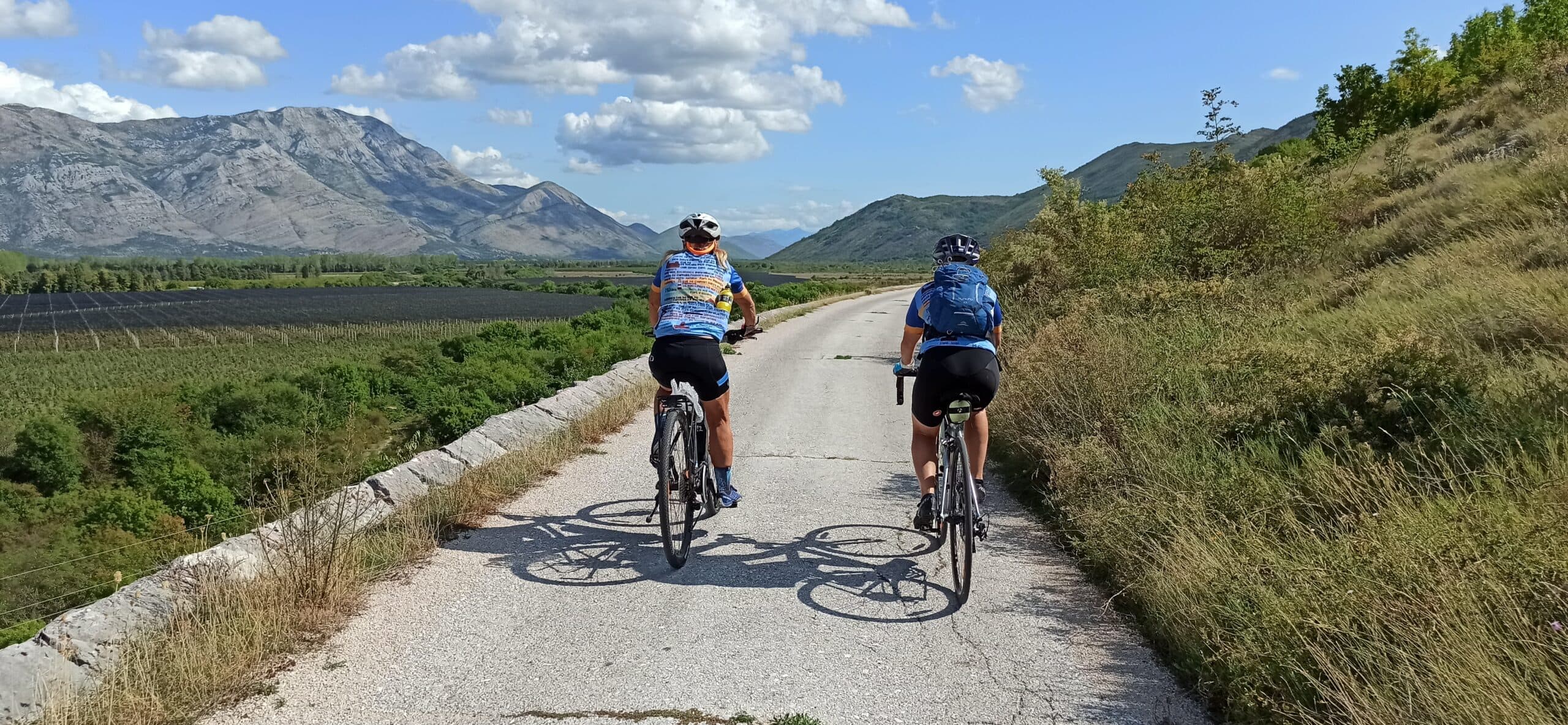
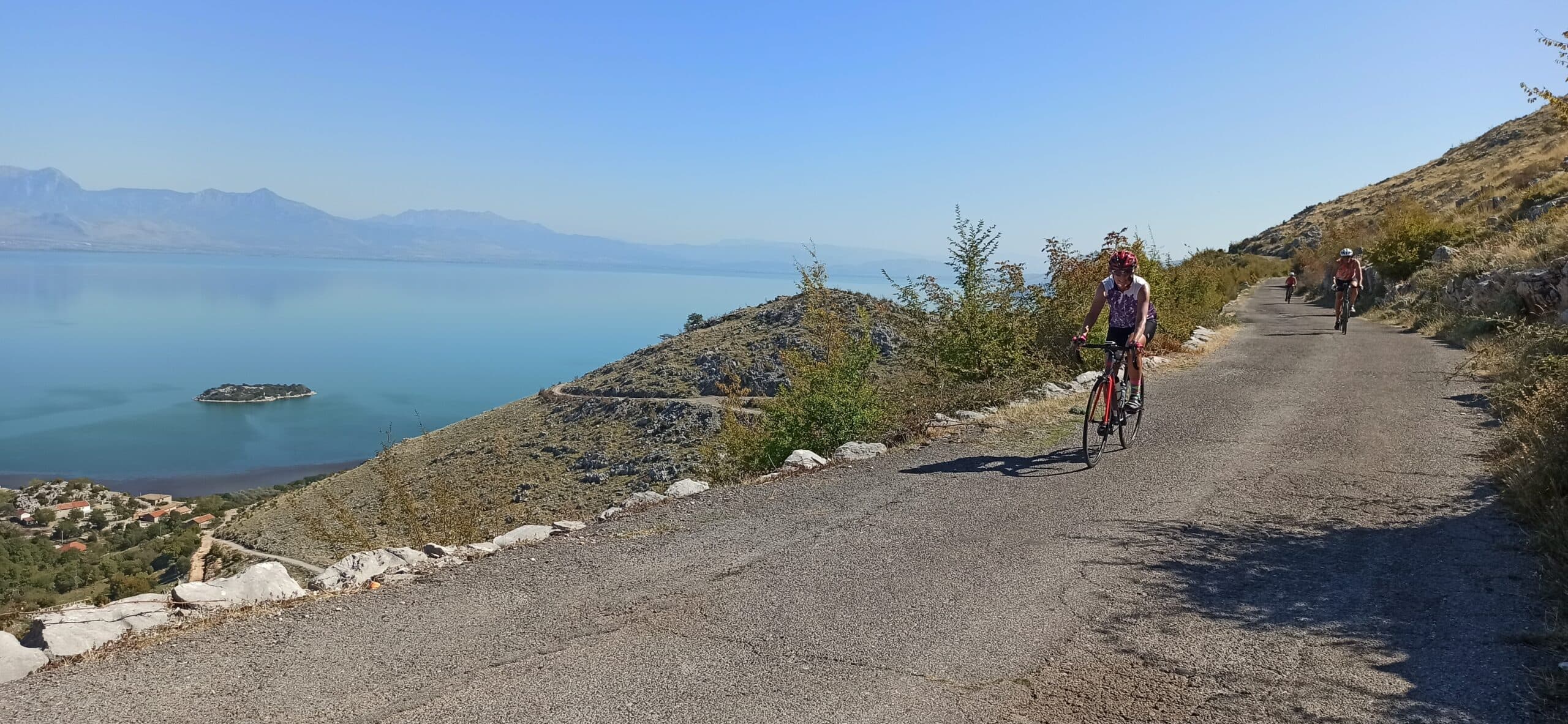
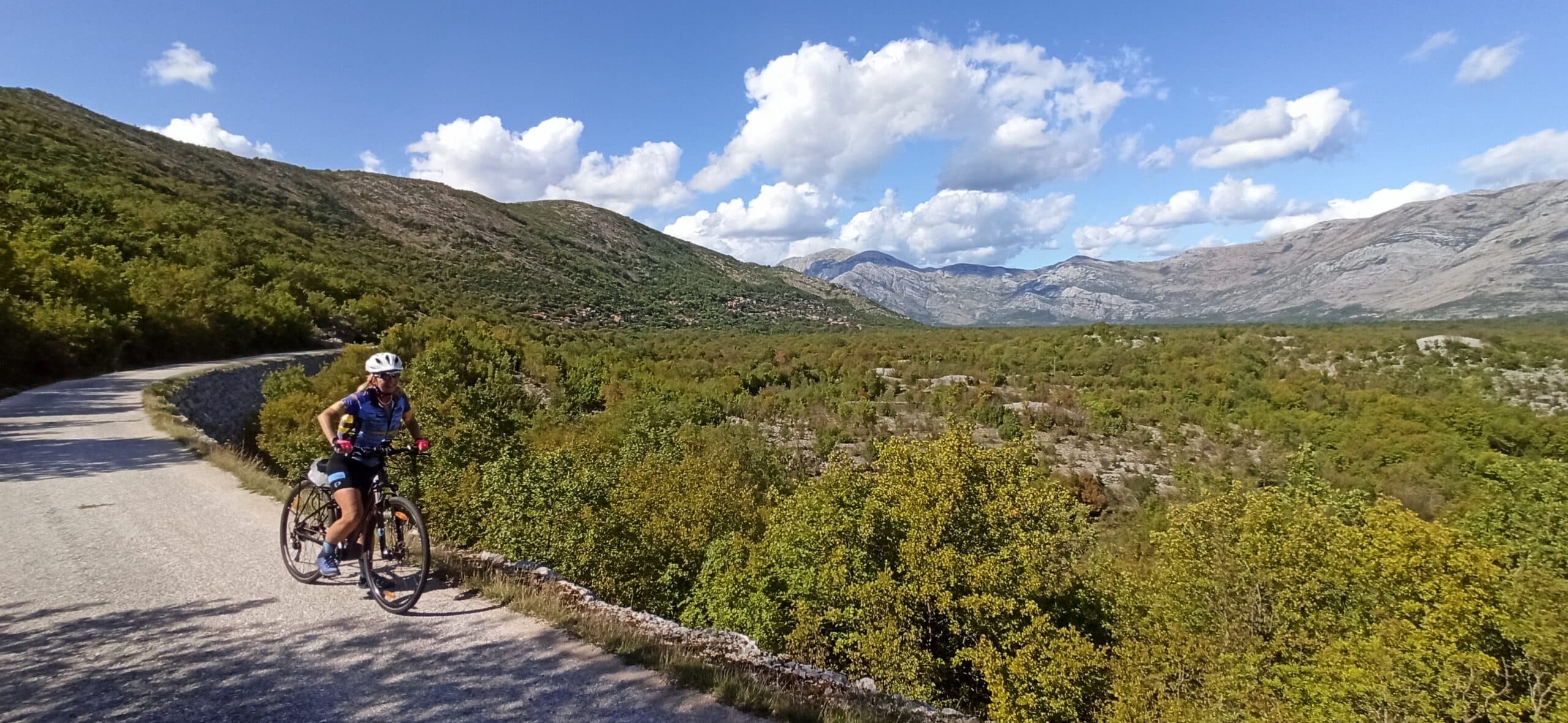
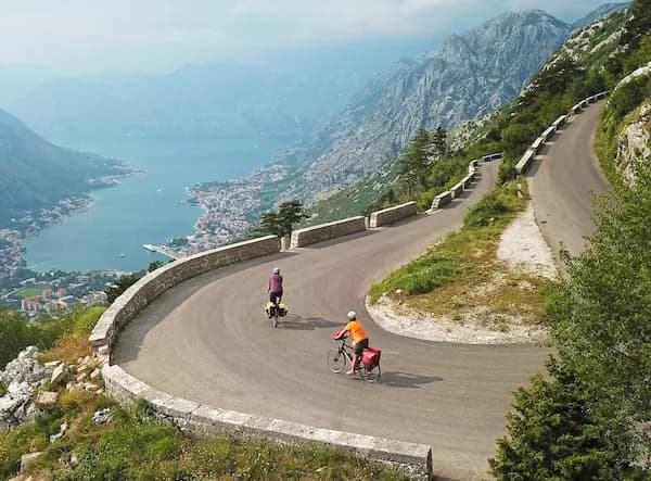
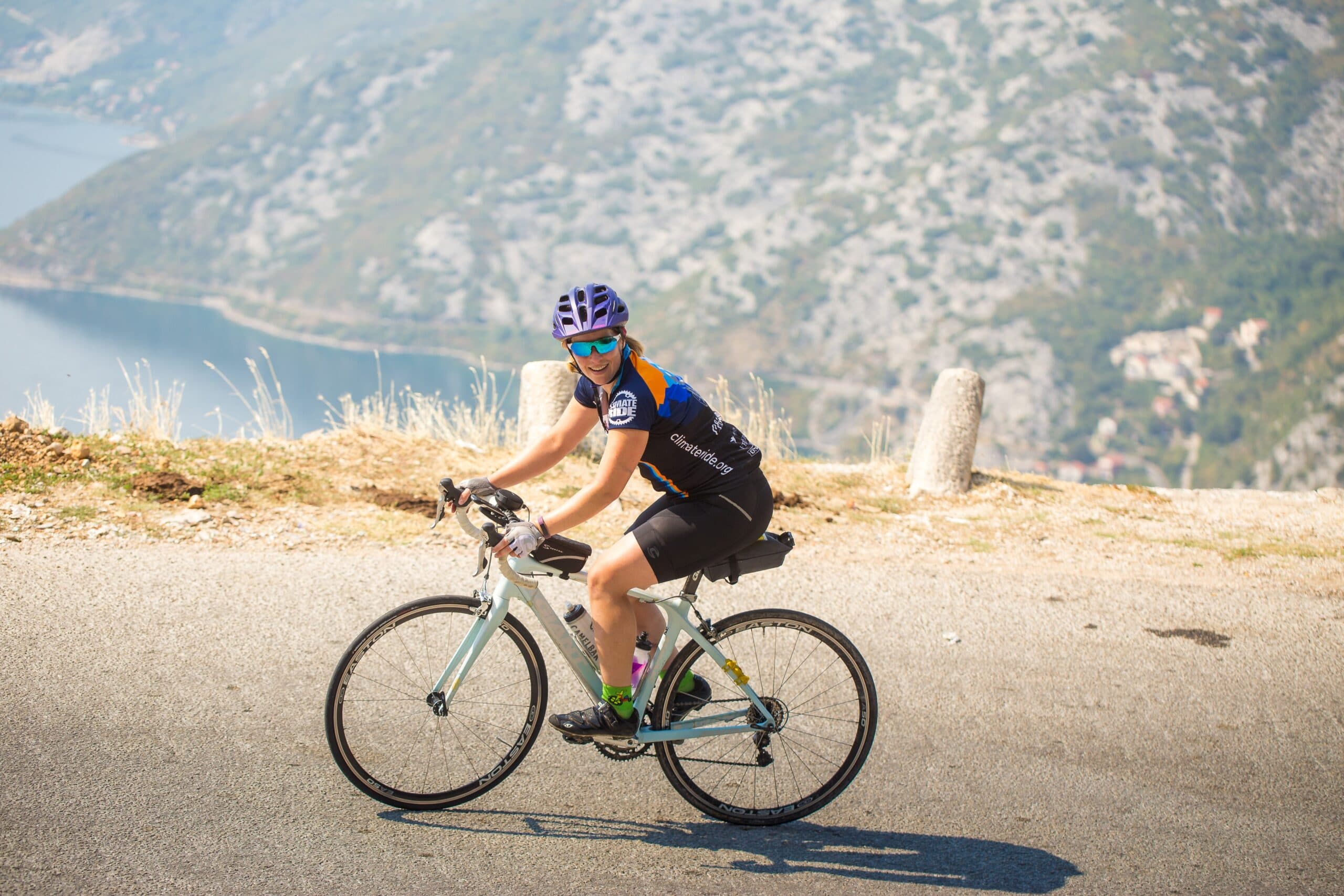
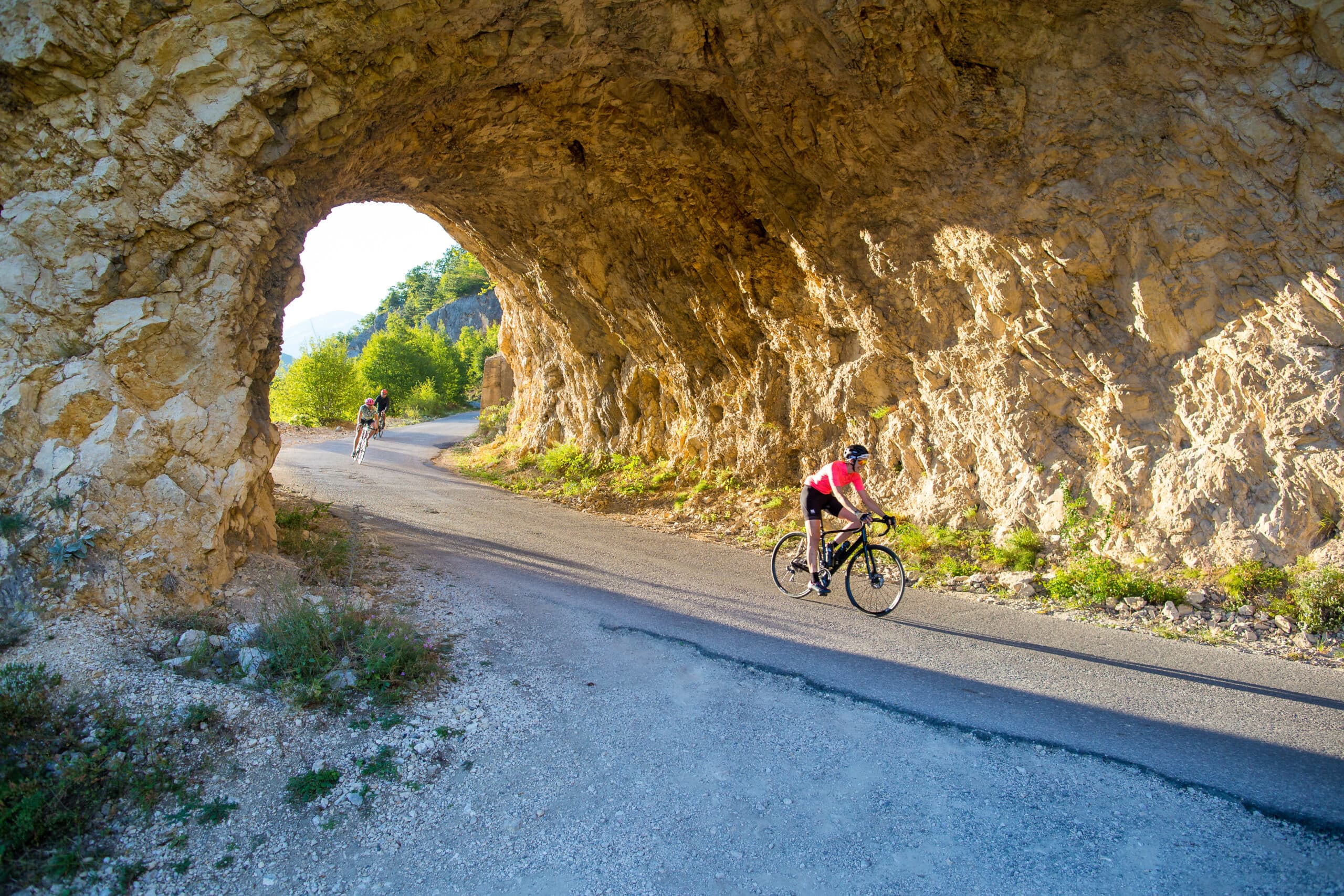
Quiet back roads and gravel routes — road, gravel and e-bike, with luggage moved between stays.
Travel guide
Mojkovac Municipality covers 367 km² and holds 6,824 people, of whom 2,506 live in the town itself at 42.96°N, 19.58°E. The town has no protected designation of its own; its draw is Biogradska Gora National Park on the adjacent Bjelasica range. The forest was first protected in 1878, when Montenegrin Prince Nikola I issued a decree after independence from the Ottoman Empire, and became a national park in 1952 — among the earliest in the former Yugoslavia. Sources give the park area as either 5,650 hectares or 54 km²; its virgin forest reserve covers 16 km². The park lies between Kolašin and Mojkovac and is administered from Kolašin municipality. The town's name carries its own history: the Battle of Mojkovac, fought 6–7 January 1916, saw 6,500 Montenegrin troops hold off 20,000 Austro-Hungarian soldiers, a decisive victory at a cost of 205 casualties against 700.
The centrepiece is Biogradsko Lake, the largest on Bjelasica, sitting at 1,094 metres: 870 metres long, up to 261 metres wide, covering 228,500 m² with a maximum depth of 12.1 metres and an average of 4.5 metres. It is a glacial lake fed by the Biograd river and drained by the Jezerštica. Higher up lie further glacial lakes — Pešića, Ursulovačko (Big and Small) and Šiško (Big and Small) — several around 1,820 metres. The Bjelasica massif spans 630 km², roughly 30 km each way, with eight peaks above 2,000 metres: Crna Glava 2,139 m, Strmenica 2,122 m, Zekova Glava 2,117 m, Kosara 2,079 m, Troglava 2,072 m, Pešica Glava 2,056 m, Strmni Pad 2,050 m and Razvršje 2,033 m. The forest holds 86 tree species and stands over 500 years old, part of the 16 km² virgin reserve.
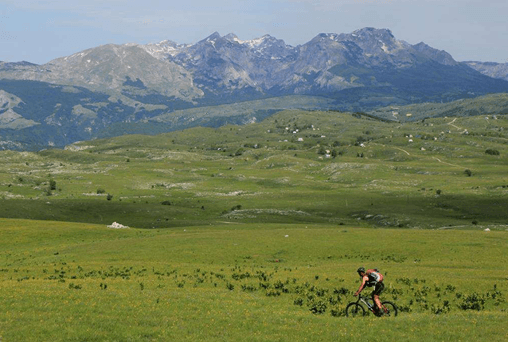
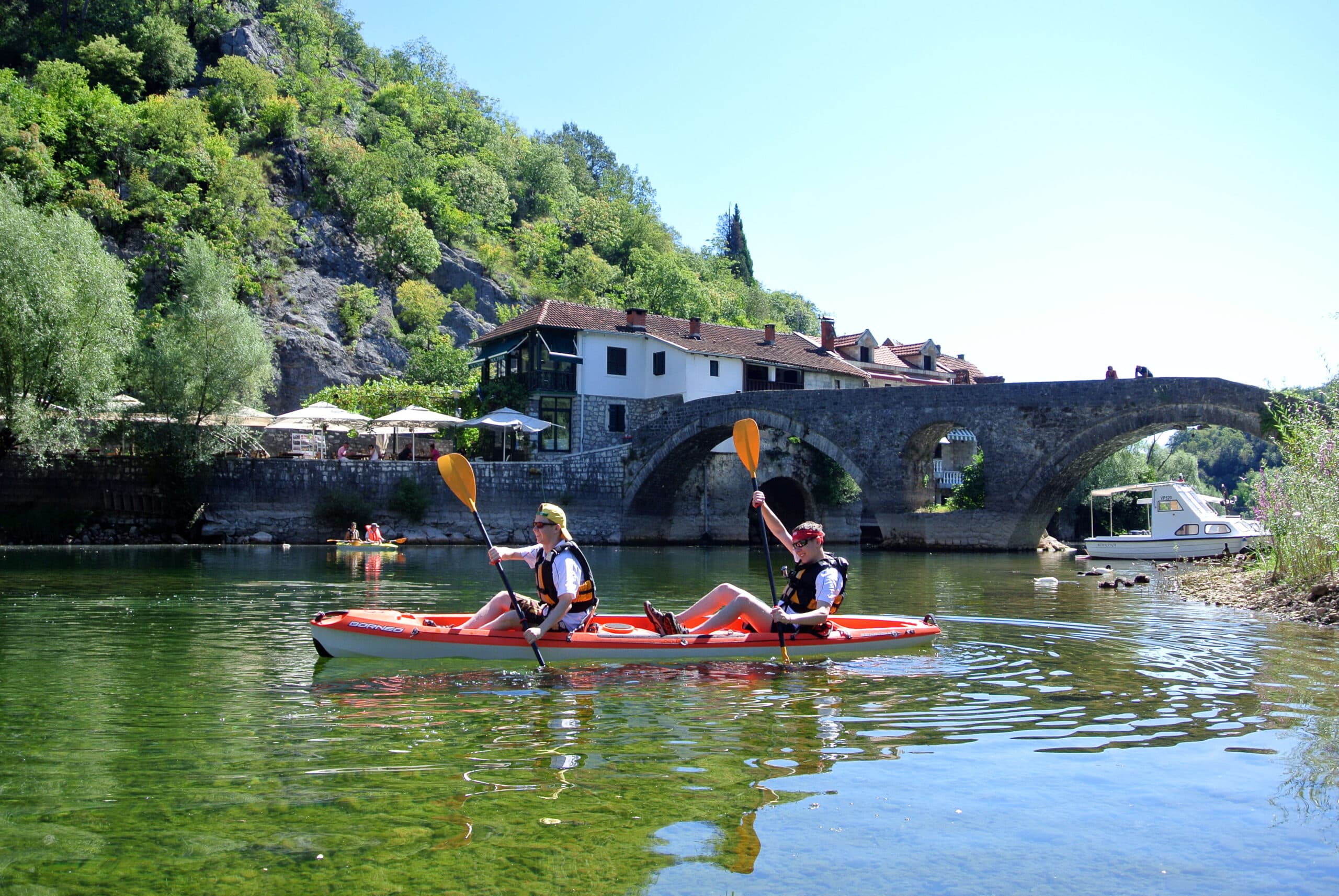
The most accessible route is the Biogradsko Lake circuit: a 3.5 km loop from the main entrance, level enough for an easy walk, crossing several bridges and pontoons. From the lakeshore, marked paths climb into the Bjelasica peaks — Crna Glava at 2,139 m and the neighbouring 2,000-metre summits — making longer days out from the same starting point. The park rents bicycles at €3.00 per hour or €8.00 per day, single kayaks at €3.00 per hour and two-seat kayaks at €5.00 per hour, so a visit can mix walking, paddling and riding. Guide services are listed at €40.00 for four hours and €80.00 for eight. Fishing on the lake is permitted only on Tuesdays and Sundays with a licence, limited to three fish.
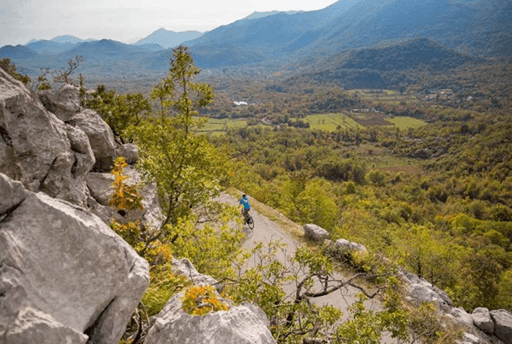
Mojkovac stands at the junction of the main road linking the coast and Podgorica with northern Montenegro and Serbia (E65/E80) and the road towards Žabljak and Pljevlja. Kolašin is 23 km away, about 29 minutes by car. Podgorica is roughly 79 km by road; buses take about 1h 50m for €4–9, and there are three direct trains daily taking about 1h 52m. Mojkovac sits on the Bar–Belgrade railway, with four direct trains a day to Kolašin taking about 19 minutes. The nearest airport is Podgorica (TGD), around 15 km from the capital's centre. There is no direct public transport into the park itself; in theory a Podgorica–Kolašin bus driver can drop you near the park turnoff, but a car makes the lakes and trailheads far easier to reach.
The park itself is open around the clock, year-round, including winter; the ticket booth and entrance gate operate daily from 9 AM to 8 PM. The official price list sets a ticket at €4.00 per person per day, covering the Visitor Center and educational trails. Boat rental on Biogradsko Lake is €10.00 per hour. A tent space costs €3.00 per day, and the kept camping space at Kraljevo kolo is €20.00 per day. One third-party guide quotes a €5 entry fee with under-sevens free and recommends May to October; the €4 figure is the park's own. The higher summits carry snow well into spring, so the lake loop and forest trails are most reliable from late spring through autumn, while the peaks above 2,000 metres suit summer and early autumn.
Our journeys
21 journeys planned by our team in Podgorica — from gentle coastal weeks to high-mountain crossings.
Build your own trip →8 days · Hiking
7 days · Hiking
8 days · Cycling
7 days · Cycling
8 days · Cycling
8 days · Hiking
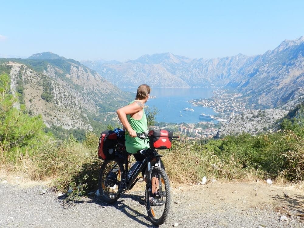
8 days · Cycling
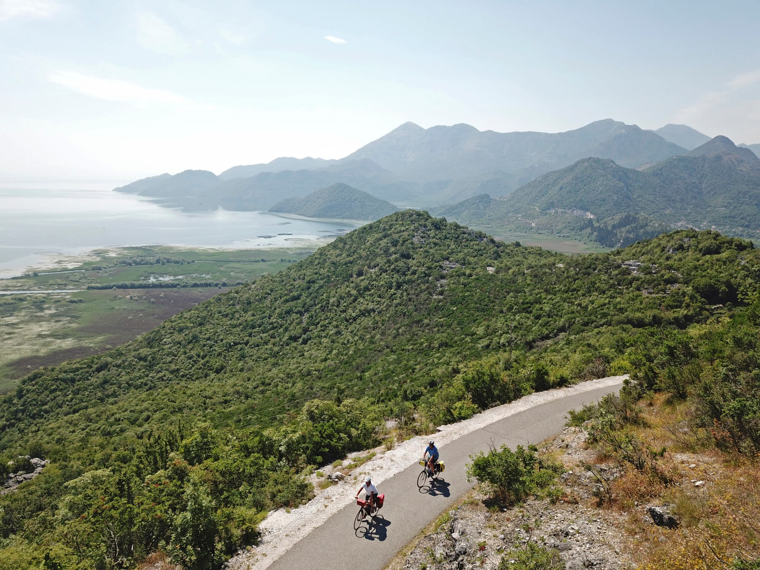
7 days · Cycling
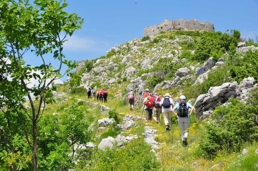
7 days · Hiking
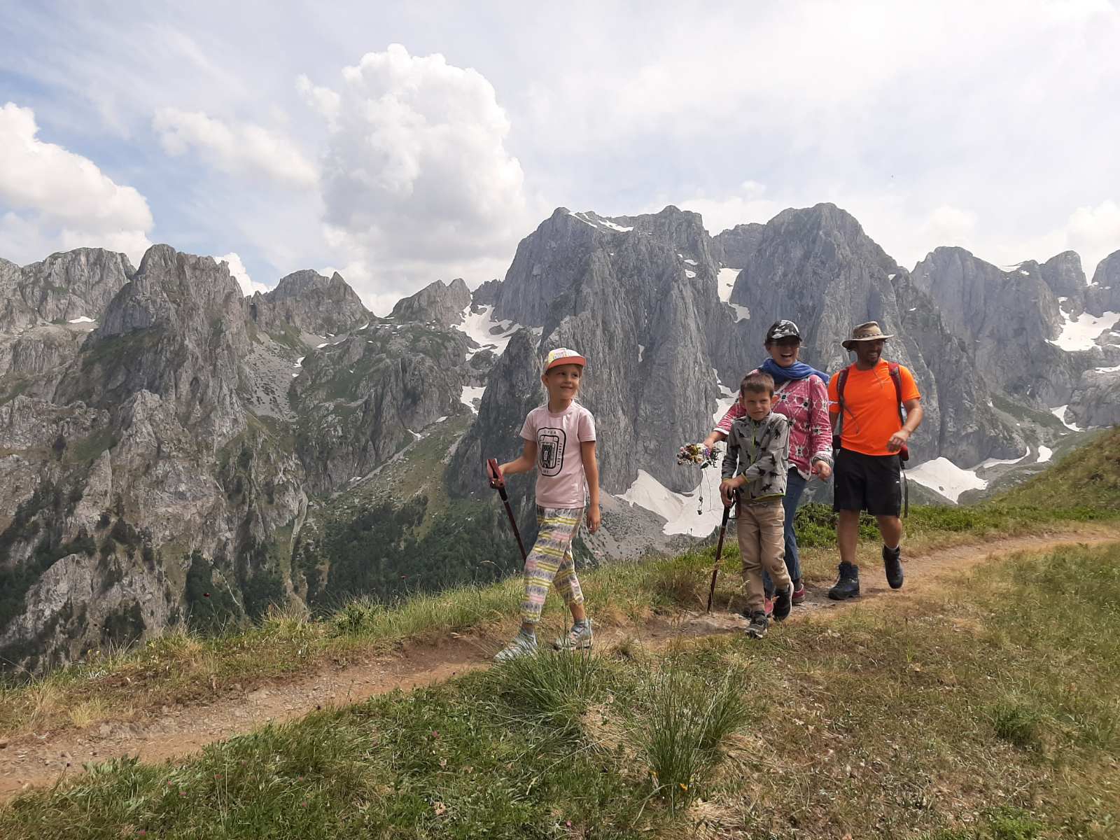
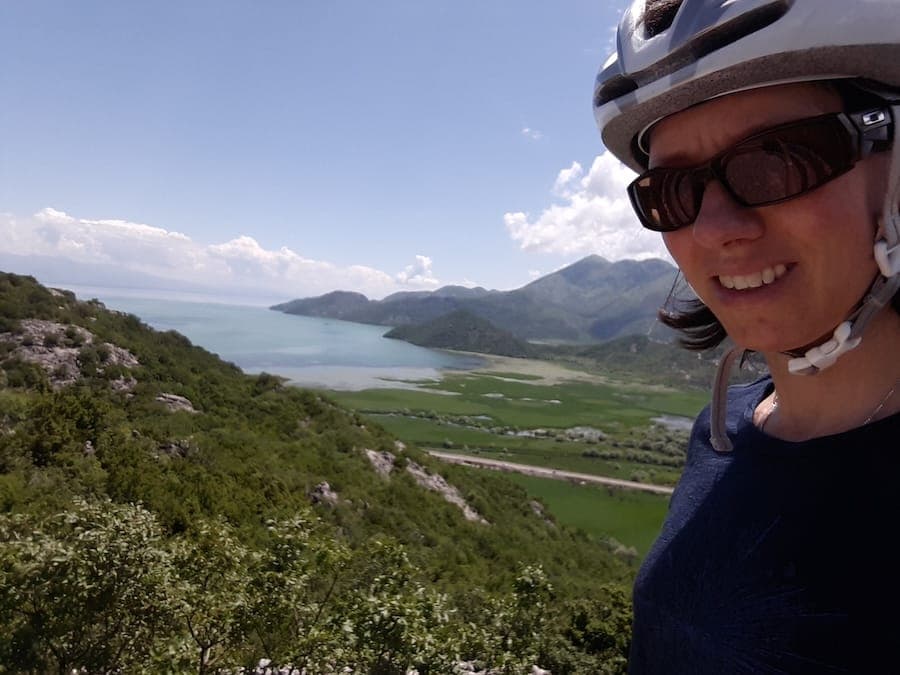
1 day · Cycling
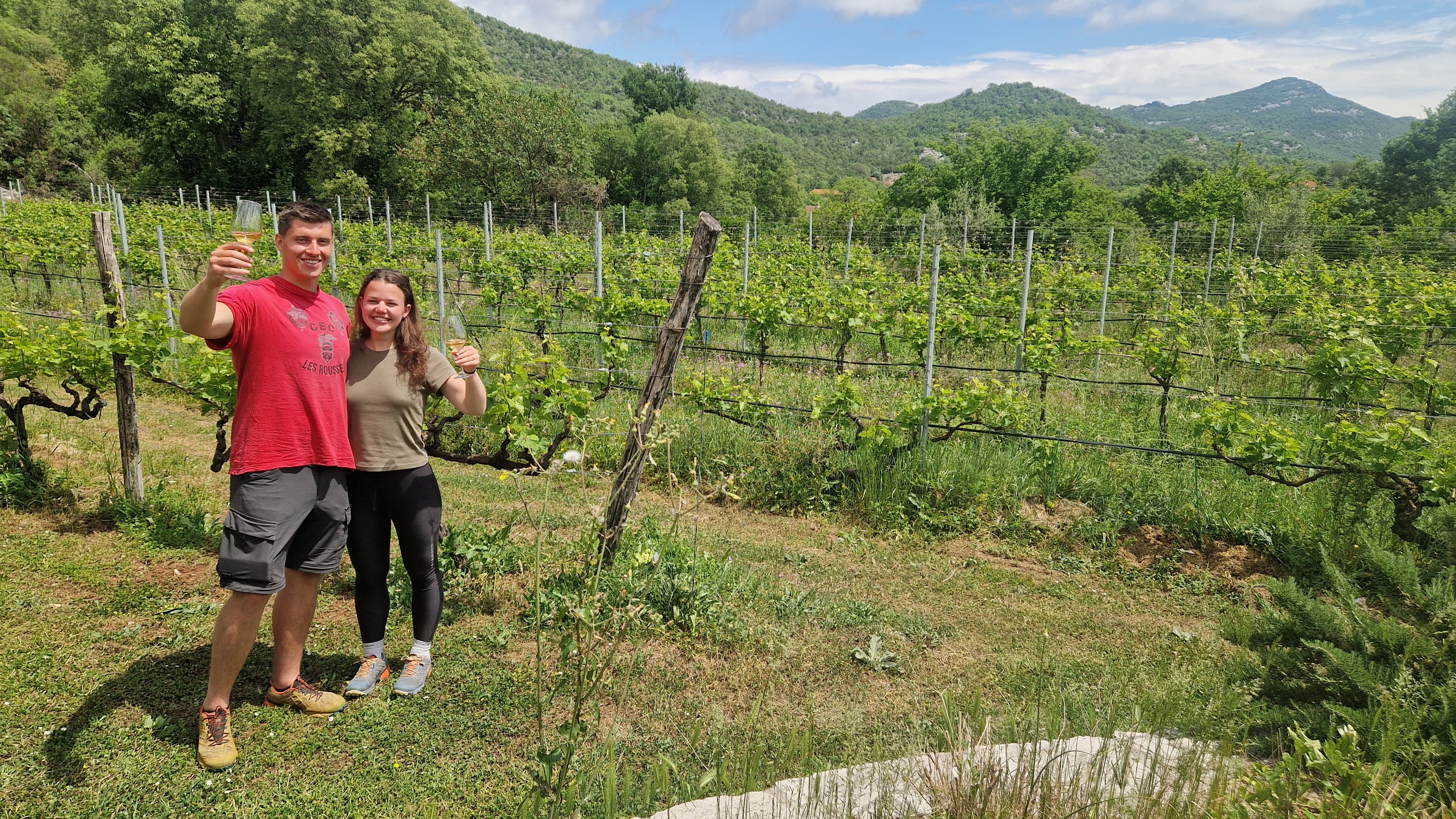
1 day · Cycling
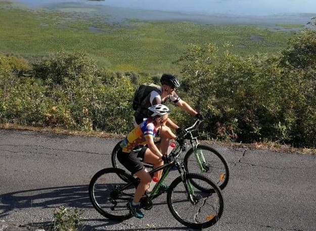
1 day · Cycling
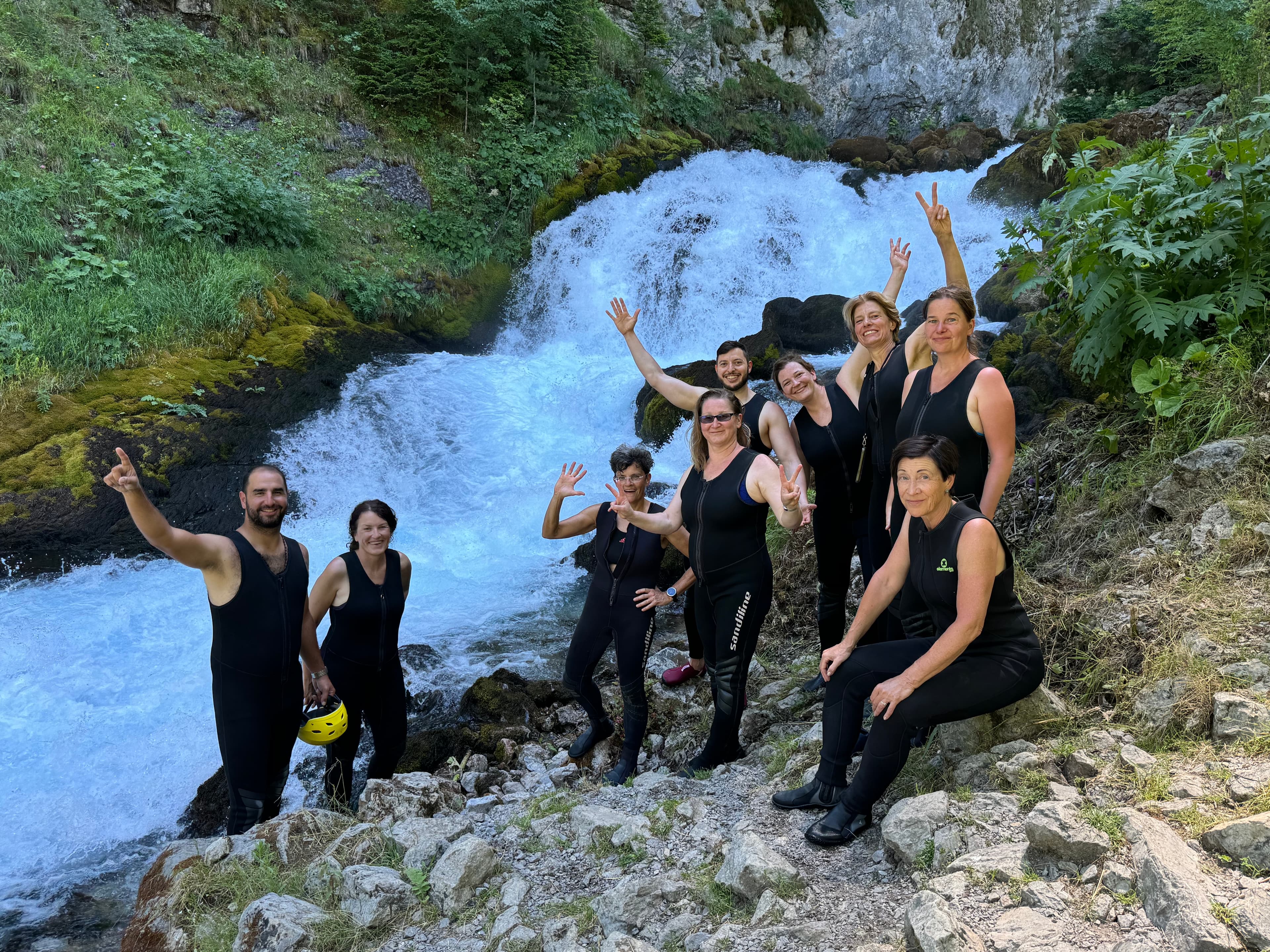
9 days · Cycling
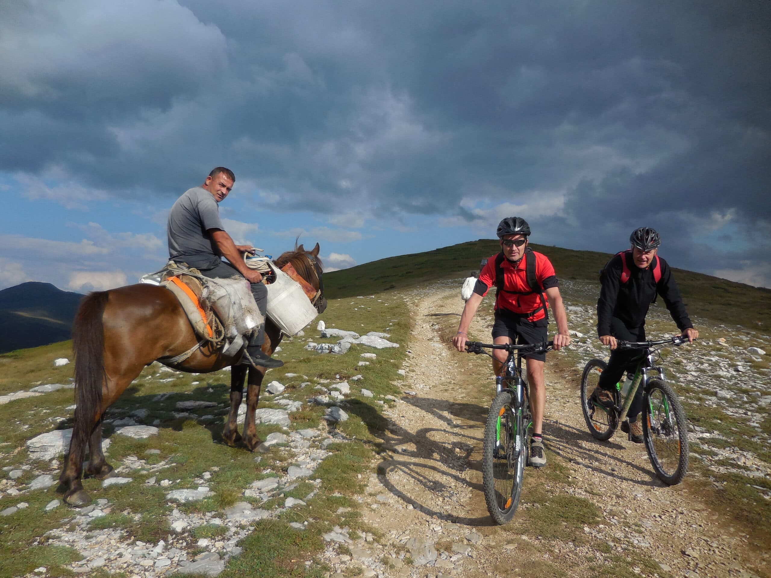
8 days · Cycling
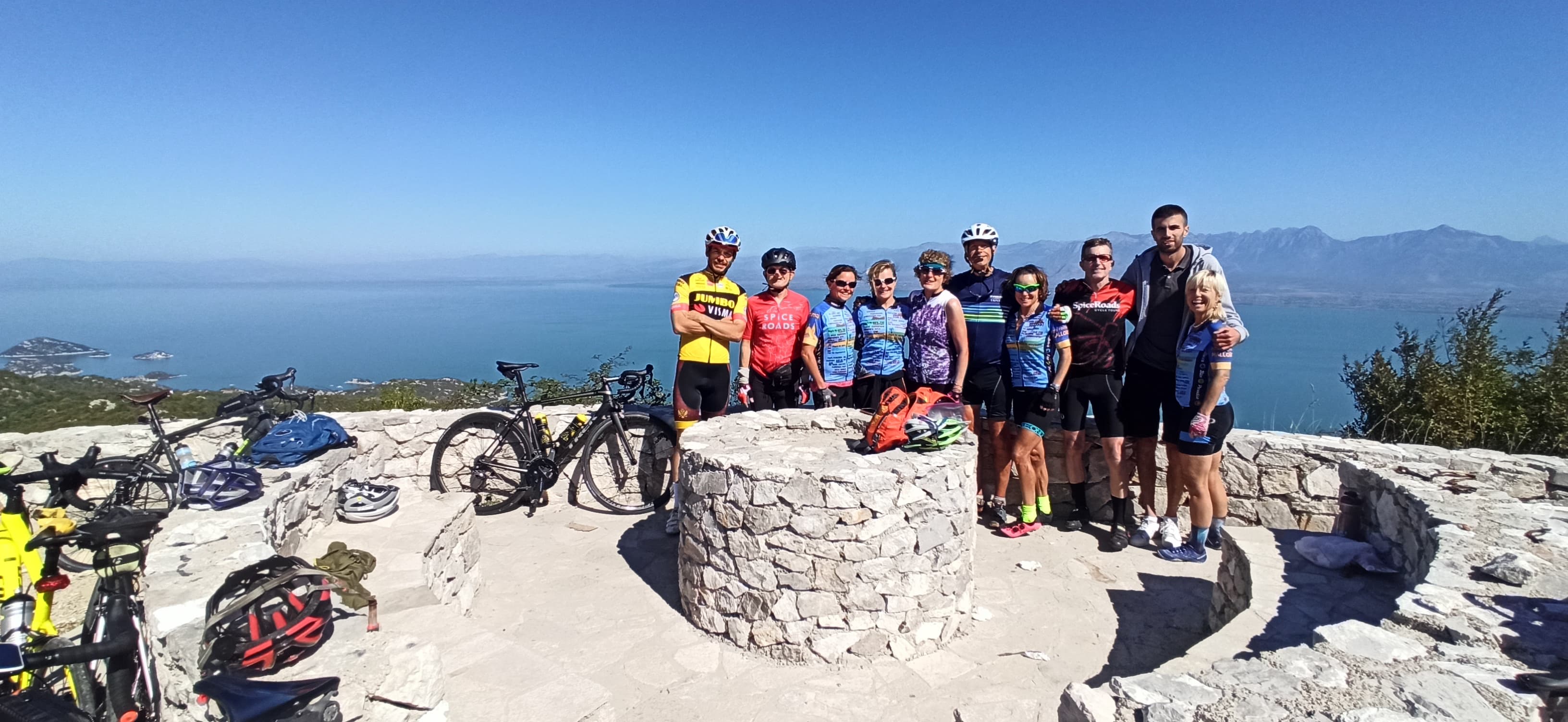
7 days · Cycling
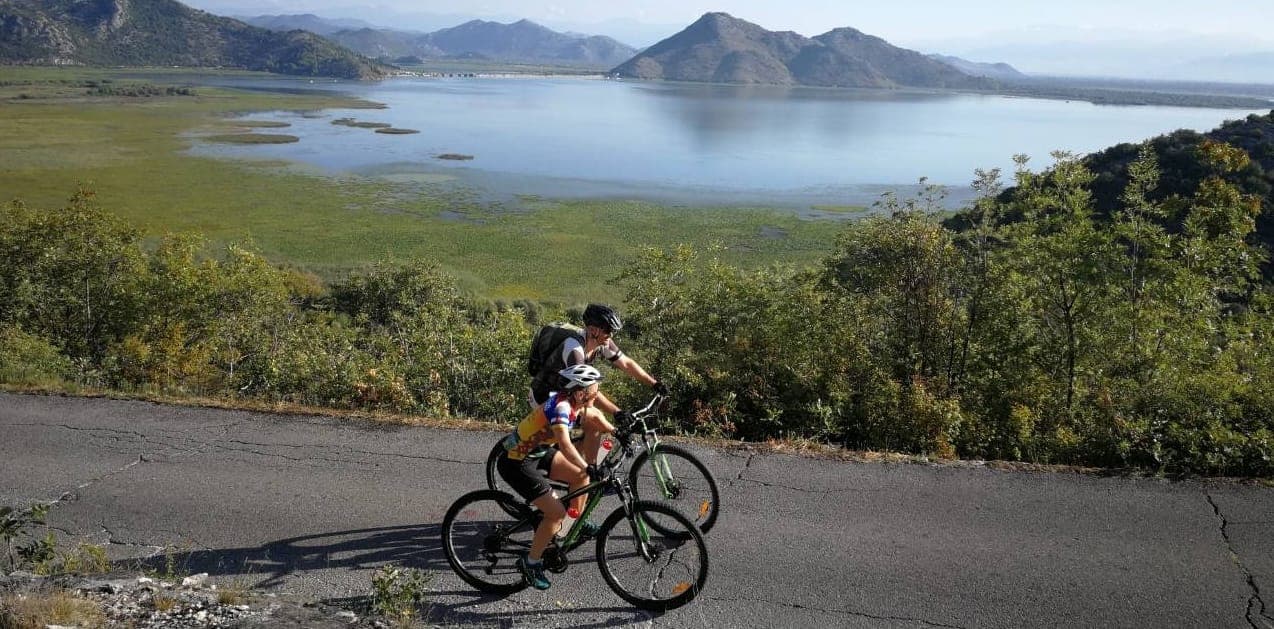
7 days · Cycling
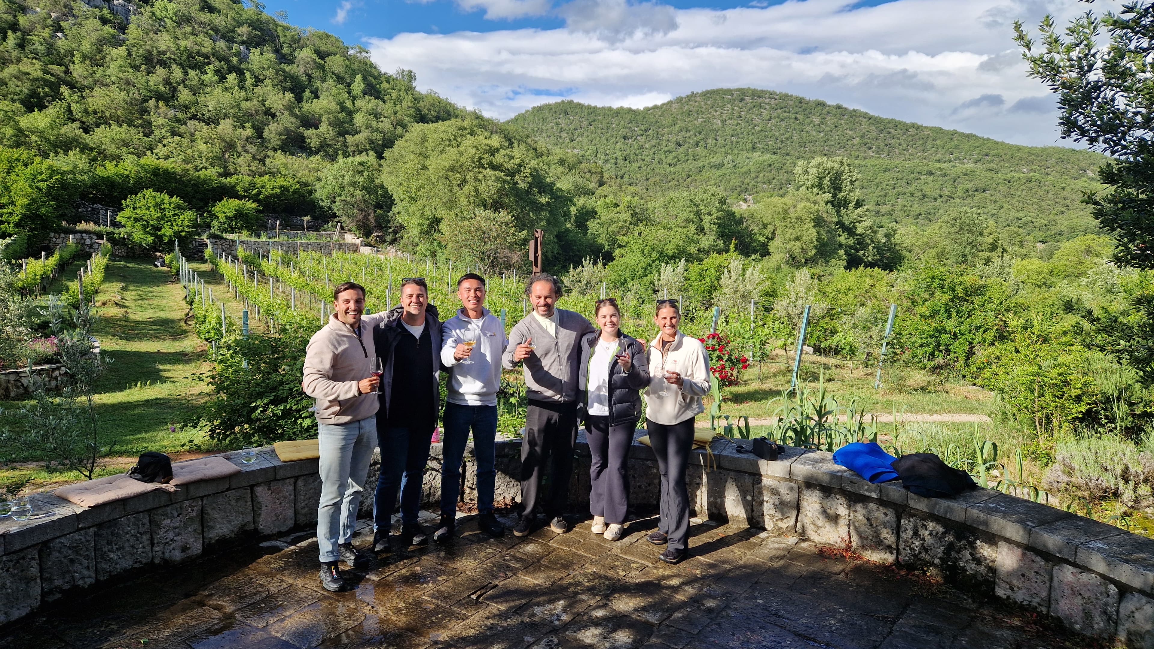
1 day · Multi-activity
from € 160,- / per person
Meet your guides
We live in Mojkovac. We walk these trails, ride these roads and eat in these konobas every week. When you book with us, you’ll usually speak directly to one of the people who’ll be guiding you.
Meet the whole team →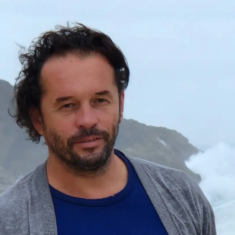
Management
Quality assurance, sales and communication.
Management
Product development, sustainability and marketing.
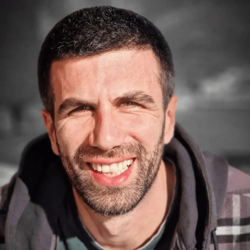
Tour operations manager
Backoffice — keeps every trip running smoothly on the ground.

Reservations & group tour operations
Backoffice — bookings, group logistics and guest care.
Tell us roughly when, who's travelling and what kind of pace you like. We'll send back a draft itinerary within 1–2 days, no payment until you're happy with the plan.
Plan your trip