


Montenegro
8 days · Hiking
From the Bay of Kotor to Lake Skadar – Historical trade and military trails
▲▲▲▲▲Moderate
Walking · Hiking · Cycling · Montenegro
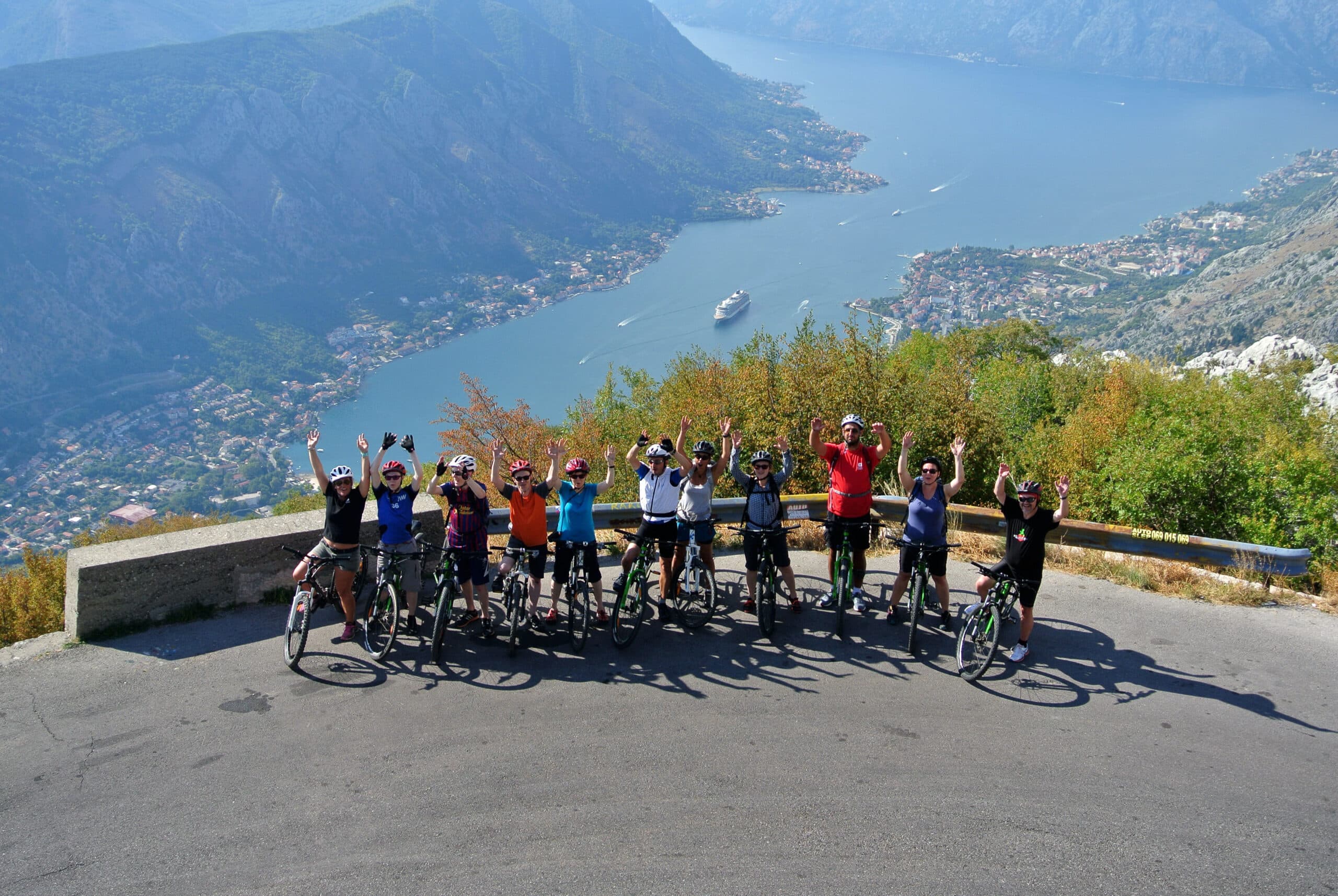
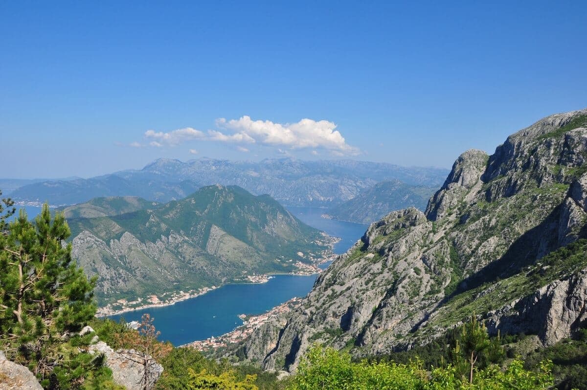
Walking, hiking and cycling holidays in Kotor, self-guided or with a local guide. Kotor sits at the head of a 28 km sea inlet, where a walled medieval town backs onto San Giovanni Hill and 1,749 m Lovćen rises behind it. The Natural and Culturo-Historical Region of Kotor has been a UNESCO World Heritage Site since 1979, covering 14,600 hectares of bay, town and mountain. It earns the journey for its 4.5 km of stone fortifications, the 1,350-step climb to the fortress, and short drives to Perast, its islets and the national park.
Why Kotor
We've spent years walking, hiking and cycling across Kotor in every season. The trips below are built around the routes that work — the quiet ones, the beautiful ones, the ones with great food at the end of the day.
If none of them quite fit, get in touch. We'll happily build you a private version, shaped around your interests, fitness and pace.
How we travel here
Walking
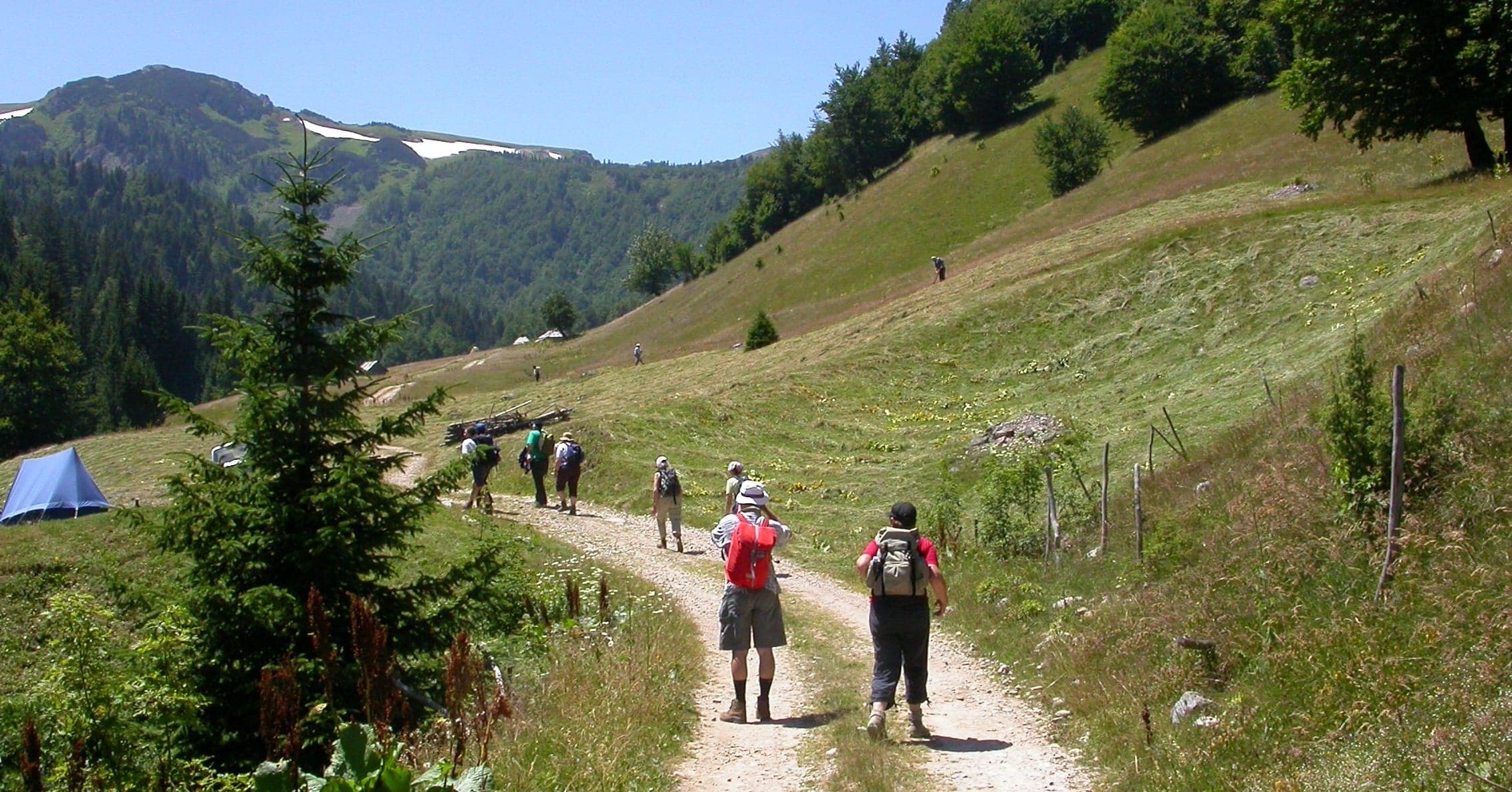
Coastal trails, village paths and slow days on foot, with time to stop.
Hiking
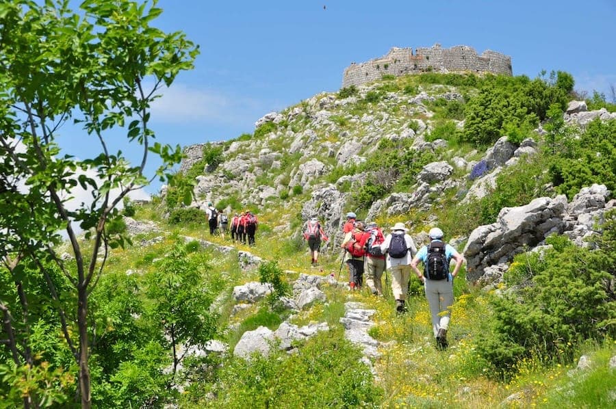
Mountain trails, hut-to-hut days and summit walks, graded honestly.
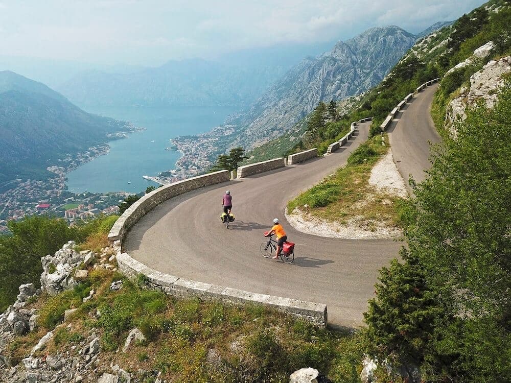
Cycling
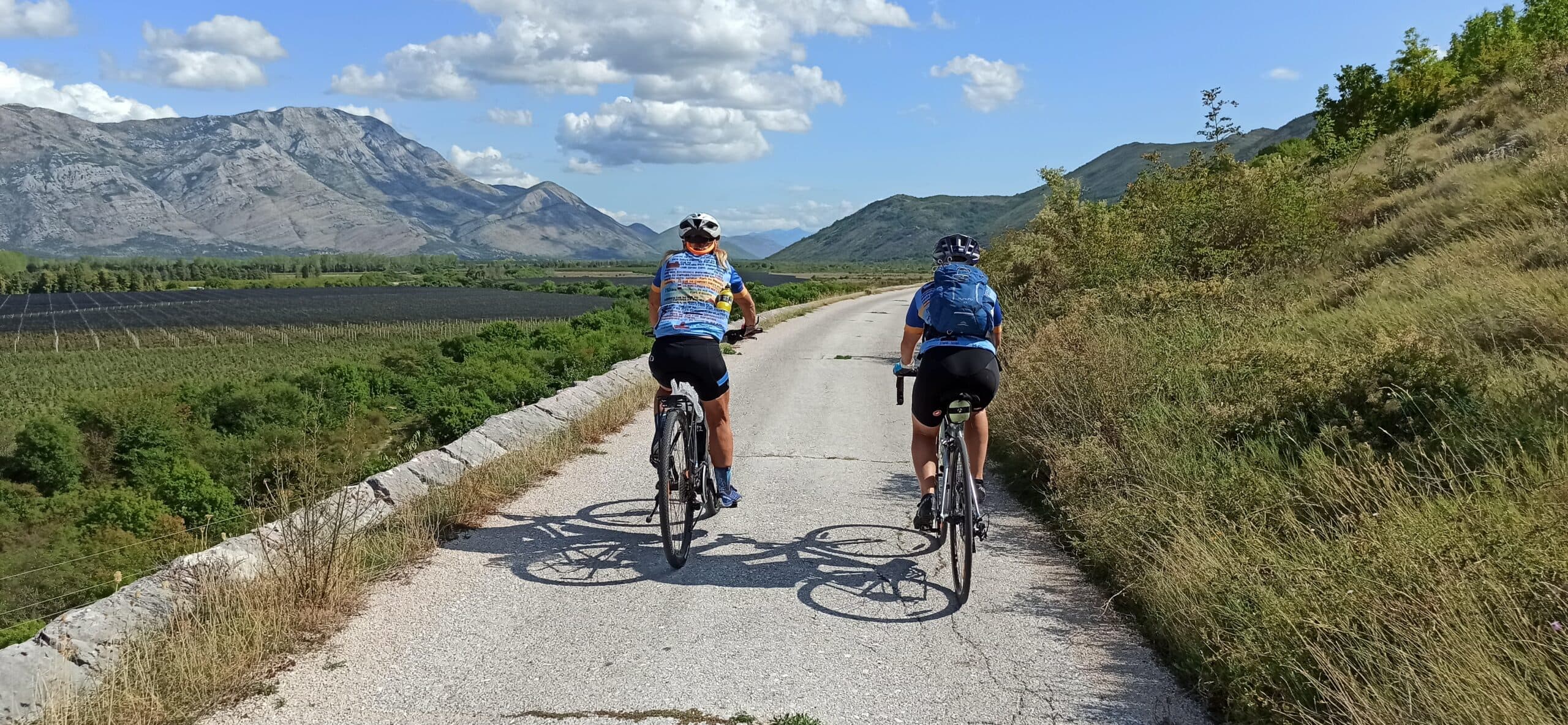
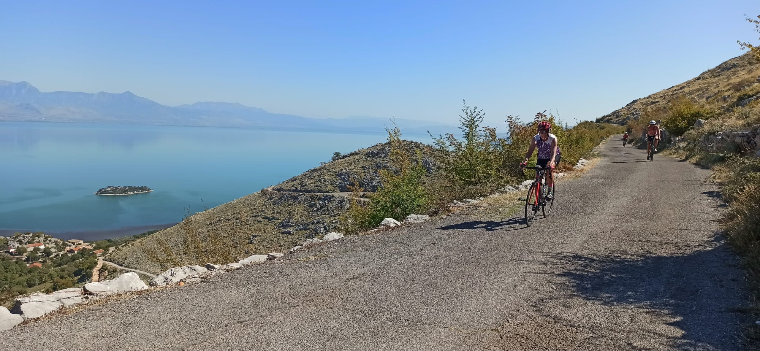
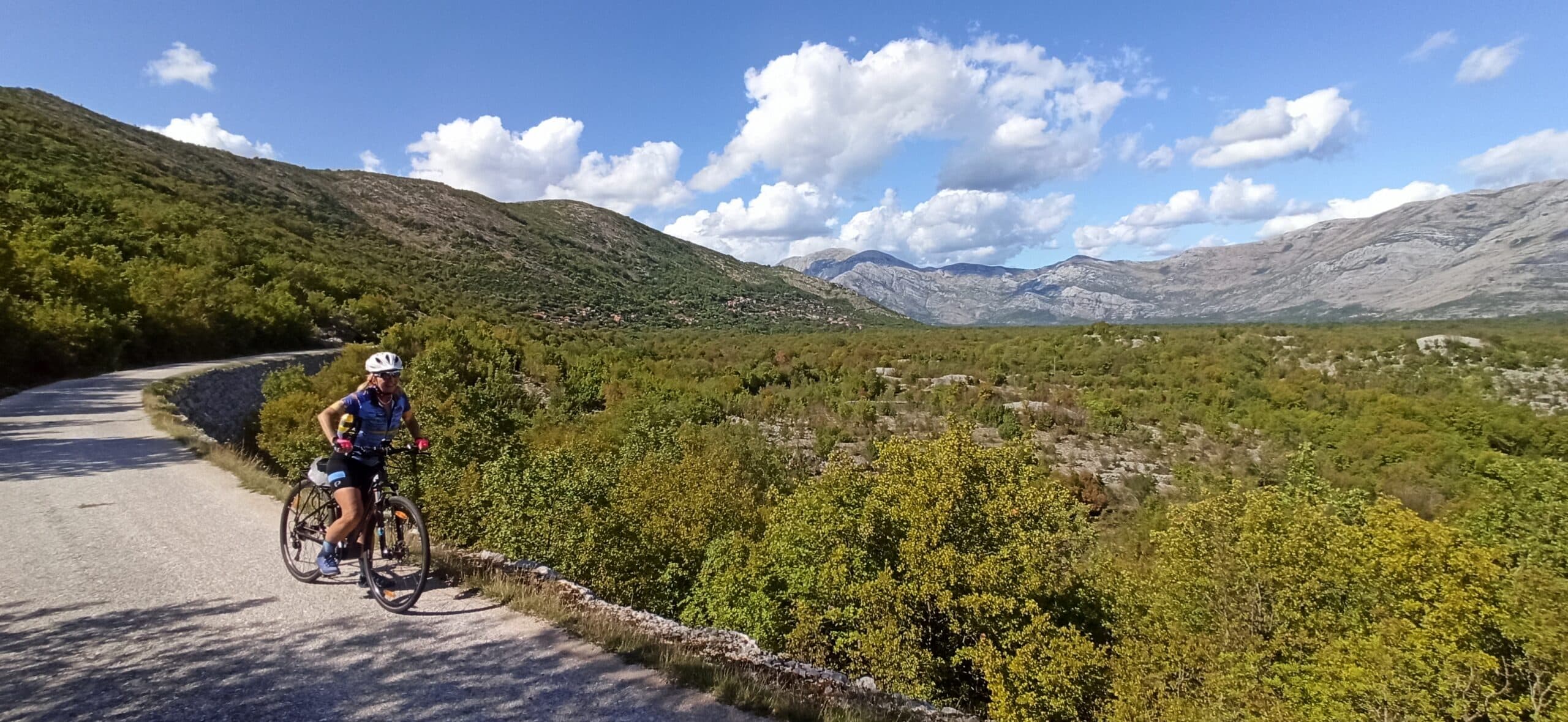
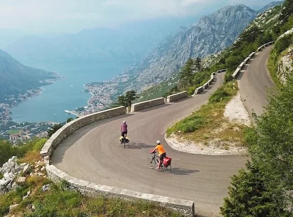
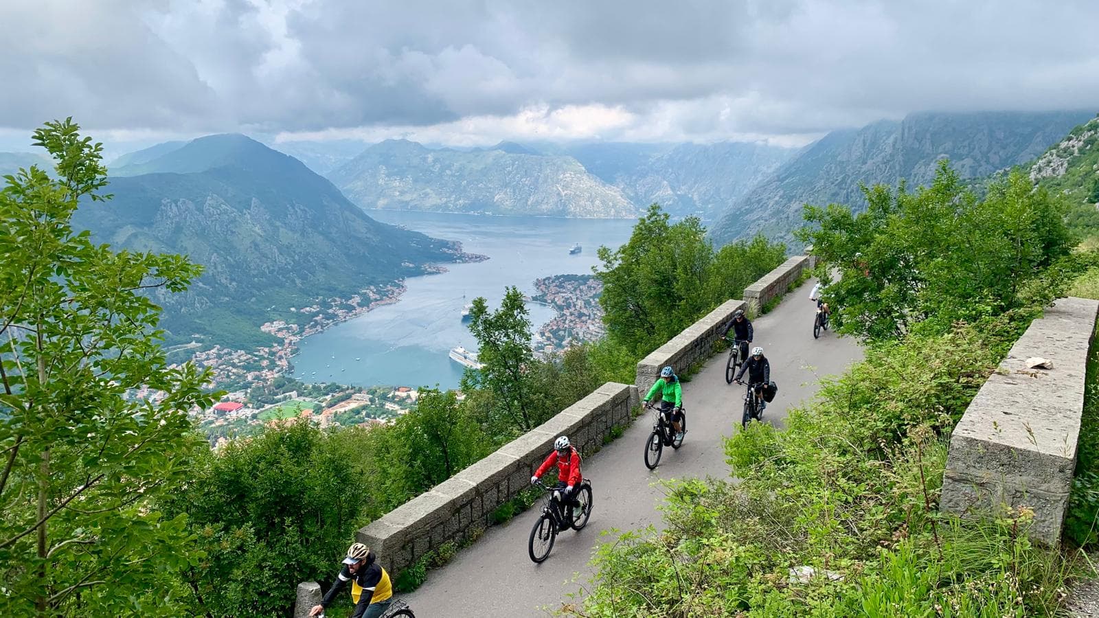
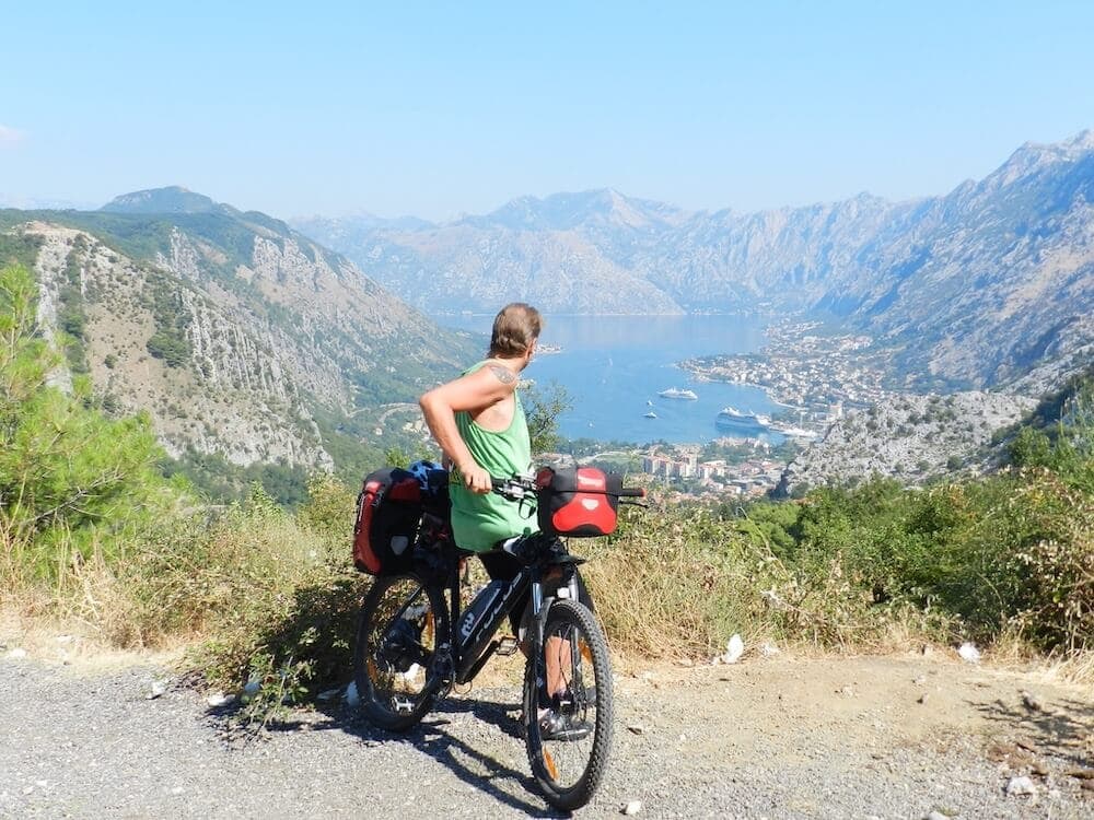
Quiet back roads and gravel routes — road, gravel and e-bike, with luggage moved between stays.
Travel guide
The Natural and Culturo-Historical Region of Kotor was inscribed on the UNESCO World Heritage List in 1979 under four cultural criteria, with extensions in 2012 and 2015. It covers 14,600 hectares with a 36,491-hectare buffer zone, and takes in Kotor, Risan, Perast and the islets of Sveti Đorđe and Our Lady of the Rocks. After the 1979 earthquake the site was listed as In Danger, then removed from that list in 2003. In 2017 the fortifications gained a second inscription as part of the Venetian Works of Defence. The Bay of Kotor region spans 616 km² across the municipalities of Kotor, Herceg Novi and Tivat, with a population of 67,496. Kotor was an independent republic from 1391 to 1420, then placed itself under Venetian rule, which lasted until 1797, followed by Austrian control from 1797. The town sits at the bay's deepest point, ringed by the limestone massifs of Lovćen and Orjen.
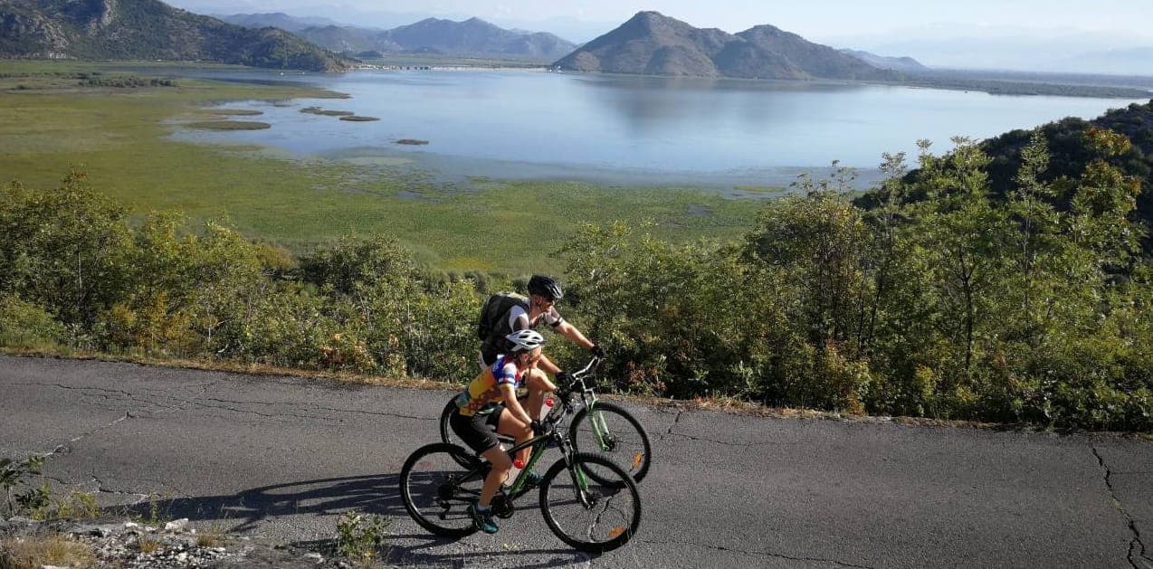
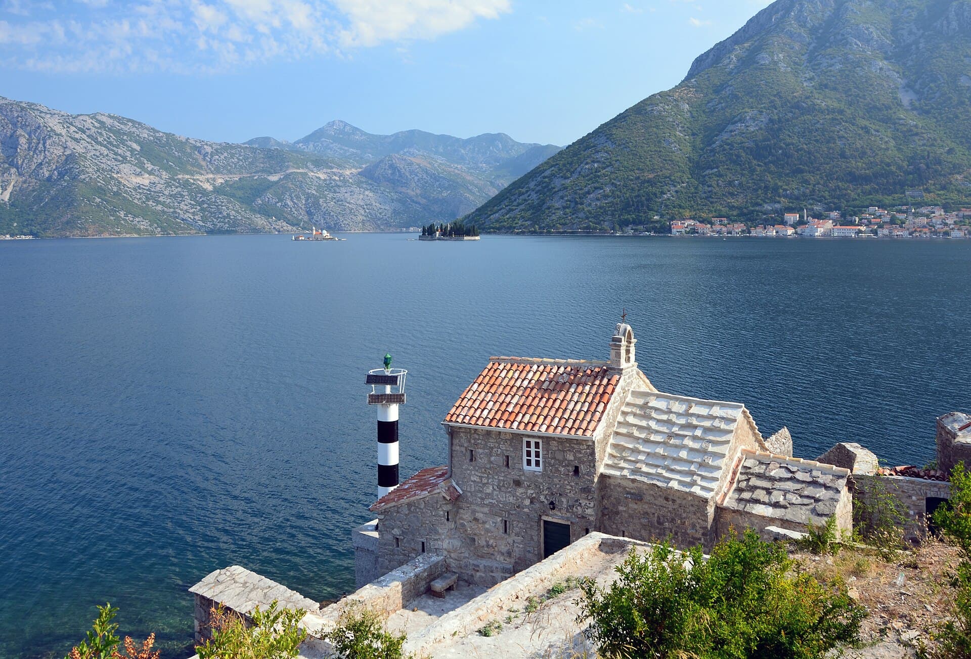
The outer wall runs 4.5 km around the old town and up San Giovanni Hill, with a thickness of 2 to 16 m and a height reaching 20 m. The summit fortification stands at roughly 260 m above sea level (sources also cite 280 m). The bay itself extends 28 km inland, covers 87.3 km² and has 105.7 km of coastline; its entrance is almost 3 km wide, while the Verige Strait pinches to 340 m. Average sea depth is 27.3 m, reaching 60 m at Verige. Off Perast, Our Lady of the Rocks is an artificial islet of 0.38 hectares, begun in 1452 by sinking ships loaded with stone. The UNESCO region also takes in Risan and the natural islet of Sveti Đorđe. Behind the town, Lovćen rises to 1,749 m and Orjen to 1,895 m, framing the whole inlet in limestone.
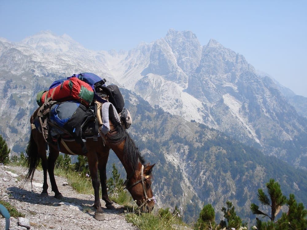
The signature climb is the walled fortress path: 1,350 steps, 254 m of ascent, and 45 minutes to an hour up. As an out-and-back the wall route runs about 2.5 km and takes 1.5 to 2 hours. Our route notes cover it in The Ladder of Cattaro. For a full day above the bay, Kotor to Lovćen climbs from sea level toward the national park's 1,749 m high point. The Vrmac Ridge Trail links Kotor and Tivat along the peninsula between the two bays. For combining wheels and boots around the shoreline, see Exploring the Bay of Kotor on Two Wheels and Two Feet.
Gzzz · CC BY-SA 4.0 · Wikimedia Commons
Tivat Airport (TIV) is the closest, roughly 8 km away, 15 to 20 minutes by taxi. Podgorica Airport (TGD) lies about 90 km out, 1 hour 20 minutes to 2 hours by car. Dubrovnik Airport (DBV) is around 95 km and 1 hour 45 minutes to over 2 hours, crossing the Croatia–Montenegro border, where summer queues can add 1 to 3 hours. The national park's Njegoš Mausoleum sits on Jezerski Vrh (1,657 m), reached by 21 km of asphalt road from Cetinje. Perast and its islets are a short drive along the shore from Kotor's old town, with the islands accessible by local boat.
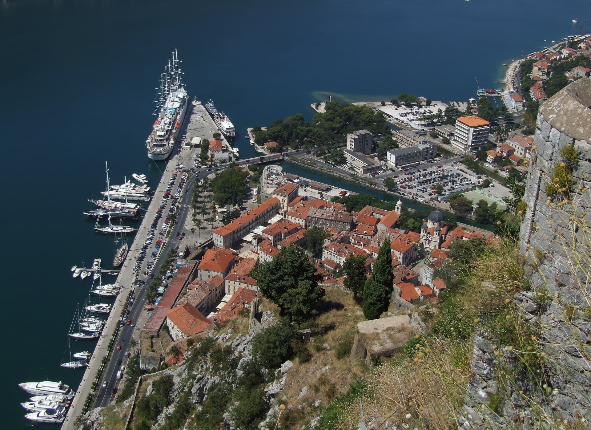
Pudelek (Marcin Szala) · CC BY-SA 3.0 · Wikimedia Commons
The walled fortress path costs €15 per adult in peak season (about €8 off-season, under-12s free) and is open from 8am to 10pm. During the May to October tourism season a guard controls the entry point. Older sources list an €8 fee for 8am to 8pm from May to September; the current standard figure is €15 peak season (about €8 off-season, under-12s free). Traveller reports suggest no fee is collected between 1 December and February, though this is not official — verify on arrival. The climb is exposed and hot in midsummer, so early morning starts suit the fortress path. Spring and autumn bring cooler walking on the walls and in Lovćen, and thinner crowds than the peak cruise-season months. Border queues from Croatia are worst in July and August.
Our journeys
21 journeys planned by our team in Podgorica — from gentle coastal weeks to high-mountain crossings.
Build your own trip →8 days · Hiking
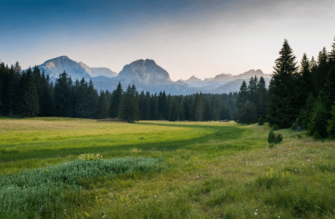
7 days · Hiking
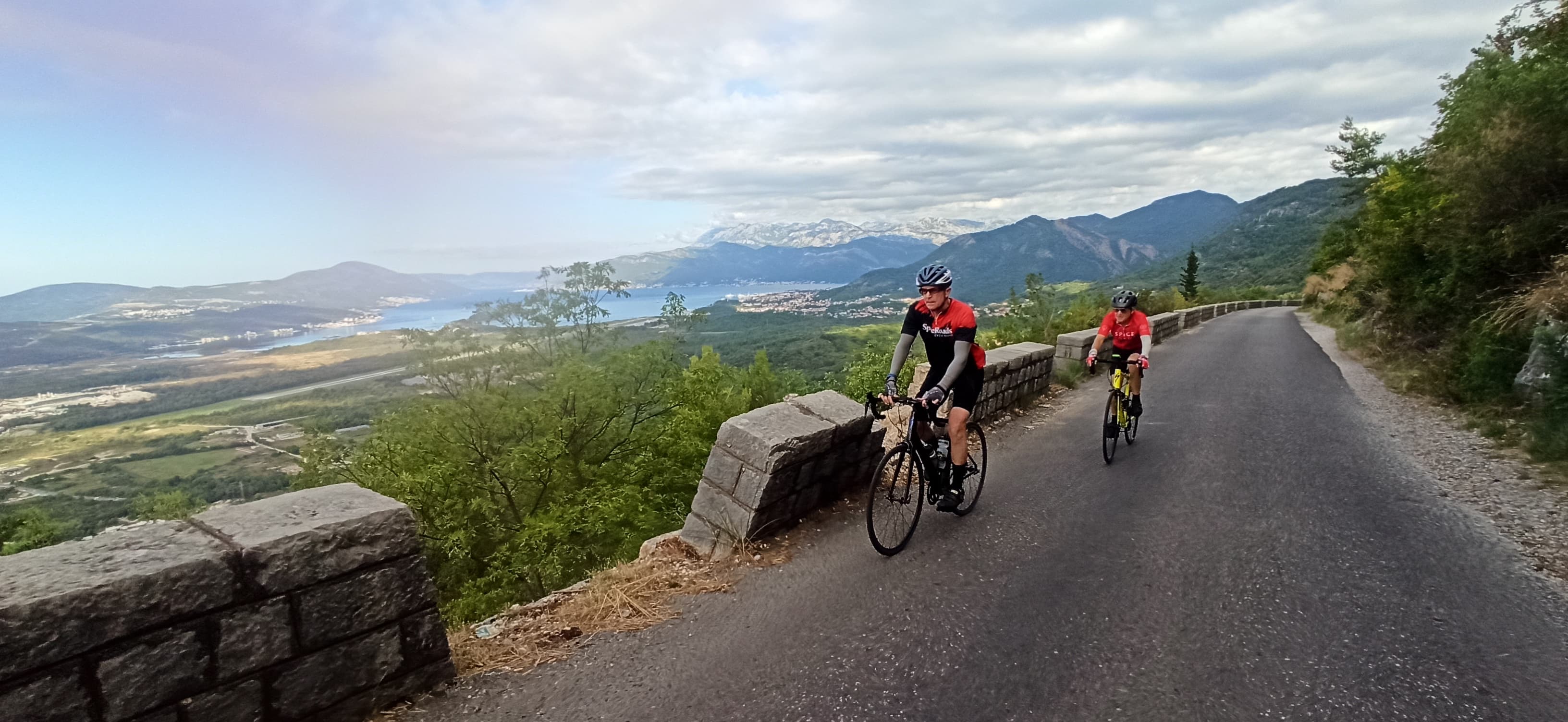
8 days · Cycling
7 days · Cycling
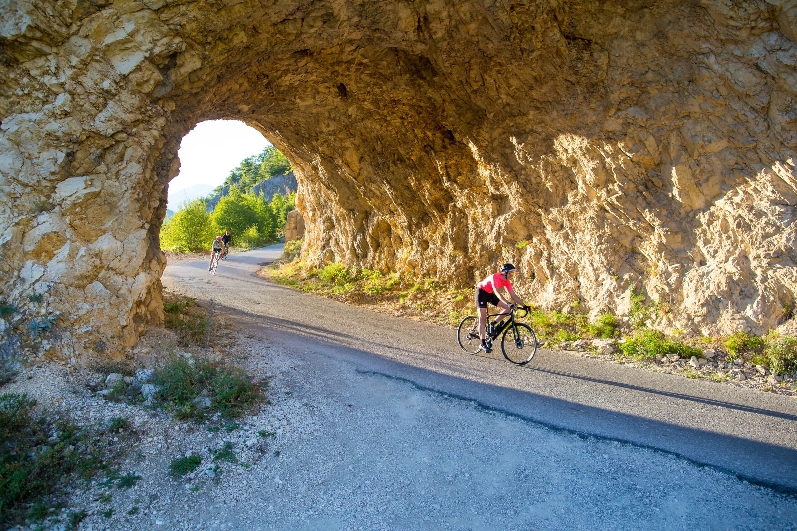
8 days · Cycling
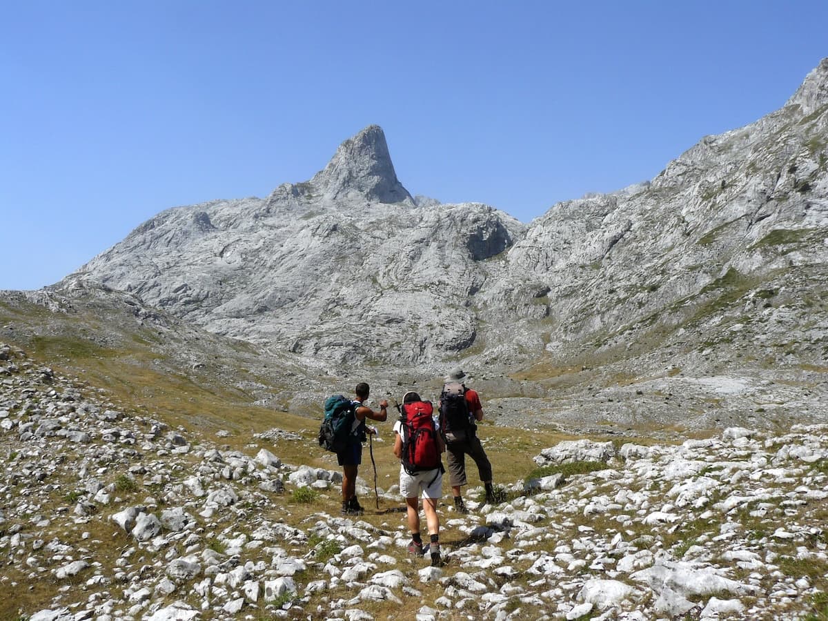
8 days · Hiking
8 days · Cycling
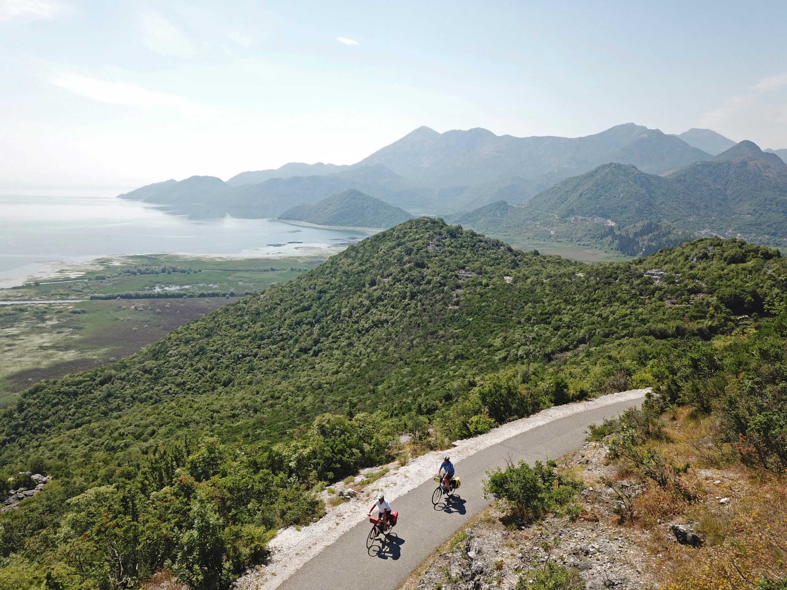
7 days · Cycling
7 days · Hiking
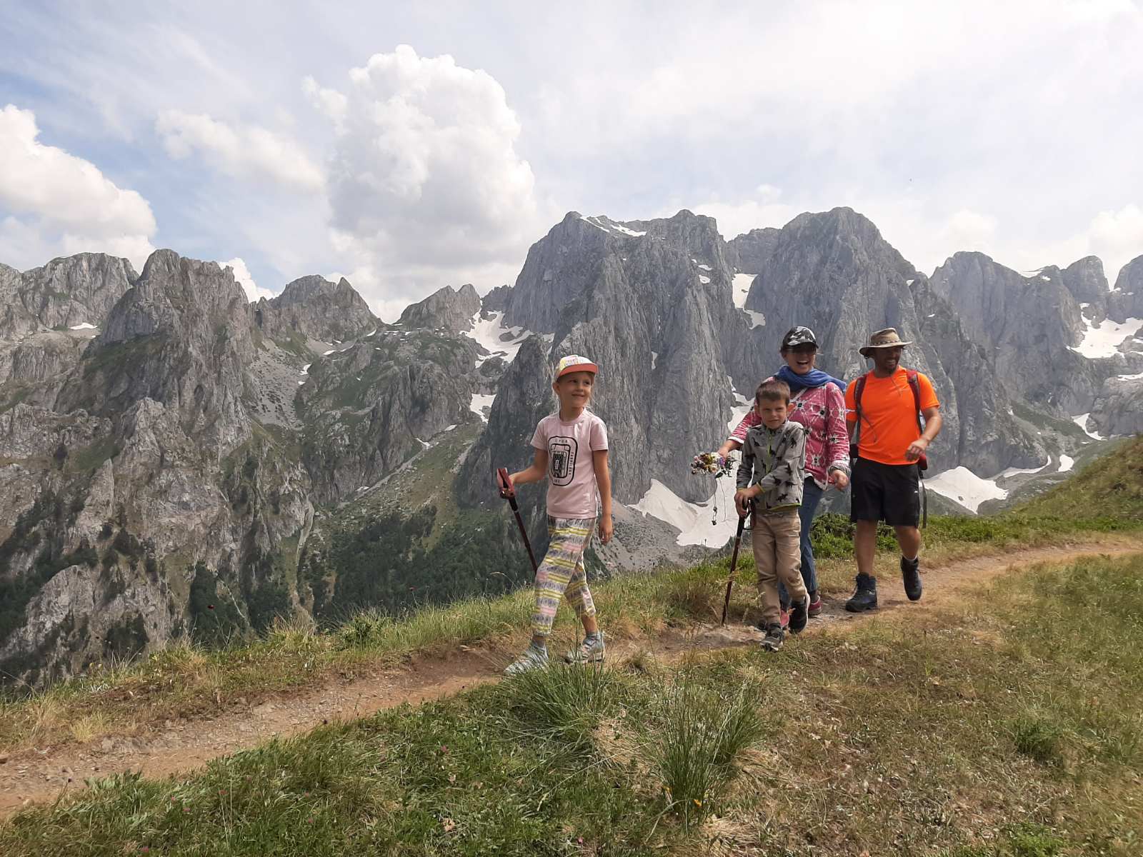
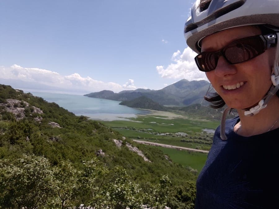
1 day · Cycling
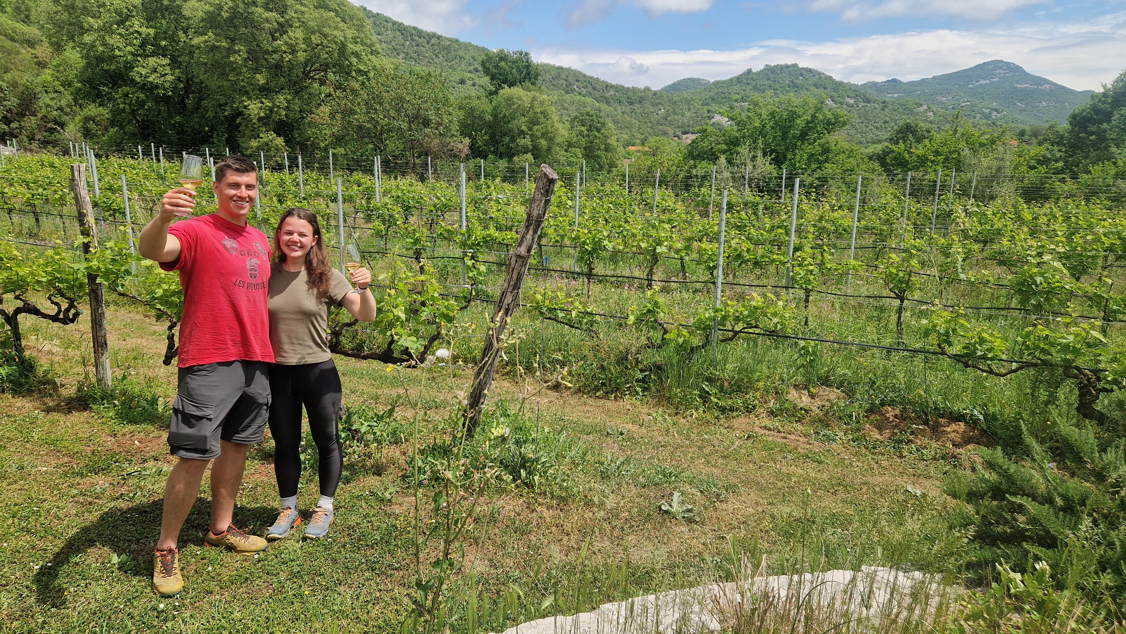
1 day · Cycling
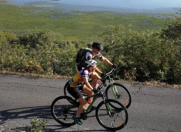
1 day · Cycling
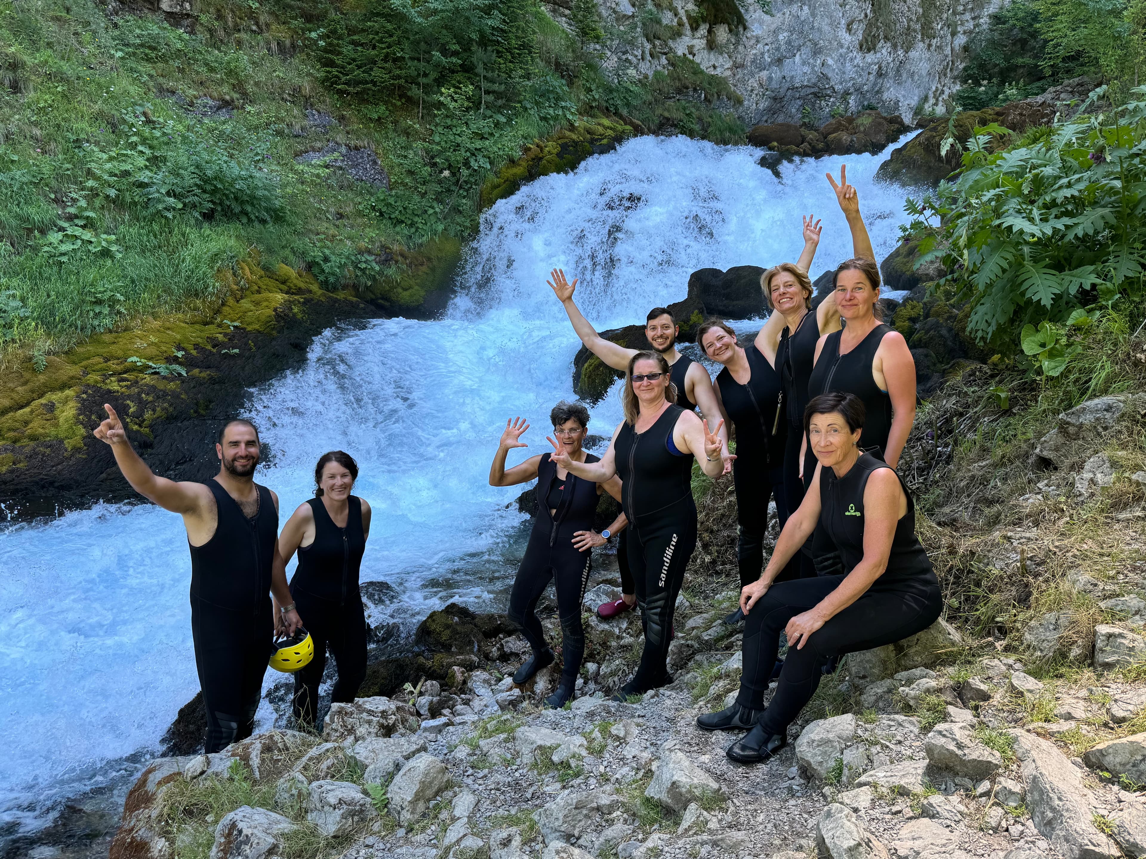
9 days · Cycling
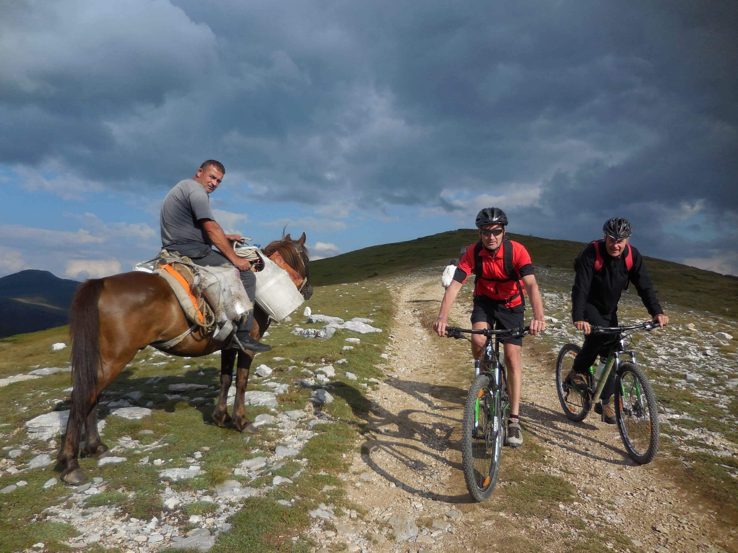
8 days · Cycling
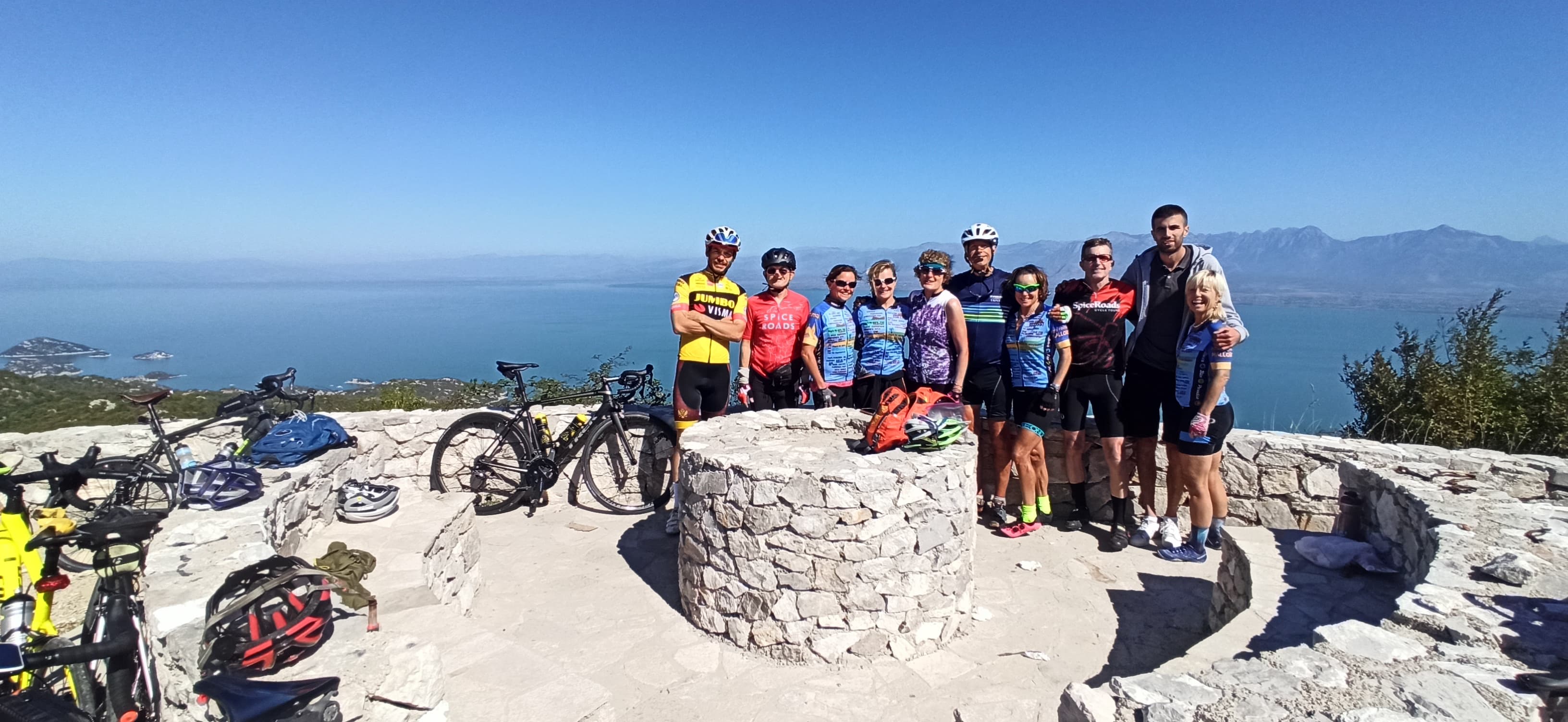
7 days · Cycling
7 days · Cycling
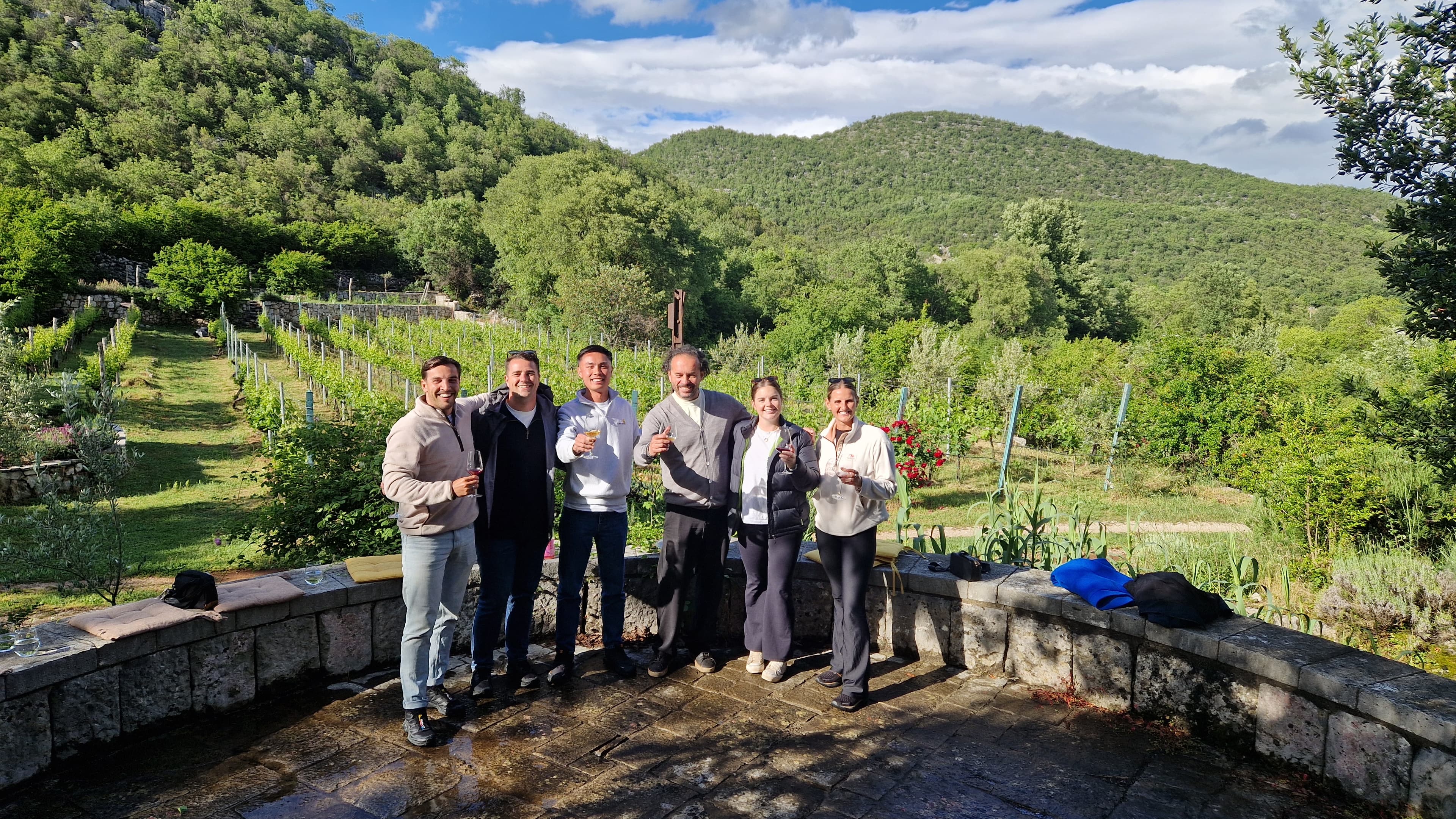
1 day · Multi-activity
from € 160,- / per person
Meet your guides
We live in Kotor. We walk these trails, ride these roads and eat in these konobas every week. When you book with us, you’ll usually speak directly to one of the people who’ll be guiding you.
Meet the whole team →
Management
Quality assurance, sales and communication.

Management
Product development, sustainability and marketing.

Tour operations manager
Backoffice — keeps every trip running smoothly on the ground.

Reservations & group tour operations
Backoffice — bookings, group logistics and guest care.
Tell us roughly when, who's travelling and what kind of pace you like. We'll send back a draft itinerary within 1–2 days, no payment until you're happy with the plan.
Plan your trip